
 Waterfalls
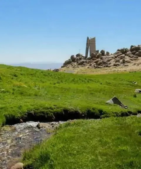

Mishan Plain
Province Hamadan
- Mountaineering
- Horse Riding
- Cycling
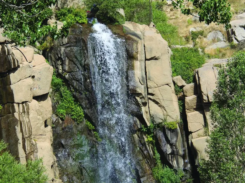
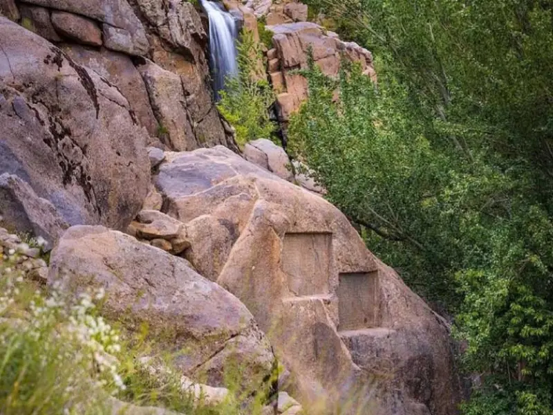
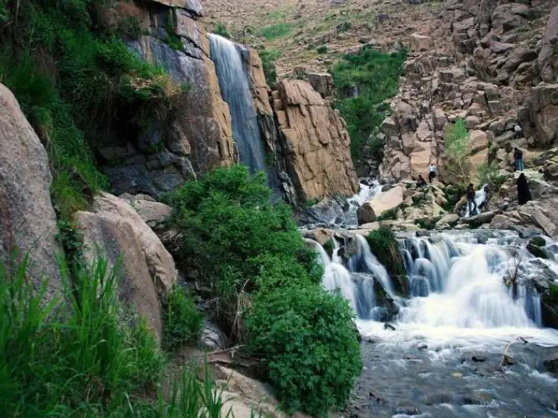
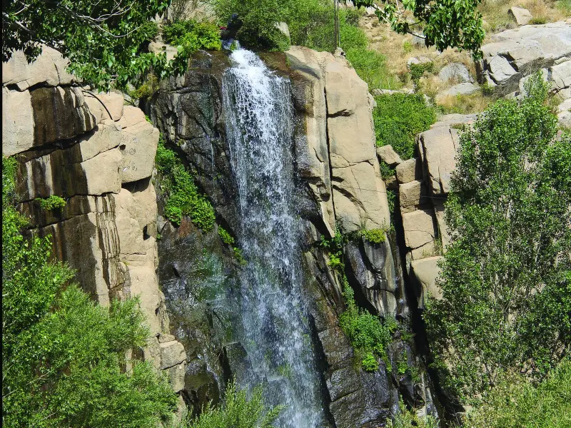
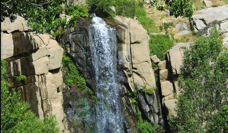
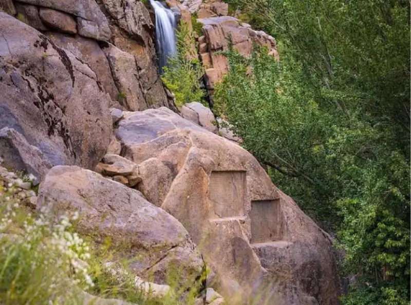
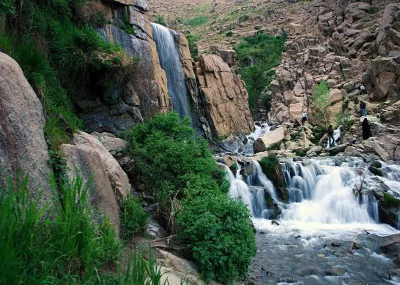
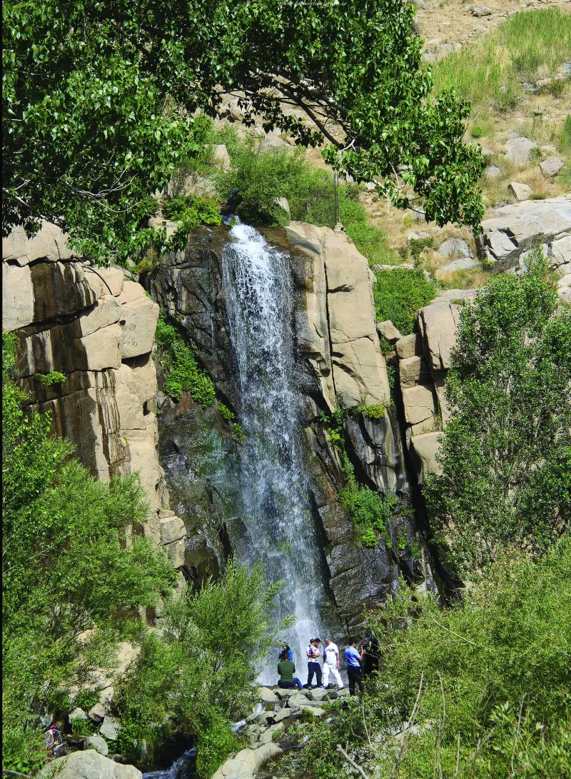
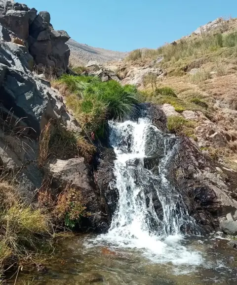
Ganjnameh Waterfall is one of the natural and historical attractions of Hamadan County, located on the slopes of the Alvand Mountains. It is regarded as one of the most beautiful waterfalls in Iran and is about 12 meters high. One of its most striking features is the historical inscriptions carved on two large rocks near the waterfall. Written in Old Persian and Elamite by Darius I and Xerxes, they date from the Achaemenid period. These historical works are not only culturally valuable but also reflect the rich history of the region.
The best time to visit Ganjnameh Waterfall in Hamadan is spring and summer. In these seasons the waterfall carries more water, and the surrounding nature is green and beautiful.
Ganjnameh Waterfall is generally not suitable for swimming. It has strong currents and varying depths, which can pose serious dangers to swimmers. In addition, some parts of the waterfall have sharp rocks and uneven underwater terrain, which can be hazardous.
Thanks to the recreational and tourist facilities around it, the location of Ganjnameh Waterfall has become a popular destination for families and tourists. Near the waterfall there are parks, restaurants and walking trails, which make visiting this attraction more enjoyable for tourists. We recommend wearing suitable shoes and bringing enough water for a better experience.
Written by ستایش عرب Last updated
What you can do here, and what it takes
مدت زمان پیادهروی از پارکینگ و ورودی اصلی تا خود آبشار، حدود ۱۵ تا ۳۰ دقیقه طول میکشد.
Province Hamadan
Province Hamadan
Province Hamadan
Province Hamadan
Province Hamadan


Unfortunately, no comments have been registered.