
 Mountain
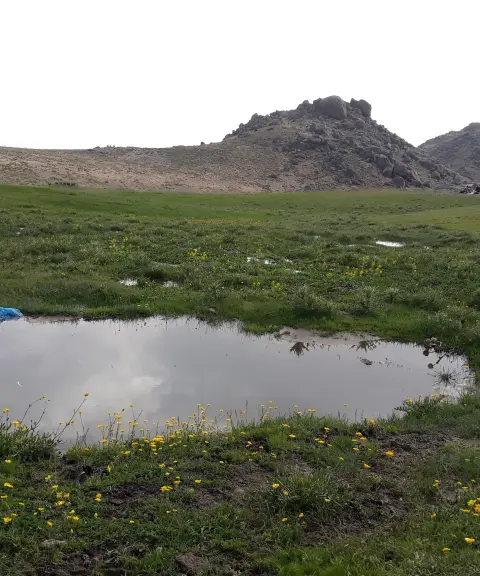
Alvand Mountain
The historic rooftop of Hamadan and one of the most magnificent peaks of the Zagros
- Mountain
- Hamadan, Hamadan
- Altitude 3,574 m
- Ability level Advanced
- Routes 1 recorded route
Ability level:
Advanced
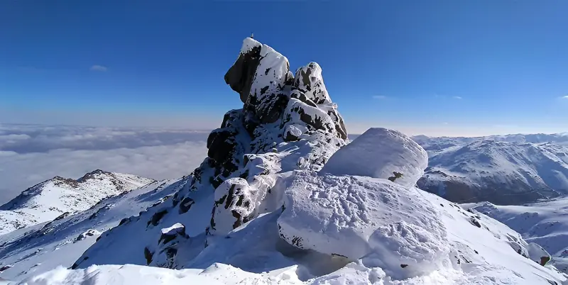
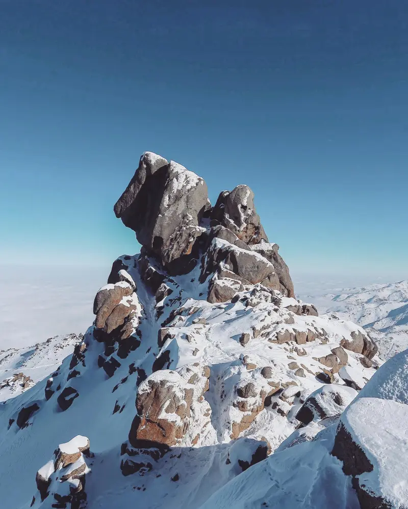
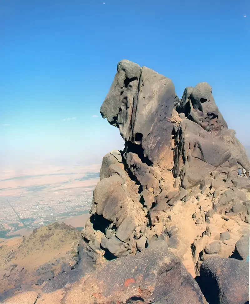
Alvand Mountain is one of the best-known peaks in Hamadan Province and part of the eastern branch of the Central Zagros. It lies south of the city of Hamadan and north of Tuyserkan. The summit sits on the ridge of the Alvand massif and, at an altitude of about 3,574 metres above sea level, is one of the most important heights in the region. Alvand's proximity to the city of Hamadan, its wide views over the surrounding plains and highlands, and its historical and cultural background have given the peak a special place among the natural attractions of Hamadan Province. Besides its natural importance, Alvand has long held a special place in local culture and beliefs, and its name appears in historical sources in forms such as "Arvand" and in Avestan texts as "Aurvant".
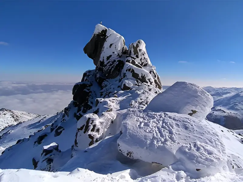
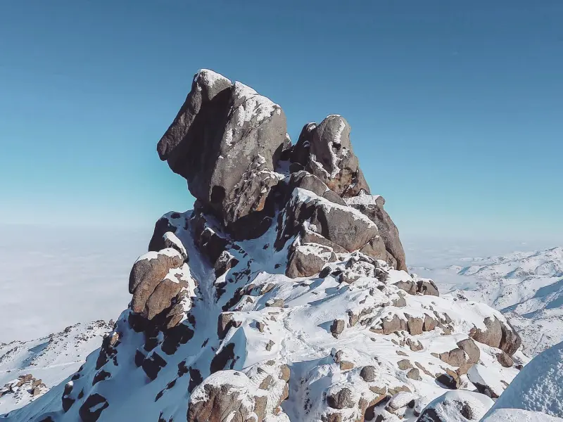
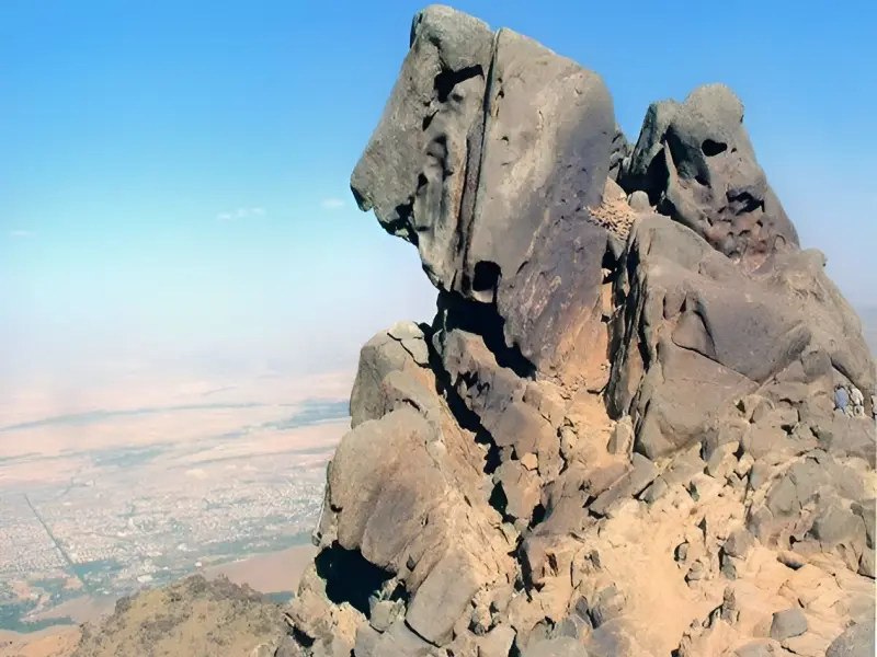
One of the distinctive features of Alvand is the rocky structure of its summit and a small, deep cleft between the rocks on the southern slope, facing Tuyserkan. In local belief it is said to be the tomb of Sam, son of Noah, which gives it cultural and religious significance. Around the summit there are also numerous springs and natural features, among which the Howz-e Nabi spring, located beneath the summit rocks, is one of the best-known spots on the route. Mountain scenery, high-altitude meadows, granite rocks and diverse vegetation are further natural features of the peak. In spring its slopes look especially beautiful, covered with plants such as milkvetch (gavan), mint (puneh), rhubarb, wild shallot (musir), tulips and lilies. Because Alvand lies next to the Mishan Plain, Takht-e Nader and other natural features of the mountain, climbing it is not only a mountaineering trip but also an experience of nature tourism in the highlands of Hamadan.
To reach the main climbing route, first travel from the city of Hamadan towards the Ganjnameh Valley. The trail starts in the Ganjnameh area and, after passing through mountainous terrain, continues towards Mishan Square (Meydan-e Mishan). It then follows a footpath to Takht-e Nader, from where the final ascent heads towards the ridge and summit of Alvand. The main route starts at about 2,193 metres at Ganjnameh, and some sections, especially the final part after Takht-e Nader, are steeper and rockier. Under normal conditions, late spring and summer are the best times to climb: in spring the nature around the summit is green and full of flowers, and in summer the air at altitude is cooler than in the city, whereas a winter ascent requires more equipment and experience because of snow, ice and changeable weather. During the trip, avoid picking plants, leaving rubbish, damaging springs and vegetation, and lighting fires in unsuitable places, and walk the route without harming the natural environment.
Written by زهرا لنگری Last updated
Activities
What you can do here, and what it takes
-
Walking
مسیرهای پاکوب اطراف گنجنامه، میدان میشان و تخت نادر برای پیادهروی و گشتوگذار در ارتفاعات مناسب هستند.
-
Mountaineering
مسیر گنجنامه، میدان میشان و تخت نادر تا قله الوند یکی از مسیرهای شناختهشده صعود به این قله است.
Specifications
Introduction of the location and specifications of Alvand Mountain
Location:
Hamadan, Hamadan
Coordinates:
34.76348703, 48.40256989
Open in maps
Height above mean sea:
3574 meter
Land Form:
Mountainous, Mountain
Floras:
Semi-humid mountain climate
Faunas:
Presence of Predatory Animals, Presence of Allergenic Insects, Presence of Herbivorous Animals
Transports:
Private car, Only with technical climbing equipment, Minibus, Bus
Tourist Attractions in Hamadan
Attractions that are nearby

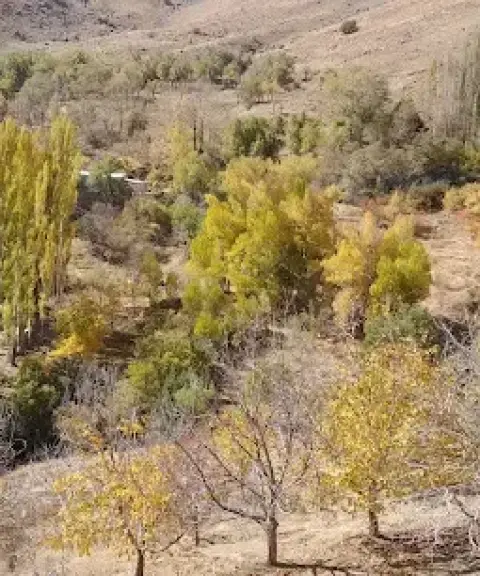

Kivarestan Valley
Province Hamadan
- Walking
- Canyoning
- Mountaineering
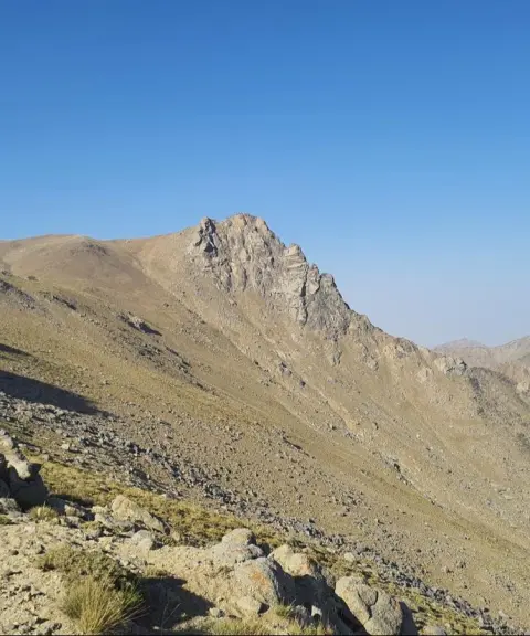
A lush green valley in the heart of the Alvand mountains
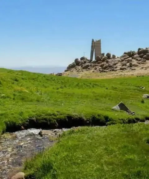
Mishan Plain
Province Hamadan
- Mountaineering
- Horse Riding
- Cycling
A plain lying at the foot of Alvand
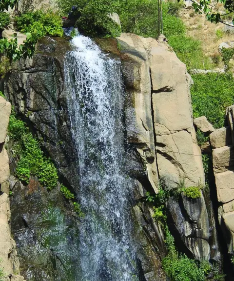

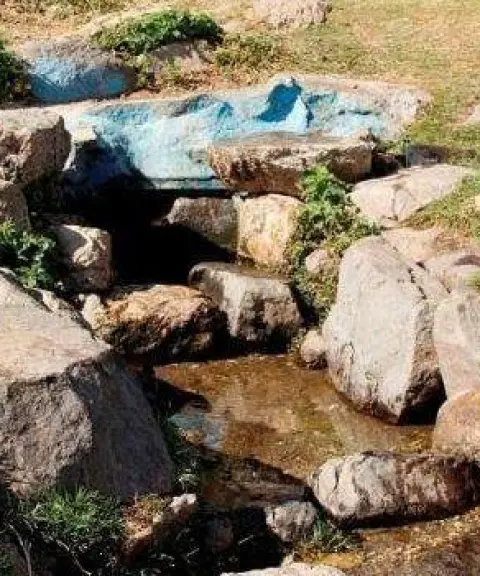

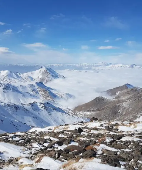
Daemboroof Peak (Permanent Snow Peak)
Province Hamadan
- Mountaineering
The cold heights of the Alvand mountain range in Hamadan
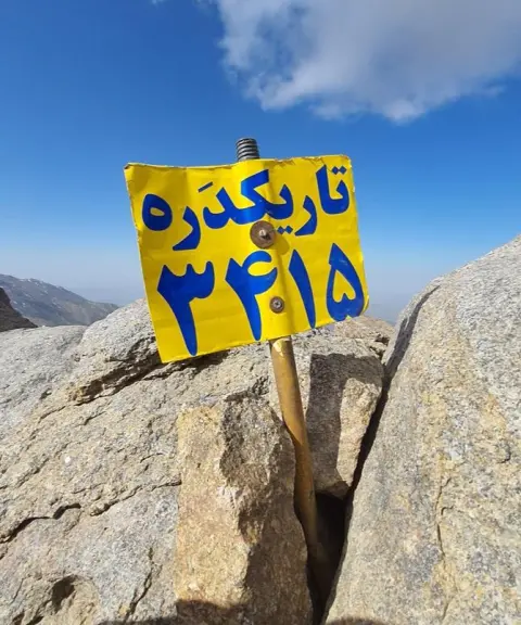
Tarikdareh Peak
Province Hamadan
- Walking
- Mountaineering
- Skiing
A high peak among the valleys of Alvand
Related tags:
Unfortunately, no comments have been registered.