
 Attractions


Karkheh National Park
Province Khuzestan
- Walking
A Treasure of Elamite Civilization in the Heart of Khuzestan
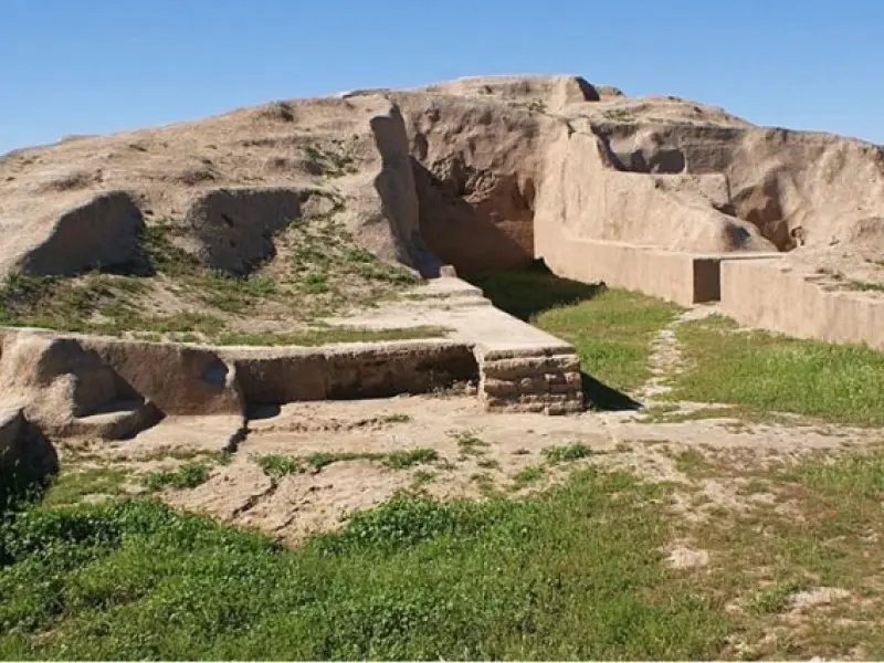
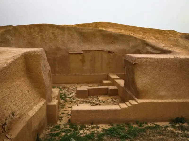
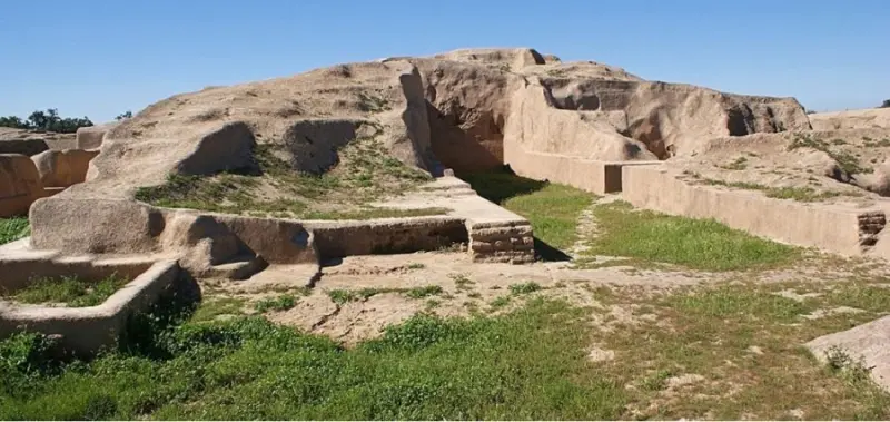
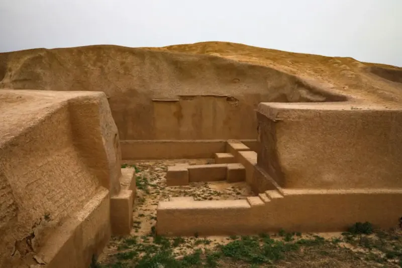
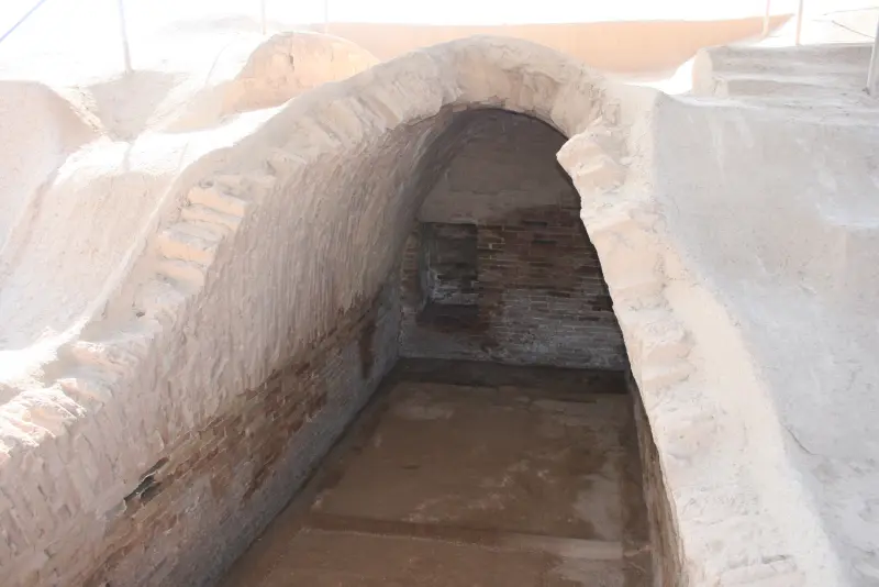
The ancient site of Haft Tappeh is located in Khuzestan Province, about 10 kilometers southeast of the city of Susa. The site consists of a group of ancient mounds that probably hold the Elamite city of Tikni, also known as Kabnak. The extent of this archaeological site has drawn the attention of many different excavators.
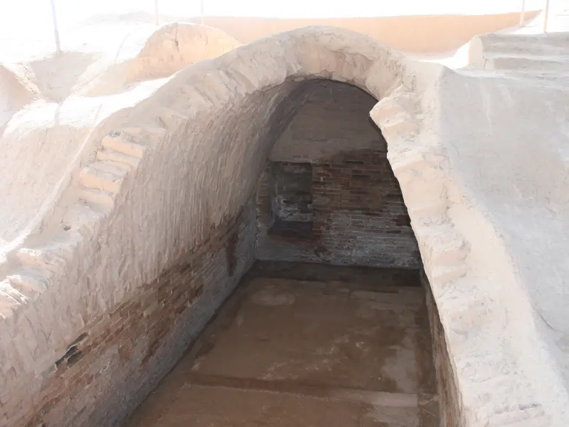
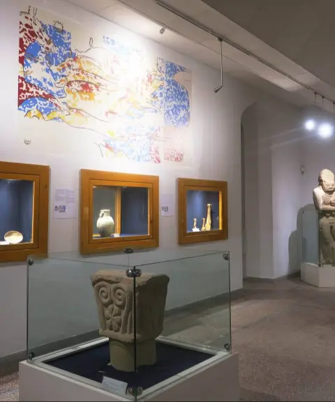
The site contains the remains of a large city and community from the Middle Elamite period, whose inhabitants lived there around 3500 years before Christ. Many architectural and artistic remains have been discovered in this area, including the tomb of Tepti Ahar, which is known as the oldest example of a crescent-shaped (vaulted) arch in the world. This tomb contains 23 skeletons buried alongside one another. Today, the Haft Tappeh Sugarcane Agro-Industry Company, one of the largest companies in its field, operates in the Haft Tappeh area together with several other large companies. Most of the employees of these companies live in the same area, and many memories of the past live on among the people of this region.
To reach the site, you can take the asphalt road from Susa to Ahvaz; the site is about 15 kilometers from Susa. The best time to visit Haft Tappeh is spring and autumn, when the weather in the area is mild and suitable for sightseeing. When visiting this historic site, it is essential to follow the principles of sustainable tourism, including keeping the environment peaceful, avoiding noise pollution and collecting your trash, so that this valuable heritage is preserved for future generations.
Written by زهرا لنگری Last updated
What you can do here, and what it takes
مسیرهای باستانی و تپههای اطراف مناسب پیادهروی تفریحی و گشتوگذار است.
Province Khuzestan

Province Khuzestan



Unfortunately, no comments have been registered.