
 Attractions
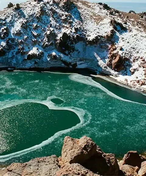

Zagh Cheshmeh
Province Mazandaran
- Walking
A cool highland summer pasture on the slopes of the Central Alborz
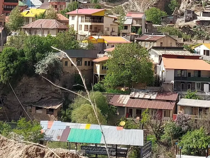
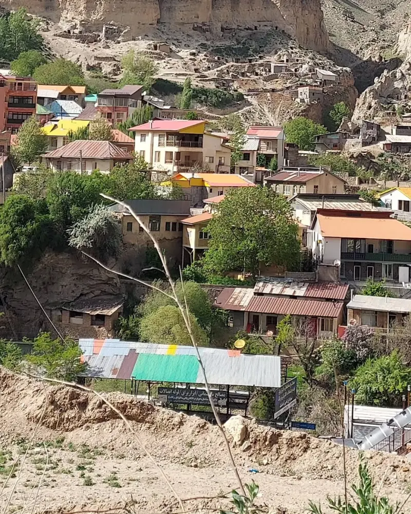
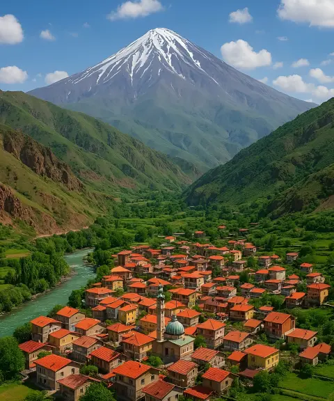
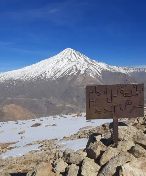
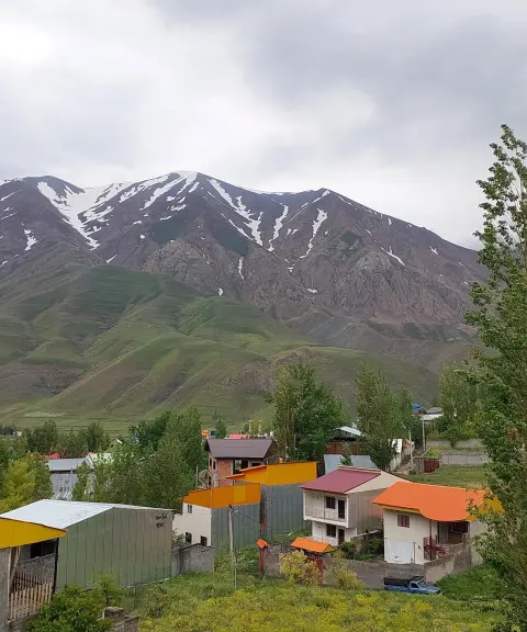
Ira is a village in Bala Larijan District, Amol County, Mazandaran Province. It lies on the southern slopes of the Central Alborz, southeast of the majestic Damavand Peak. The village is known for its mountain setting, with dry, cool summers and very cold, snowy winters. According to the 2016 census (1395 in the Solar Hijri calendar), Ira had a population of 69 people in 29 households. Many of its residents are "khosh-neshin", meaning they stay in the village during the warm seasons and return to the city of Amol for the rest of the year.
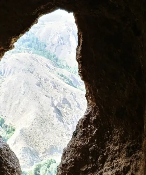
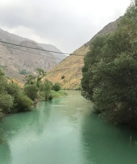
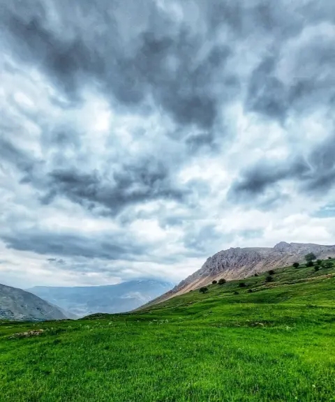
Ira is a beautiful summer pasture (yeylaq) with scenic views of the surrounding mountains, abundant, bubbling springs, and seasonal streams and waterfalls that are full from late winter to early spring. The village has three main areas, Mahal, Yah and Kharu, where the springs of Sangnow (Irarajeh), Navarjeh, Yah and Kharu supply drinking and irrigation water. Ira is surrounded by several mountain ranges and hills: to the north the Sayeh-Khuni Pass and Mount Zarrinjak; to the west the Zardlash and Bandbon mountains; to the south mountains such as Homasan and Gelandan; and to the east the Espehkhak Valley and Sangnow Peak. All of them provide visitors with a stunning natural landscape. On the slopes of Mount Gelandan there is also a natural glacier that works like a deep, cold well, keeping a stable store of ice and snow throughout the year.
Ira can be reached from the city of Amol via the Haraz Road. After reaching the side roads of Larijan District, the route leads towards the village of Abesk and finally to Ira. The best time to visit this summer pasture is summer, especially the months of Mordad and Shahrivar (roughly August and September), when the weather is pleasant and nature is at its most lush and beautiful. In autumn and winter, heavy snowfall and severe cold can make a visit difficult, requiring good physical fitness, suitable equipment and awareness of road conditions. For responsible nature tourism, you are advised to collect your rubbish and take it back with you, avoid damaging vegetation, stick to established trails, refrain from lighting fires in unauthorized places, and respect the quiet and peace of the local wildlife habitat.
Written by زهرا لنگری Last updated
What you can do here, and what it takes
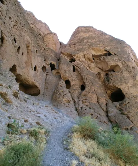
مسیرهای پاکوب میان باغها، کنار چشمهها و درههای اطراف روستا مناسب برای گردش یکروزهاند.
کوههای اطراف مانند گلندان، سنگنو و گردنه سایهخونی گزینههایی مناسب برای صعودهای نیمروزه و روزانهاند.
Province Mazandaran
Province Mazandaran
Province Mazandaran
Province Mazandaran
Province Mazandaran


Unfortunately, no comments have been registered.