
 Mountain
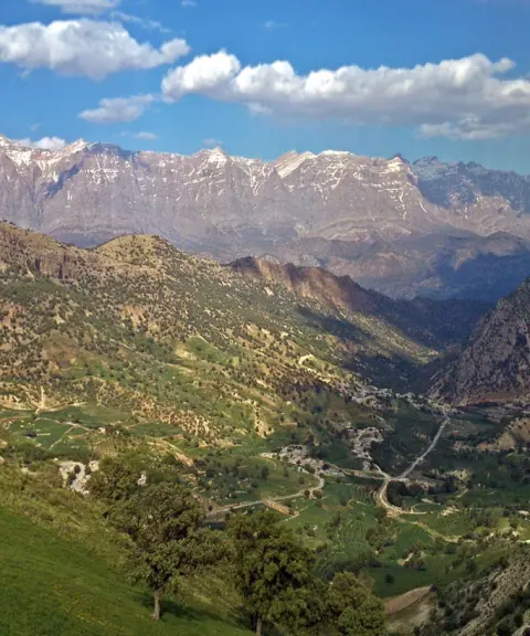
Dena Mountain Range
Province Kohgiluyeh and Boyer-Ahmad
- Mountaineering
The Roof of Kohgiluyeh and Boyer-Ahmad
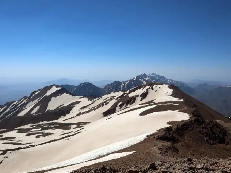
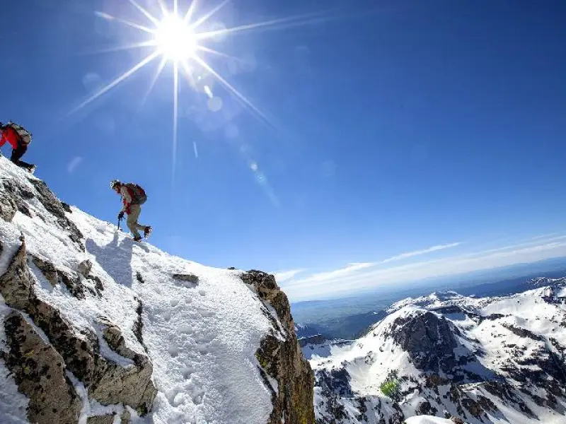
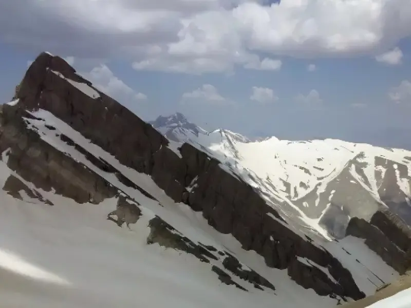
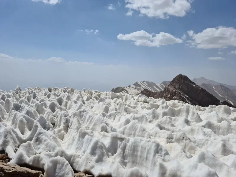
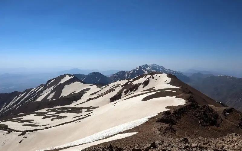
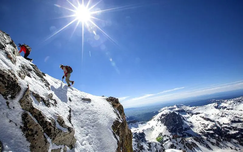
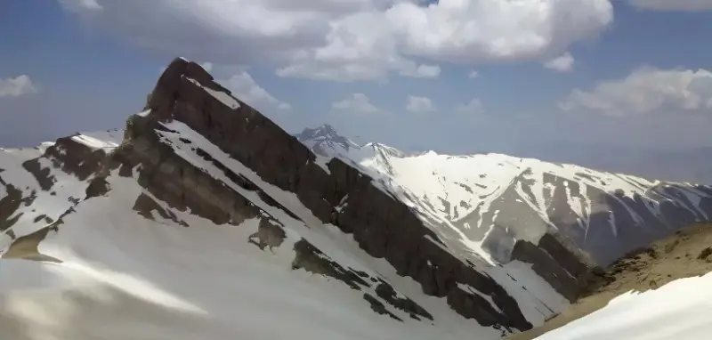
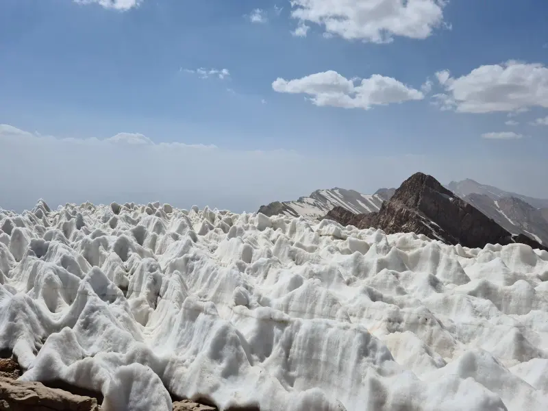
Qash-Mastan Peak, also known as Bijan 3, is the highest peak of the Dena range and of the greater Zagros Mountains. It lies 35 km northwest of Yasuj. The town of Sisakht, the capital of Dena County, sits at the foot of this mountain. The peak is also known as the highest mountain in Kohgiluyeh and Boyer-Ahmad Province, and for this reason it is one of the Simorgh Peaks. The peak is named Qash-Mastan after the cleft (qash) at its summit (qash or qach means a cleft or notch), and it is said that the region's wild goats and mountain goats come to this cleft during the mating season, which is how the peak got the name Qash-Mastan. The first ascent of Qash-Mastan dates back to 1333 (1954).
Qash-Mastan Peak is 4,450 meters high and is the tallest peak in the Dena range. The Dena range has 49 peaks above 4,000 meters. With the largest cluster of 4,000-meter peaks in Iran, Dena shines like a unique jewel among Iran's mountain ranges. Because of its great length and varied elevations, annual precipitation on the mountain ranges from 600 to 1,800 millimeters, and many rivers originate here, among them the Beshar, Khersan, Rigan, Marbar, Mehriyan, Kuh-e Gol, Diyashem, Sariz, Tizab and Dezhkord.
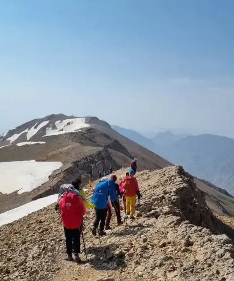
There are three different routes to the summit. The first is the northern route, the most common way up Qash-Mastan, which starts from the village of Khafar-e Padena. From the village there are two paths to the mountain hut. The left-hand path, the Kuhdezh route, is the shorter one, and the right-hand path, the Waterfall route, is longer. The second is the southern route, which goes over the Bonro Pass directly beneath the summit of Qash-Mastan; about 15 meters at the end of the rock section on this route needs to be protected with a rope. The third is the western route, which starts from the village of Sisakht and can also be climbed by crossing the central ridge of Dena.
Written by کیانا دهبندی Last updated
What you can do here, and what it takes
مسیری مناسب برای کوهنوردی چالشی و نیازمند تجربه صعود قلههای نزدیک به این ارتفاع جهت محک آمادگی جسمانی است.
Province Kohgiluyeh and Boyer-Ahmad
Province Kohgiluyeh and Boyer-Ahmad
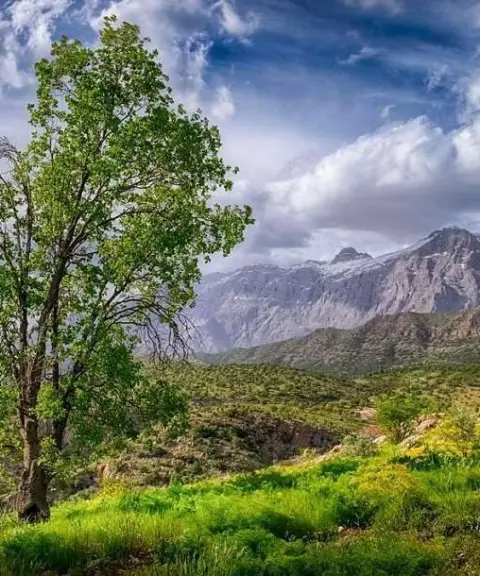
Province Kohgiluyeh and Boyer-Ahmad
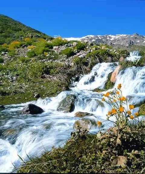
Province Kohgiluyeh and Boyer-Ahmad
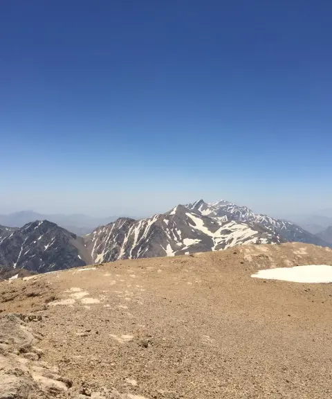
Province Kohgiluyeh and Boyer-Ahmad
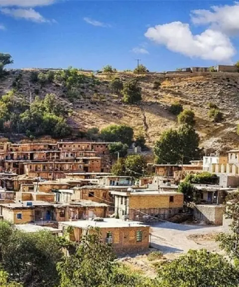
Province Kohgiluyeh and Boyer-Ahmad


Unfortunately, no comments have been registered.