
 Mountain
- Ability level Advanced
- Routes 1 recorded route
Ability level:
Advanced
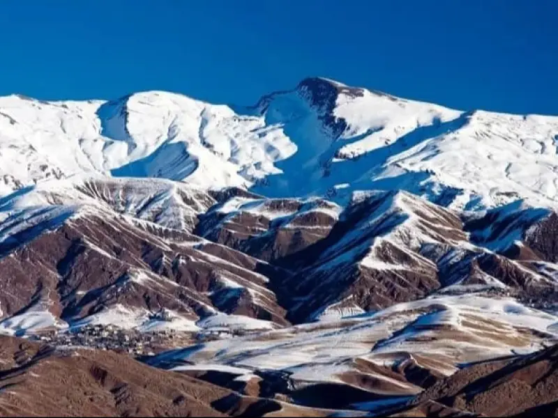
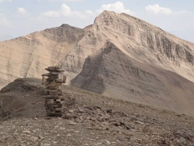
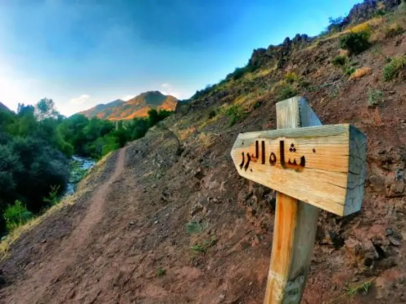
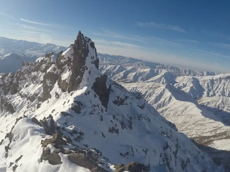
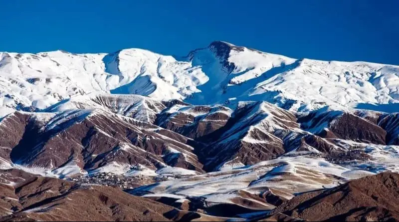
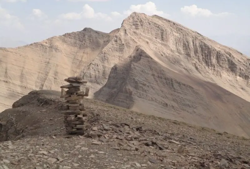
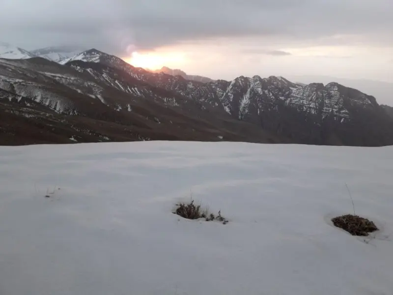
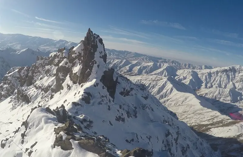
Shah Alborz is the name of a mountain range and a peak in the Alborz, with an elevation of 4,170 meters. This range forms the natural border between Alborz and Qazvin provinces. Its southern slopes overlook the Taleqan Valley in Alborz Province, and its northern slopes overlook the Alamut Valley in Qazvin Province. Shah Alborz is the highest summit of a long, towering ridge that lies north of the town of Taleqan, between the Taleqan Valley to the south and the Alamut Valley to the north. To the south, this ridge ends at the villages of Hasanjun, Heranj, Artun, Bazaj and Shahrasar; to the east at Parachan and Dizan; to the north at Dineh Rud, Kalan, Silikan, Avanak, Balarouch, Paeen Rouch and the Alamut Valley; and to the west at the village of Avah. On its western side, Shah Alborz reaches the Zivarchal peak, and its northern flank is bounded by cliffs and high rock walls of about 600 meters and by permanent glaciers.
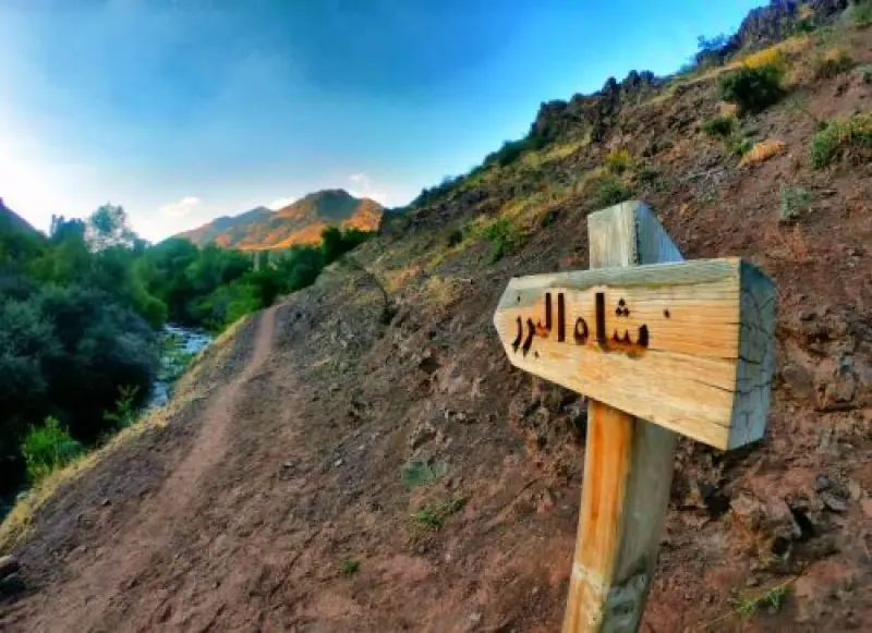
There are three different routes to the summit of this tall peak. The most common is the southern face route, which runs from Taleqan through the village of Hasanjun and the Gusfandsara route. The second is the southern route from Taleqan via the village of Heranj and Si Cheshmeh. The third is the northern route from the Alamut Valley, passing through Moallem Kalayeh and the village of Garmarud.
If you plan to climb this peak, there are a few points to keep in mind along the way. The route has no shelters or huts. The round trip is about 35 kilometers. You will need to gain about 2,300 meters of elevation, and spring water is available in the lower sections of the route.
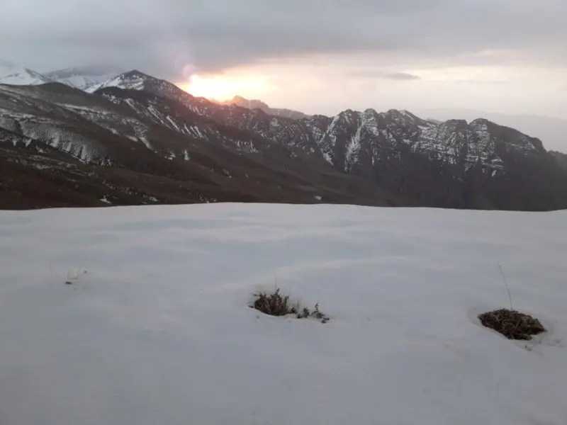
The best time to climb Shah Alborz is early summer. The peak is usually climbed over two days. A winter ascent of Shah Alborz requires previous experience and heavy winter mountaineering equipment. The route is one of the longest among the peaks of the Alborz range. However, there is no serious technical difficulty or scrambling on the way up. In terms of difficulty, this peak can be compared with the southern route of Damavand or Alam-Kuh (from the Hesarchal side).
Written by کیانا دهبندی Last updated
Activities
What you can do here, and what it takes
-
Mountaineering
قلهای چالشی و همچنین نیازمند آمادگی جسمانی بالا به دلیل طولانی بودن مسیر میباشد.
Specifications
Introduction of the location and specifications of Shah Alborz Peak
Location:
Alborz, Taleqan, Alborz Mountain Region
Coordinates:
36.31439291, 50.75290942
Open in maps
Height above mean sea:
4170 meter
Land Form:
Mountainous, Mountain
Faunas:
Presence of Predatory Animals, Presence of Herbivorous Animals
Transports:
Only with technical climbing equipment
Related Tourist Attractions
Attractions that are in the Mountain category
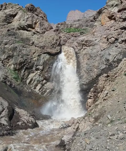

Tono Waterfall (Gharehno)
Province Alborz
- Walking
A Pristine Natural Wonder in the Highlands of Taleqan
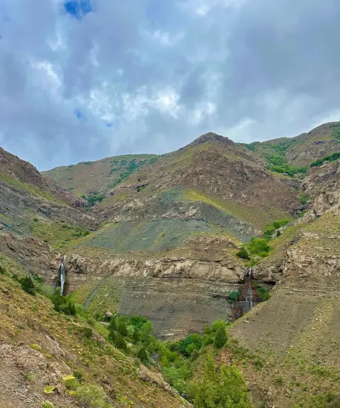

Pichban Canyon
Province Qazvin
- Walking
- Canyoning
- Rock Climbing
A Technical Adventure in the Heart of Eastern Alamut
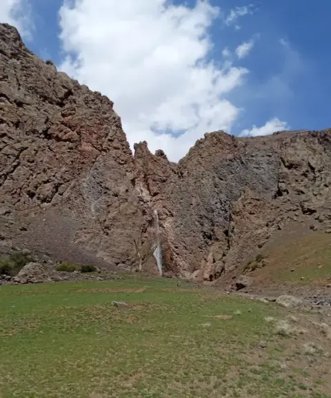

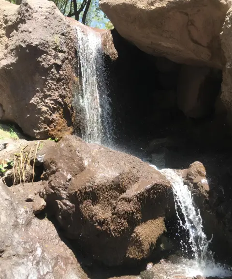
Segran Waterfall
Province Alborz
- Walking
- Mountaineering
A spectacular sight on the lush slopes of Taleghan
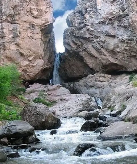
Karkabud Waterfall
Province Alborz
- Swimming
- Walking
A beautiful attraction in the heart of Taleqan's nature
Related tags:
Unfortunately, no comments have been registered.