
 Mountain
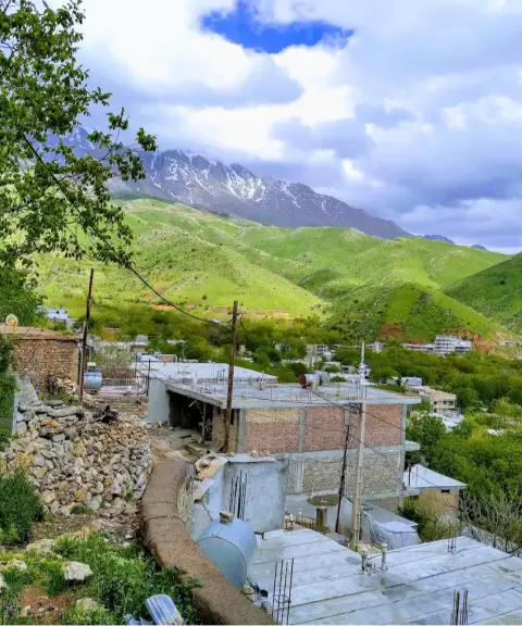

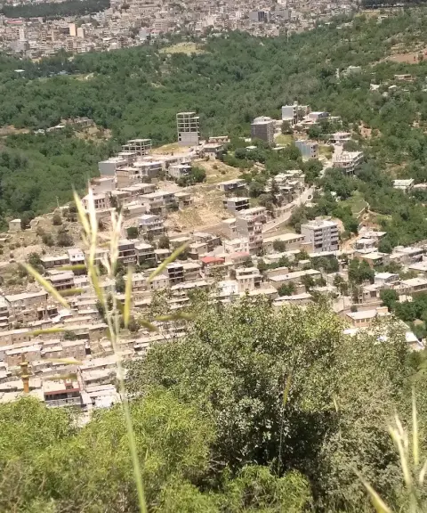
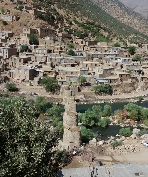
Shamshir Village
Province Kermanshah
- Walking
- Mountaineering
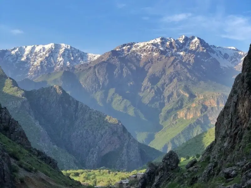
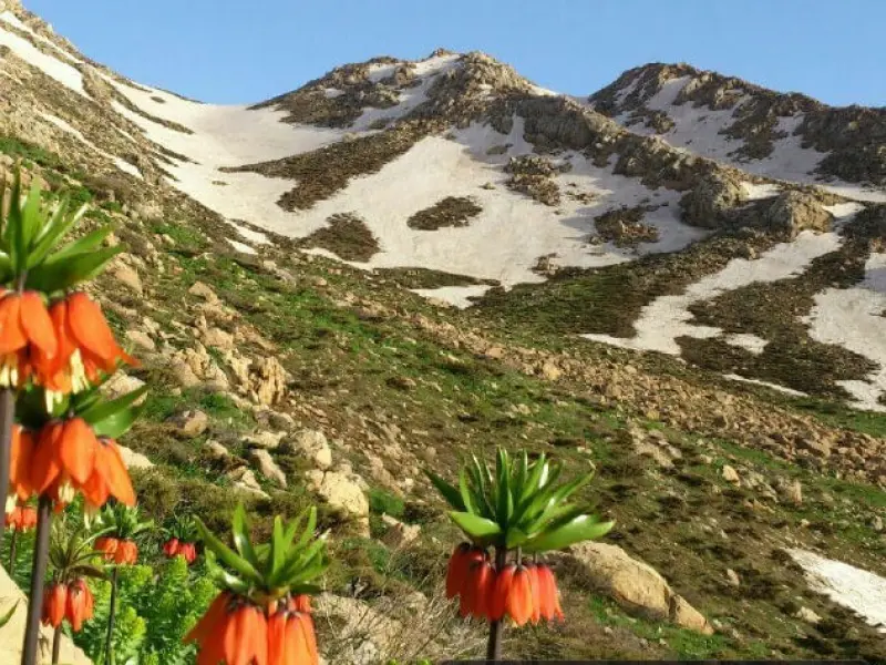
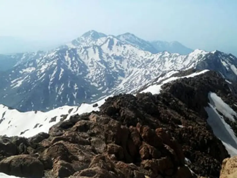
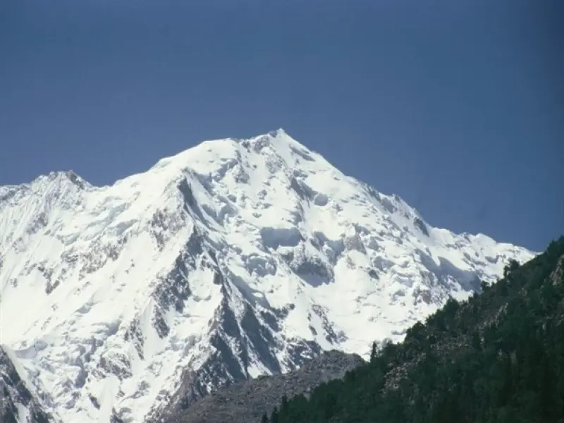
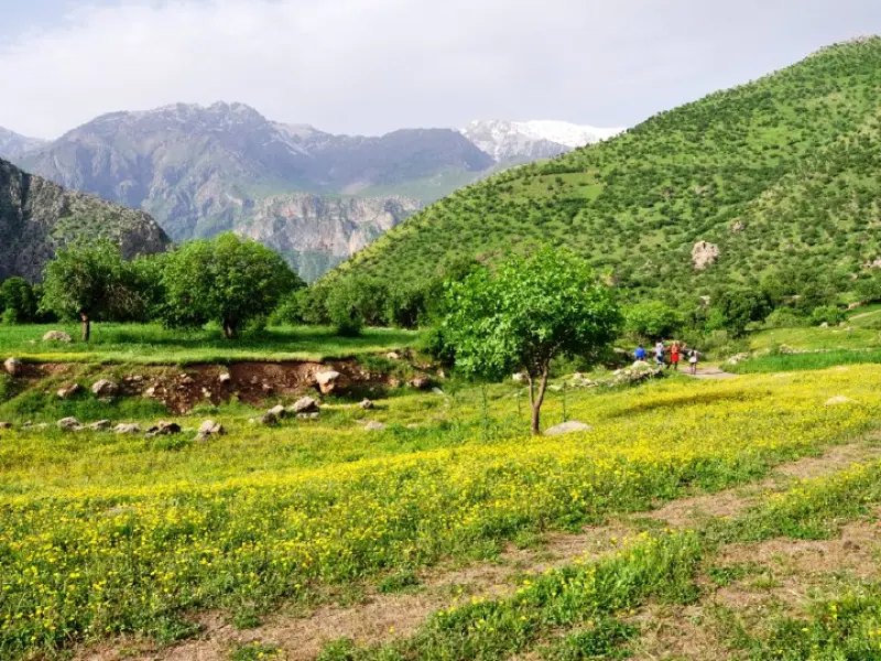
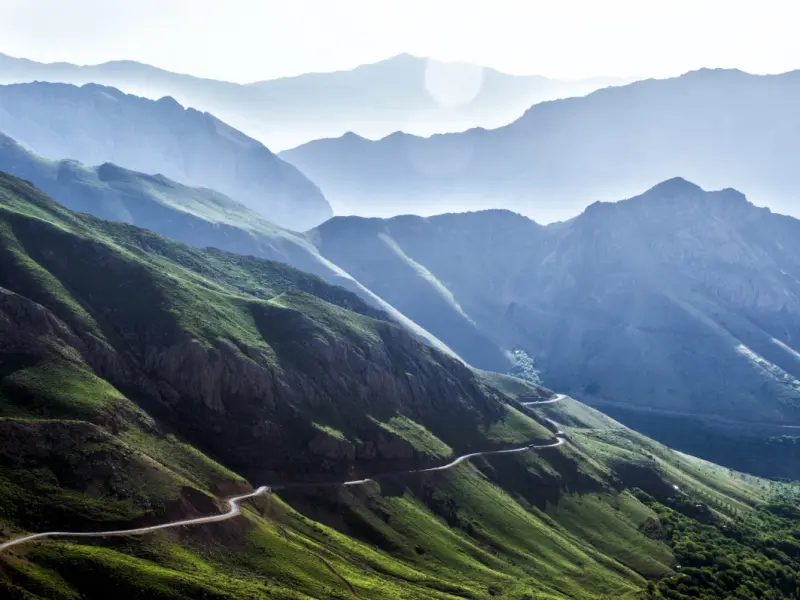
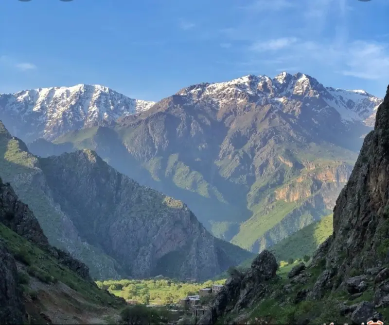
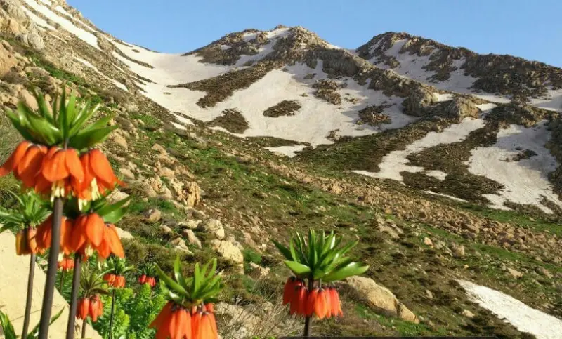
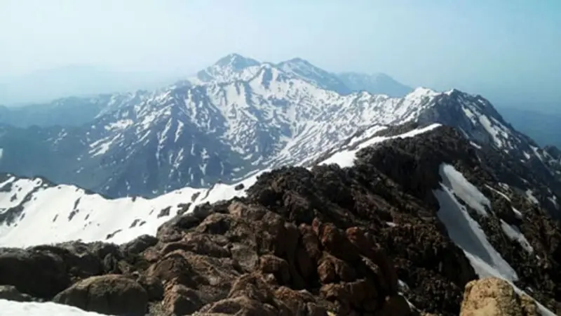
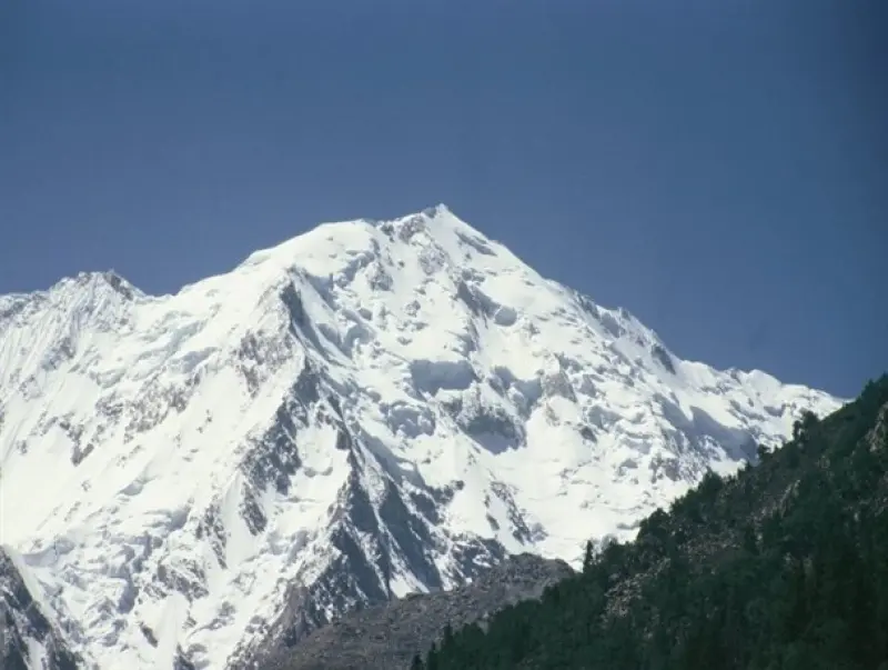
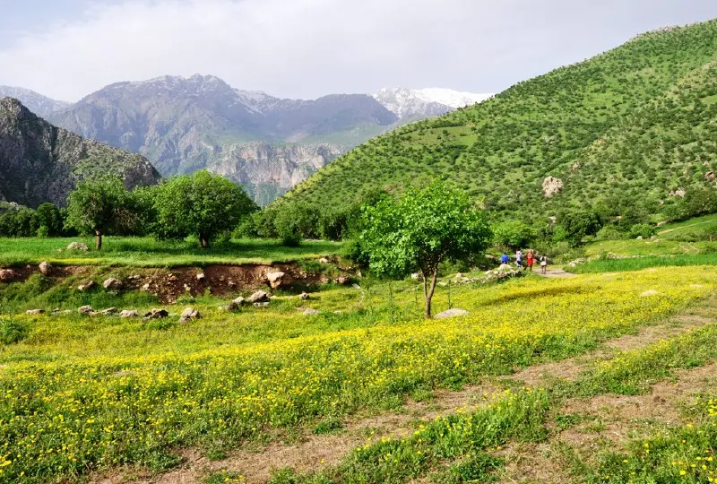
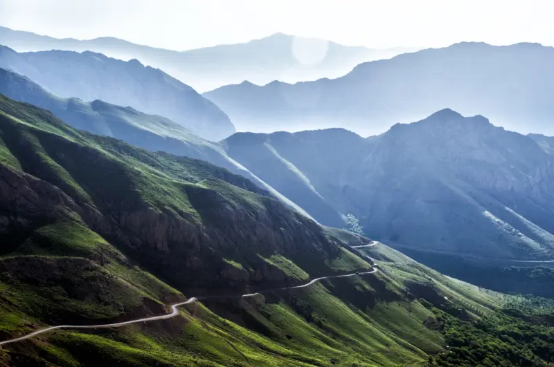
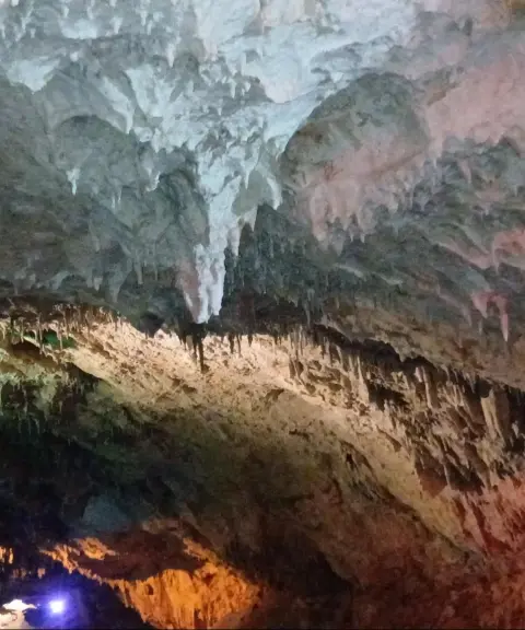
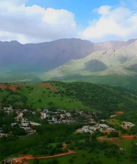
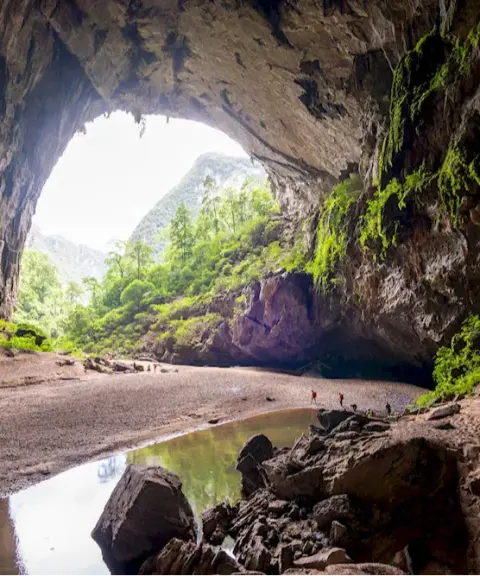
Shahu is a mountain range in the northwest of Kermanshah Province and the south of Kurdistan Province. Its highest peak, known in Kurdish as Hoveyz Khani, stands at 3,390 meters above sea level, northeast of the village of Tazeh Abad-e Sarias. The range extends from east of Sulaymaniyah to north of the city of Ravansar. Other peaks in the range include Zavoli (3,305 m), Pir Khedr (3,250 m), Nur (3,110 m) and Takht-e Sani (2,950 m). The Shahu range is part of the Zagros Mountains, lying on the border between Kurdistan and Kermanshah provinces, close to the Sirvan River. The mountain is made of limestone and is karstic, so the dissolving of this limestone has created many cavities and caves, such as Quri Qaleh Cave and Kavat Cave. It is one of the most important and best-known mountains of the Hawraman region.
Because of the rugged route and sharp rocks, the climb is highly demanding. It requires a high level of physical fitness and mountaineering equipment such as gloves. Water is available at the start of the route. For more than 2 hours you will be alternately dealing with rock. The average ascent takes about 6 hours and the average descent about 5 hours.
There are several routes to the summit of Shahu, all of which can be grouped into the following: the western route, starting from the village of Shamshir or Tazeh Abad, which is the common, shorter route; the eastern route, starting from the village of Yuzidar or Divzanav, which is longer and therefore has a gentler gradient; and finally the ridge route, which is long, and on which the summer pastures of Divzanav village give a striking, beautiful view of the Shahu mountains during the ascent.
Written by کیانا دهبندی Last updated
What you can do here, and what it takes
به دلیل مسیر ناهموار و وجود سنگهای تیز درجه سختی بالایی دارد و نیاز به آمادگی جسمانی بالایی میباشد.
Province Kermanshah
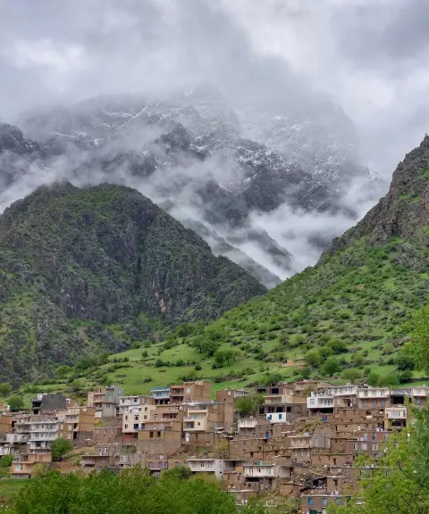
Province Kurdistan
Province Kermanshah
Province Kermanshah


Unfortunately, no comments have been registered.