
 Desert (Kavir)
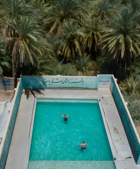

Deyg-e Rostam Hot Spring
Province South Khorasan
- Walking
- Swimming
A Mysterious Expanse in the North of the Lut Desert
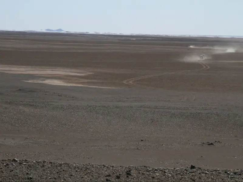
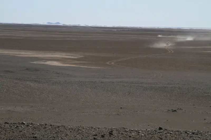
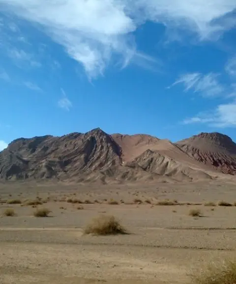
Dagh-e Gomestan is one of the largest dagh (clay flats) in the north of the Lut Desert and Kerman Province. It lies on the historic caravan route from Shahdad to Garmab, which travellers of old used to cross. The flat covers roughly 70 to 80 square kilometres and sits beside a gravel plain and the sandy areas of northern Lut. The name comes from the depression's sunken terrain and the lack of natural landmarks in the area: it is a smooth expanse with no distinctive features, so people can easily lose their way in it. The channel of a seasonal river that rises on Mount Jahli passes beside the flat and, in the rainy season, reaches the central basin of the Lut, where it sinks into the ground. These features give the area a distinctive natural and geological character. The deep silence, cracked ground and varied soil colours create an otherworldly landscape and offer a unique experience for geo-explorers and nature lovers.
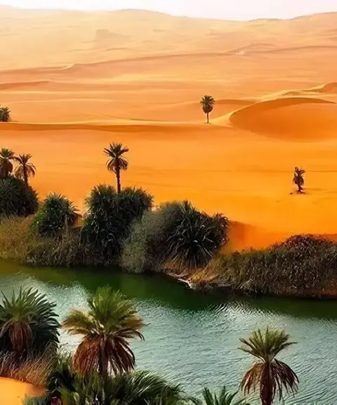
The surface of the flat consists of compacted, salty clay, which cracks in the hot seasons and forms beautiful geometric patterns. Sand dunes and golden sands surround the flat, taking on a coppery red tone in the light of sunset. The area has no significant vegetation, and the absolute silence and open horizon display the minimalist beauty of the desert. Some salt-tolerant plants, such as ashnan (saltwort) and tamarisk, grow along the edges of the flat. Limited wildlife is found around it, including wolves, jackals, foxes, chukar partridges, see-see partridges, quails, steppe eagles and reptiles such as agamas and desert monitor lizards. In some local sources Dagh-e Gomestan is also called Dagh-e Gomishan or Gom-Estan, and in the Kermani dialect the word "dagh" means hard, flat, cracked ground.
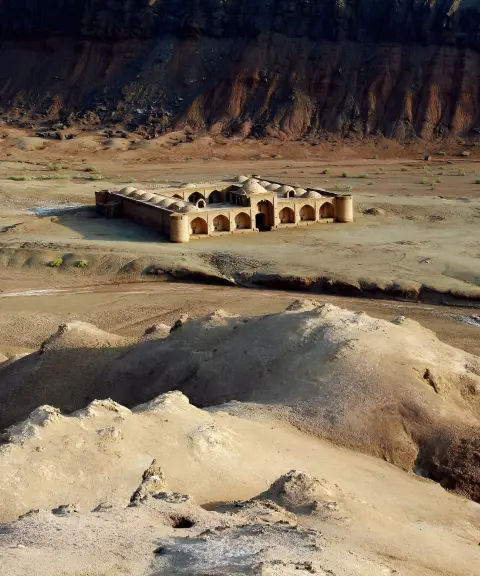
To reach Dagh-e Gomestan, start from Shahdad and follow the Shahdad–Nehbandan dirt road until you reach the western edge of the flat. Part of this route is the ancient road from Shahdad to South Khorasan, which crosses gravel and sandy plains. Because of the risk of getting lost and the changing condition of the ground surface, crossing the flat is only possible with a guide or GPS. The best time to visit is from autumn to early spring (Mehr to Farvardin), when temperatures are mild and the sky is clear, and the light at sunrise or sunset is especially good for photography. Summer is not recommended because of extreme heat above 50 degrees Celsius and the possible dangers. Visitors should carry enough water, a local guide and safety equipment, and should not enter the area in summer without a guide.
Written by ستایش عرب Last updated
What you can do here, and what it takes
مسیرهای اطراف دق برای پیادهروی کوتاه و عکاسی مناسب هستند.
Province South Khorasan
Province South Khorasan
Province Kerman
Province Kerman


Unfortunately, no comments have been registered.