
 Mountain
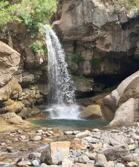
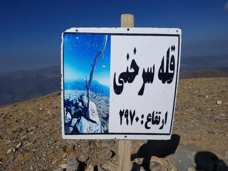
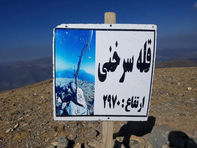
Sorkhani Peak
A scenic summit of the eastern Alborz in Savadkuh
- Mountain
- Mazandaran, Pol Sefid
- Altitude 2,970 m
- Ability level Intermediate
- Routes 1 recorded route
Ability level:
Intermediate
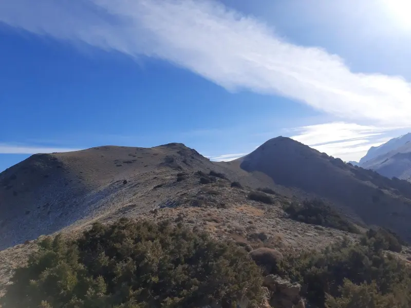
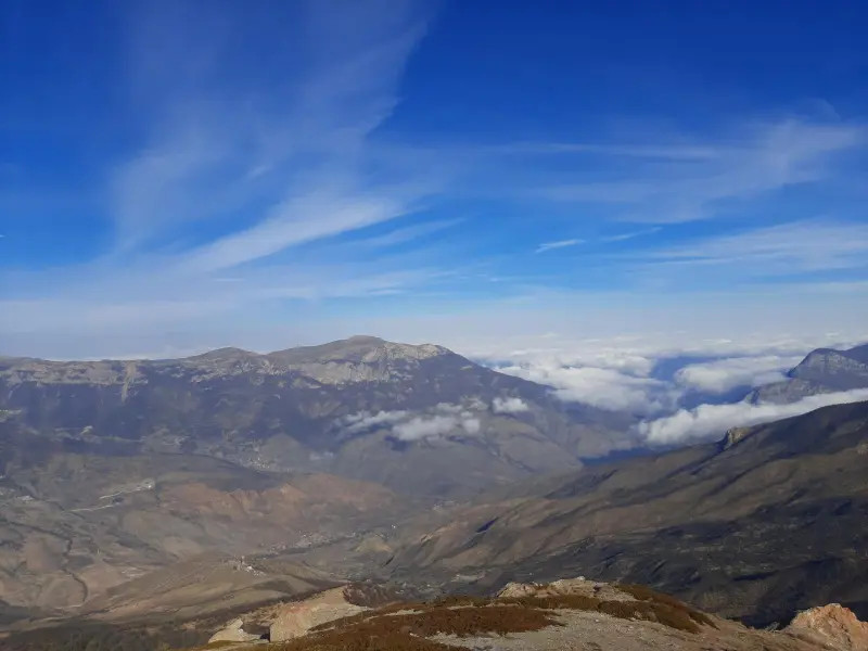
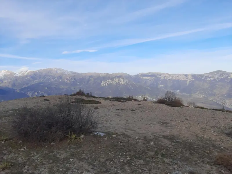
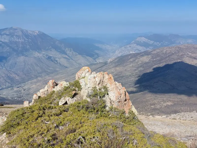
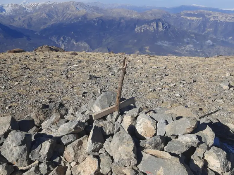
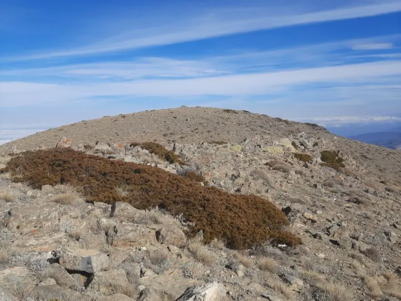
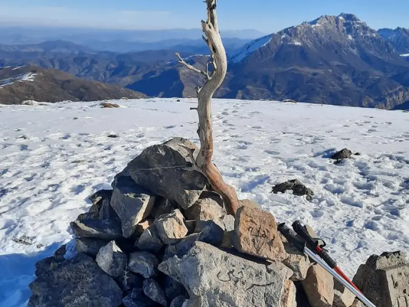
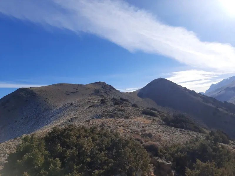
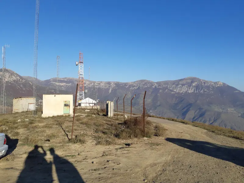
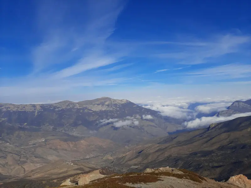
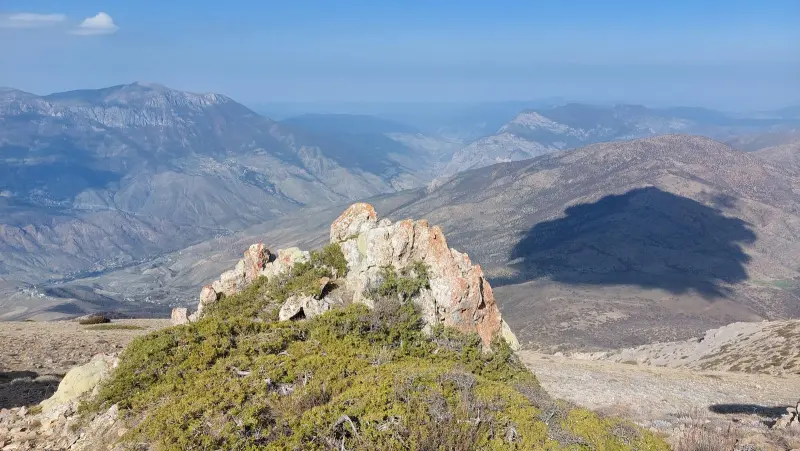
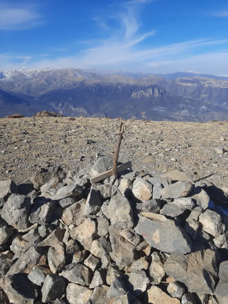
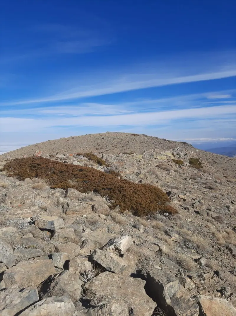
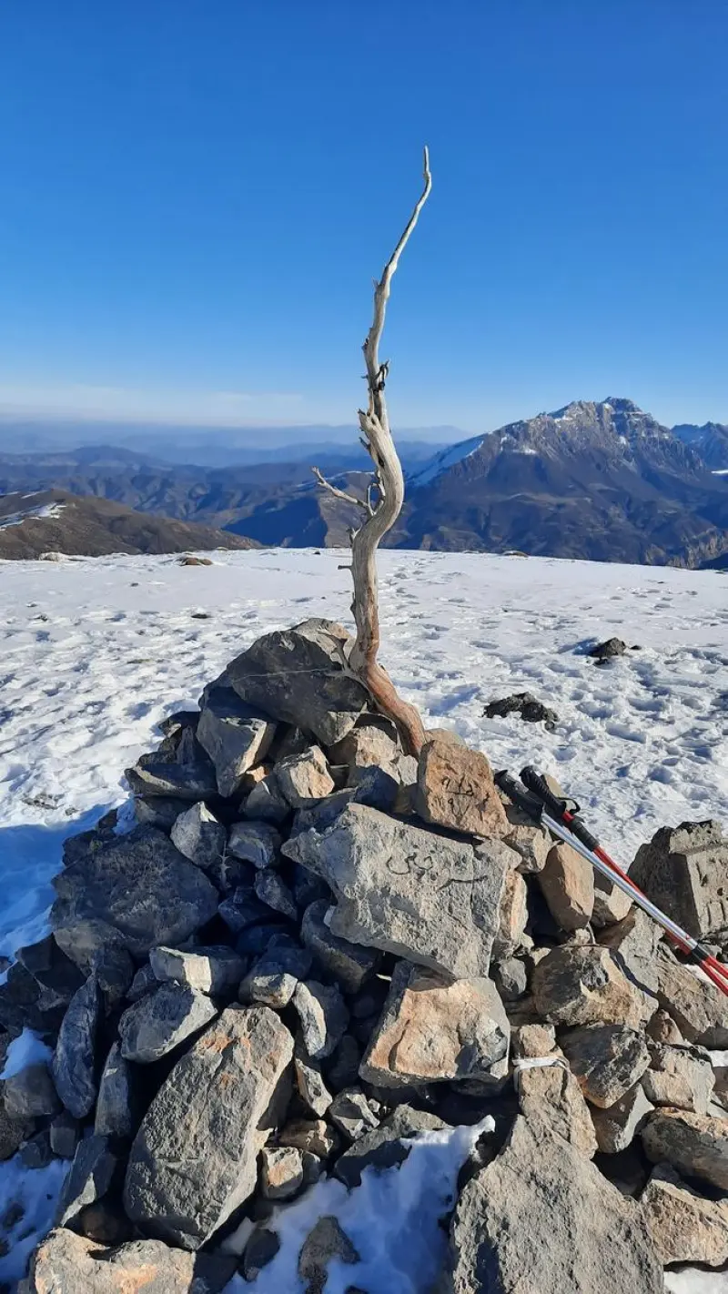
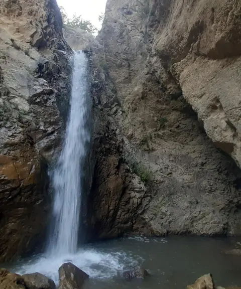
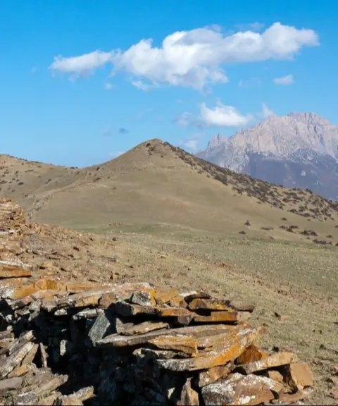
Sorkhani Peak is one of the prominent summits of the eastern Alborz range, located in Savadkuh County, Mazandaran Province. It lies in the Varasak area and is a popular mountaineering destination in northern Iran. The peak stands in Rastupey Rural District, among other Alborz summits such as Atabak, and its considerable height and sweeping views over plains, forests and neighbouring peaks make it especially appealing to nature lovers and climbers.
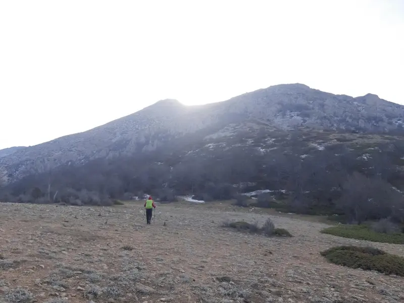
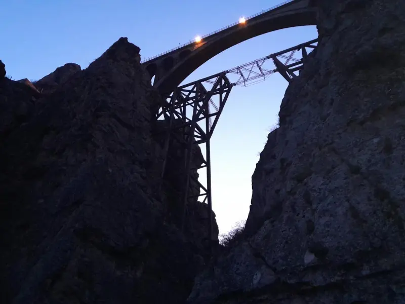
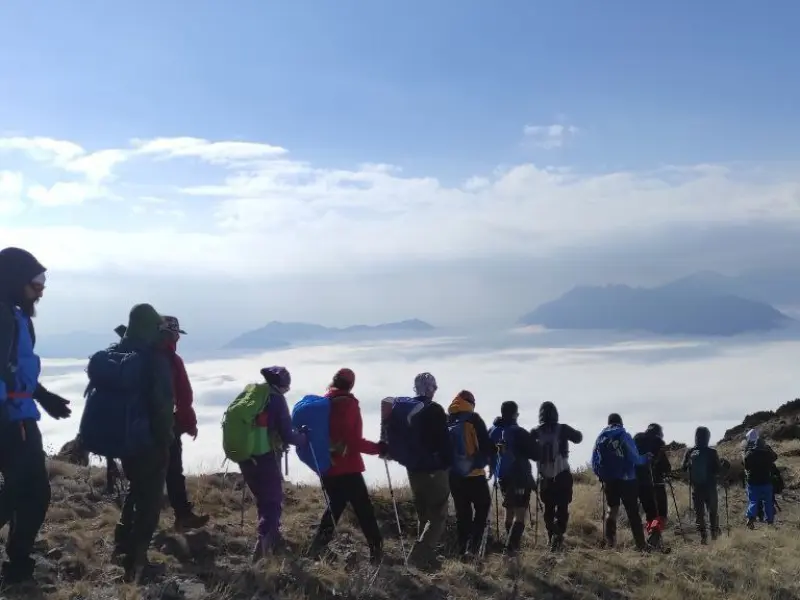
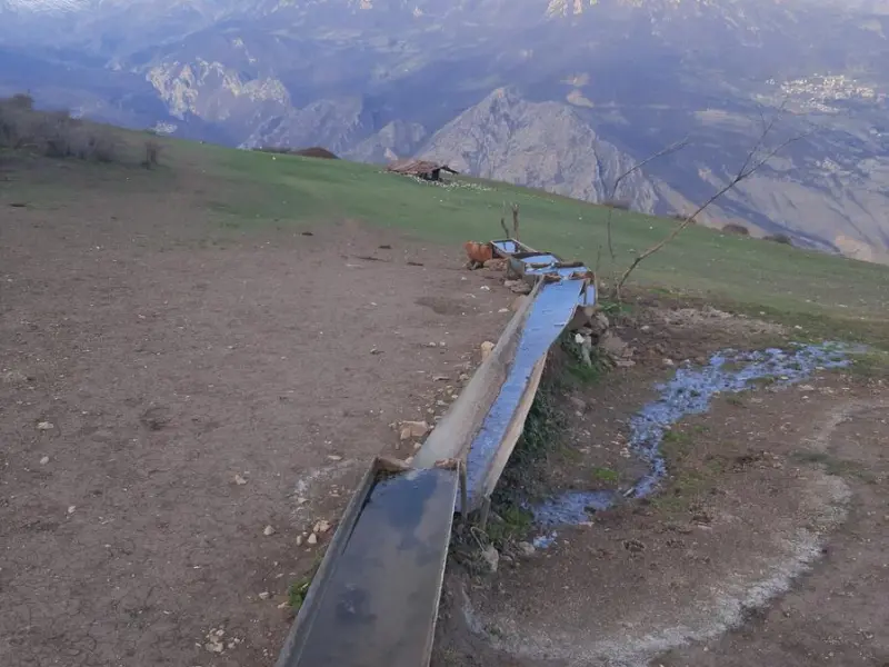
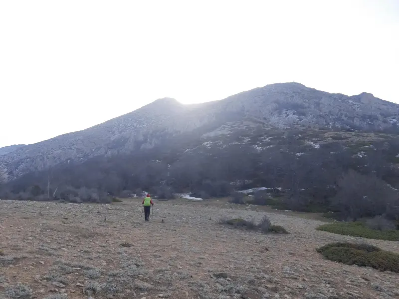
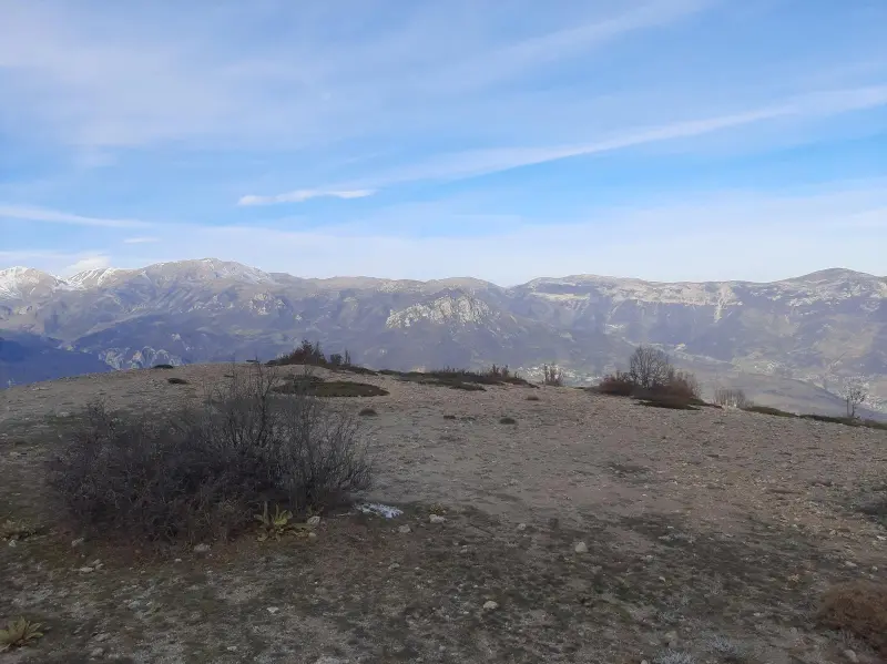
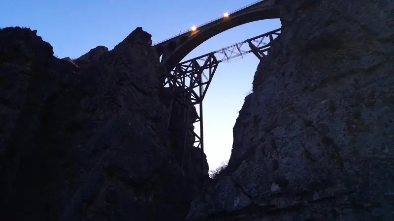
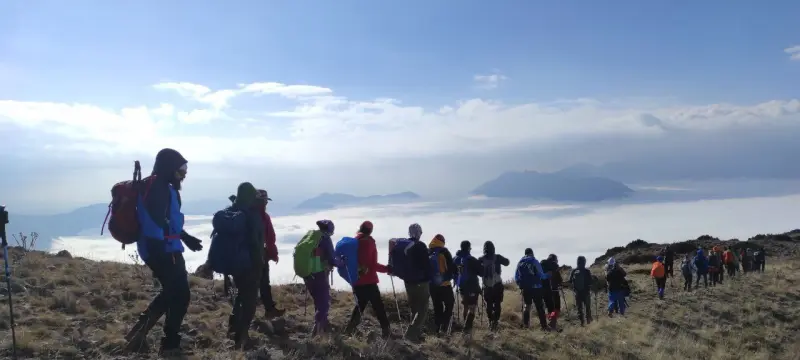
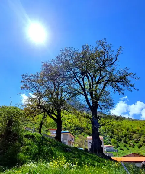
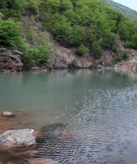
Sorkhani Peak is about 2,970 meters above sea level, and the routes to the summit pass through the Varasak Valley, Shurak Chal Village and the surrounding areas. The route includes sections of temperate Hyrcanian forest at lower elevations, after which climbers continue over rocky ridges and grassy slopes to the summit ridge. The trail runs through dense forests and lush pastures, offering views of the historic Varasak Bridge, the surrounding mountains and clouds drifting through the valleys. The trek takes about 9 hours on foot. It combines a diverse ecosystem with natural scenery, giving climbers a rich and rewarding experience.
To reach the peak, you usually take the Firuzkuh road toward the Varasak Bridge. Near the bridge, the entrance to the Shurak Chal Village route or other footpaths begins. The trek from the forest to the summit is usually a day trip for climbers of average fitness. The best time to climb and explore the area is from spring to early autumn, when the weather is more favourable and the vegetation and scenery are at their best. During your trip, practise responsible nature tourism: do not leave litter, respect the vegetation and the established trails, and be prepared for changes in the weather, so that you have a safe experience and this natural ecosystem is preserved.
Written by ستایش عرب Last updated
Activities
What you can do here, and what it takes
-
Mountaineering
صعود به قله سرخنی بهعنوان یک چالش یکروزه برای کوهنوردان با آمادگی متوسط مناسب است.
-
Walking
از جنگلهای پاییندست تا یالهای سنگی و چمنزار مسیرهای کوهپیمایی برای کوهنوردان با تجربه فراهم است.
Specifications
Introduction of the location and specifications of Sorkhani Peak
Location:
Mazandaran, Pol Sefid, Shurak Chal Village
Coordinates:
35.90622362, 53.03933142
Open in maps
Height above mean sea:
2970 meter
Faunas:
Presence of Predatory Animals, Presence of Allergenic Insects, Presence of Herbivorous Animals
Transports:
Private car, Walking, Minibus, Bus
Native Languages:
Tabari
Tourist Attractions in Pol Sefid
Attractions that are nearby


Veresk Bridge
Province Mazandaran
- Walking
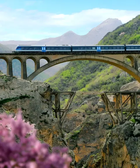
A Masterpiece of Engineering Suspended Over the Valleys of the Alborz

Abbasali Peak
Province Mazandaran
- Walking
- Mountaineering
A peak in the heart of the Savadkuh forests
Sangar Peak
Province Mazandaran
- Mountaineering
- Walking
A lush peak in the Savadkuh highlands of the Alborz

Related tags:
Unfortunately, no comments have been registered.