
 Mountain
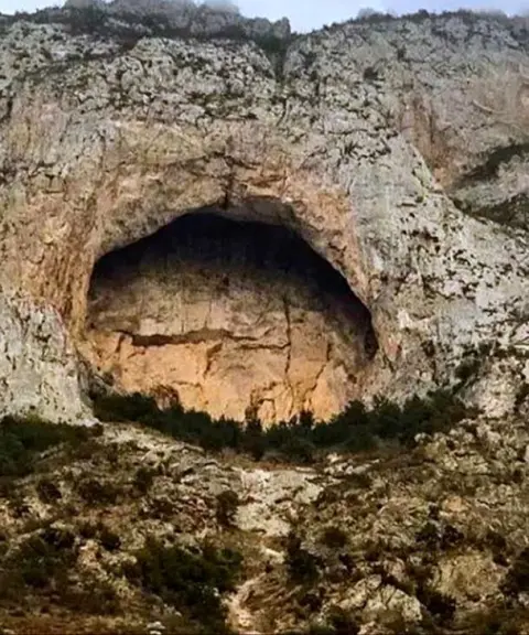
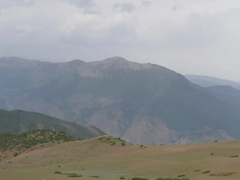
Abbasali Peak
A peak in the heart of the Savadkuh forests
- Mountain
- Mazandaran, Pol Sefid
- Altitude 2,310 m
- Ability level Intermediate
- Routes 1 recorded route
Ability level:
Intermediate
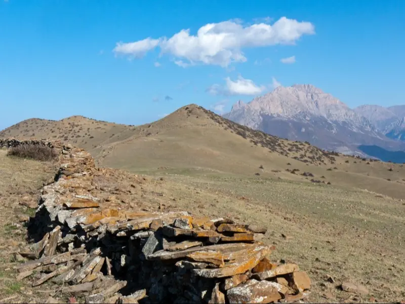
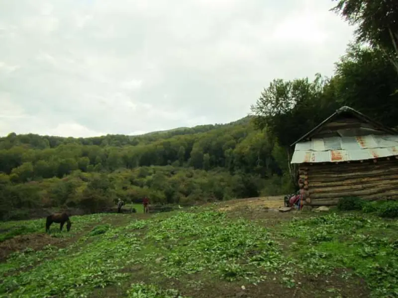
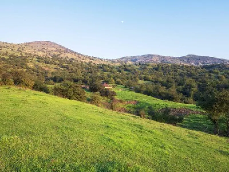
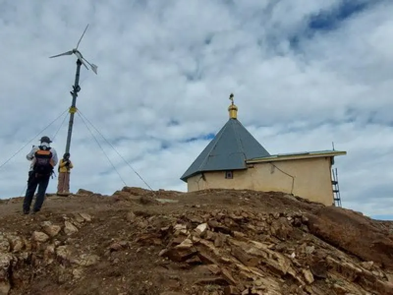
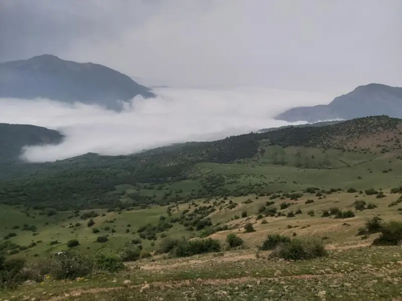
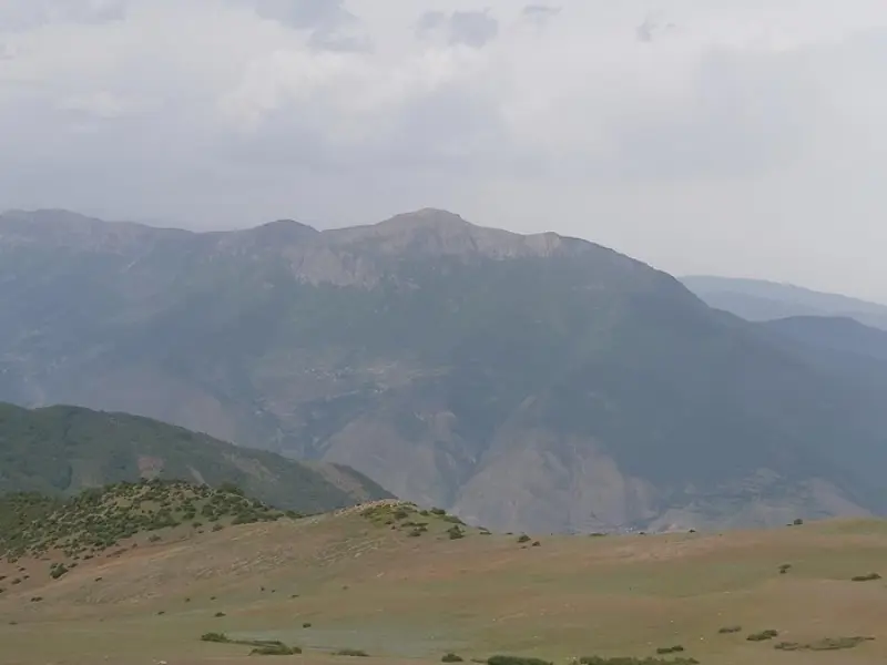
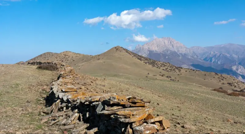
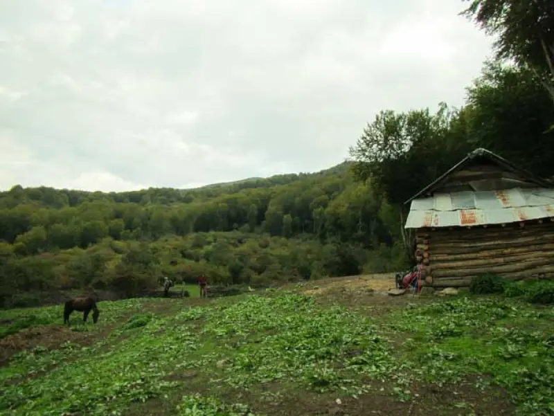
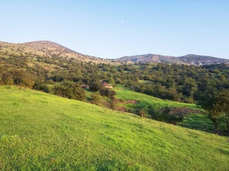
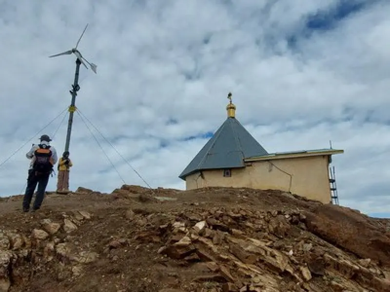
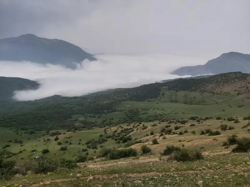
Imamzadeh Abbasali Peak, near the village of Komarpasht, lies in the Savadkuh region on the Firuzkuh road. Abbasali Peak is surrounded by Sarkhil Peak to the north, Khatir Kuh Valley to the northeast, Kharunrow Peak to the east, Nizeh Va Peak to the southeast, Qadamgah Peak to the south, Atabak Peak to the southwest and Arfa Peak to the northwest. The route to Imamzadeh Abbasali Peak starts from the village of Komarpasht, at an altitude of 1,560 meters above sea level. The Abbasali Peak trail runs through forest, and depending on the season, parts of it may be covered with snow. Even so, it is a relatively easy peak, and you will reach the summit after about 4 hours of climbing.
The vegetation of this area includes plants such as pennyroyal, thyme, golpar (Persian hogweed), medlar, barberry, plum and oak trees. The wildlife of the area includes animals such as wild boar, leopard, wildcat, rabbit, wolf, fox, eagle and venomous snakes. If you would like to camp in this area, the surroundings of Gavsara and the forest huts, as well as the Fak Chal plain, are good camping spots.
Abbasali Peak, also known as Lakamar Peak, is one of the most popular destinations for climbers and nature lovers thanks to its mild, cool climate. The peak is especially beautiful in spring and autumn, when the forest is at its fullest bloom. In these seasons you can enjoy the lush, colorful scenery of the forest and have an unforgettable experience.
Written by ستایش عرب Last updated
Activities
What you can do here, and what it takes
-
Walking
از کفش کوهنوردی استفاده کنید.
-
Mountaineering
این برنامه برای کوهنوردانی که از توان جسمانی کافی برخوردار هستند مناسب میباشد.
Specifications
Introduction of the location and specifications of Abbasali Peak
Location:
Mazandaran, Pol Sefid, Komarpasht Village
Coordinates:
35.96355763, 53.08660271
Open in maps
Height above mean sea:
2310 meter
Land Form:
Mountainous, Mountain
Floras:
Temperate Broadleaf and Mixed Forests, Temperate Grasslands
Faunas:
Presence of Predatory Animals, Presence of Herbivorous Animals
Transports:
Private car, Walking, Minibus, Bus
Tourist Attractions in Pol Sefid
Attractions that are nearby

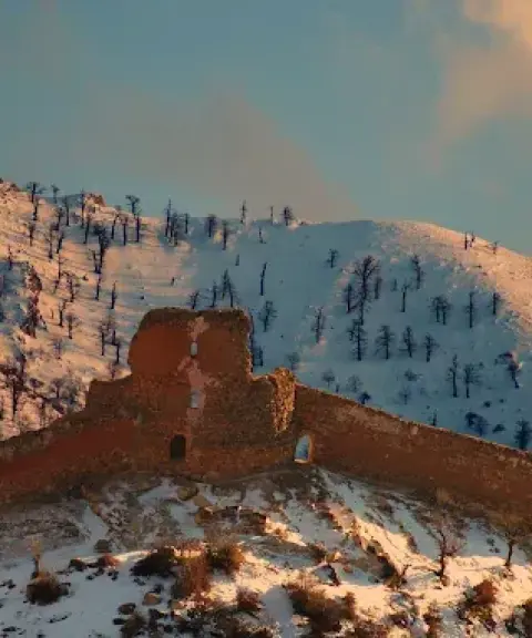

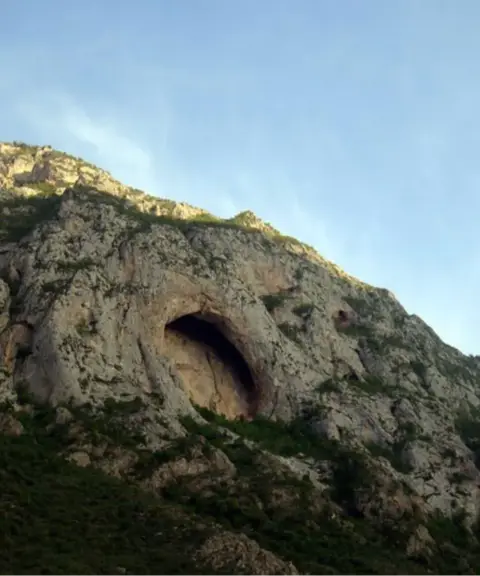
Kijak Chal Cave
Province Mazandaran
- Walking
- Caving
A natural masterpiece in the heart of the Savadkuh forests
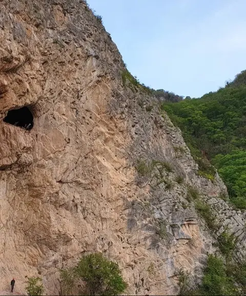
Kija Kerchal Cave
Province Mazandaran
- Walking
- Caving
A Natural Masterpiece in the Heart of the Mazandaran Mountains
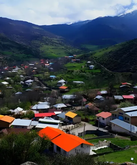

Barent Village
Province Mazandaran
- Walking
- Cycling
- Mountaineering
A pristine village in the heart of the mountain nature of Savadkuh
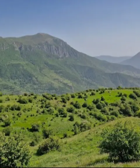

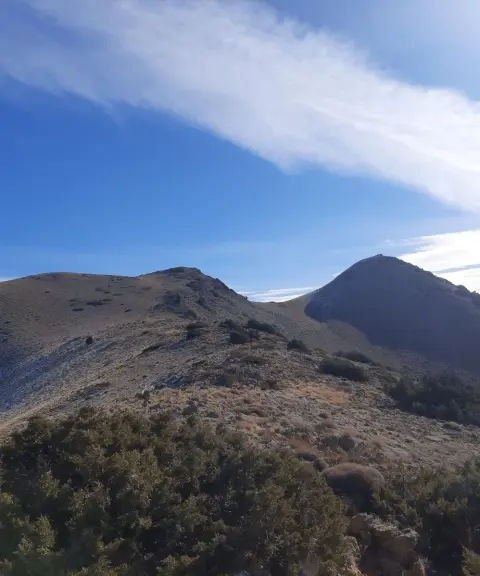
Sorkhani Peak
Province Mazandaran
- Mountaineering
- Walking
A scenic summit of the eastern Alborz in Savadkuh
Related tags:
Unfortunately, no comments have been registered.