
 Mountain
- Ability level Intermediate
- Routes 1 recorded route
Ability level:
Intermediate
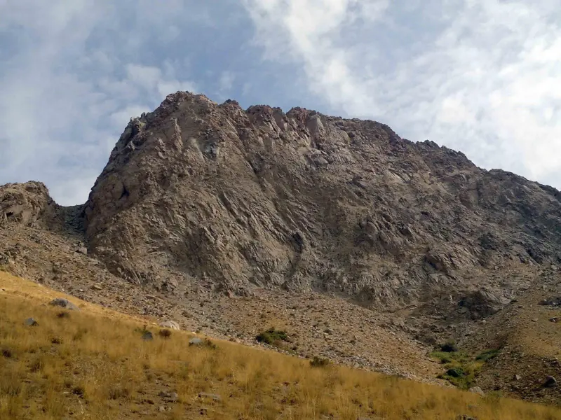
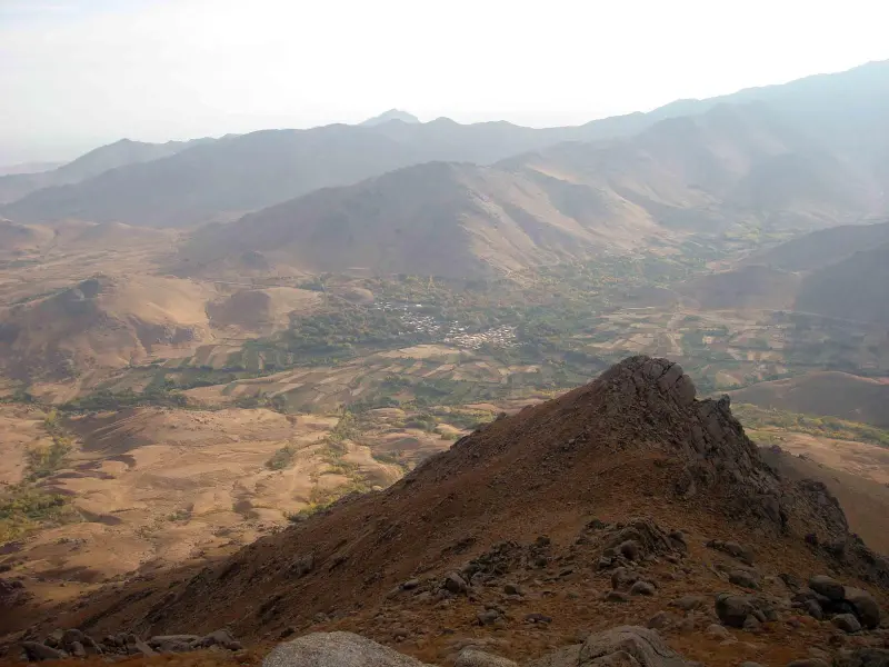
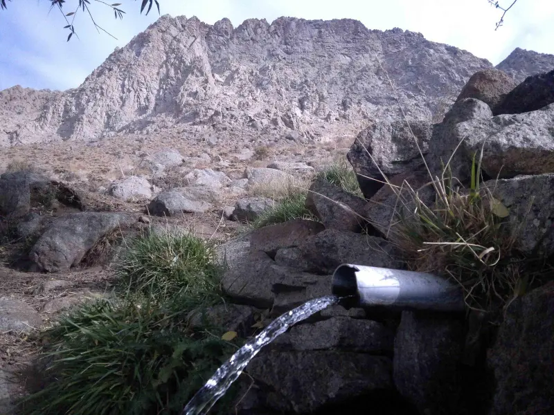
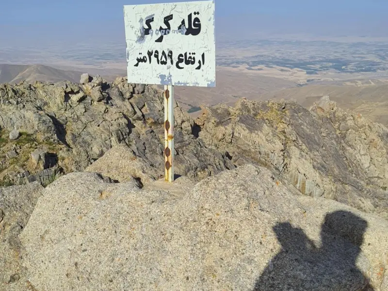
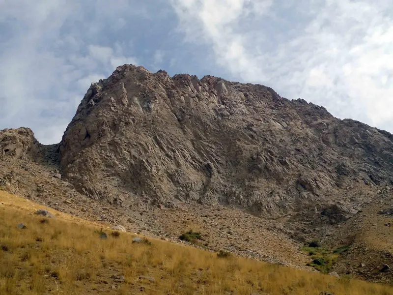
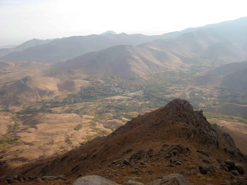
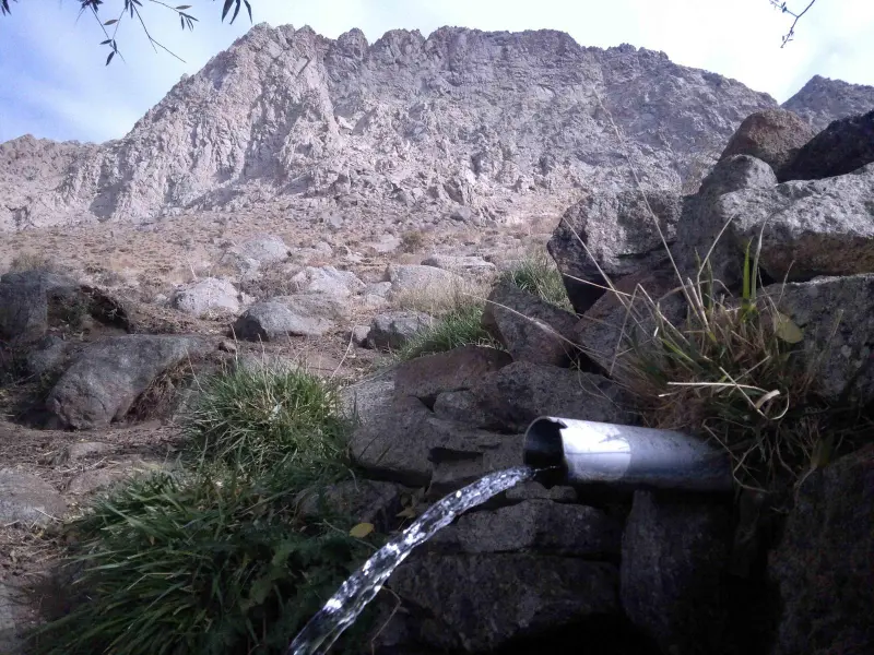
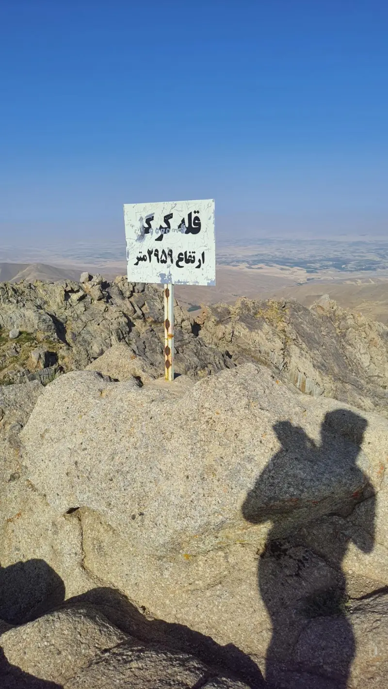
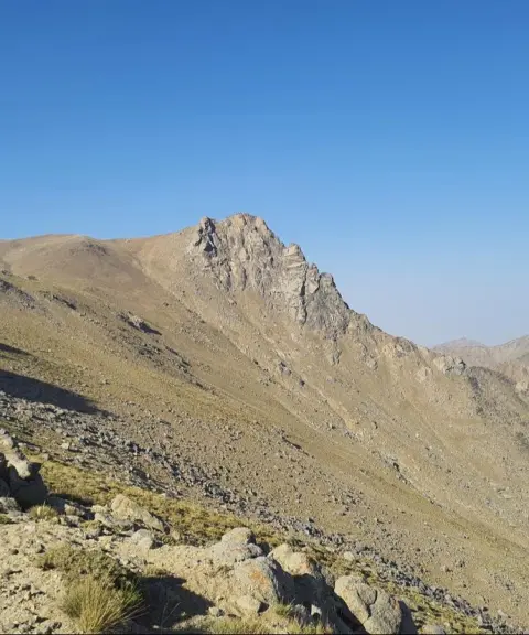
Kargasin Peak (also known as Korgez in some sources) is one of the peaks of the Alvand mountain range in Hamadan Province, standing alongside other summits such as Kalagh-Laneh, Ghezel Arsalan and Alvand. According to recorded climbing routes, the height of Kargasin Peak is about 2,959 meters above sea level. Visually, the peak can be seen in a panoramic view from the direction of the city of Hamadan, and it is considered one of the mid-level, accessible summits of the area.
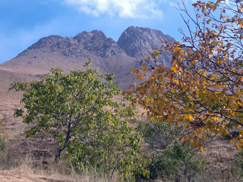
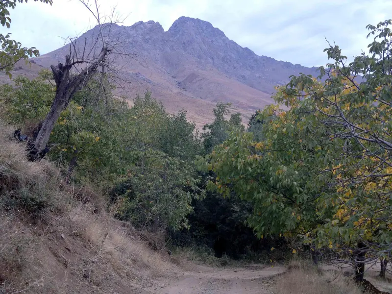
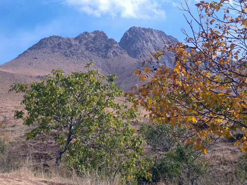
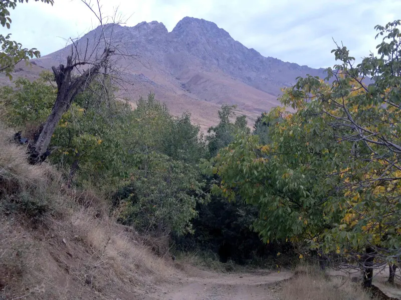
The vegetation on the slopes of this area consists of mountain pasture plants, shrublands and plants resistant to cold and wind, in keeping with the region's semi-arid mountain climate; at higher elevations the natural cover becomes sparser. This part of the Alvand mountains is home to mountain bird species and small animals, which add to the richness of the nature-tourism experience.
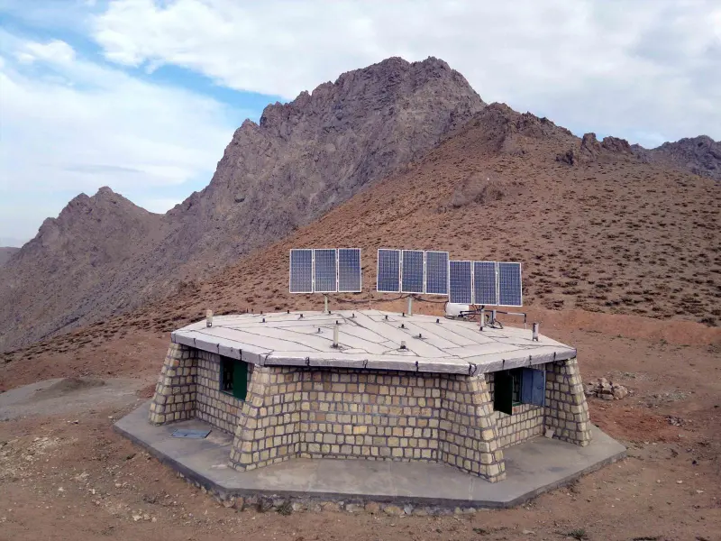
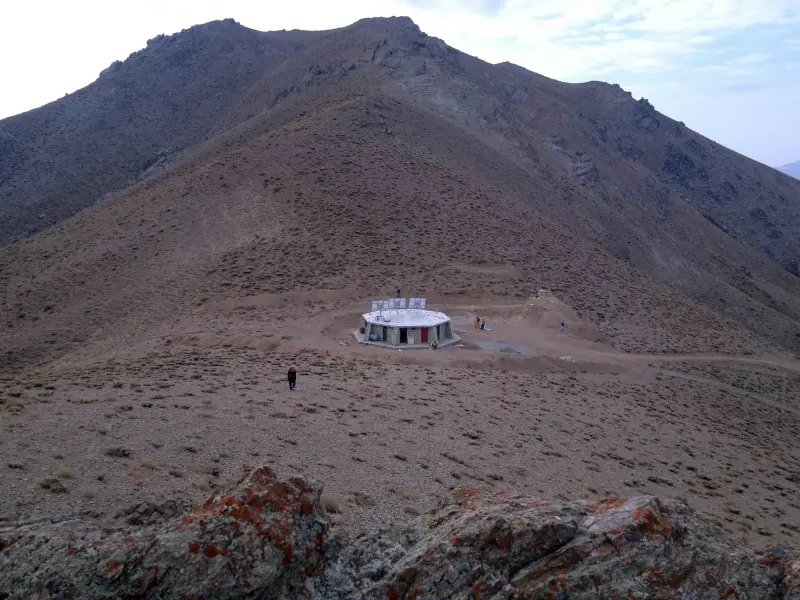
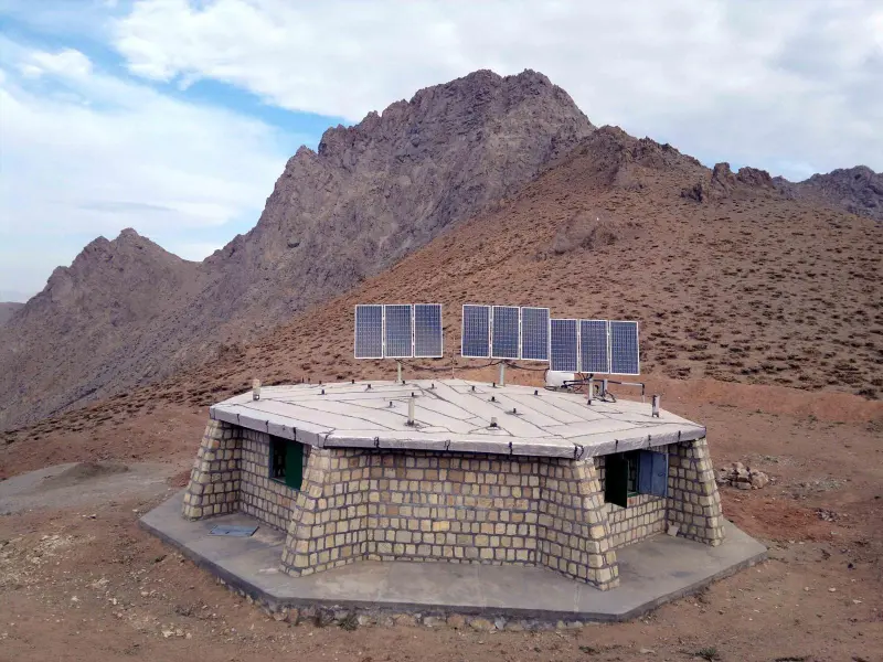
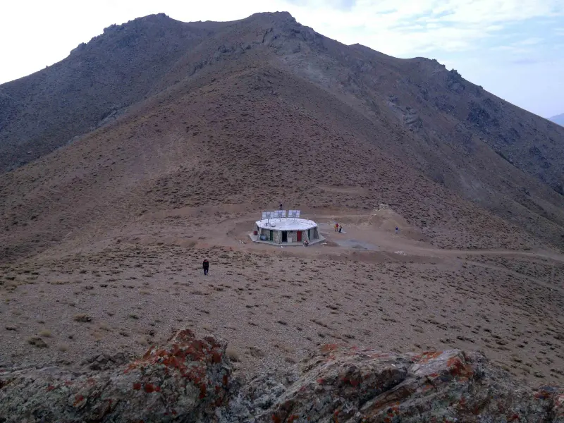
There are usually two common routes to reach Kargasin Peak: one from the village of Vahanan, about 34 kilometers along the Hamadan–Asadabad road, on the northern side of the mountain, and the other from the village of Ghasemabad on the eastern side. Both routes are of moderate difficulty, and along the way you will reach the Kargasin Shelter, which offers a suitable place to rest. The routes follow a beaten trail, and the full round trip can usually be completed in half a day to one day. Basic mountaineering gear such as suitable footwear, water and clothing appropriate for high altitudes is recommended.
Written by ستایش عرب Last updated
Activities
What you can do here, and what it takes
-
Mountaineering
مسیر پاکوب از روستای وهنان یا قاسمآباد تا قله مناسب پیمایش یک روزه و کوهنوردی تفریحی است.
Specifications
Introduction of the location and specifications of Kargasin Peak
Location:
Hamadan, Bahar
Coordinates:
34.78173414, 48.25590134
Open in maps
Height above mean sea:
2959 meter
Floras:
Semi-arid mountainous
Faunas:
Presence of Predatory Animals, Presence of Herbivorous Animals
Transports:
Private car, Walking, Minibus, Bus
Tourist Attractions in Bahar
Attractions that are nearby

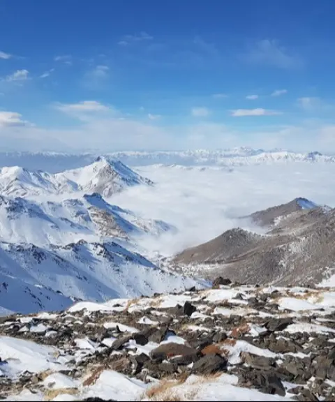
Daemboroof Peak (Permanent Snow Peak)
Province Hamadan
- Mountaineering
The cold heights of the Alvand mountain range in Hamadan

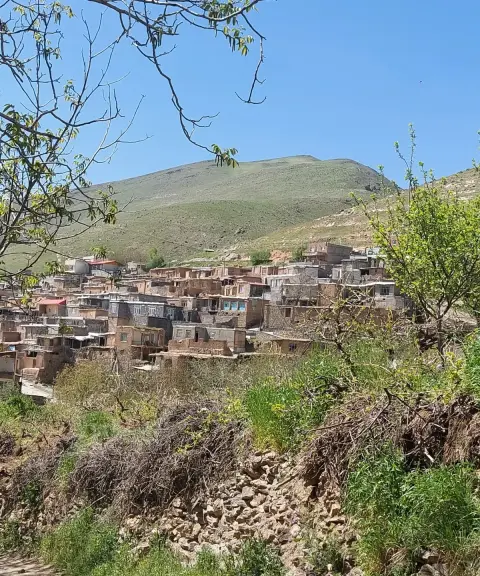
Malhamdareh Village
Province Hamadan
- Walking
- Mountaineering
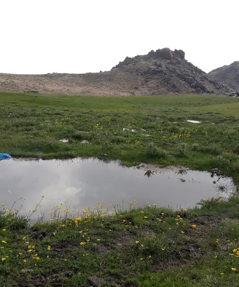
The Masuleh of western Iran, set among lush gardens and valleys
Alvand Mountain
Province Hamadan
- Walking
- Mountaineering
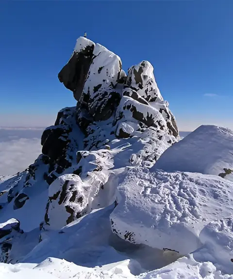
The historic rooftop of Hamadan and one of the most magnificent peaks of the Zagros

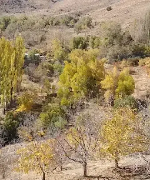

Kivarestan Valley
Province Hamadan
- Walking
- Canyoning
- Mountaineering
Unfortunately, no comments have been registered.