
 Mountain
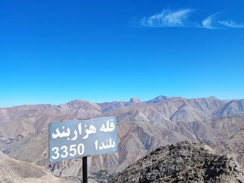
Hezarband Peak
A majestic rocky summit of the Western Alborz range
- Mountain
- Tehran, Tehran
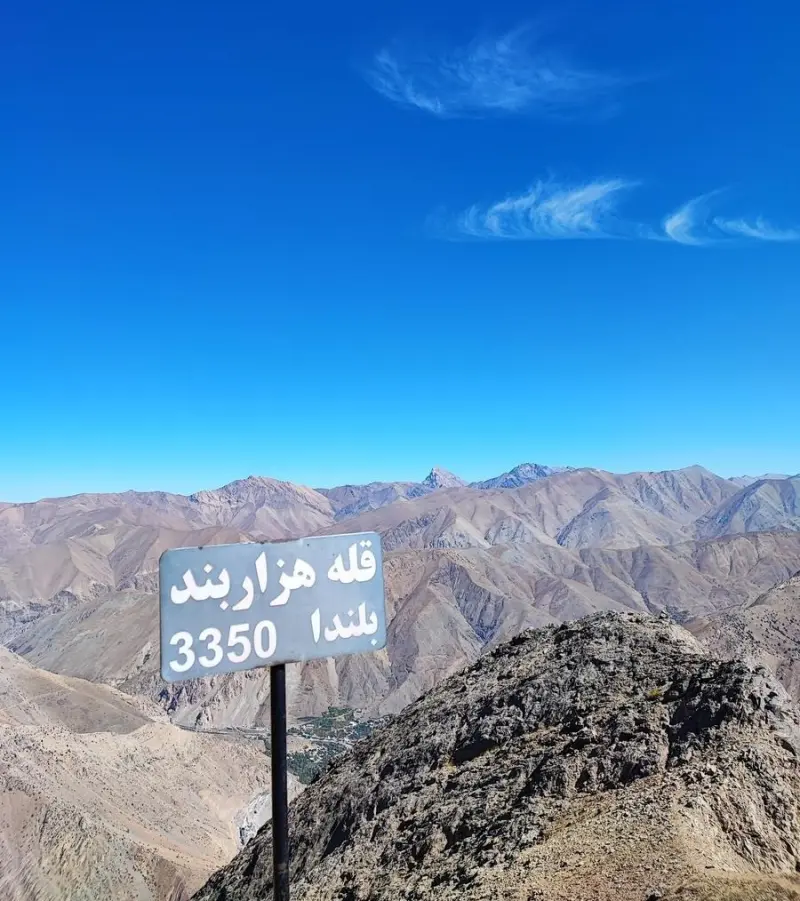
- Altitude 3,350 m
- Ability level Intermediate
- Routes 1 recorded route
Ability level:
Intermediate
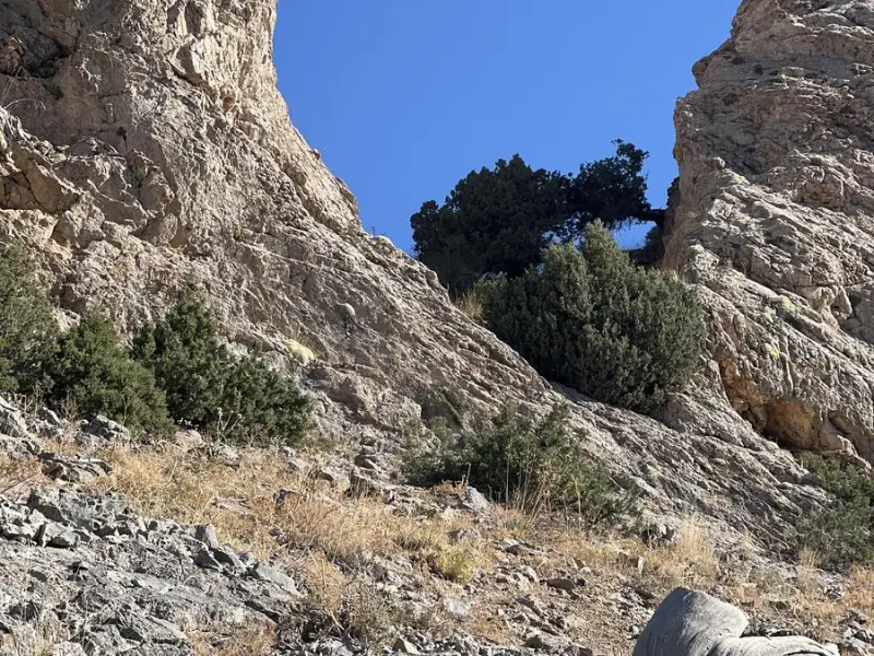
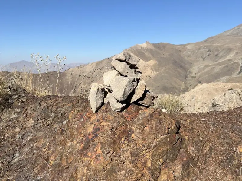
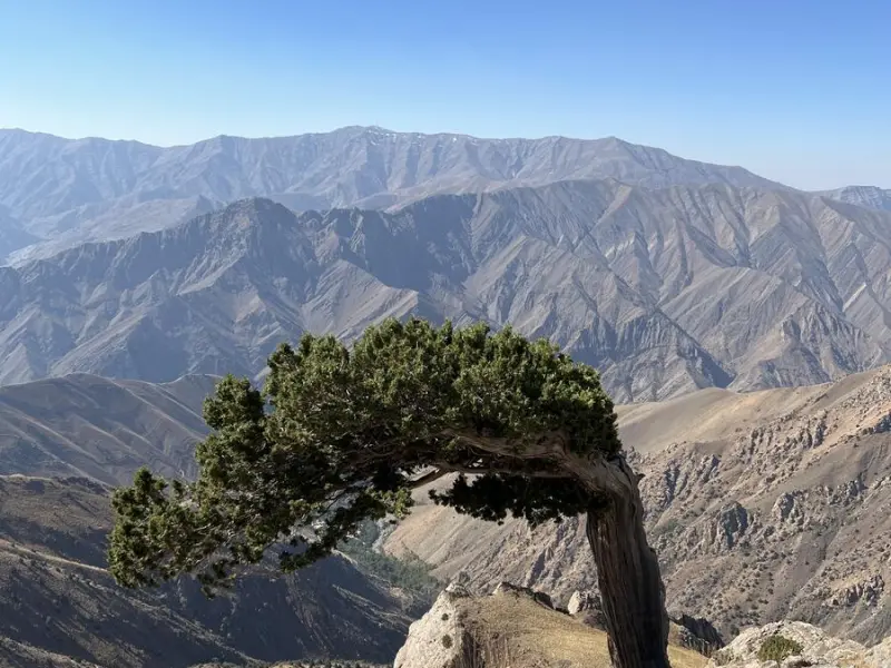
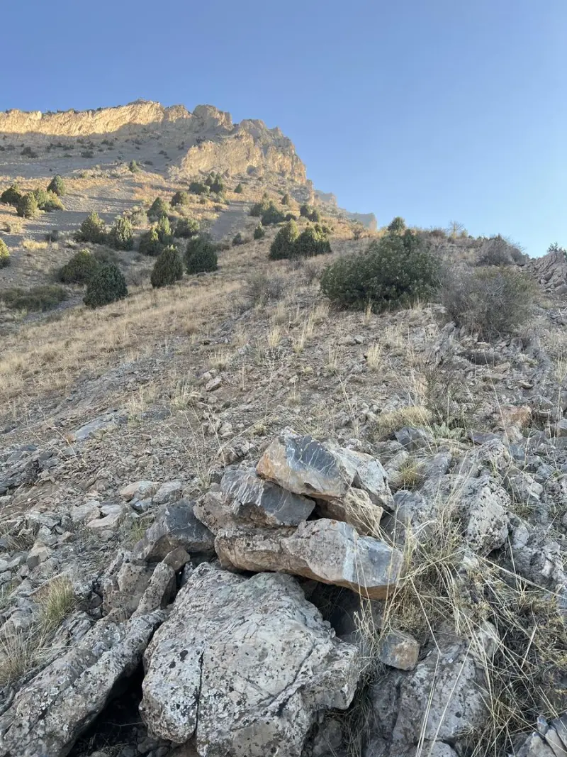
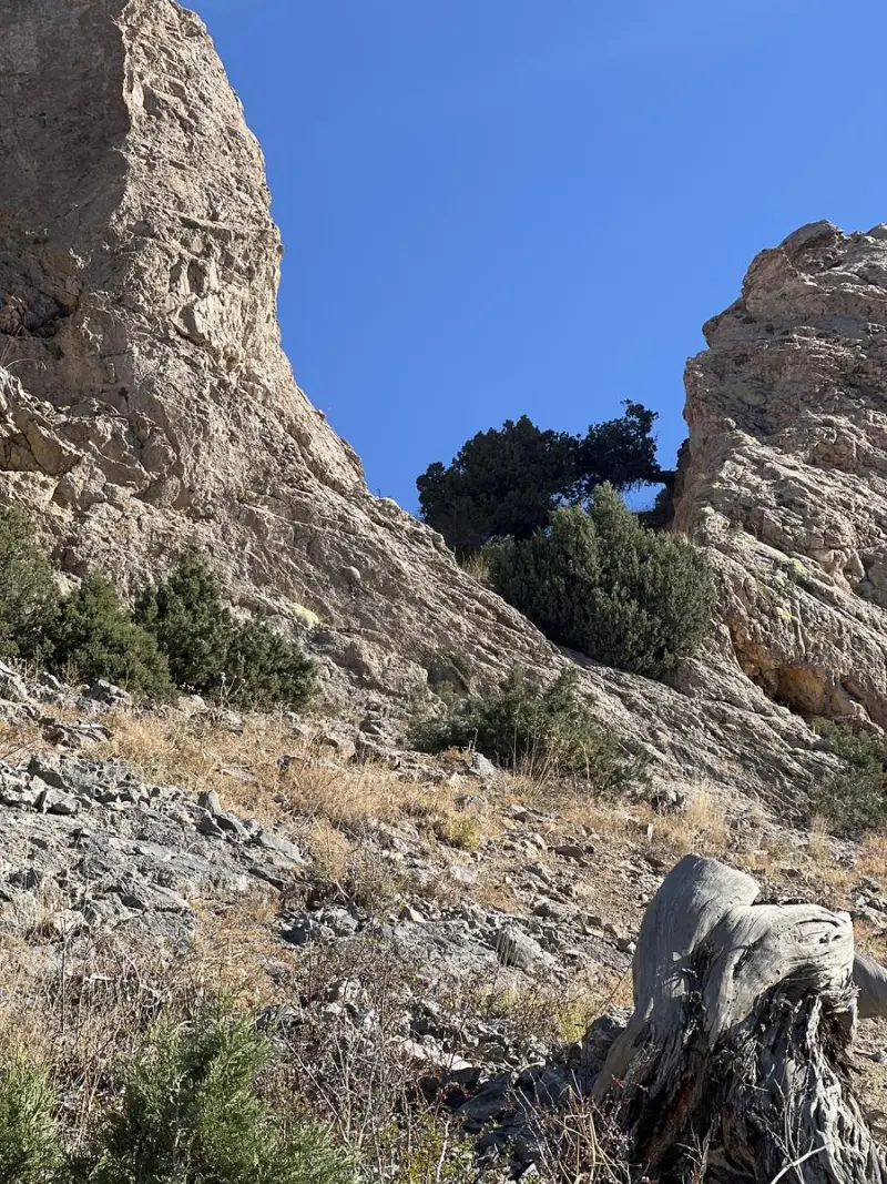
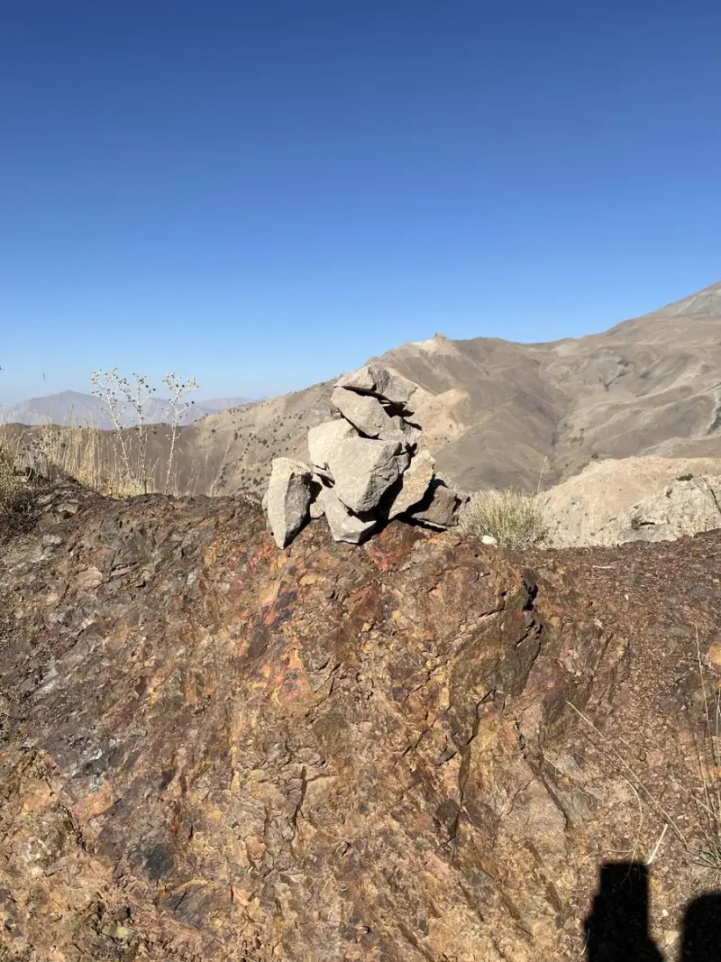
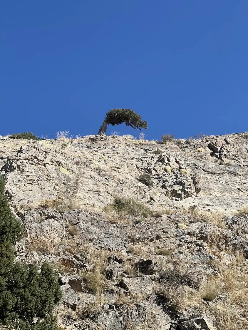
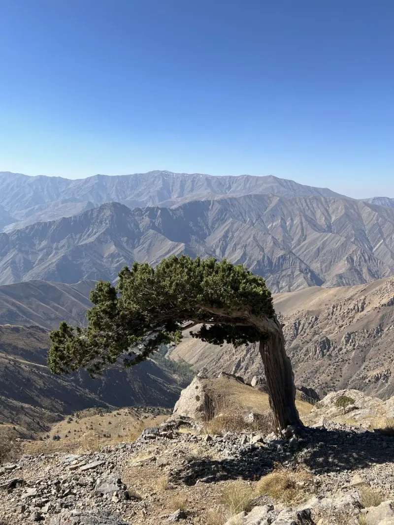
Hezarband Peak is one of the best-known summits in Tehran Province and the western Alborz, located southeast of the Karchan Heights. It is a popular mountaineering destination along the Chalus Road. Rising to approximately 3,350 meters above sea level, the peak offers wide views over the surrounding plains and highlands. It is called "Hezarband" (literally "a thousand bands") because of its rocky, craggy terrain: its complex stone structure recalls countless interlocking bands and gives these heights a distinctive grandeur.
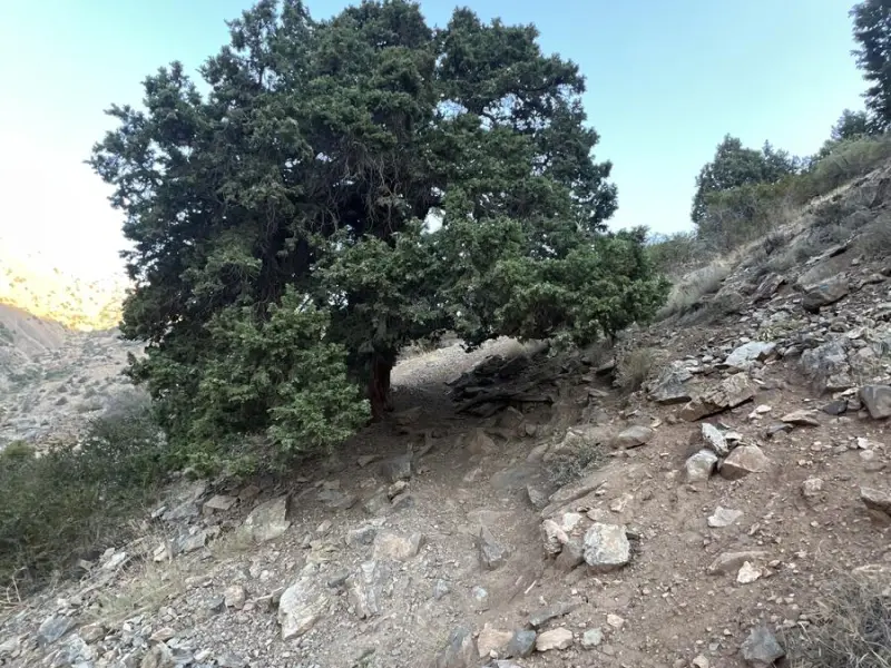
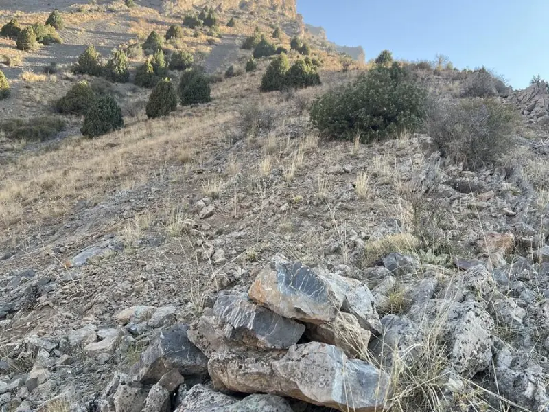
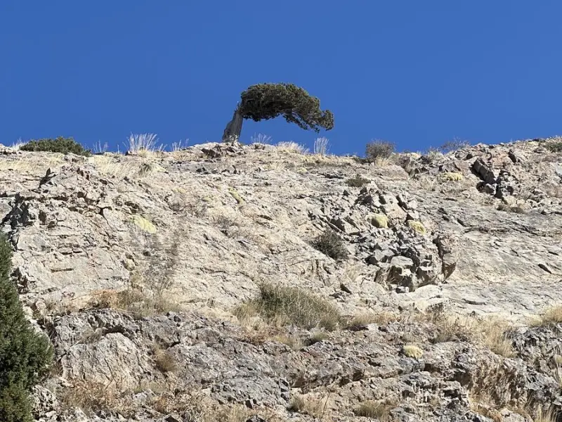
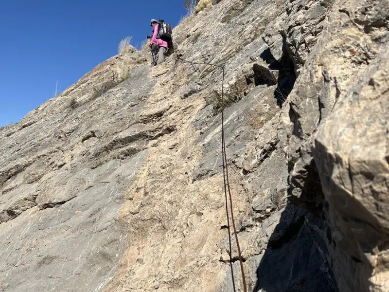
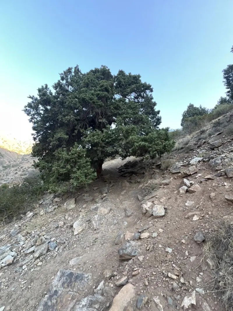
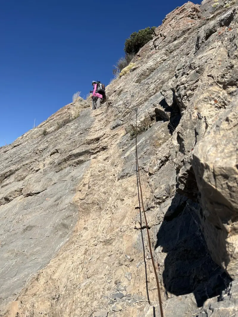
For hiking and nature tourism, Hezarband Peak has a variety of routes, each offering a different trekking experience. They include the ascent from Hasankdar village toward the southwest along the main ridge, the Kiasar and Karchan Pass route on the western face, and the northeast route, which can be more difficult in places. The slopes are a mix of dirt and loose gravel, so you need a good level of fitness and should pay attention to the trail markers. Vegetation along the route includes species such as gol-par (Hezarband-area wildflowers), nettle, thistle, milkvetch (gavan) and thyme, reflecting the dry to semi-dry nature of the Alborz highlands and offering unique opportunities for landscape photography.
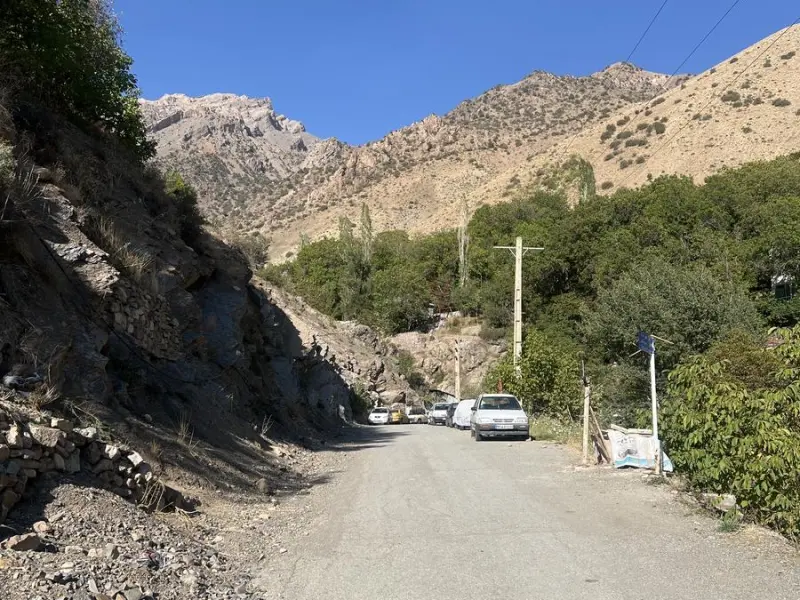
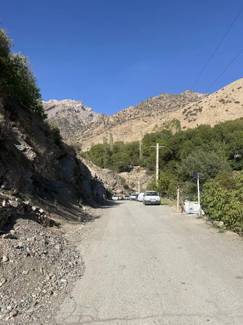
To reach Hezarband Peak, first get to the Chalus Road and then enter the mountain trail via Hasankdar village (or one of the other villages where the routes begin). The road up to the foot of the heights is passable by ordinary car; the rest of the way is on foot. The best time to visit is from spring to early autumn, when the weather is more favorable and the route is safer. Climbers should carry suitable equipment (hiking boots, enough water, food and appropriate clothing) and follow the principles of responsible mountaineering and nature tourism, to ensure their own safety while also protecting this valuable ecosystem.
Written by ستایش عرب Last updated
Activities
What you can do here, and what it takes
-
Mountaineering
پاکوبهای مشخص از روستای حسنکدر تا قله مناسب پیادهروی کوهستانی و کوهنوردی برای طبیعتگردان است.
Specifications
Introduction of the location and specifications of Hezarband Peak
Location:
Tehran, Tehran
Coordinates:
36.05395648, 51.28332138
Open in maps
Height above mean sea:
3350 meter
Floras:
Semi-arid mountainous
Faunas:
Presence of Predatory Animals, Presence of Herbivorous Animals
Transports:
Private car, Walking, Minibus, Bus
Tourist Attractions in Tehran
Attractions that are nearby


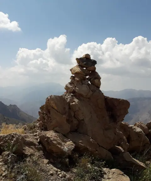
Karchan Peak
Province Alborz
- Mountaineering
- Walking
One of the high and scenic peaks of the Central Alborz
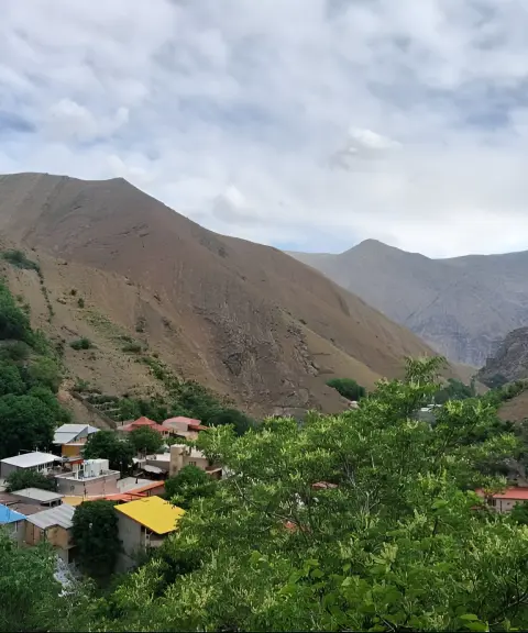
Sepahsalar Village
Province Alborz
- Walking
- Mountaineering
A river confluence, lush valleys and a mountain shrine on the Chalus Road
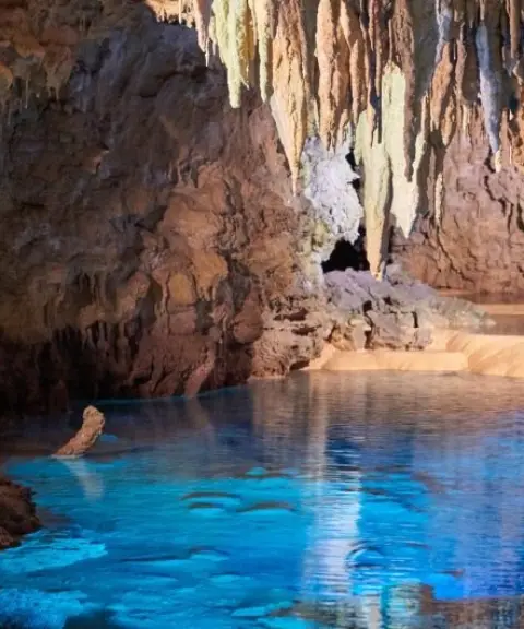
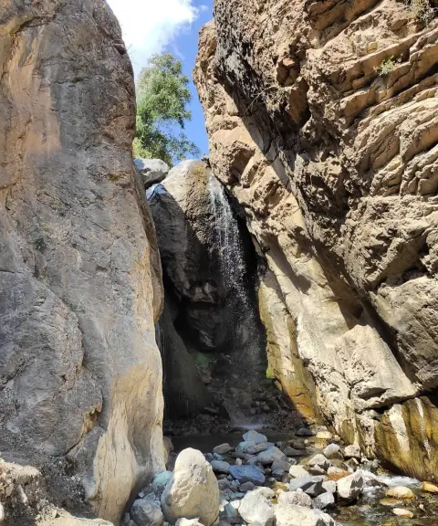

Sepahsalar Waterfall
Province Alborz
- Walking
- Swimming
- Mountaineering
A 20-metre waterfall in the heart of the lush valleys along the Chalus Road
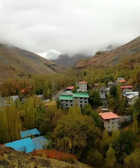
Gachsar Village
Province Alborz
- Walking
- Skiing
- Caving
- Mountaineering
A historic summer pasture village with year-round natural beauty on the Chalus Road
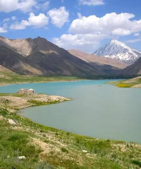

Gajereh Lake
Province Alborz
- Skiing
- Walking
- Mountaineering
Unfortunately, no comments have been registered.