
 Attractions
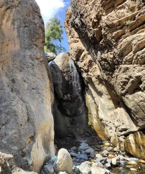

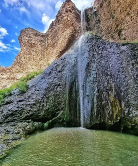
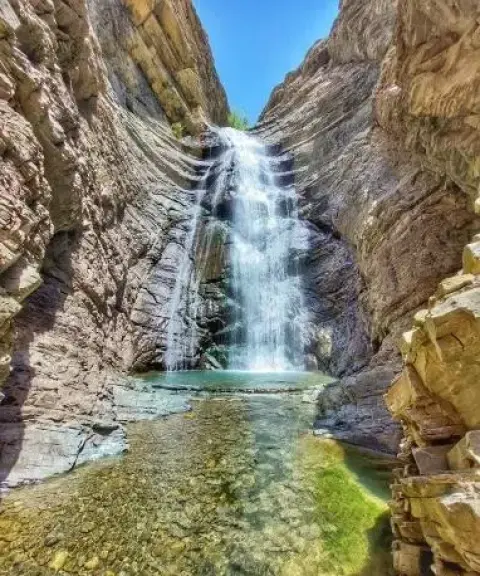
Sepahsalar Waterfall
Province Alborz
- Walking
- Swimming
- Mountaineering
A river confluence, lush valleys and a mountain shrine on the Chalus Road
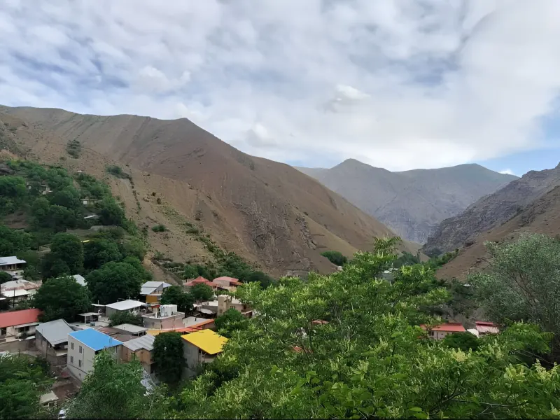
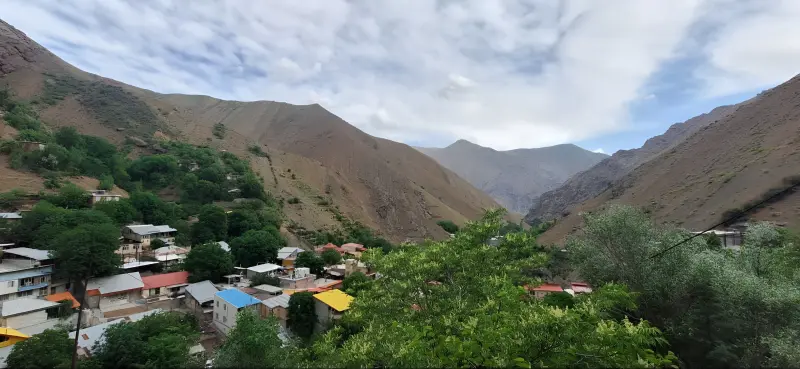
Sepahsalar Village (Takyeh Sepahsalar) is one of the scenic highland villages of Asara District in Karaj County, Alborz Province. It lies along the Chalus Road, about 15 kilometres from Karaj Dam. The village has grown up in the heart of the Central Alborz range, and thanks to its mountain location it enjoys a pleasant, cool climate and lush surroundings. The village is built on the mountainside beside a river, and its terraced houses set against rocky landscapes give it a distinctive charm.
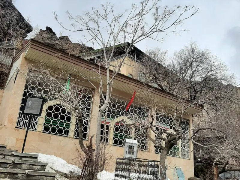
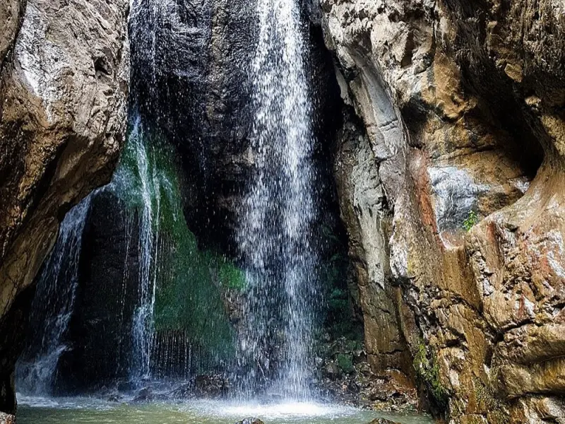
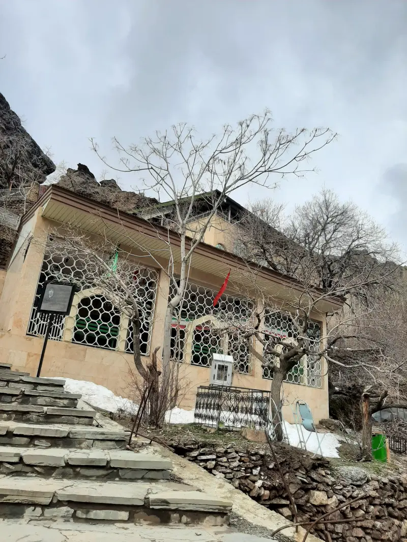
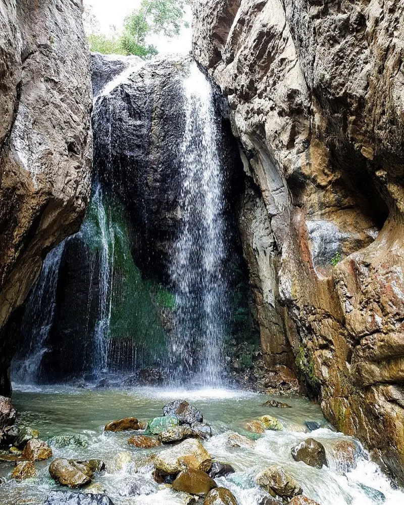
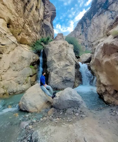
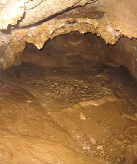
With its rare variety of natural and religious attractions, Sepahsalar is one of the most important tourist stops on the Chalus Road. The rushing river that flows through the village, the Sepahsalar Valley with its meadows and small orchards, and the roughly 20-metre-high Sepahsalar Waterfall are among the region's main natural attractions. In addition, the Imamzadeh Ebrahim Sepahsalar, set inside a natural cave, gives the village special religious and cultural significance. Together with the red-coloured cliffs and mountain trails, this complex creates an atmosphere that blends nature, history and spirituality, which is found in few other places along the Chalus Road.
Sepahsalar Village is reached via the Chalus Road, after passing through the Asara area, and a narrow side road leads visitors into the village. Visiting Sepahsalar Waterfall requires about one to one and a half hours of walking along the river and through the valley, so good physical fitness and attention to safety precautions are essential. The best time to visit the village is spring and summer, when nature is at its most beautiful and the river and waterfall are at their fullest. Practising responsible nature tourism, especially along the river and in the valley, is very important for protecting this valuable ecosystem.
Written by ستایش عرب Last updated
What you can do here, and what it takes
مسیر رودخانه و دره سپهسالار برای پیادهروی در دل طبیعت و عبور از باغها و چمنزارهای کوهستانی مناسب است.
مسیر دسترسی به امامزاده ابراهیم و آبشار سپهسالار شامل کوهپیمایی سبک تا متوسط در شیبهای طبیعی منطقه است.
Province Alborz
Province Alborz
Province Alborz
Province Alborz


Unfortunately, no comments have been registered.