
 Mountain
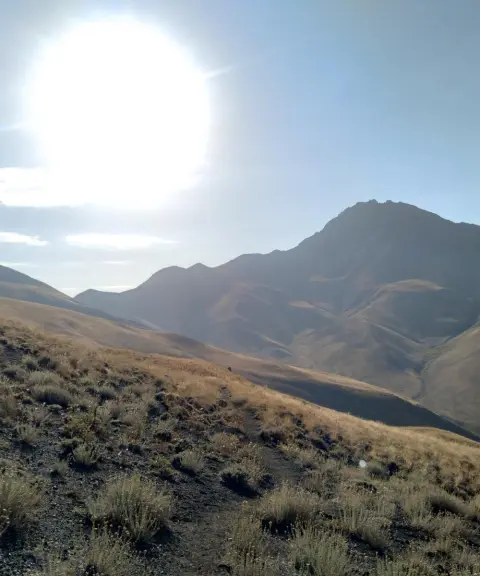
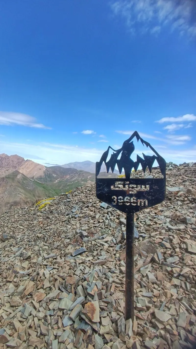
Sotak-e Bozorg Peak
A challenging summit of the Central Alborz
- Mountain
- Mazandaran, Nur
- Altitude 3,980 m
- Ability level Advanced
- Routes 1 recorded route
Ability level:
Advanced
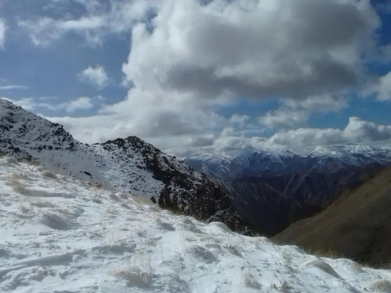
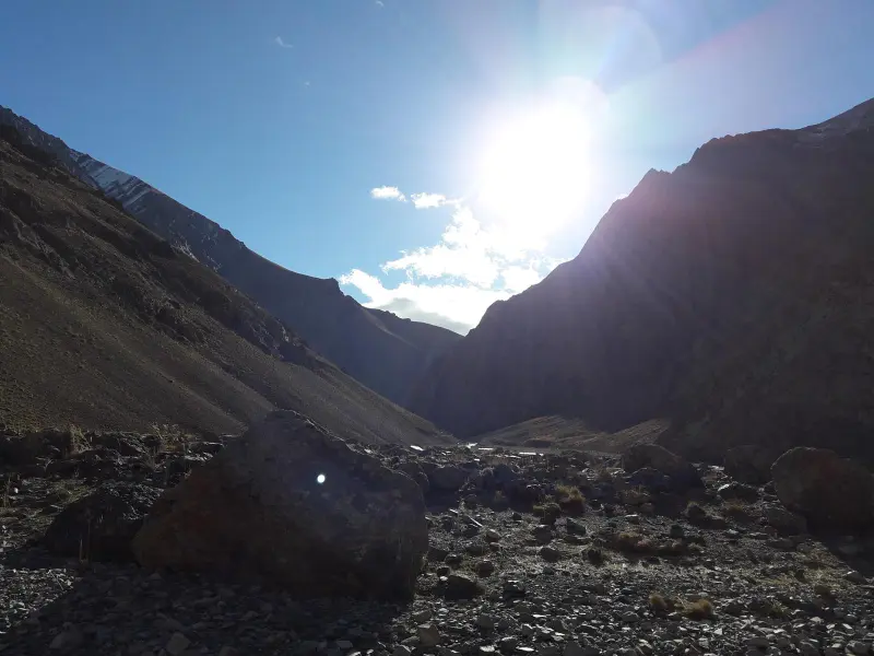
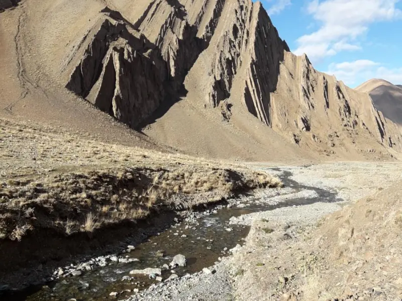
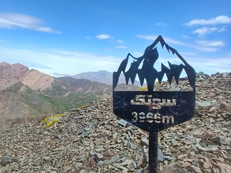
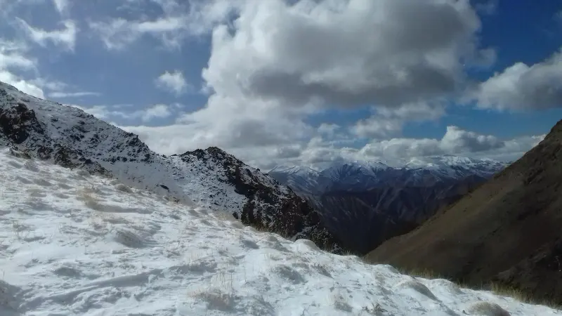
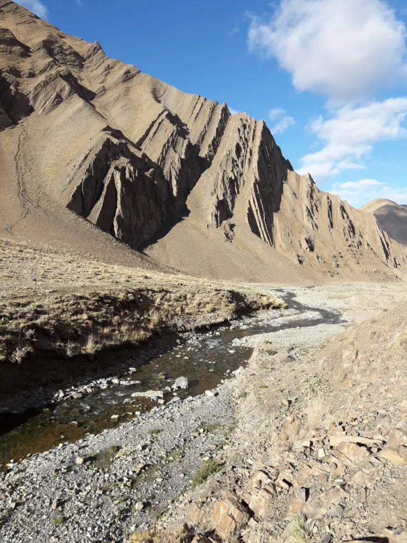
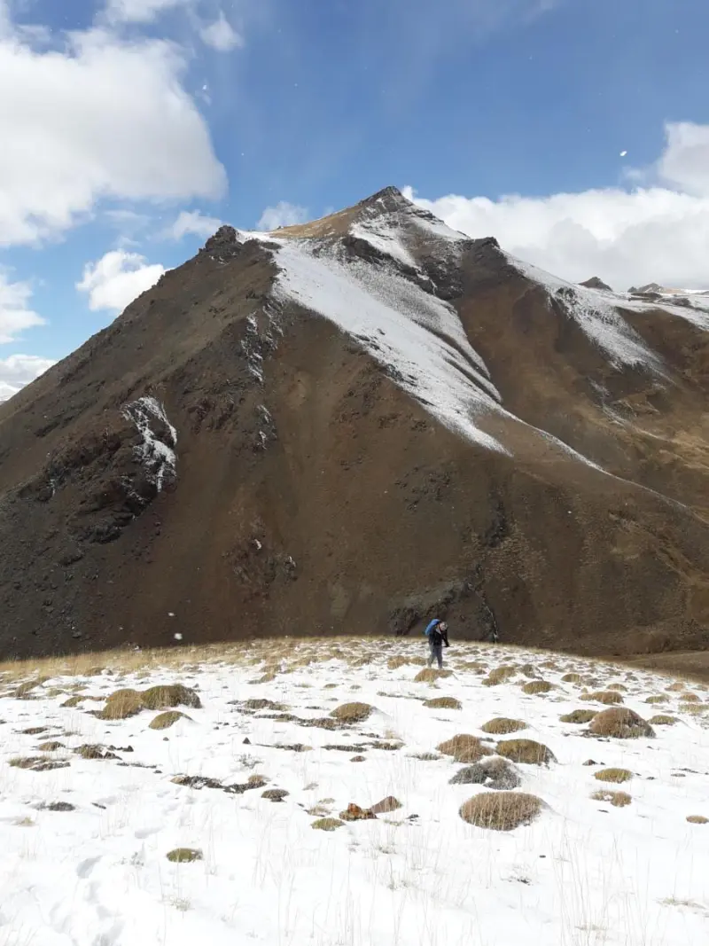
Sotak-e Bozorg Peak is one of the most prominent and highest summits in the Central Alborz Protected Area. It lies in Alborz Province, in the mountainous part of the Alborz range, and is a popular destination for mountaineering and nature tourism. The peak is located southwest of Azadkuh Peak and west of Kamankuh Peak, and east of the village of Varangeh Rud, where the high ridges of the Central Alborz form a landscape of pristine, rocky terrain. Its height is estimated at around 3,956 to 3,980 metres above sea level. It offers spectacular views of the surrounding peaks, the Sotak Plain and deep valleys, and in the right seasons it attracts experienced mountaineers.
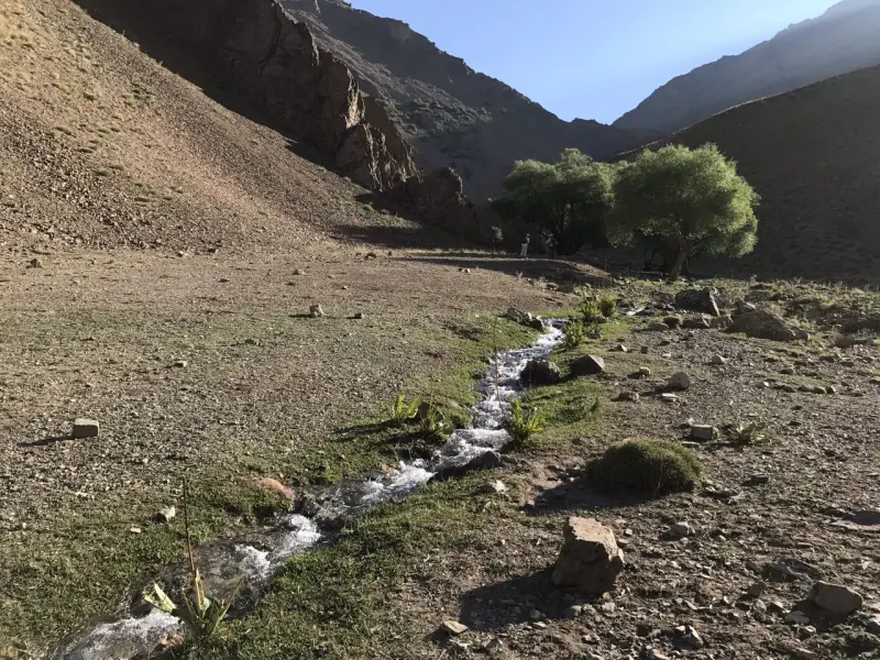
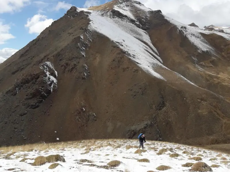
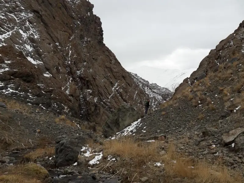
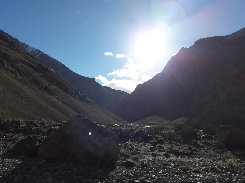
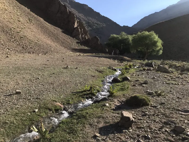
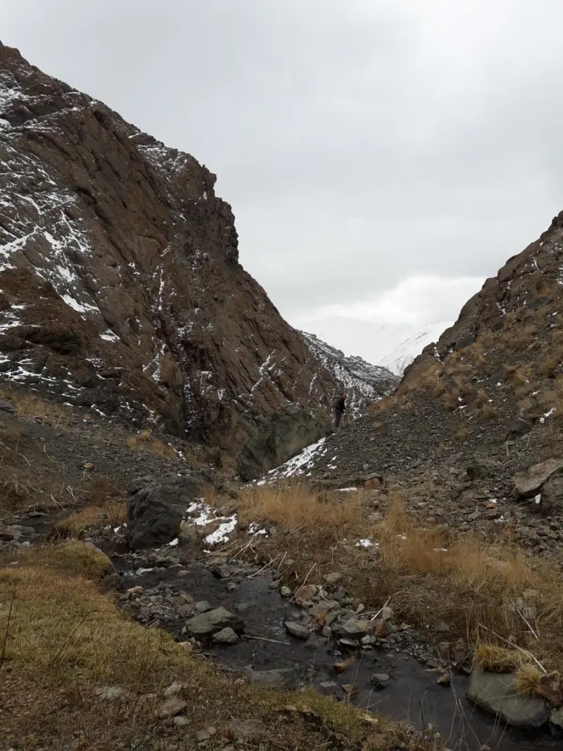
Routes up Sotak-e Bozorg Peak usually begin in the village of Varangeh Rud and pass through the Sotak Valley and the Sotak Plain. Because of steep slopes, rocky ridges and waterless sections, they call for strong mountaineering experience, good physical fitness and standard mountain equipment. Along the route there are springs at places such as Bidestan and above the Sotak Valley, but the higher sections have no permanent water sources, so climbers must carry enough water. The ridge views, seasonal glaciers and the variety of plant and animal life are distinctive features of the area, making this peak a challenging and appealing destination for mountaineering and mountain nature enthusiasts.
To reach Sotak-e Bozorg Peak, travellers usually take the Karaj–Chalus road towards the Varangeh Rud area, where the hiking trail begins. The best time to climb is from spring to late summer, when the weather is more favourable and winter frosts at high altitude are less of a problem. Even so, climbers should check the weather conditions and make sure their safety equipment is in order. Responsible nature tourism in this area means respecting the mountain environment, not leaving any litter, protecting natural water sources, and respecting wildlife and local culture, so that this natural heritage is preserved for future generations.
Written by ستایش عرب Last updated
Activities
What you can do here, and what it takes
-
Mountaineering
مسیرهای پاکوب و تیغههای سنگی قلهٔ سوتک بزرگ برای کوهنوردان حرفهای مناسب است و تجربهٔ چالشبرانگیزی از صعود در ارتفاعات البرز مرکزی فراهم میکند.
Specifications
Introduction of the location and specifications of Sotak-e Bozorg Peak
Location:
Mazandaran, Nur
Coordinates:
36.12796178, 51.45412456
Open in maps
Height above mean sea:
3980 meter
Floras:
Semi-arid mountainous
Faunas:
Presence of Predatory Animals, Presence of Herbivorous Animals
Transports:
Private car, Walking, Minibus, Bus
Tourist Attractions in Nur
Attractions that are nearby

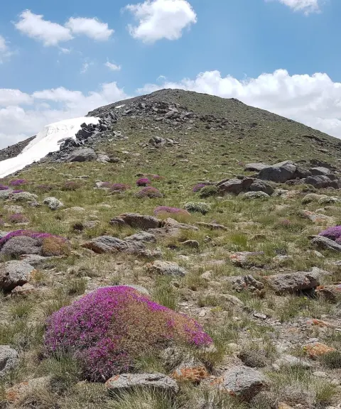
Sekkeno Peak
Province Alborz
- Mountaineering
- Walking
The Jewel of the Harzeh-Kuh Ridge in the Central Alborz
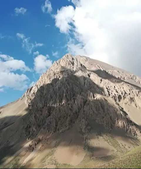
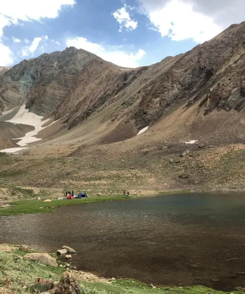
Khalno Lake
Province Tehran
- Walking
- Swimming
- Mountaineering
The Jewel of the Central Alborz Mountains
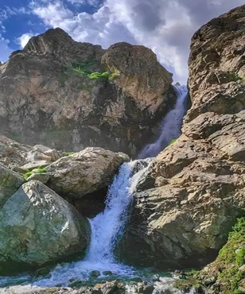

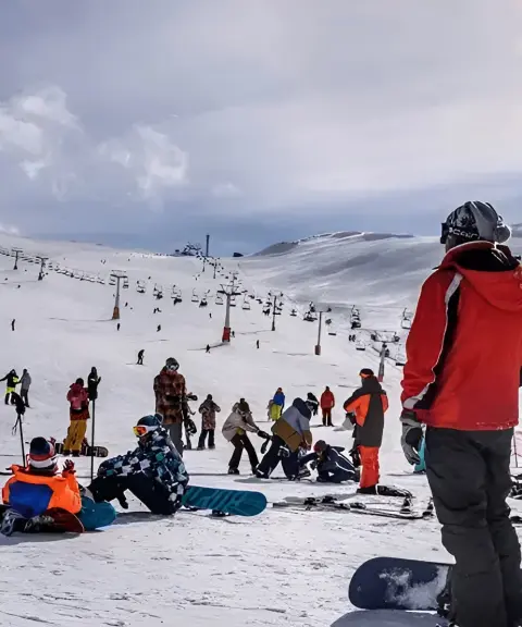

Dizin Ski Resort
Province Alborz
- Walking
- Skiing
- Cycling
- Paragliding
Iran's largest and most famous ski resort, in the heart of the Alborz mountain range
Unfortunately, no comments have been registered.