
 Mountain
- Ability level Advanced
- Routes 1 recorded route
Ability level:
Advanced
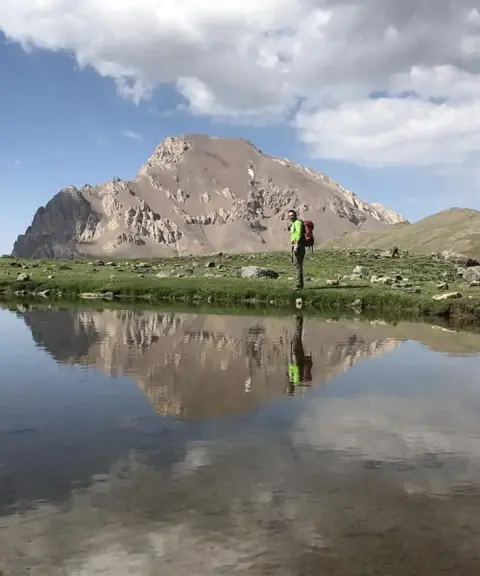
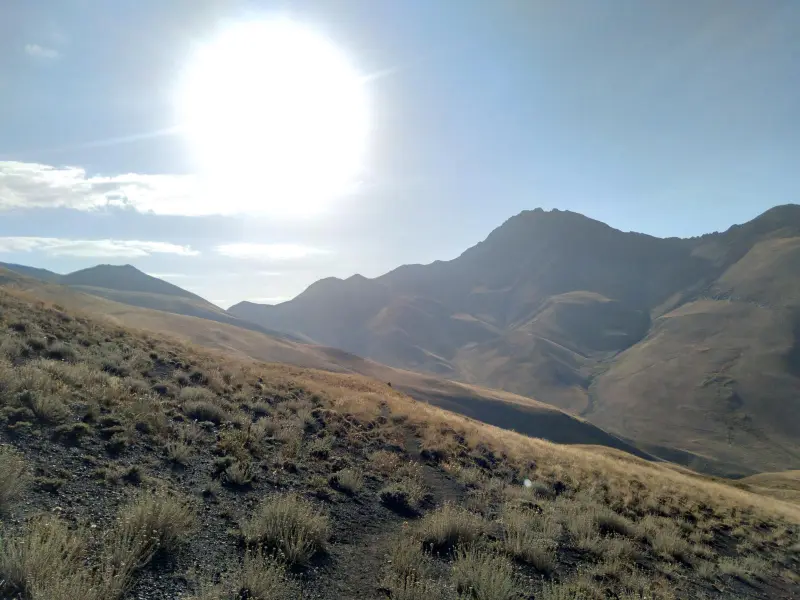
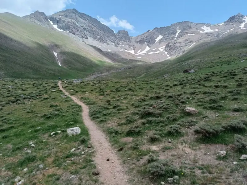
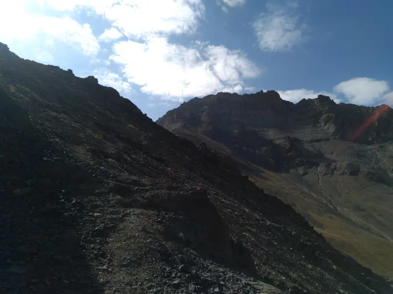
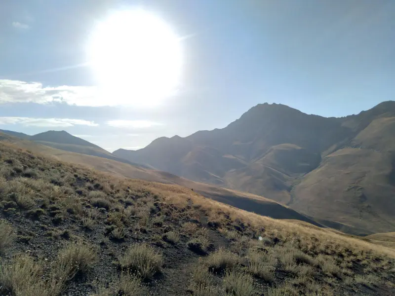
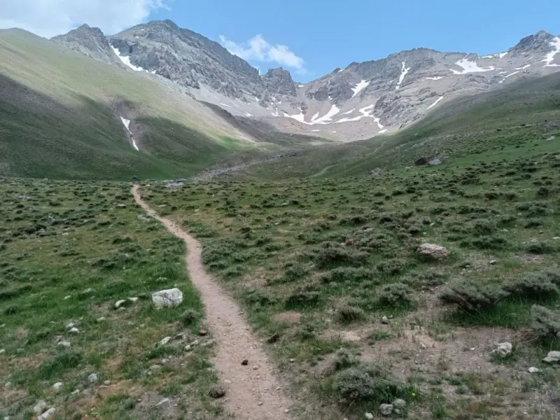
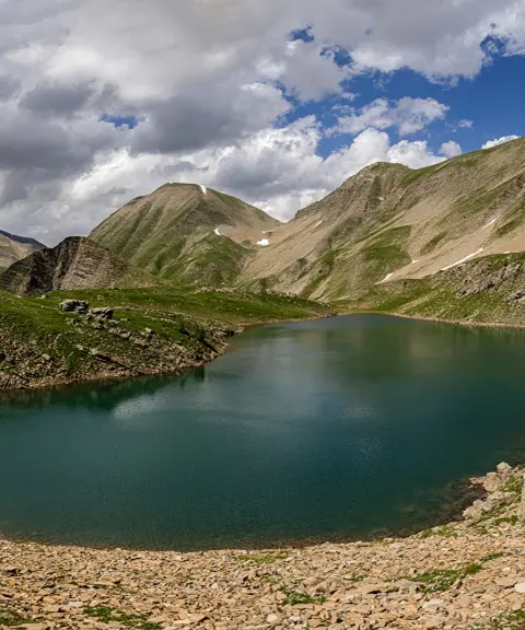
The ridge-line group of peaks, named Kamankuh (4,250 m), Sarmahu (4,165 m) and Yakhchal (4,194 m), lies in the Central Alborz region beside the Kamankuh Plain. The ridge begins in the west with the great Sutak of Kamankuh Peak and continues eastward to Sarmahu, Yakhchal and Kahnu peaks, in that order. From Yakhchal Peak two different routes lead onward: one to the southeast, to Narges and Palon Gardan peaks, and one to the northeast, to the beautiful, isolated Azadkuh Peak.
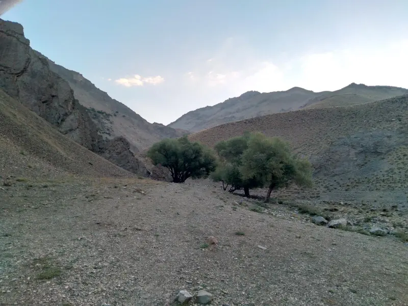
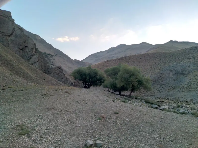
The area has diverse flora and fauna. Plants seen here include wild clover, buk (in the local language), sorrel, yarrow, gorz-kolik (a very fragrant yellow rose used to make jam), karzang, wild or natural parsley, wild dill, very large edible mushrooms, golpar (hogweed), borage, badehnak, tragacanth, fumitory, as well as valak, mint, wild poppy and valik (hawthorn). The area is fully protected, and most wild mammals are found in the cold seasons, because in summer there is a lot of traffic and the animals try to stay hidden. Animals here include jackals, foxes, bears, wild boars, wolves, wild goats, hares, and birds such as sparrows, chukars, crows, hoopoes and eagles.
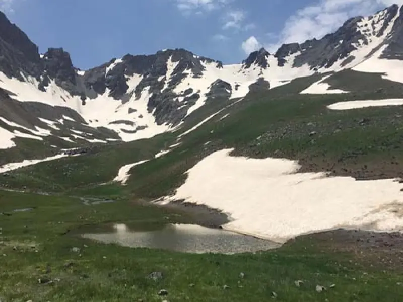
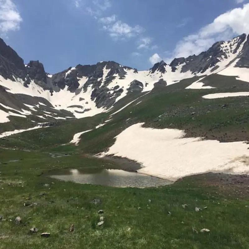
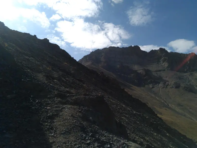
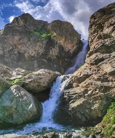
On Sarmahu Peak, none of the first- to third-generation mobile operators have coverage. The routes present various challenges, from glaciers and heavy snow to dangerous gullies. The scree-skiing route and the risk of large falling rocks also add to the difficulty. A notable feature of the area is its many springs, and drinking water is found in abundance along the route. However, there is no access to water from the Kamankuh Plain route to Churan Pass and on to Azadkuh Peak, so it is best to collect all the drinking water you need for the climb from the Kamankuh Plain to Azadkuh at the very start of the plain.
Written by زهرا لنگری Last updated
Activities
What you can do here, and what it takes
-
Mountaineering
صعود به قله نیازمند درگیری با سنگ و فرود از گردنه بین سرماهو و یخچال مستلزم عبور از یخچال با شیب تند است.
-
Walking
دو روز زمان برای پیمایش قله سرماهو نیاز دارید.
Specifications
Introduction of the location and specifications of Sarmahu Peak
Location:
Alborz, Karaj
Coordinates:
36.12505005, 51.47592551
Open in maps
Height above mean sea:
4108 meter
Faunas:
Presence of Predatory Animals, Presence of Herbivorous Animals
Transports:
Only with technical climbing equipment
Tourist Attractions in Alborz
Attractions that are nearby

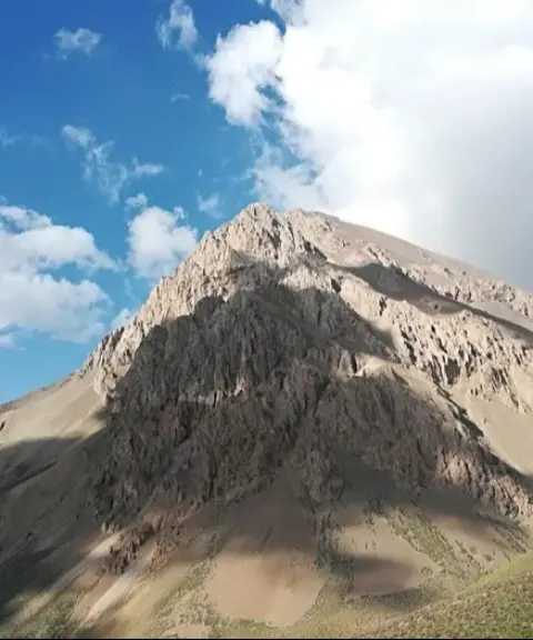
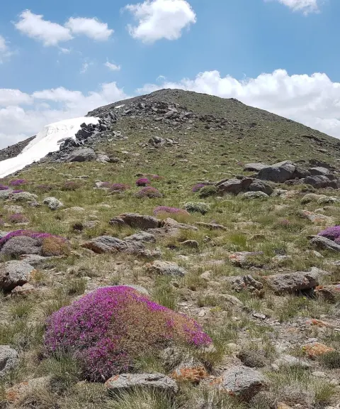
Sekkeno Peak
Province Alborz
- Mountaineering
- Walking
The Jewel of the Harzeh-Kuh Ridge in the Central Alborz
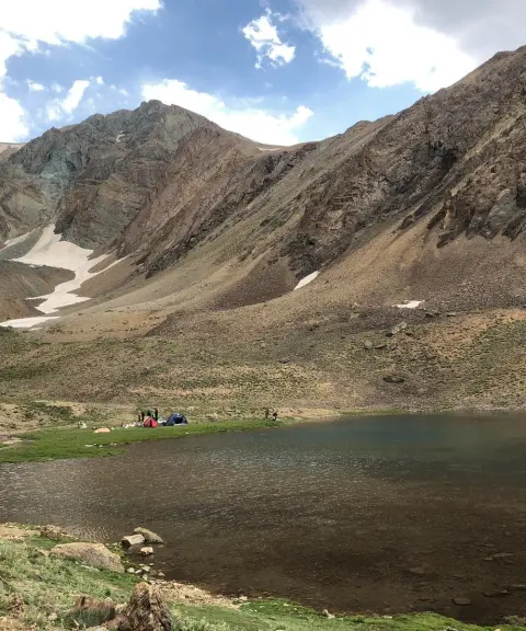
Khalno Lake
Province Tehran
- Walking
- Swimming
- Mountaineering
The Jewel of the Central Alborz Mountains
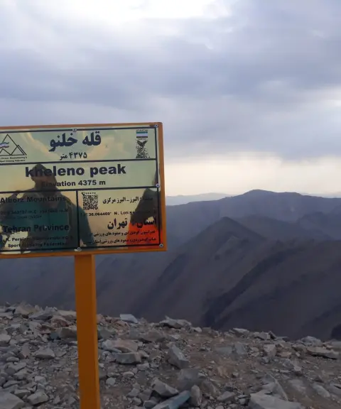

Related tags:
Unfortunately, no comments have been registered.