
 Mountain
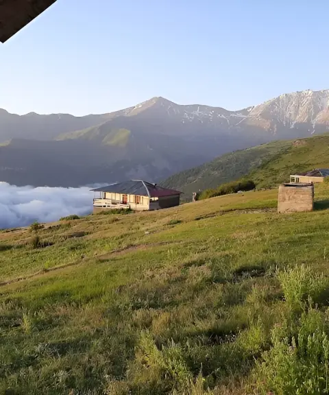

Balandeh Village
Province Mazandaran
- Walking
The Standout Summit of the Sehezar Highlands
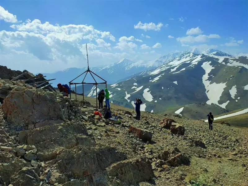
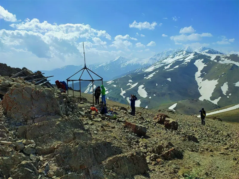
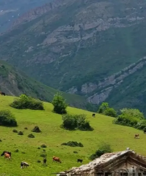
Shah Rashid Peak is one of the most prominent summits of the Central Alborz range. It lies in Mazandaran Province, in Tonekabon County, in the Nashtarud district and the summer-pasture highlands of Sehezar. The peak is known locally as "Shah Rashid Da Ku" and forms part of the mountain folds of Takht-e Soleyman. As the last treeless high point on the north–south ridge of Takht-e Soleyman, Shah Rashid has a commanding view over the Tonekabon plain and can be seen from many parts of it.
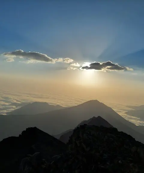
For mountain tourism, Shah Rashid Peak, at 3,243 metres above sea level, holds an important place among the summits of the Sehezar region. Thanks to its good altitude, very wide views and ridge-top position, it is a popular destination for experienced climbers. On clear days, the summit offers views over a large part of the Tonekabon plain, Nashtarud and even the western areas of Mazandaran. A small ritual and pilgrimage structure near the top adds to its cultural and local significance, and has made Shah Rashid one of the best-known and most distinctive peaks of the Daku area.
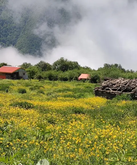
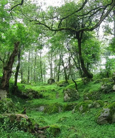
Access to Shah Rashid Peak is mainly from the south and southeast, from villages such as Lireh Sar, Gulasar and Falakdeh. After passing through the forests above the villages, these routes lead to the high spurs and ridgelines. The best time to climb and visit the peak is late spring, summer and early autumn, when the risk of fog, snowfall and severe cold is lower. When travelling in nature in this area, responsible practices are essential for the sustainability of the mountain ecosystem. These include protecting the pasture vegetation, avoiding damage to water sources, respecting local beliefs and carrying out all your rubbish.
Written by ستایش عرب Last updated
What you can do here, and what it takes
مسیرهای جنگلی و یالی منتهی به قله شاه رشید برای صعودهای یکروزه و برنامههای کوهنوردی نیمهسنگین مناسب است.
Province Mazandaran
Province Mazandaran
Province Mazandaran
Province Mazandaran


Unfortunately, no comments have been registered.