
 Mountain
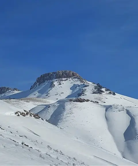
Qalat Shah Peak
Province West Azerbaijan
- Mountaineering
- Walking
A Majestic Zagros Summit in West Azerbaijan
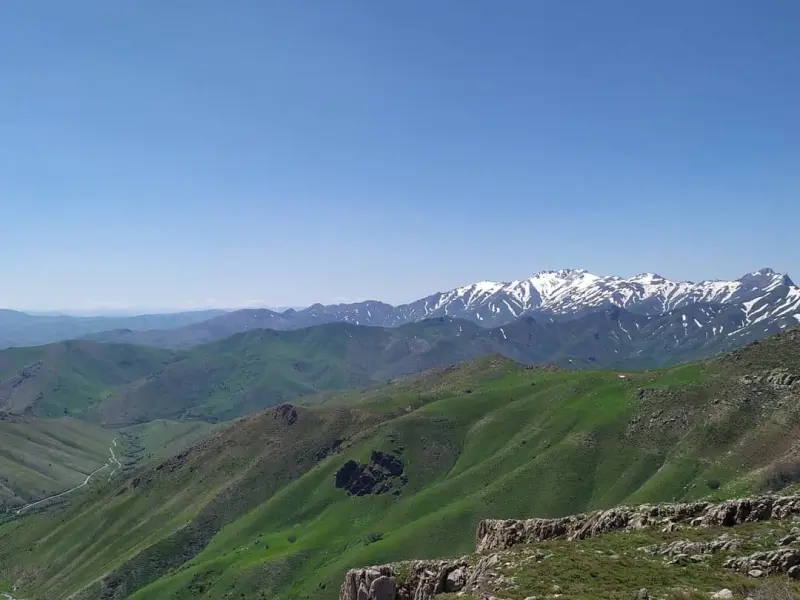
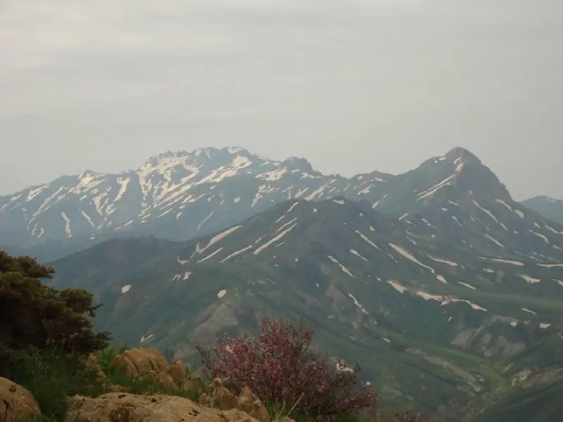
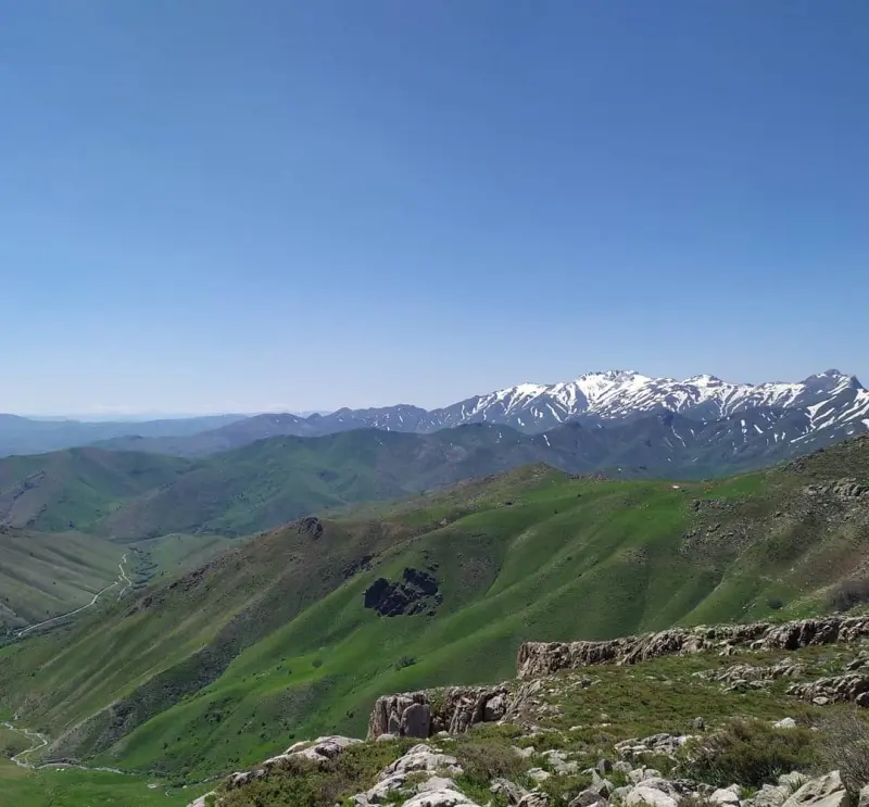
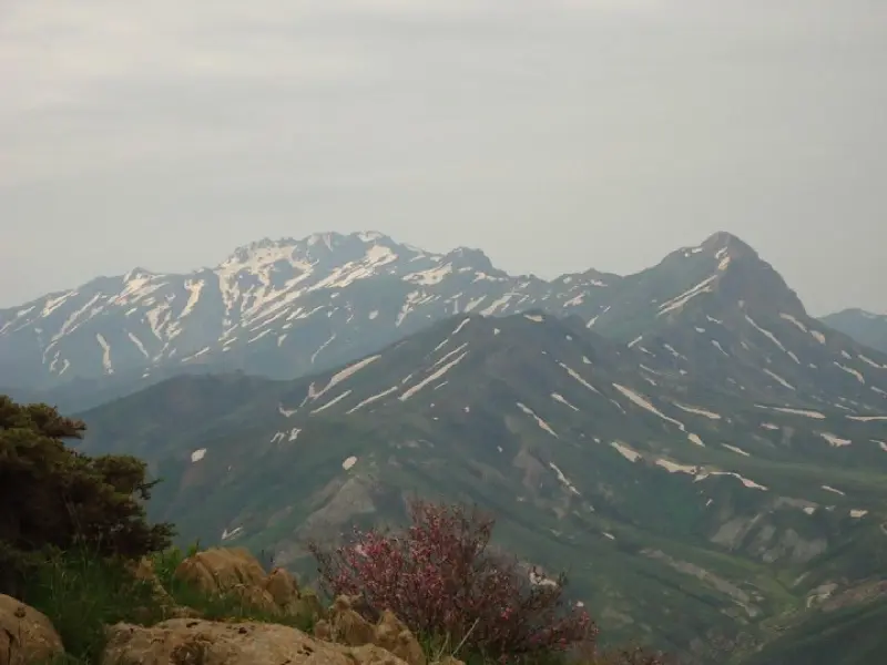
Landi Sheikhan Peak is one of the most prominent mountains in West Azerbaijan Province in northwestern Iran. It lies in the Lajan district of Piranshahr County and forms an important part of the Zagros mountain range. The peak is about 2,788 metres above sea level, which places it among the notable summits of the region and offers wide, unspoiled views of the surrounding mountains and plains. Landi Sheikhan Peak stands next to the Maidan-Astar heights and other neighbouring highlands. Thanks to its natural features, including rocky terrain and long ridges, it holds a special appeal for climbers and nature lovers.
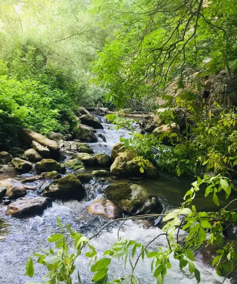
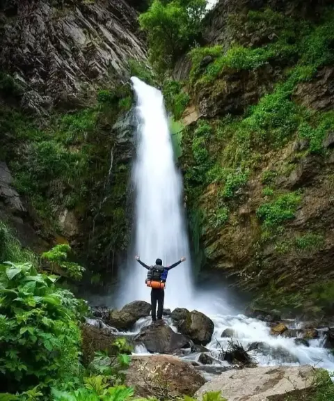
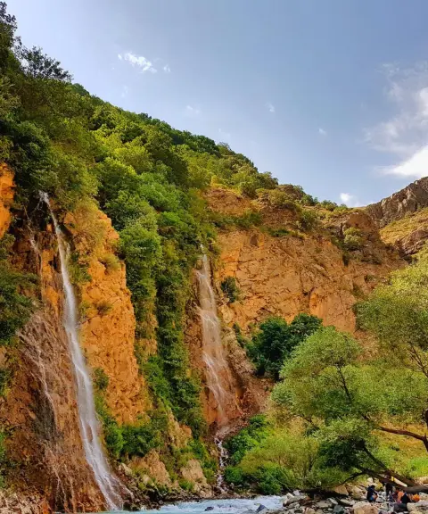
The vegetation and landscape around Landi Sheikhan combine mountain pastures with native Zagros plants. In spring and early summer in particular, the area becomes strikingly beautiful with wildflowers, medicinal plants and natural springs. Valleys and footpaths run toward the summit from the eastern and western slopes, offering varied scenery of rock formations, flowing springs and diverse plant life. Because of the complexity of the routes and the considerable gain in elevation, travelling across these heights ranges from moderately technical to challenging, giving visitors a rewarding trekking and mountaineering experience.
The approach to Landi Sheikhan Peak usually starts from the city of Piranshahr, following a dirt village road to the village of Qalat Sannan and then continuing into the Sheikhan and Nilan valleys. Depending on the route chosen, the hike to the summit can take between 4 and 8 hours, and some climbing programmes include an overnight stay on the lower slopes. The best time to visit is from spring to early autumn, when the weather is mild and the trails are in their best natural condition. During any responsible trip, it is important to protect nature, not leave any litter, and respect wildlife and village communities so that this precious ecosystem is preserved.
Written by ستایش عرب Last updated
What you can do here, and what it takes
مسیرهای پاکوب از روستاهای اطراف تا یالهای صخرهای قله برای کوهنوردی متوسط تا چالشبرانگیز مناسب هستند.
دامنهها و درههای پیرامون مسیر، فرصتهایی مناسب برای پیادهروی تفریحی و مشاهده پوشش گیاهی و چشمههای طبیعی فراهم میکند.
Province West Azerbaijan

Province West Azerbaijan
Province West Azerbaijan
Province West Azerbaijan
Province West Azerbaijan
Province West Azerbaijan
Province West Azerbaijan


Unfortunately, no comments have been registered.