
 Mountain
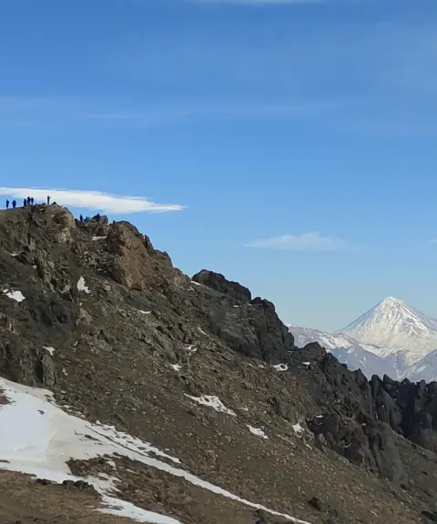
Lezoon Sharghi and Lezoon Gharbi Peaks
Gems of the Tochal Ridge in the Alborz Mountains
- Mountain
- Tehran, Tajrish
- Altitude 3,537 m
- Ability level Intermediate
- Routes 1 recorded route
Ability level:
Intermediate
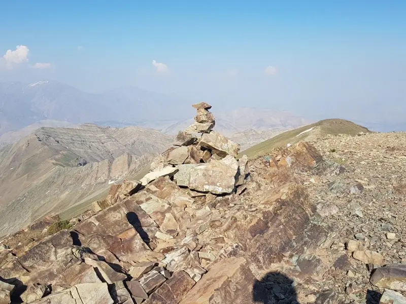
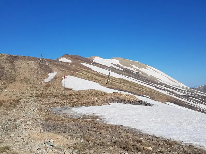
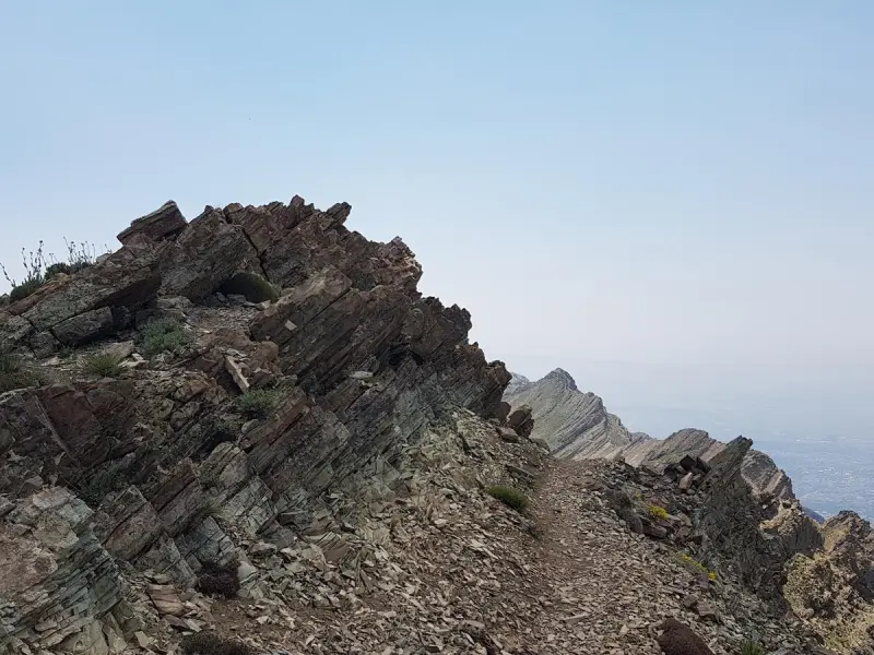
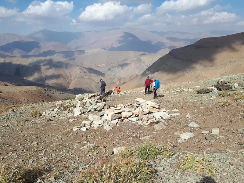
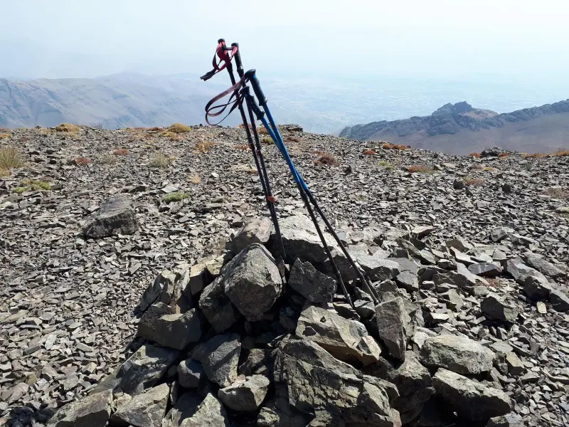
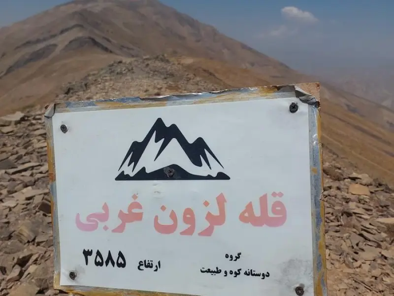
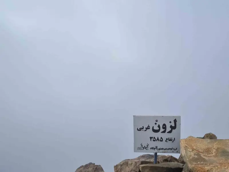
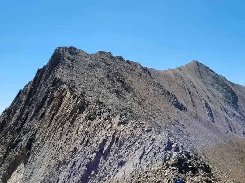
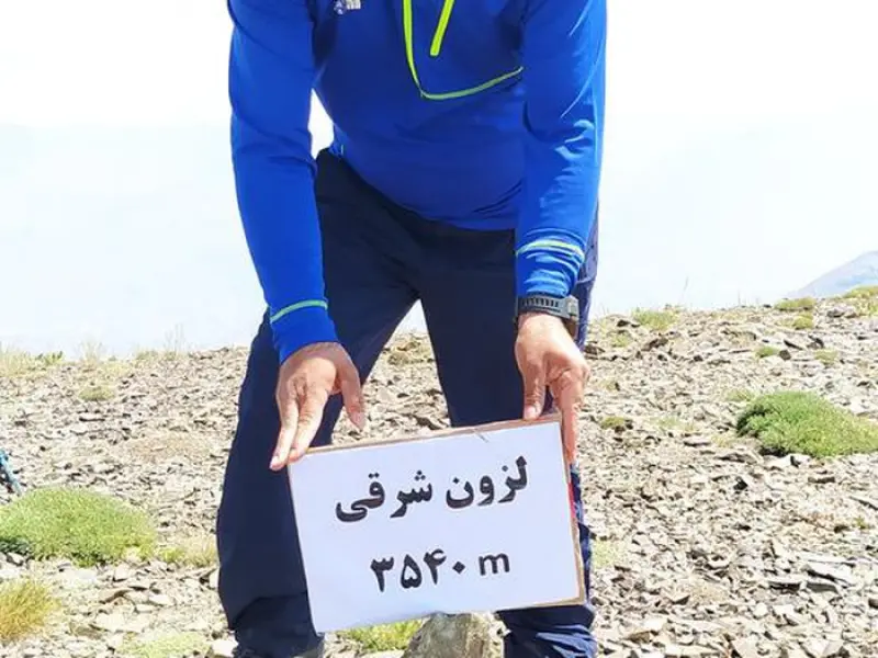
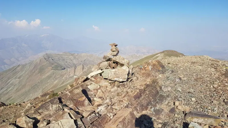
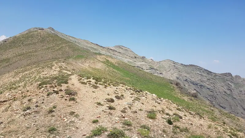
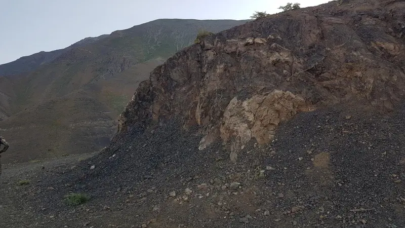
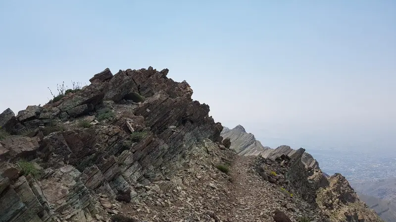
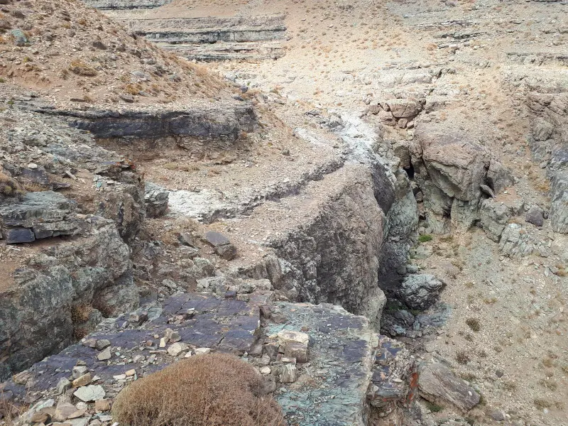
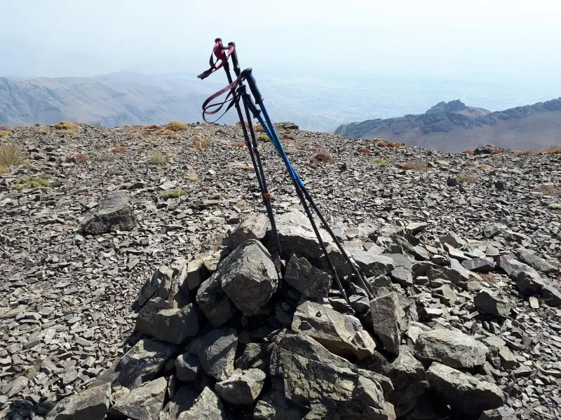
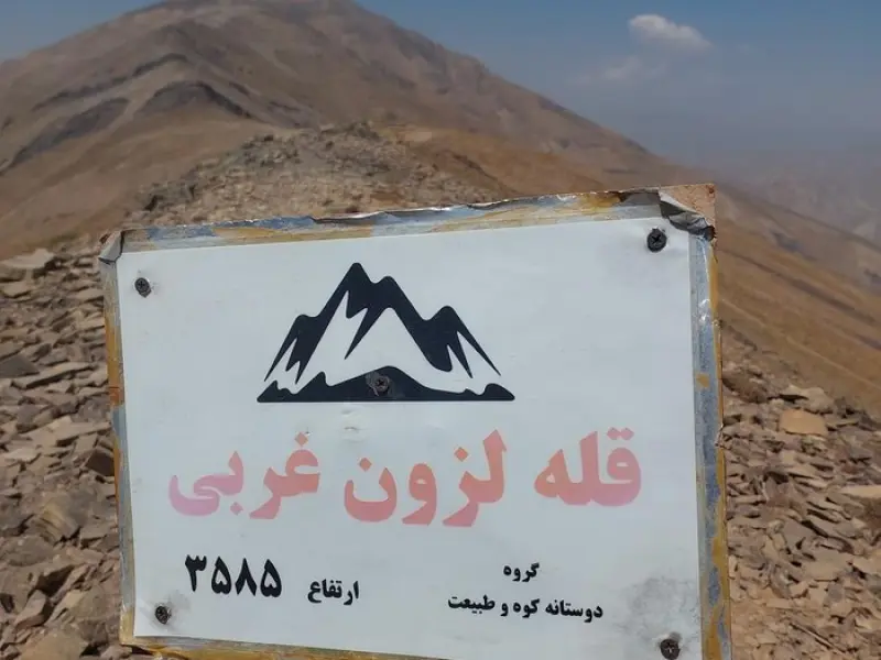
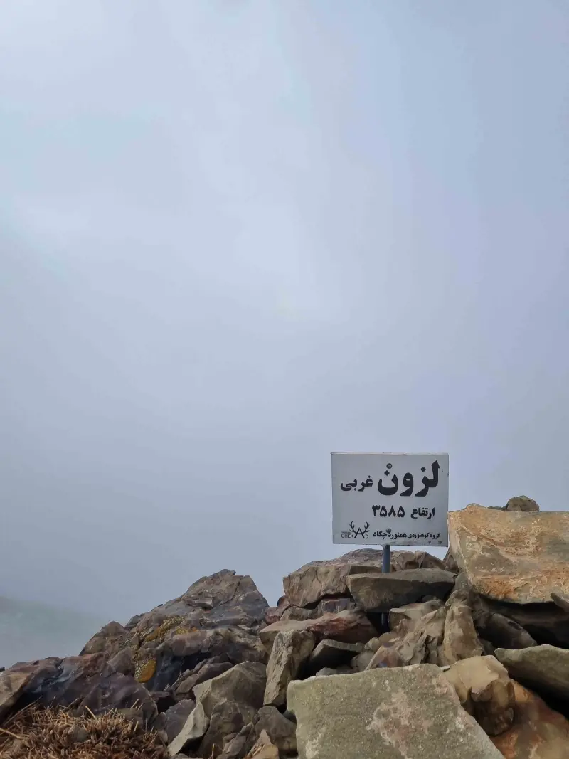
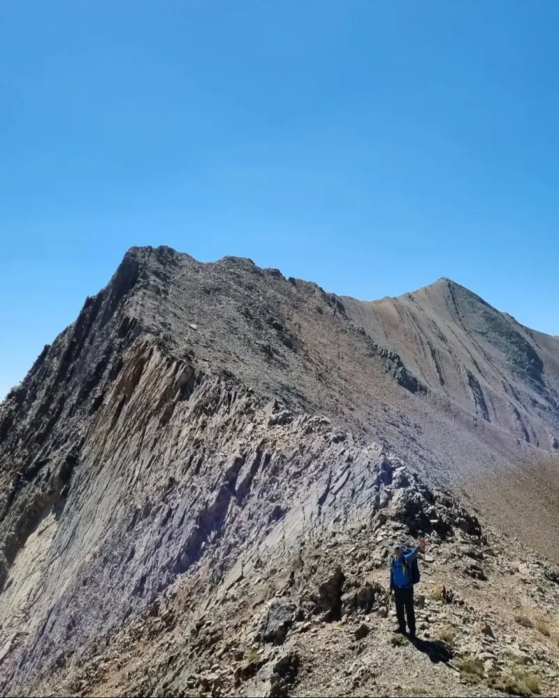
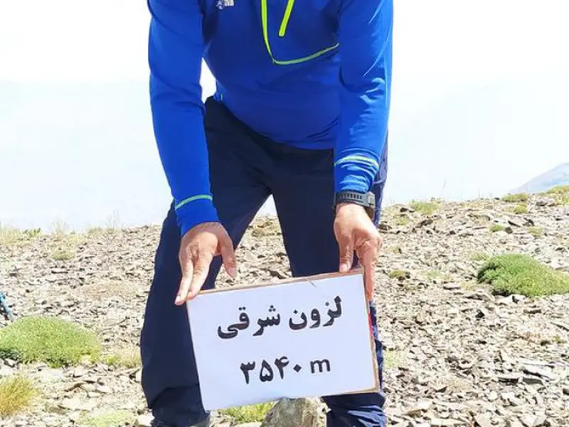
The Lezoon Sharghi (East Lezoon) and Lezoon Gharbi (West Lezoon) peaks are a group of prominent summits in the Central Alborz range, located in Shemiranat County, Tehran Province, and form part of the Tochal to Darabad ridge. Lying north of Tehran, these two peaks are known for their unspoiled mountain scenery and beautiful natural views. East Lezoon, at an elevation of about 3,540 meters above sea level, and West Lezoon, at about 3,585 meters above sea level, are among the middle peaks of this ridge. They stretch between the Piazchal Pass, the Eagle Valley (Eygel), Chal-Ow Peak and the Darabad heights, and play an important role in the region's climbing routes.
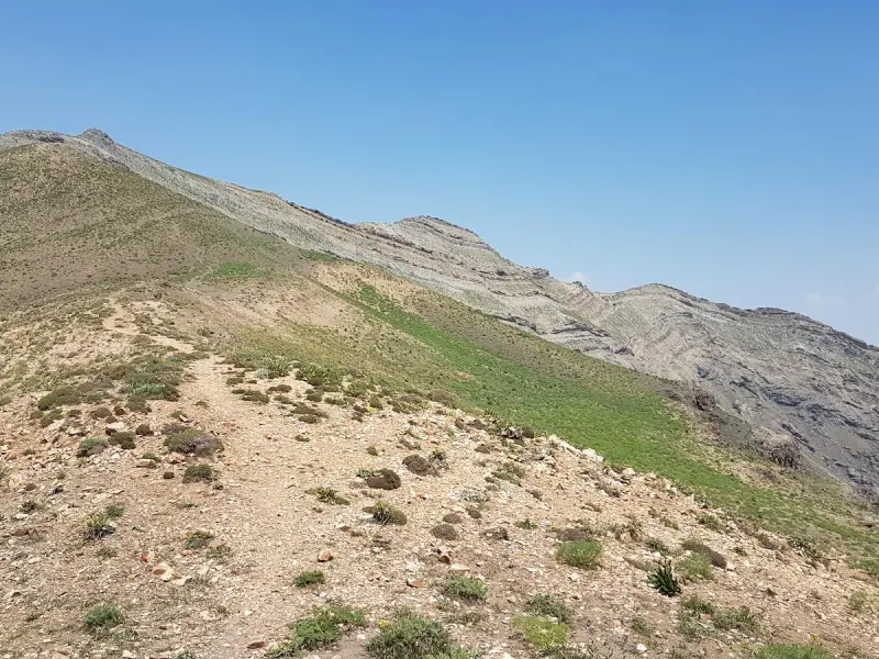
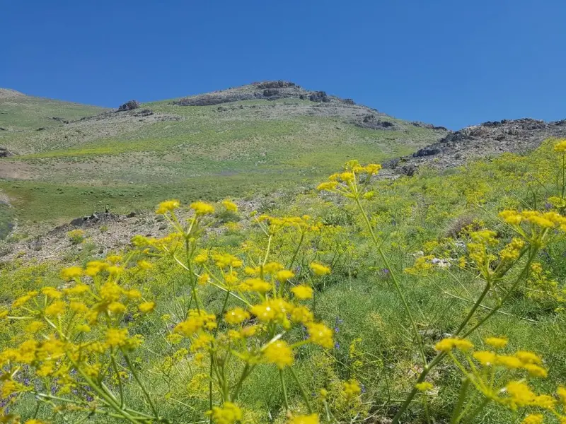
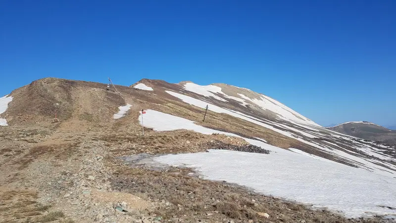
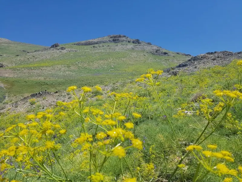
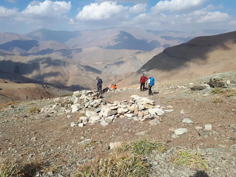
Along the natural trails around these peaks you can see the mountain vegetation of the Alborz, with meadows, pasture shrubs and native plants that look lush and beautiful in spring and summer. Fairly well-defined footpaths from Kolakchal to the Piazchal Pass, and from Darabad or other ridge routes, make these heights a good choice for climbing and nature tourism. On clear days, the wide views over the heights north of Tehran, the villages of Ahar and Eygel, and the surrounding plains lend the area a special beauty and appeal.
To reach these peaks, climbing programs usually start from Jamshidieh Park and the Kolakchal route, and after passing the Piazchal Pass and the northern ridges, reach East Lezoon and then West Lezoon. Traversing the whole ridge and its peaks is usually done in one full day and requires a moderate level of mountaineering ability. The best time to visit is from spring to early autumn, when the weather is milder and the vegetation of the area is at its most beautiful. For responsible nature travel, visitors are advised to collect their litter, respect natural habitats and avoid lighting fires at high altitudes, so that this sensitive ecosystem is preserved.
Written by ستایش عرب Last updated
Activities
What you can do here, and what it takes
-
Mountaineering
مسیرهای پاکوب مشخص از پارک جمشیدیه و کلکچال تا گردنه پیازچال و خطالرأس لزون برای کوهنوردی میانرده و تجربه ارتفاع مناسب هستند.
-
Walking
دامنهها و گردنههای میان مسیر برای پیادهگردی سبک و تماشای مناظر طبیعی مناسباند.
Specifications
Introduction of the location and specifications of Lezoon Sharghi and Lezoon Gharbi Peaks
Location:
Tehran, Tajrish
Coordinates:
35.86918105, 51.45584101
Open in maps
Height above mean sea:
3537 meter
Floras:
Semi-humid mountain climate
Faunas:
Presence of Predatory Animals, Presence of Herbivorous Animals
Transports:
Private car, Walking, Minibus, Bus
Tourist Attractions in Tajrish
Attractions that are nearby
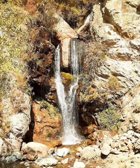

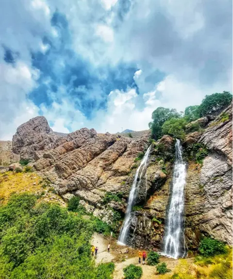
Shirpala Twin Waterfall
Province Tehran
- Walking
- Swimming
- Mountaineering
A Jewel in the Heart of the Alborz Mountains
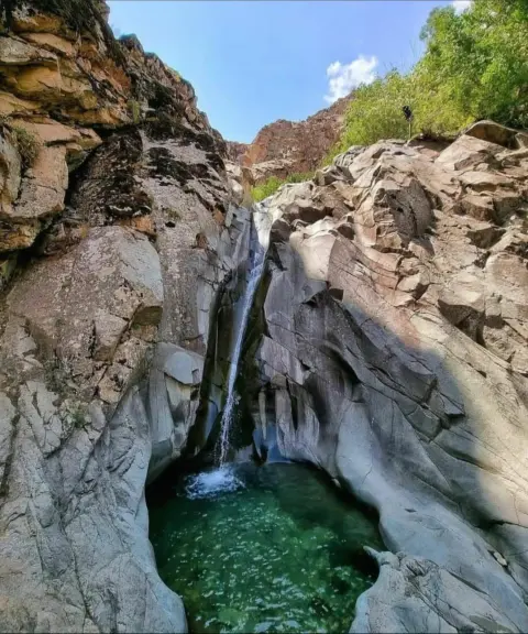
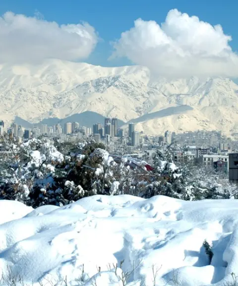
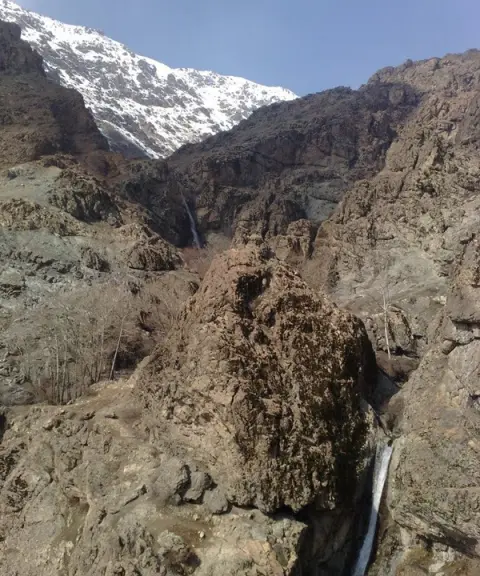
Osun Waterfall
Province Tehran
- Walking
- Mountaineering
- Swimming
Natural tranquility and rushing springs in the embrace of the Alborz
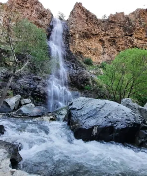
Chal-Magas Waterfall
Province Tehran
- Walking
- Mountaineering
A pristine corner of Darabad Valley in Tehran
Related tags:
Unfortunately, no comments have been registered.