
 Mountain
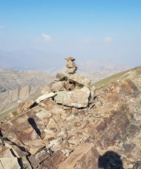
Lezoon Sharghi and Lezoon Gharbi Peaks
Province Tehran
- Mountaineering
- Walking
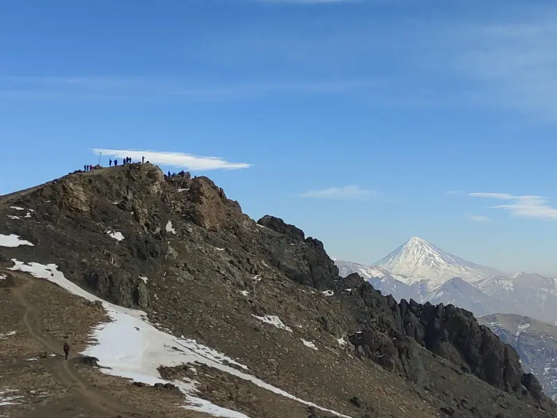
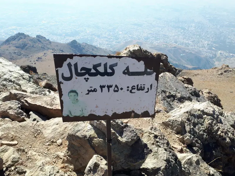
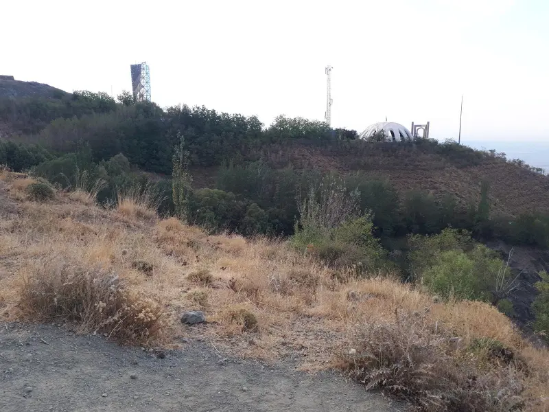
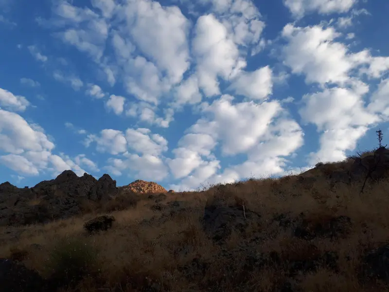
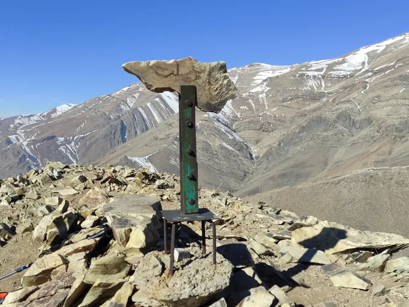
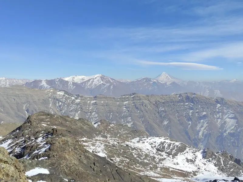
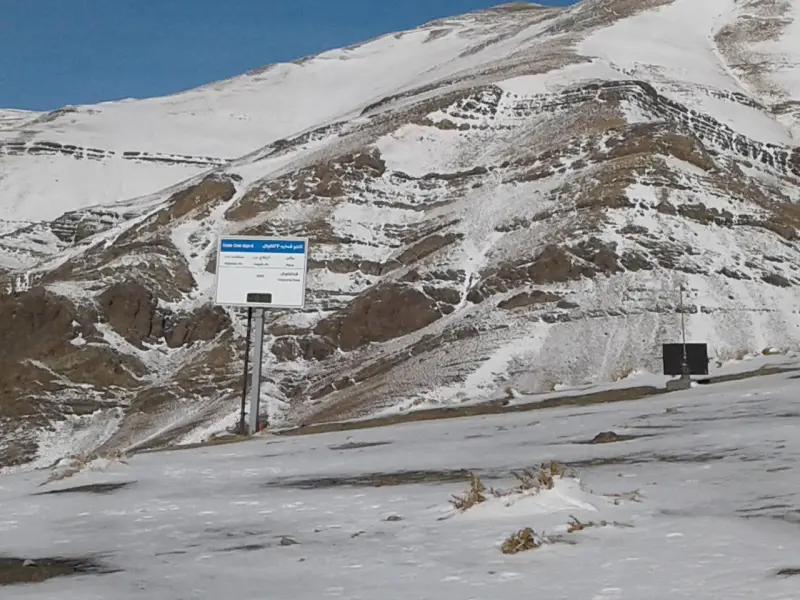
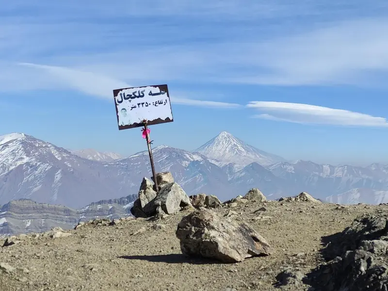
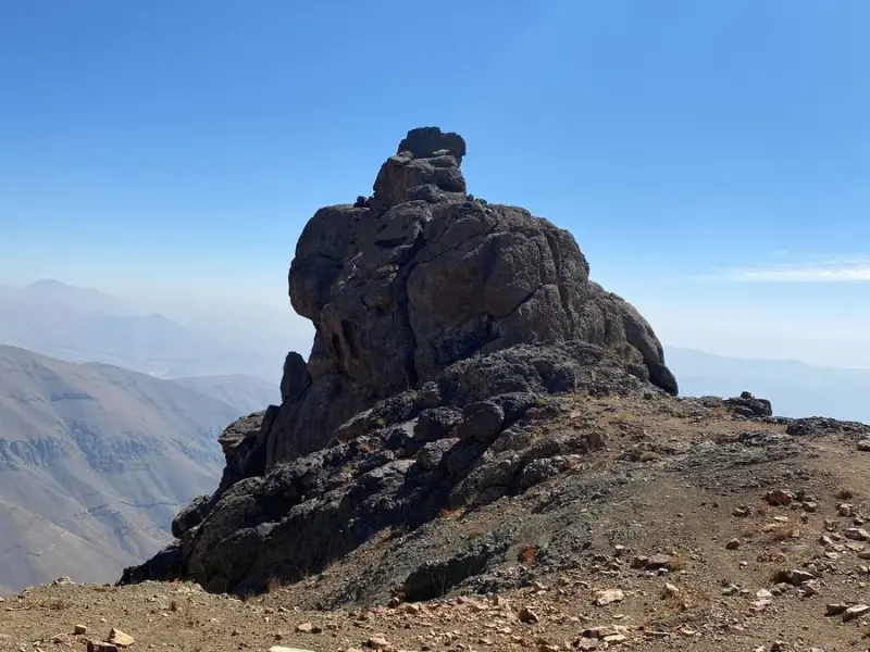
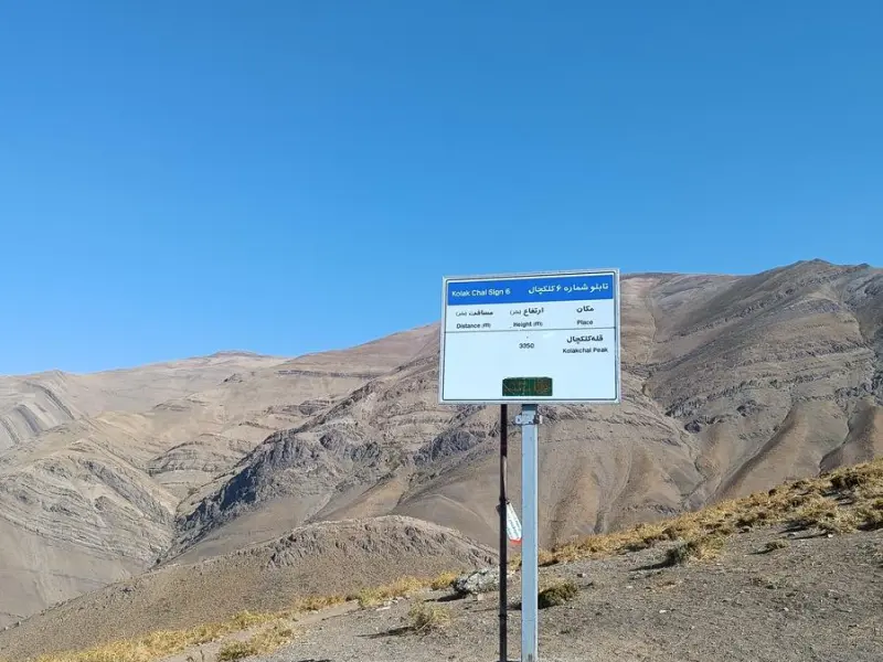
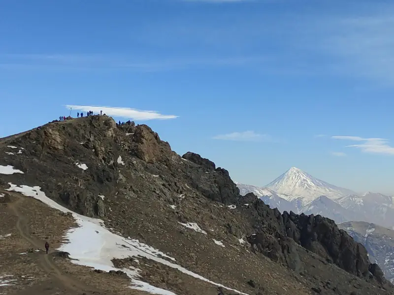
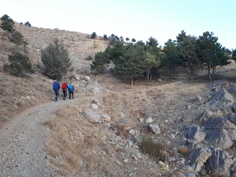
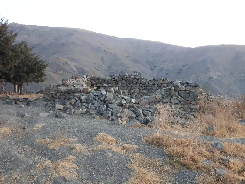
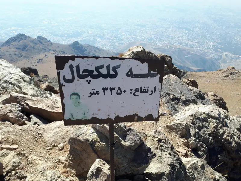
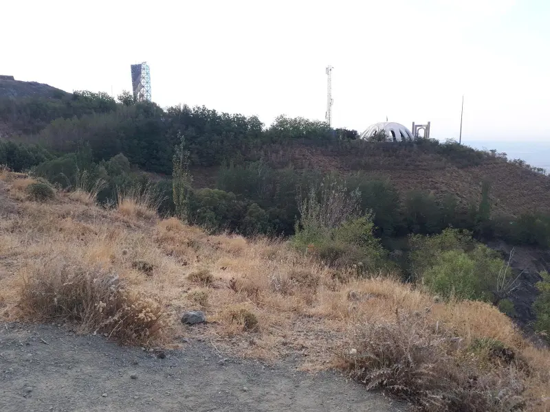
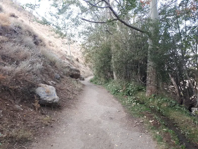
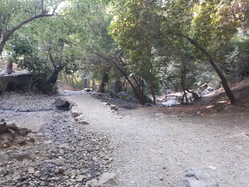
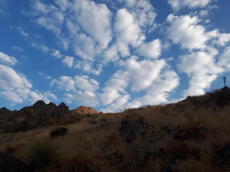
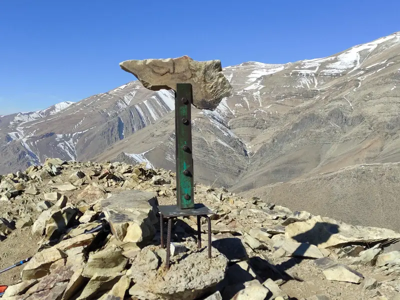
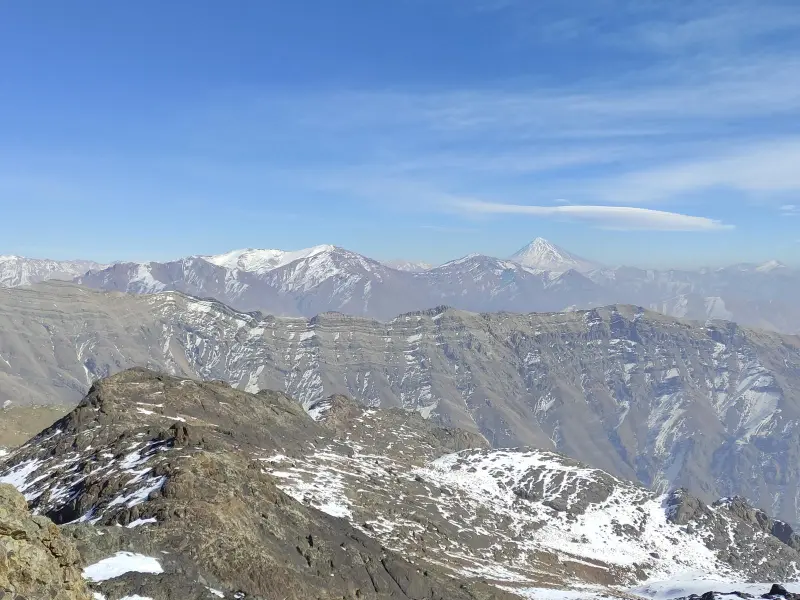
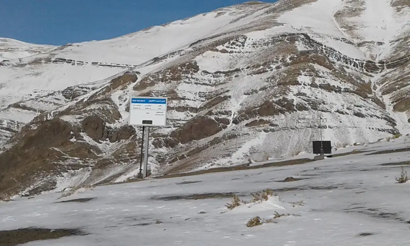
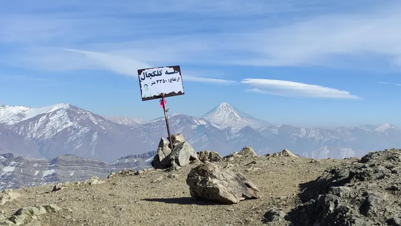
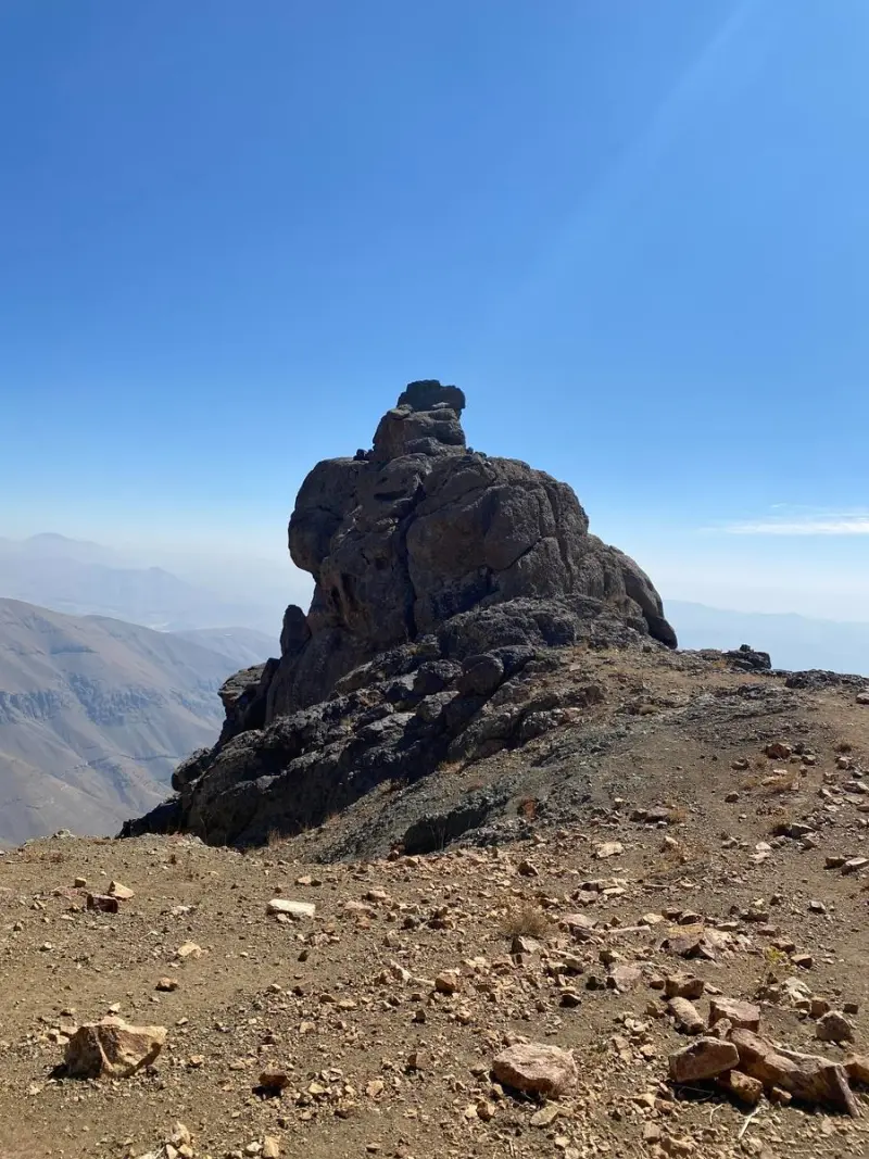
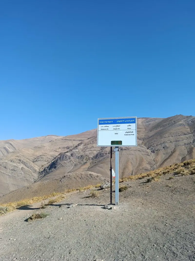
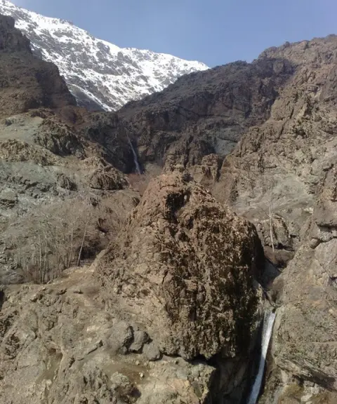
Kolakchal Peak is one of the well-known summits of the Central Alborz range, in the northern part of Tehran. It lies close to other peaks such as Piazchal and Split, and its elevation is estimated at about 3,350 metres above sea level. The peak offers a wide view over Tehran, the neighbouring mountains and the Alborz ridgeline. Thanks to its relatively easy access and well-marked routes, it is a popular destination for day hikes among Tehranis and nature lovers.
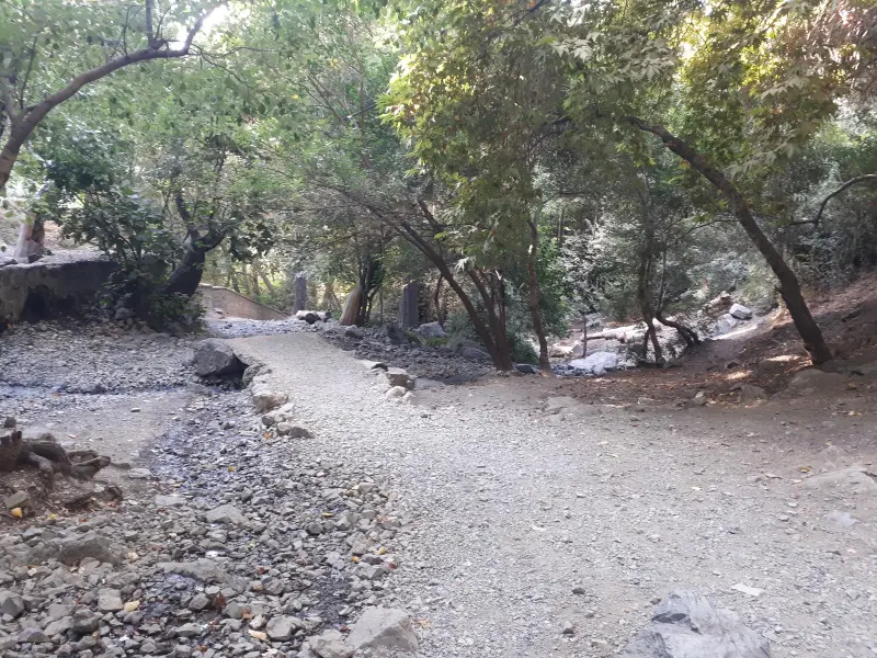
The vegetation on the lower slopes of Kolakchal Peak includes broadleaf forest trees, shrubland and mountain pasture plants, which adorn the ascent route, especially in spring and summer. At higher elevations the vegetation thins out, and mostly cold- and wind-resistant plants such as thyme, astragalus (gavan), wild rhubarb (valak), sirak, thistle, barijeh (galbanum), penbarak and yarrow can be seen. They are adapted to the semi-humid mountain climate and give the nature-tourism experience a distinctive colour and scent. In spring and summer the route is lush and full of flowers, and the landscape takes on a special beauty. Springs and seasonal streams also let hikers replenish their water along the way.
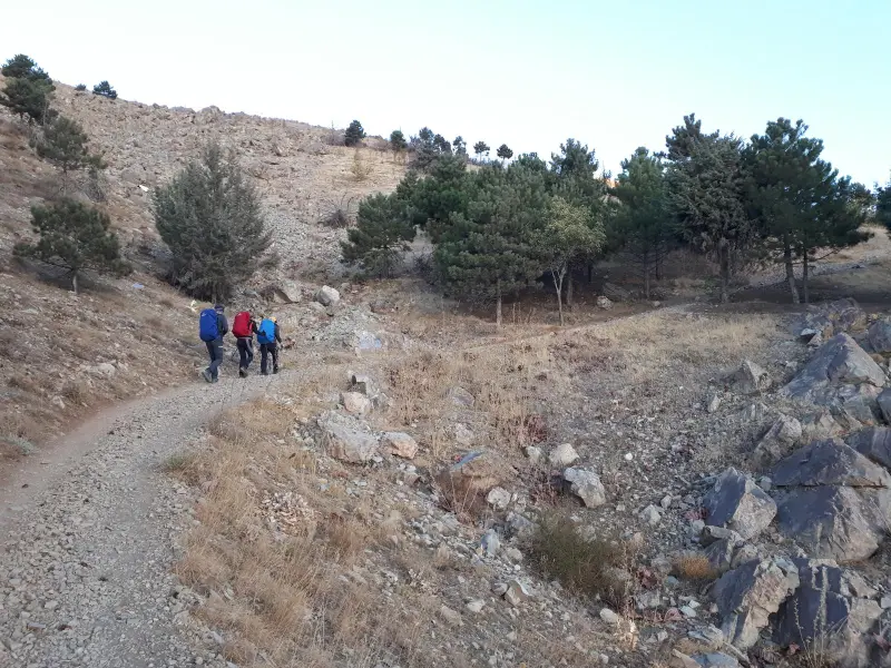
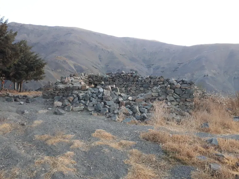
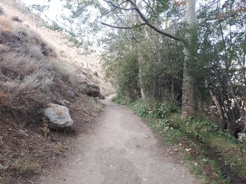
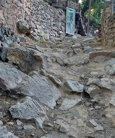
To reach Kolakchal Peak, the main route usually starts from Jamshidieh Park in northern Tehran. From there a clear footpath leads to the Kolakchal Shelter, and after that you reach the Kolakchal Pass (about 3,000 metres), from where the summit can be reached via the west ridge. The route is about 8 to 14 kilometres long in total, with an elevation gain of about 1,500 metres. Climbers should therefore be in good physical shape and carry basic equipment such as hiking boots, enough water and suitable clothing. The best time to climb the peak is from spring to early autumn, when weather conditions are more favourable for hiking and enjoying the scenery. Responsible nature tourism means collecting your litter, not damaging the vegetation and paying attention to safety along the route, so that this mountain attraction is preserved for others too.
Written by ستایش عرب Last updated
What you can do here, and what it takes
مسیر پاکوب از پارک جمشیدیه تا قله مناسب پیمایش یک روزه و کوهنوردی تفریحی با تجهیزات پایه است.
Province Tehran
Province Tehran
Province Tehran
Province Tehran


Unfortunately, no comments have been registered.