
 Attractions
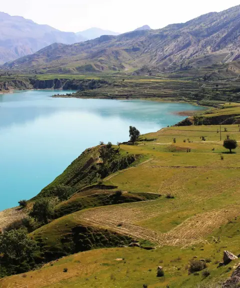

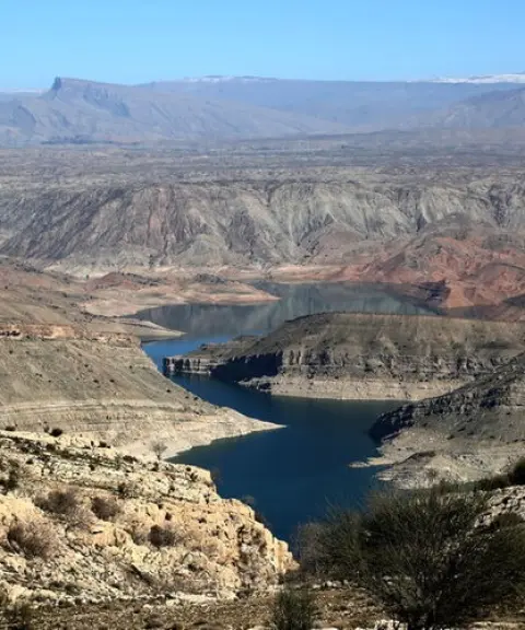
Kowsar Dam Lake
Province Kohgiluyeh and Boyer-Ahmad
- Walking
- Rowing
- Fishing
A historic village amid the Zagros forests
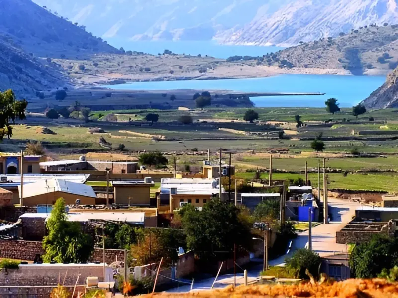
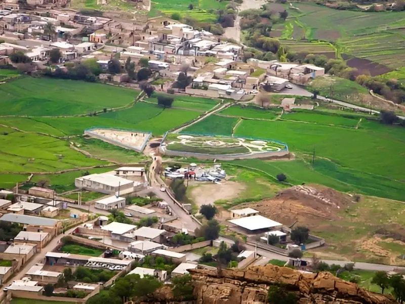
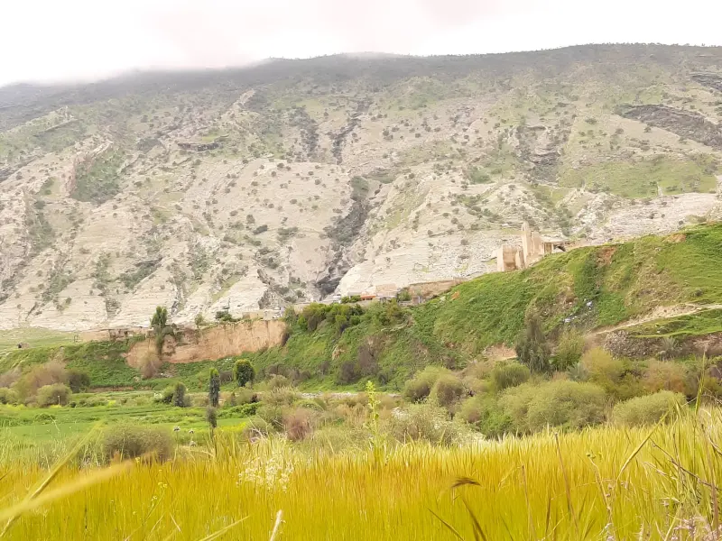
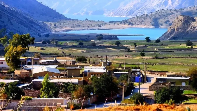
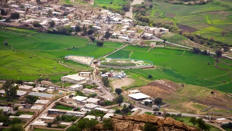
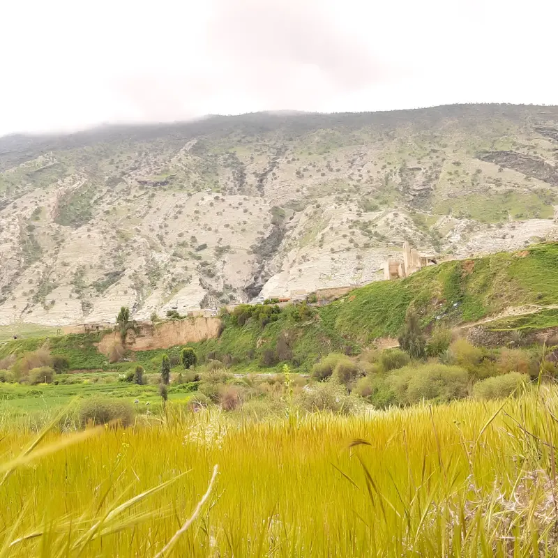
Aro is one of the historic and scenic villages of Gachsaran County in Kohgiluyeh and Boyer-Ahmad Province. It lies in Boyer Ahmad-e Garmsiri Rural District, about 32 km northwest of Dogonbadan and 188 km from Yasuj. The village sits at an altitude of about 850 m above sea level and has long been important because of its geographical position and distinctive natural conditions. Aro is located near the Kowsar Dam and was once known as the capital of Boyer Ahmad-e Garmsiri; in historical periods it was ruled by local khans. The villagers speak Luri, and agriculture is among the region's main activities, with crops such as rice, barley, broad beans and wheat grown here. Its semi-arid climate, natural scenery, forest cover and historical monuments make Aro a distinctive destination for those interested in rural and historical tourism.
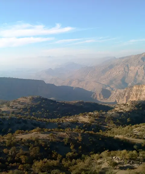
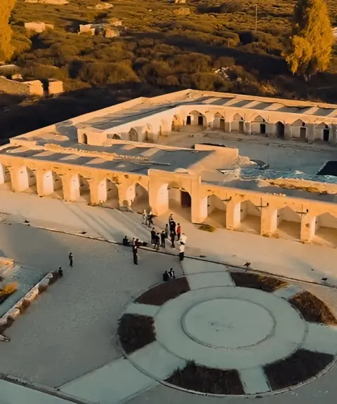
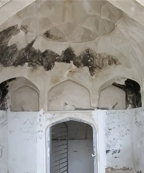
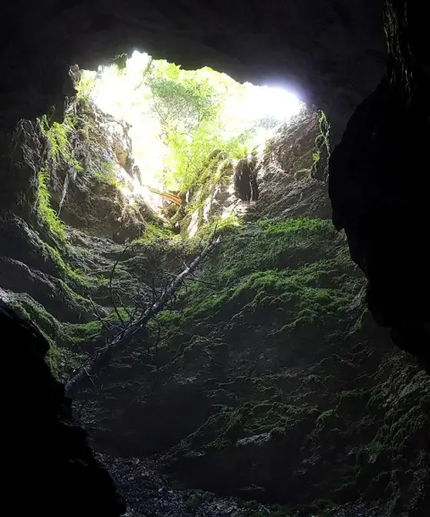
Aro's greatest tourism appeal is the combination of its historical heritage with the Zagros nature of the region. The historic Aro Castle, also known as the Abbas Qoli Khan Castle, is one of the village's landmark monuments and a relic of the Safavid era. The castle was important because of the region's strategic position, Aro's location on the route to Basht and its command over the Tang-e Duk gorge. The local khans built it using stone, gypsum plaster and native architectural methods. Over time, the passage of years and natural factors have destroyed parts of the castle and buried other sections under the soil, and a restoration plan has been pursued to preserve this historic monument and keep it from being forgotten. Alongside this heritage, the highlands and natural vegetation around the village are also valuable: oak, bitter almond, wild pistachio (baneh), kolkhong and wild fig trees, together with rangeland cover, form part of the region's natural character, and Aro's closeness to the Kowsar Dam adds further variety to the surrounding landscapes.
To reach Aro, head to Gachsaran County and then follow the road leading to the village in the Central District and Boyer Ahmad-e Garmsiri Rural District. The village lies about 32 km northwest of Dogonbadan, and once you arrive you can explore the village fabric, the natural scenery and the historic castle. Given the region's semi-arid climate, with hot, dry summers and cool winters, the cooler seasons, especially autumn and spring, offer more suitable conditions for strolling around the village, seeing the vegetation and visiting the historical sites. When visiting the nature around Aro, avoid damaging trees and rangeland vegetation, lighting fires in vegetated areas and leaving litter. At the historic castle, do not touch the surviving parts of the structure or remove any of its historic materials. Respecting the boundaries of farmland and honouring the life and activities of the local people are also part of responsible tourism in this area.
Written by زهرا لنگری Last updated
What you can do here, and what it takes
مسیرهای داخل روستا و محدوده پیرامون آن برای پیادهروی سبک مناسب هستند.
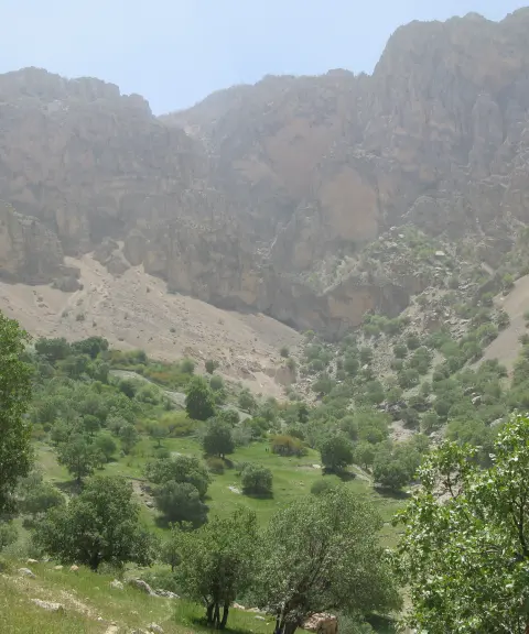
مسیرهای ارتفاعات اطراف روستا برای کوهپیمایی و تماشای چشماندازهای منطقه مناسب هستند.
Province Kohgiluyeh and Boyer-Ahmad
Province Kohgiluyeh and Boyer-Ahmad
Province Kohgiluyeh and Boyer-Ahmad
Province Kohgiluyeh and Boyer-Ahmad
Province Kohgiluyeh and Boyer-Ahmad
Province Kohgiluyeh and Boyer-Ahmad
Province Kohgiluyeh and Boyer-Ahmad


Unfortunately, no comments have been registered.