
 Mountain
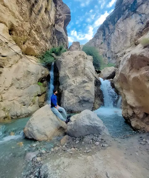

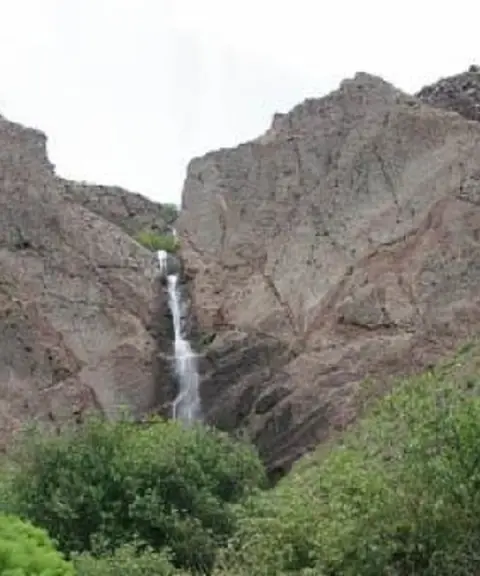
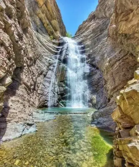
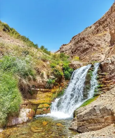
Kolha Waterfall
Province Alborz
- Walking
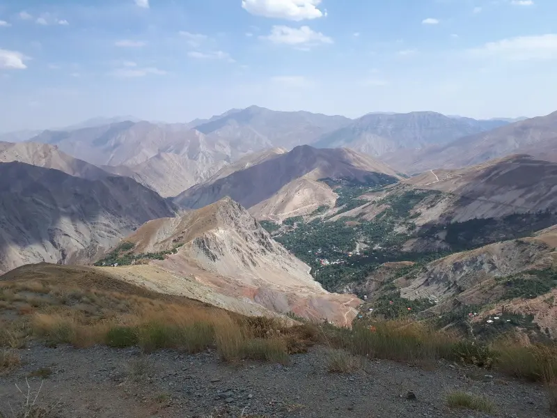
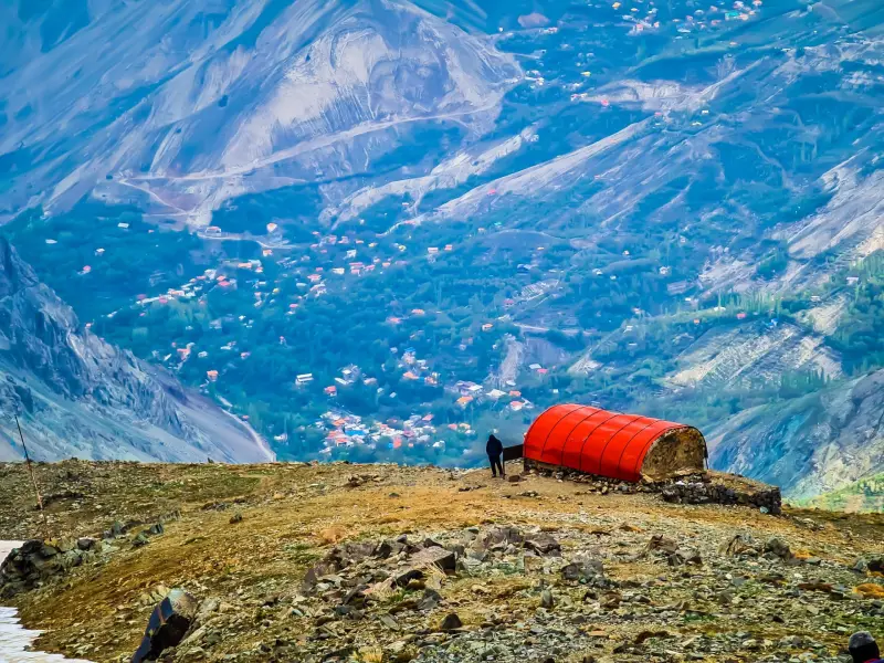
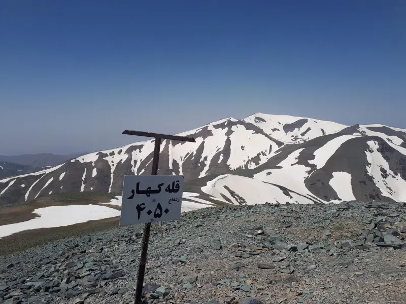
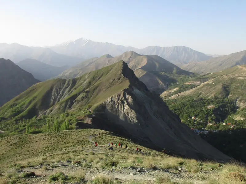
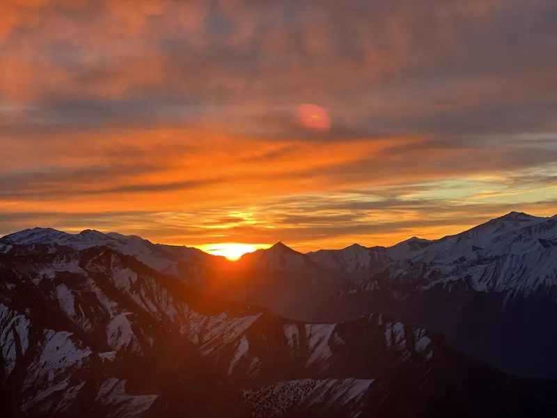
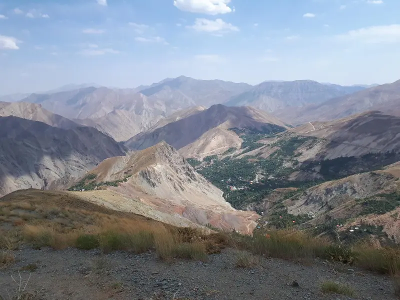
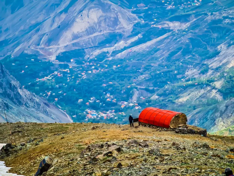
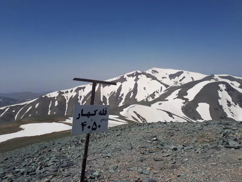
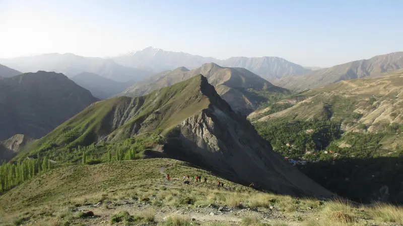
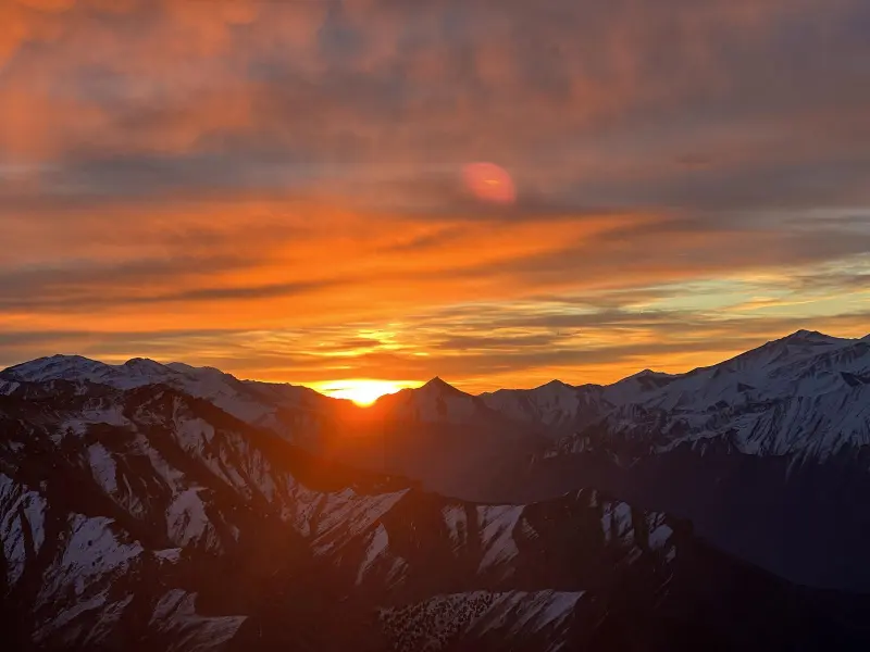
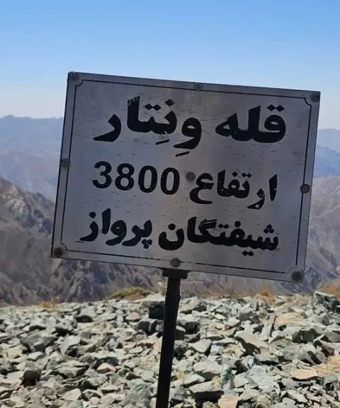
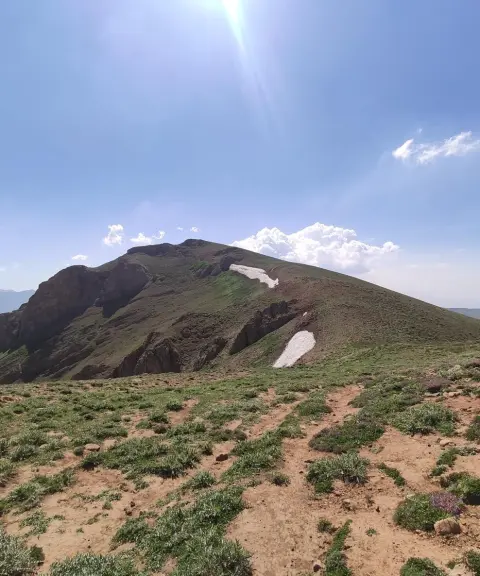
Kahar Peak lies in the Alborz Range, above the village of Kolvan. To the southwest it leads to Naz Peak, and to the north it leads to Ventar Peak. From the northwest, Kahar overlooks the Taleqan region, and the northern side of its eastern ridge overlooks the Asalak Pass and the Azadbar and Kohneh-deh valleys, which finally end at the village of Gachsar.
The difficulty of Kahar Peak is generally rated as moderate. Because it has no technical or rocky sections, it does not require advanced mountaineering techniques, and the climb is challenging mainly in terms of endurance and physical fitness. The route to Kahar mostly follows a footpath and ridge, and climbers can reach the summit without scrambling or special equipment. However, because of the high altitude and the strong winds that occur in some seasons, good physical fitness and experience of climbing at altitude are needed. In winter, Kahar presents particular challenges for climbers because of strong winds and severe cold. For a winter ascent, it is recommended that you check the weather conditions in advance and carry suitable equipment for cold weather, trail-breaking in snow and frostbite protection.
The best seasons for climbing Kahar are spring and summer. In these seasons the weather is milder and the mountain trails are clear of snow and ice, which makes the climb easier and safer. In spring in particular, the landscape is especially beautiful, with wildflowers blooming on the slopes, making for a pleasant experience for climbers. A summer climb is also an ideal choice, with good weather and the lowest likelihood of sudden changes in conditions. Autumn also has its own unique beauty, but because of the cold and the possibility of strong winds, you should head for the summit better prepared.
Written by زهرا لنگری Last updated
What you can do here, and what it takes
بسته به شرایط جسمانی و سرعت حرکت کوهنوردان، صعود به قله کهار از روستای کلوان معمولاً بین ۵ تا ۷ ساعت زمان میبرد.
تجهیزات لازم کوهنوردی را به همراه داشته باشید.
Province Alborz
Province Alborz
Province Alborz

Unfortunately, no comments have been registered.