
 Mountain
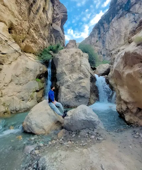

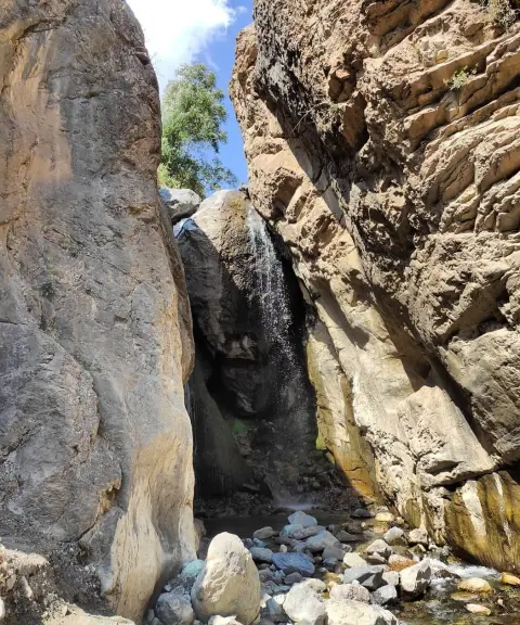
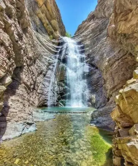
Kolha Waterfall
Province Alborz
- Walking
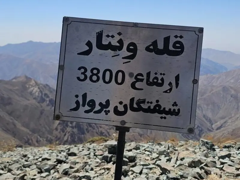
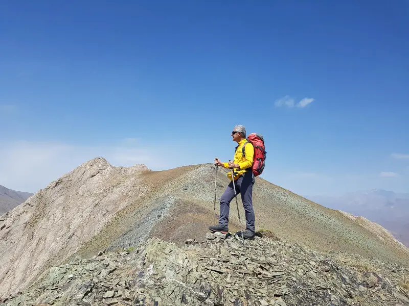
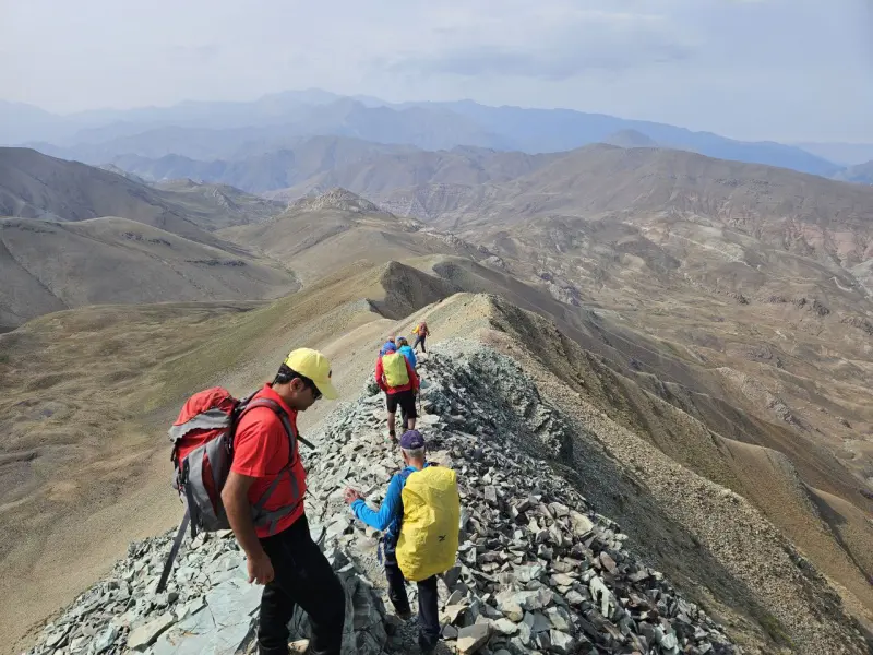
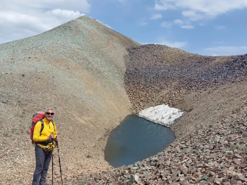
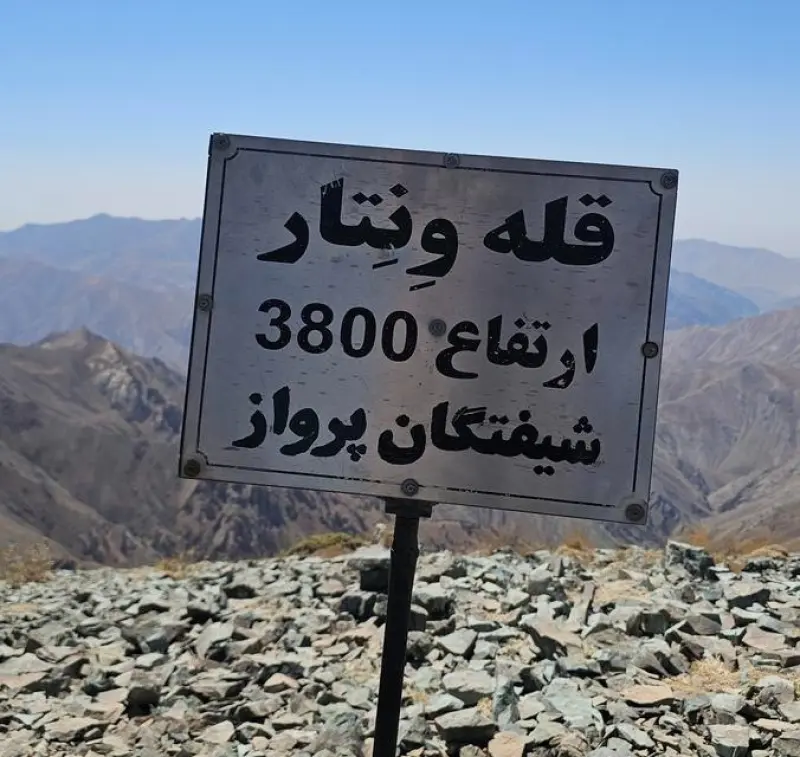
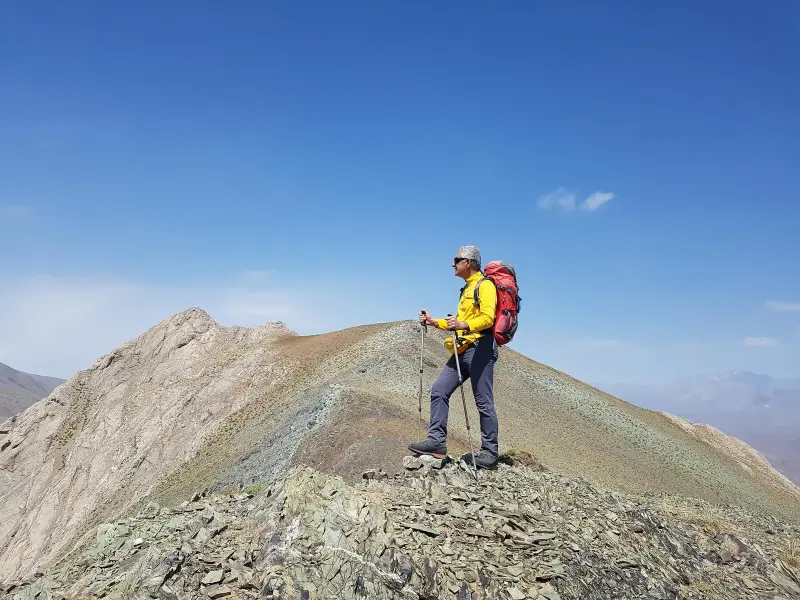
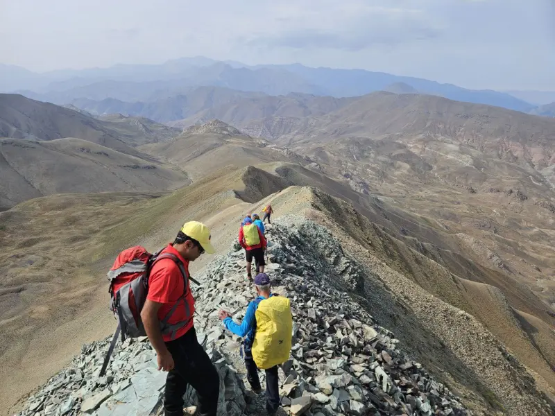
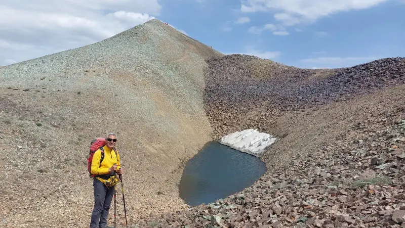
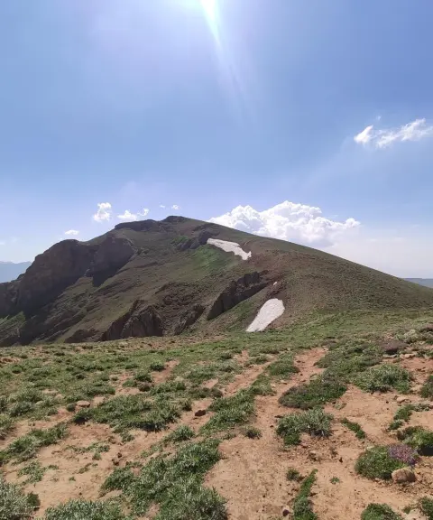
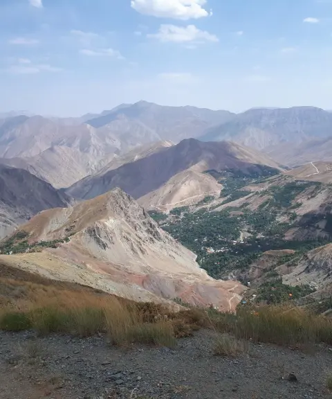
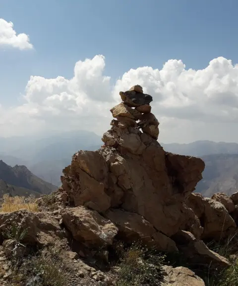
Vantar Peak is one of the notable summits in Alborz Province, in the western mountainous section of the Alborz range near the Chalus Road. It is known among Iranian climbers as an attractive mountaineering destination. The peak lies along the ridge running from Kahar to Haftkhan and offers a striking view of the heights of the Central Alborz. According to numerous ascent reports, the elevation of Vantar Peak is recorded at about 3,780 to 3,800 meters above sea level, which places it among the high peaks of the Western Alborz and makes it a suitable challenge for experienced climbers.
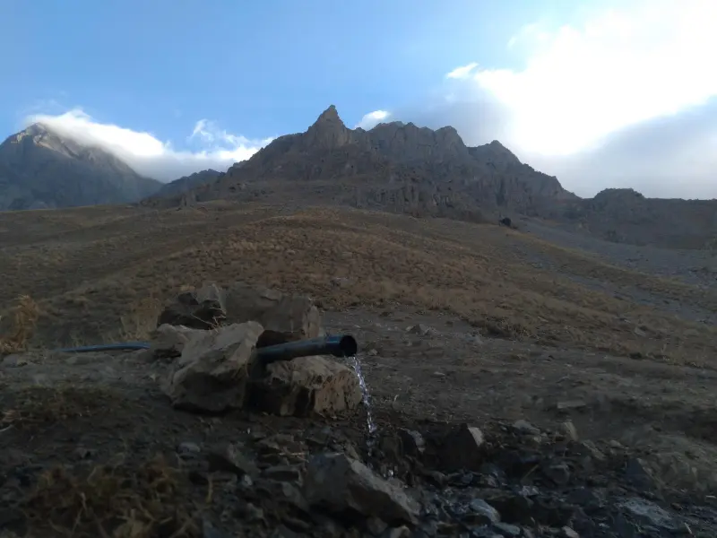
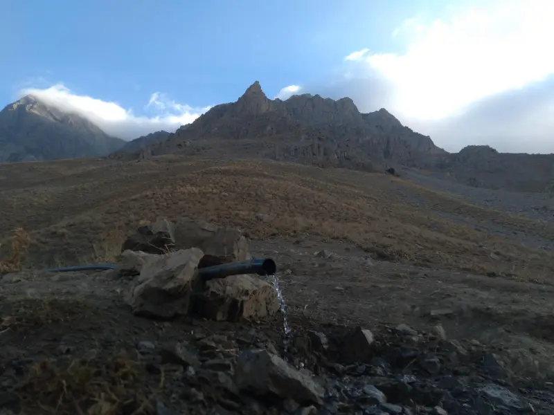
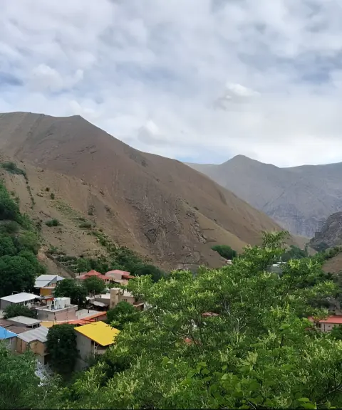
There are two main routes to the summit of Vantar Peak: the southern route from the village of Kolha, which is longer and involves a considerable elevation gain, and the northern route from the village of Azadbar and the Asalak Pass, which is more common among many climbing groups and relatively quicker. Along the routes, sections of ridges and footpaths with steep slopes and numerous ups and downs offer wide natural views of neighboring peaks such as Haftkhan, Kahar and Kalashviya, providing a fairly demanding but rewarding mountaineering experience. The Gusfandsara Spring, at an altitude of about 2,830 meters, is a natural water source along the route that climbers can use.
To reach Vantar Peak, you usually travel along the Chalus Road toward the village of Azadbar or the village of Kolha. The trek starts at an altitude of over 2,100 meters, and depending on the chosen route, the elevation gain along the way is about 1,900 to 2,000 meters. The best time to visit and climb the peak is spring, summer and early autumn, when the weather is more favorable and you avoid the winter cold and heavy spring precipitation. Climbers and nature travelers should follow the principles of responsible nature tourism, including collecting their waste, protecting the area's sensitive vegetation, and planning carefully with regard to weather conditions and safety equipment.
Written by ستایش عرب Last updated
What you can do here, and what it takes
پیمایش یالها و خطالرّاس ونتار برای کوهنوردان با تجربه مناسب است و چشماندازهای بلند و متنوعی از ارتفاعات البرز ارائه میدهد.
مسیرهای پاکوب در دامنههای پایینتر و اطراف روستای کلها یا آزادبر مناسب پیادهروی تفریحی و گشتوگذار در طبیعت کوهستانی است.
Province Alborz
Province Alborz
Province Alborz
Province Alborz
Province Alborz


Unfortunately, no comments have been registered.