
 Mountain
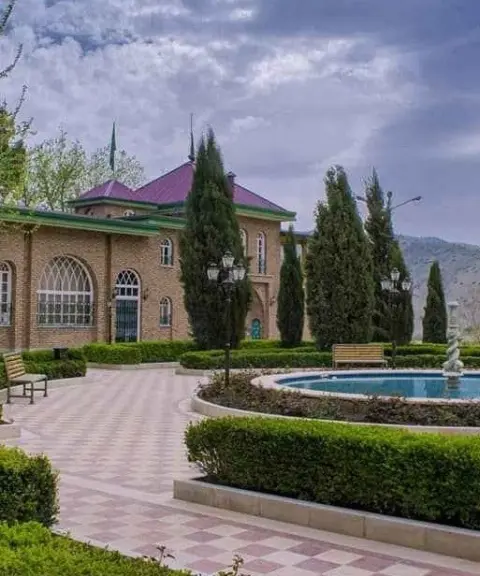

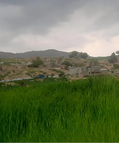
Gerehban Village
Province Kermanshah
- Walking
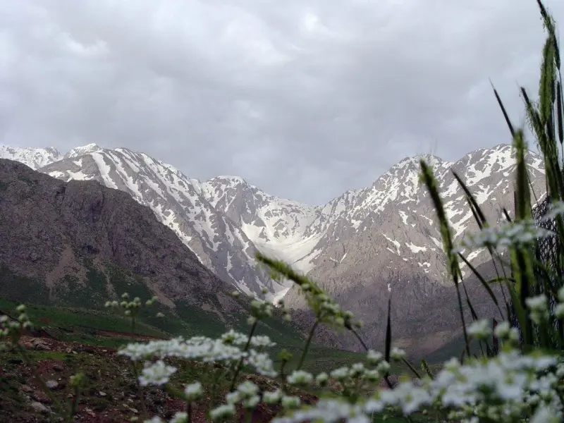
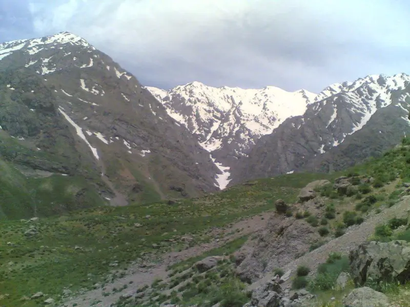
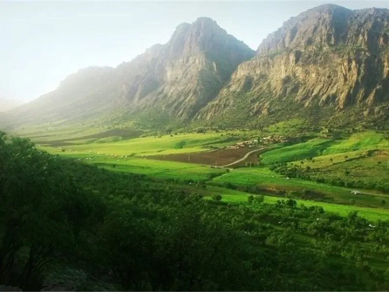
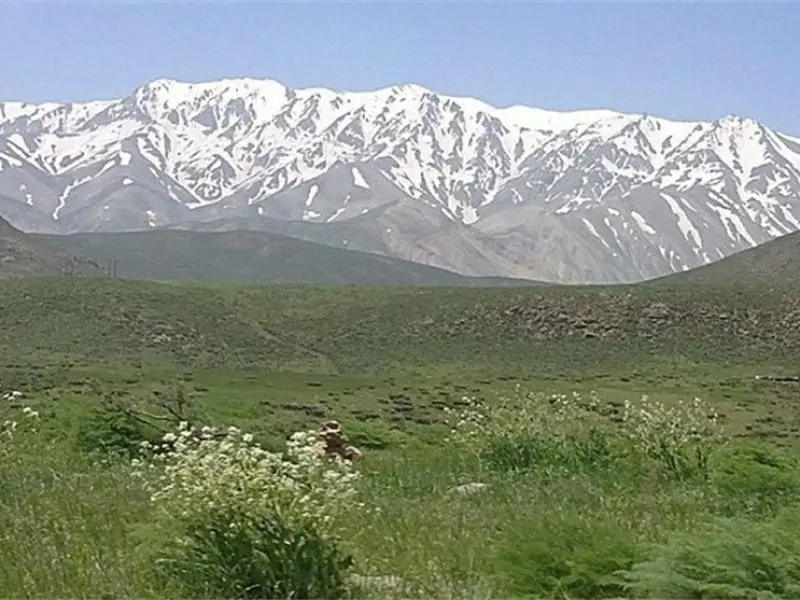
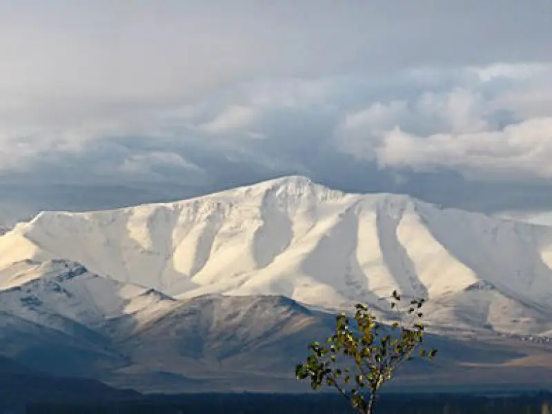
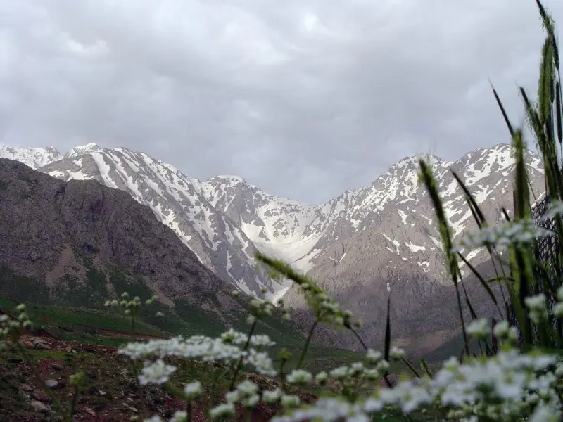
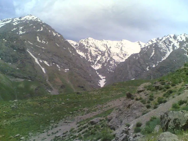
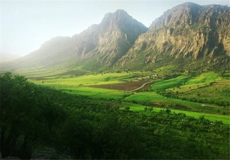
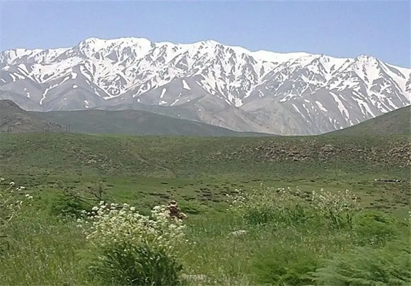
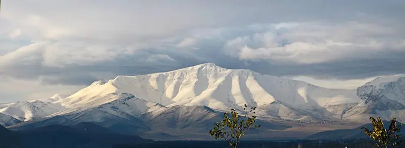
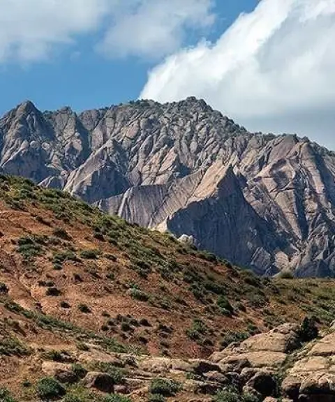
Sefid Kuh is located in Kermanshah Province, Iran. The mountain lies 10 kilometres south of the city of Kermanshah, and its highest peak rises to 2,805 metres. Sefid Kuh is in fact a mountain range that spans both Kermanshah and Lorestan provinces. The western part of the range lies in Kermanshah Province and the eastern part in Lorestan Province, which is why some people call it Sefid Kuh of Kermanshah, while some tourists and climbers know it as Sefid Kuh of Khorramabad, Lorestan. The mountain got its name ("White Mountain") because of its distinctive features, especially the long-lasting snow cover on its summit and slopes.
The best seasons to visit Sefid Kuh in Kermanshah are spring and autumn. In these seasons the weather is cool and mild, and the chance of rain is lower. In spring, Sefid Kuh is covered with wildflowers and offers very beautiful scenery. In autumn, the leaves of the trees turn different colours, creating a captivating view. In winter, Sefid Kuh is covered with snow, and climbing it is difficult and dangerous. In summer, the weather on Sefid Kuh is hot and the chance of rain is high.
Sefid Kuh has a high diversity of plant life. The plant species in this area include oak, hawthorn, wild pistachio and wild almond trees, as well as medicinal plants such as yarrow, thyme (kakuti), borage, fumitory (shatereh) and various grasses. Sefid Kuh is also home to many animal species, including the brown bear, leopard, wolf, fox, jackal, chukar partridge, pigeon, nightingale, falcon, eagle, snake, lizard and tortoise.
Written by ستایش عرب Last updated
What you can do here, and what it takes
مسیرهای پیادهروی متعددی در سفید کوه وجود دارد.
از کفش کوهنوردی استفاده کنید.
میتوانید در مسیرهای خاکی سفید کوه دوچرخه سواری کنید.
Province Kermanshah
Province Kermanshah
Province Kermanshah

Province Lorestan
Province Kermanshah

Unfortunately, no comments have been registered.