
 Mountain
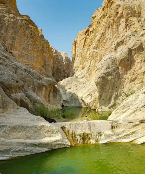

Guylo Gorge
Province Bushehr
- Walking
- Canyoning
- Swimming
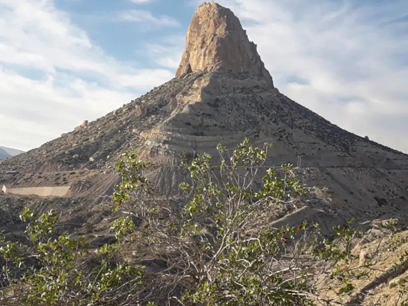
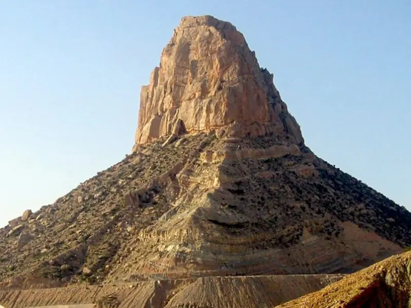
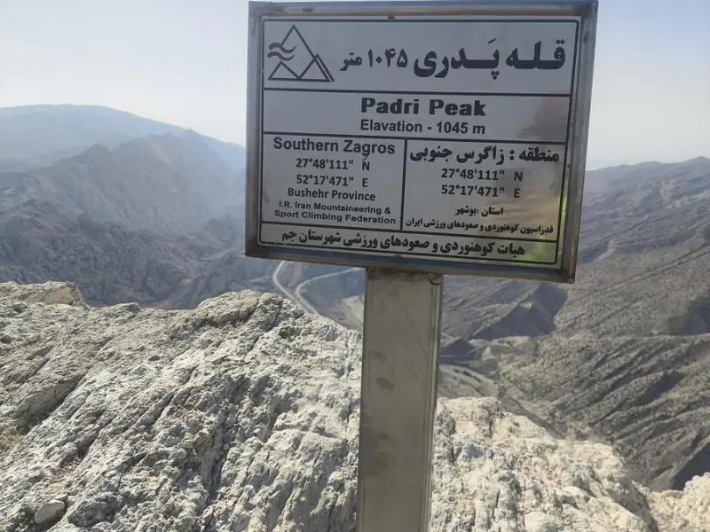
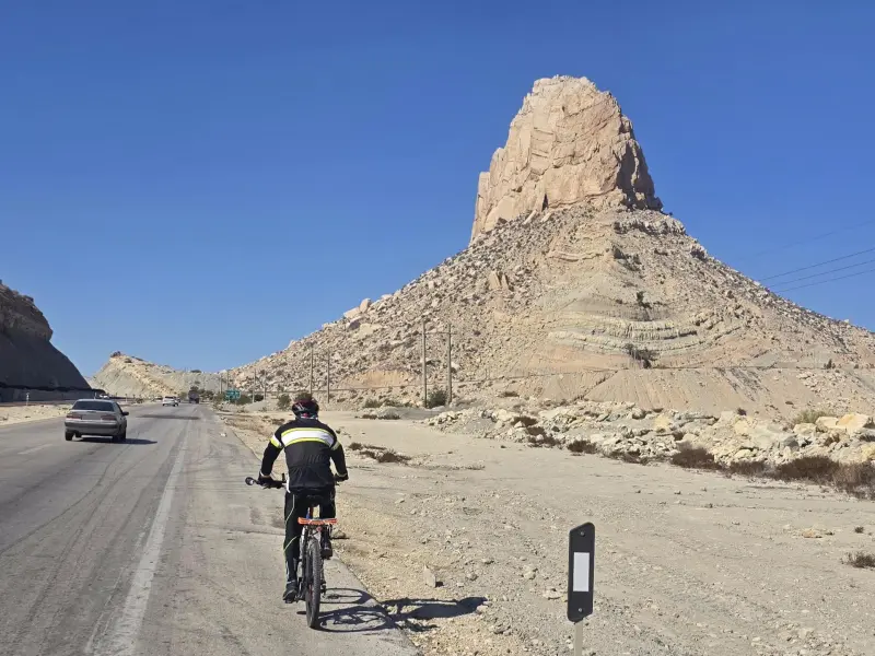
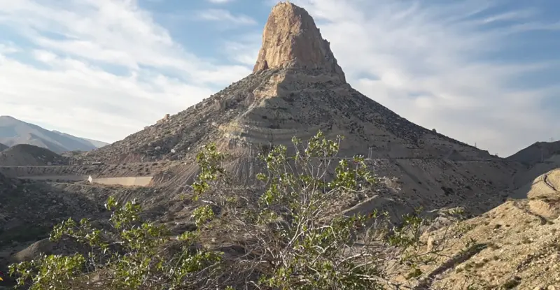
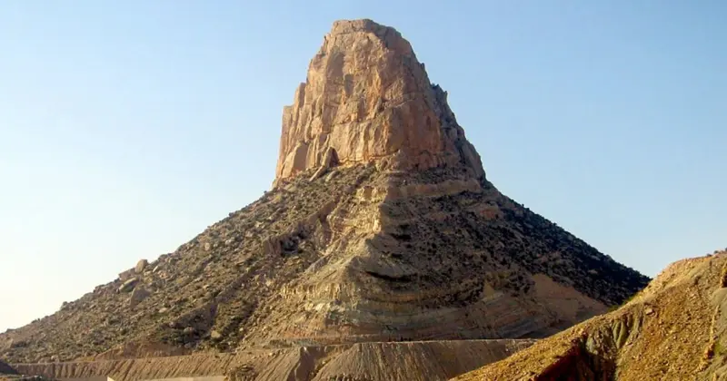
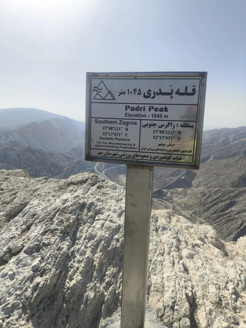
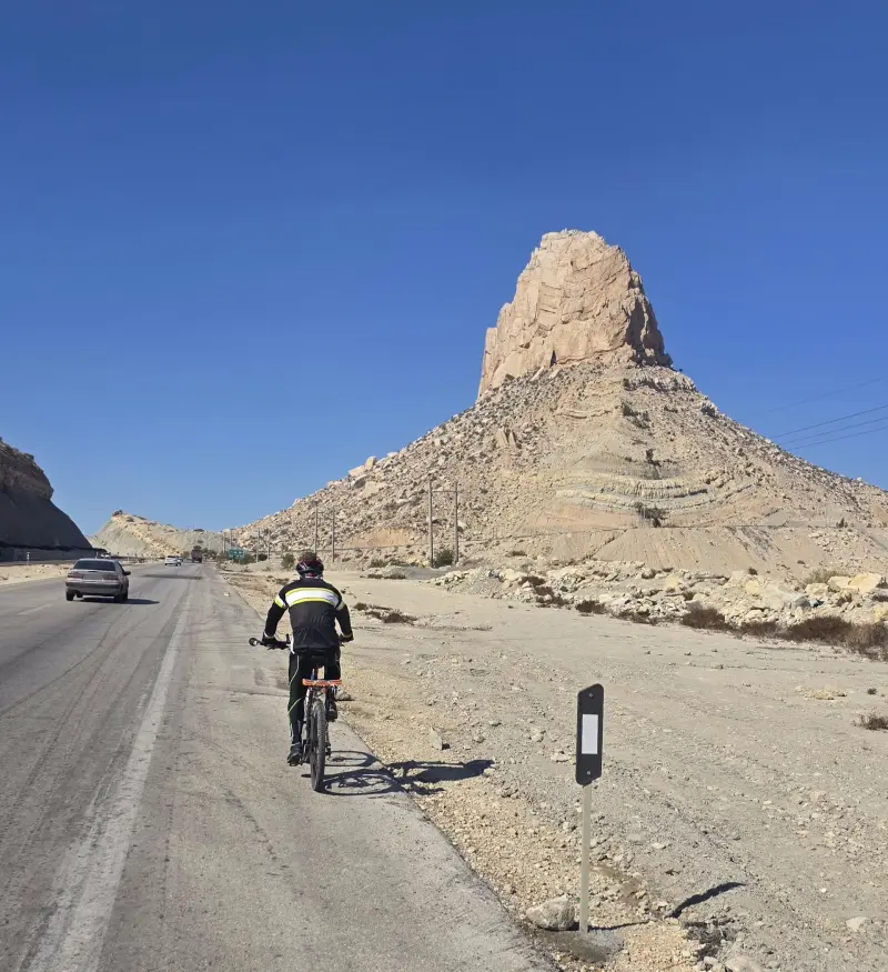
Mount Pardis, also known as Padari or Pardi, is a mountain on the outskirts of Jam County in Bushehr Province, located at the start of the road from Jam to Siraf. Seen from the south, the peak appears conical, and the mountain is lower than some of the neighbouring peaks. The ancient Mount Pardis is surrounded by the Zagros mountain range, and its 10-degree temperature difference from the southern coast gives it a pleasant climate. For those looking for lighter activities, walking on the slopes of Mount Pardis is an excellent option. Mount Pardis has a variety of climbing routes suitable for people of different experience levels. The routes in this area are classified from easy to moderate and difficult.
The mountain's nickname, Padari, is said to be made up of the two words "pad" and "ri", which together mean "guardian of the royal city". Over time, because of its proximity to the town of Jam, it has become known as Mount Pardis of Jam. Some believe that Mount Pardis is the legendary world-revealing cup of Jamshid, because in those days the mountain and its surroundings were used as a mirror for spotting enemy armies. The polished rock walls of the mountain and the reflection of light on them create a mirror-like effect, which strengthens the claim of the world-revealing cup. The presence of fire temples, castles and structures on and around the mountain indicates that Mount Pardis was an important strategic point for the Achaemenids, and that it continued to be regarded as an important area in later periods of history. During the Sasanian and Buyid eras, the mountain was used as a watchtower because of its elevation above sea level.
To reach Mount Padari/Pardis, simply drive from the town of Jam toward Siraf and take the old road. After a few kilometres, signs of the mountain become visible on the right side of the road, and there are gentle footpaths leading to its lower heights. The best time to visit and climb in this area is spring and autumn, when the weather is milder and conditions for nature tourism are better than in the intense heat of summer or the cold of winter. When visiting this semi-arid natural area, responsible nature tourism is essential: do not leave litter behind, respect the local vegetation, and do not leave the marked footpaths, so that this valuable ecosystem is preserved for future visitors.
Written by ستایش عرب Last updated
What you can do here, and what it takes
از کفش کوهنوردی استفاده کنید.
مسیرهای پاکوب ملایم اطراف دامنه کوه پدری امکان کوهپیمایی تفریحی برای گردشگران در فصول معتدل فراهم میکند.
Province Bushehr
Province Bushehr
Province Bushehr


Unfortunately, no comments have been registered.