
 Mountain
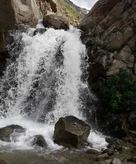

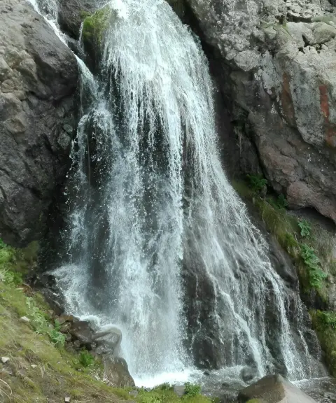
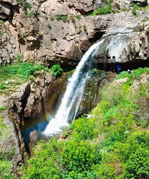
Asb Foroushan Waterfall
Province East Azerbaijan
- Walking
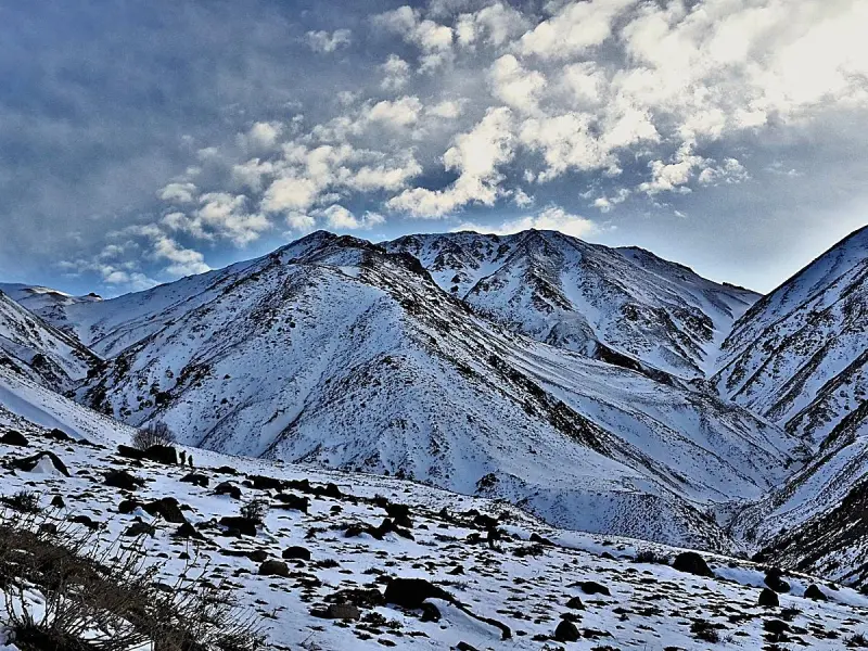
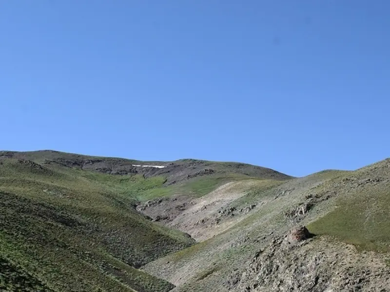
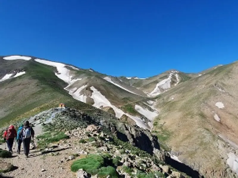
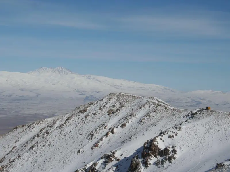
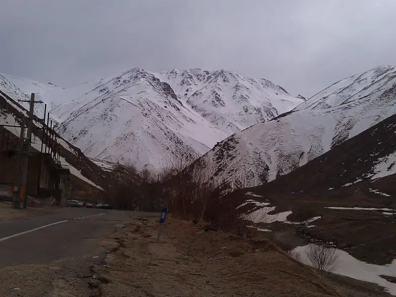
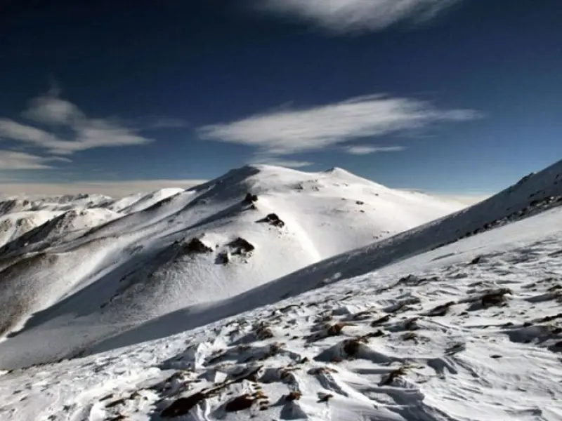
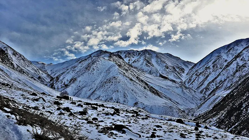
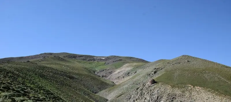
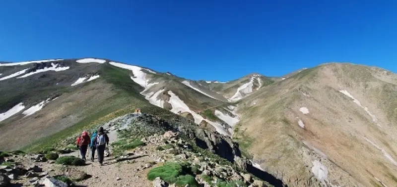
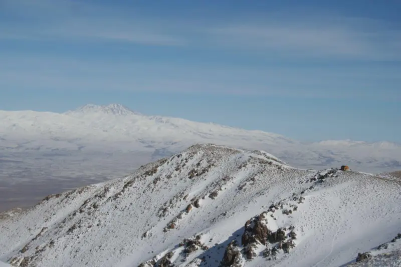
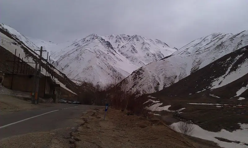
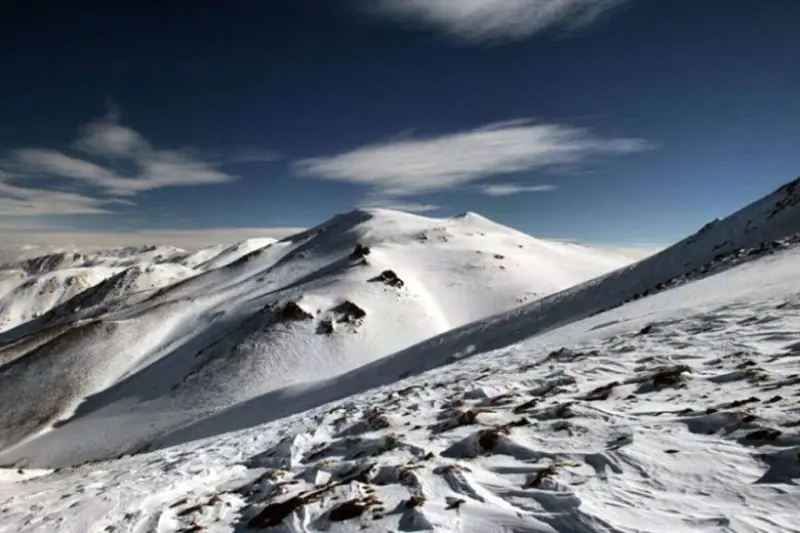
Bozghush (also spelled Bozqush), also known as Mount Bozkesh, is a mountain range running east-west in the south of Sarab County and the north of Mianeh County in East Azerbaijan Province, Iran. The range lies between the Aji Chay and Shahr Chay rivers, and between the counties of Turkmanchay and Sarab. The name Bozghush comes from two Turkic words, "boz", meaning gray, and "ghush", meaning bird, so the name as a whole means "gray bird". Bozghush consists of mountains with gentle slopes, formed of rocks derived from volcanic ash from the volcanic mountains of Sabalan and Sahand.
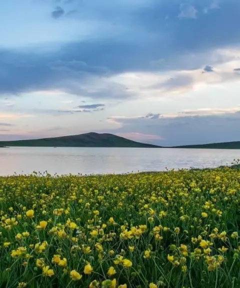
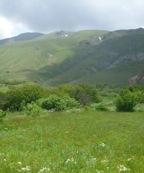
The slopes of Bozghush are covered with beautiful, lush pastures that fill with wildflowers in spring and summer, such as poppies, mountain tulips and a variety of medicinal plants. At higher elevations, the vegetation is limited to cold-resistant species such as milkvetch (gavan), mountain grass and thorny shrubs. On the lower slopes, especially near the surrounding villages, you can see oak, wild pistachio (baneh), walnut and almond trees. The area is home to animals such as wild goats and ibex, Armenian mouflon (rams and ewes), wolves, foxes, brown bears and hyenas. Birds of prey such as golden eagles and vultures, as well as partridges, quails and larks, can be seen in the area.
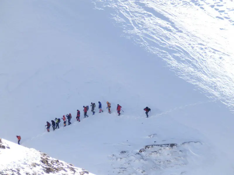
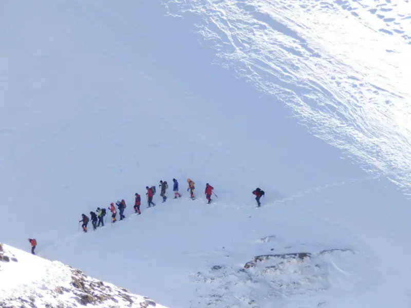
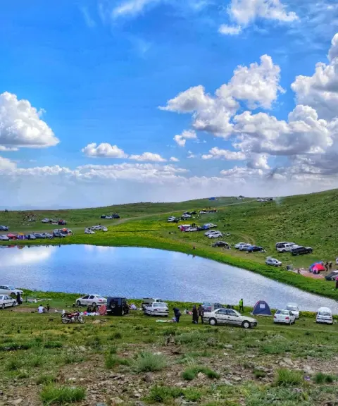
The best time to visit the area is spring and summer, the best seasons for seeing the lush green slopes and the wildflowers. The weather is mild and suitable for mountaineering. At higher elevations the air is cool and pleasant, but on hot days it is better to set out early in the morning or in the afternoon. In winter, the peak is covered with snow and is suitable only for experienced mountaineers with proper equipment. In winter and early spring, there is a risk of avalanches and heavy snowfall.
Written by ستایش عرب Last updated
What you can do here, and what it takes
این قله برای کوهنوردان مبتدی و نیمه حرفهای مناسب است.
دامنههای بزقوش مکان مناسبی برای پیادهروی است.
در فصل سرما، برخی از دامنهها برای اسکی روی برف مناسب هستند.
Province East Azerbaijan
Province East Azerbaijan
Province East Azerbaijan
Province East Azerbaijan
Province East Azerbaijan


Unfortunately, no comments have been registered.