
 Mountain
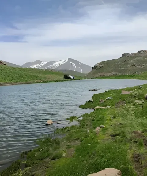

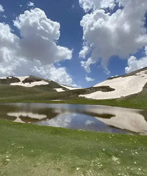
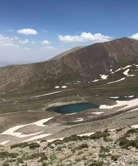
Torpaghlu Lake
Province East Azerbaijan
- Walking
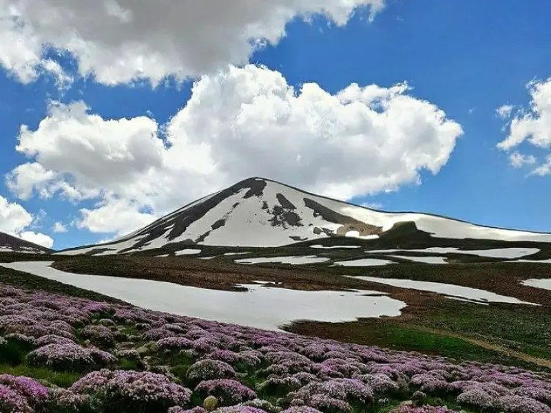
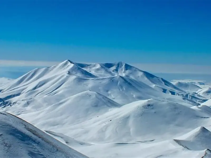
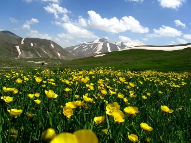
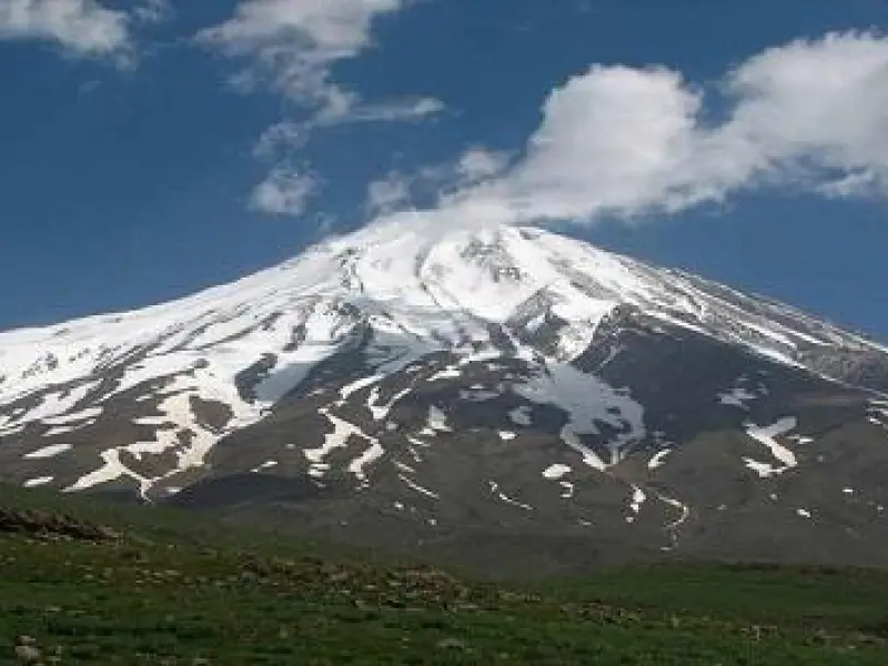
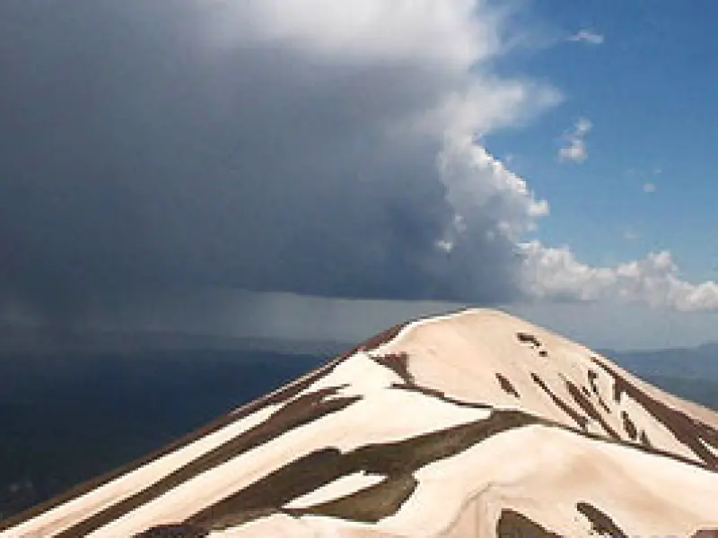
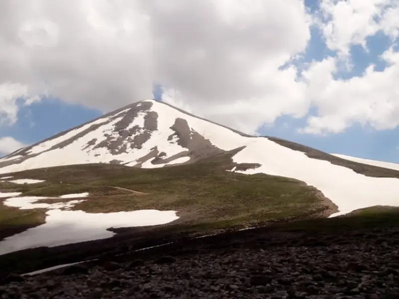
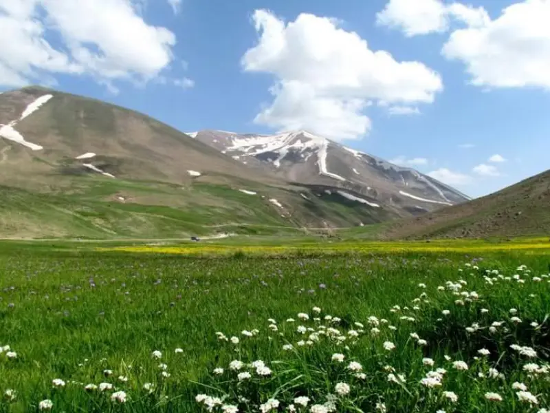
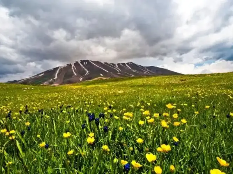
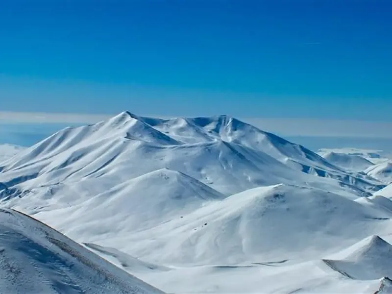
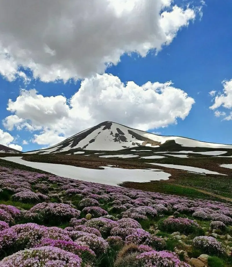
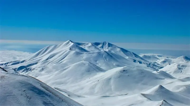
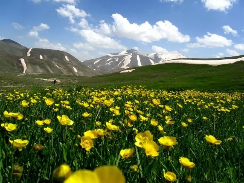
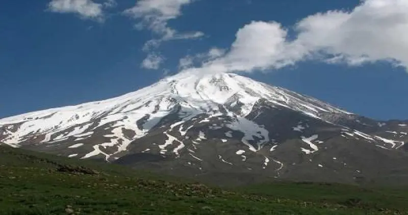
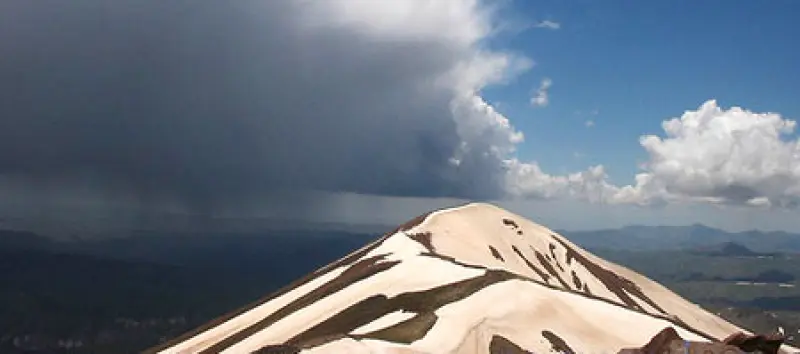
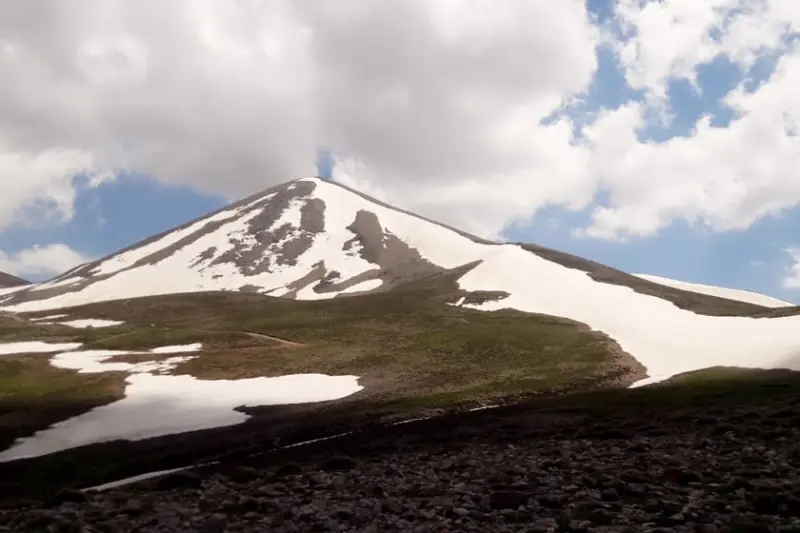
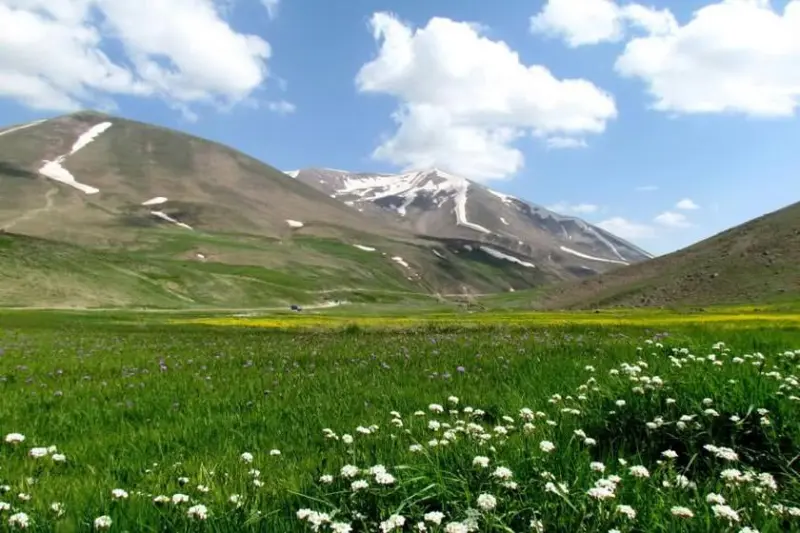
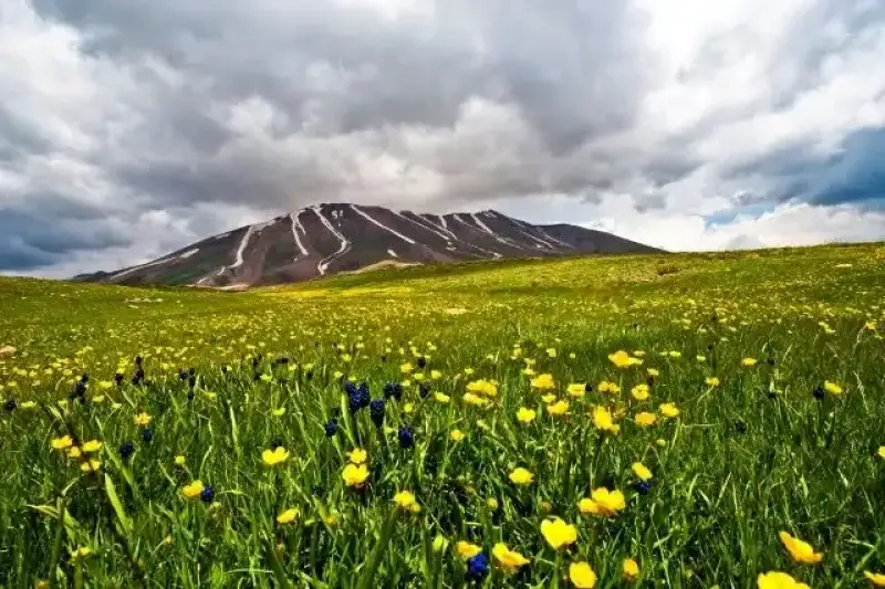
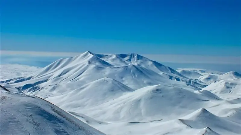
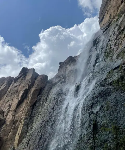
Mount Sahand is one of the largest and most important highlands of Azerbaijan and one of the best-known volcanic mountains in Iran. It lies south of the city of Tabriz, southeast of Ojan (Bostanabad) and north of the city of Maragheh, in the center of East Azerbaijan Province. Unlike other mountain ranges, which have a single isolated summit, the Sahand range has many peaks. It has 17 peaks higher than 3,000 meters, the tallest of which is Kowch-Goli (Kamal) at 3,707 meters, located within Bostanabad County. The mountain is considered part of the Central Range and of the Sahand-Bazman volcanic belt.
The northern peaks all overlook the plains of Tabriz and Bostanabad, while the southern peaks overlook the Maragheh plain. Kamal, Pirgozan, Jam, Sahand, Buz Dagh, Arooneh, Zari Dagh, Buyuk Dagh, Karim Daghi, Liqvan Daghi, Soltan Daghi, Demirli, Agh Dagh, Motal Daghi, Qebleh Daghi, Arshad Daghi, Shir Daghi, Haram Daghi, Giroveh Daghi, Chanaq, Uvu Daghi, Atashan and Darvishlar are considered among the most important peaks of the Sahand range. The beautiful and enchanting Shah Yurdi Valley lies north of Jam Peak. The average elevation of the Sahand range is between 1,400 and 2,200 meters, which points to the cold climate of the region. Long, cold winters are the dominant weather pattern here, and snow can be seen on the summit of Sahand and its neighboring peaks in most months of the year.
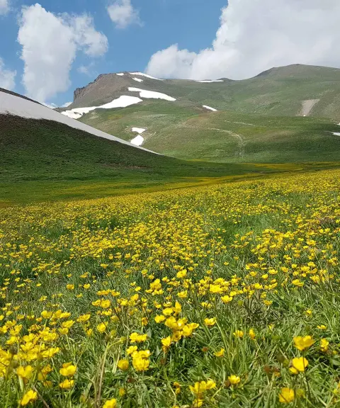
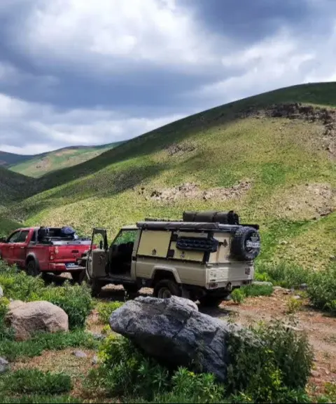
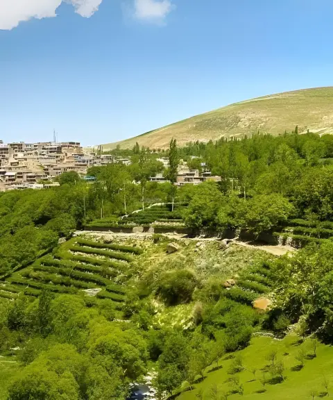
On the slopes of Mount Sahand, beautiful alluvial valleys with villages, orchards and farmland create stunning scenery. Because the weather varies little, many nomads and pastoralists migrate to this region in the suitable season. The handicrafts of the nomads here are very distinctive and famous, including various kinds of jajim, kilim and small rugs that are unique of their kind.
Written by زهرا لنگری Last updated
What you can do here, and what it takes
از کفش و لوازم مخصوص کوهنوردی استفاده کنید.
کفش مناسب کوهنوردی از وسایل ضروری است.
Province East Azerbaijan
Province East Azerbaijan
Province East Azerbaijan
Province East Azerbaijan
Province East Azerbaijan
Province East Azerbaijan


Unfortunately, no comments have been registered.