
 Mountain
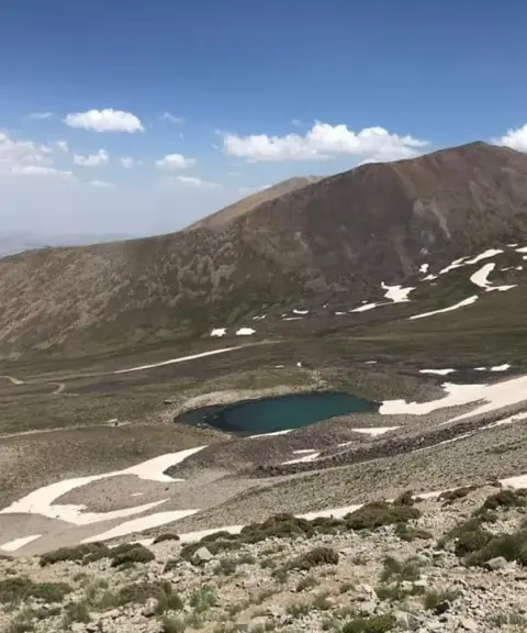

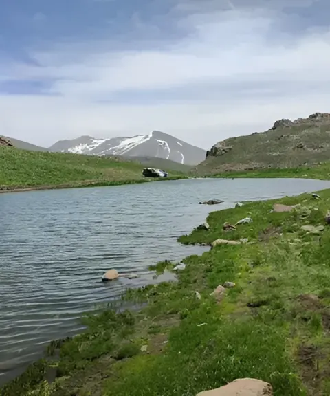
Ghouch Goli Lake
Province East Azerbaijan
- Walking
- Mountaineering
The Roof of East Azerbaijan Province
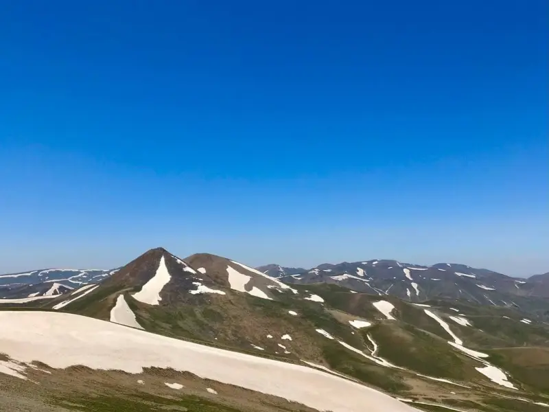
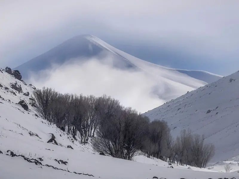
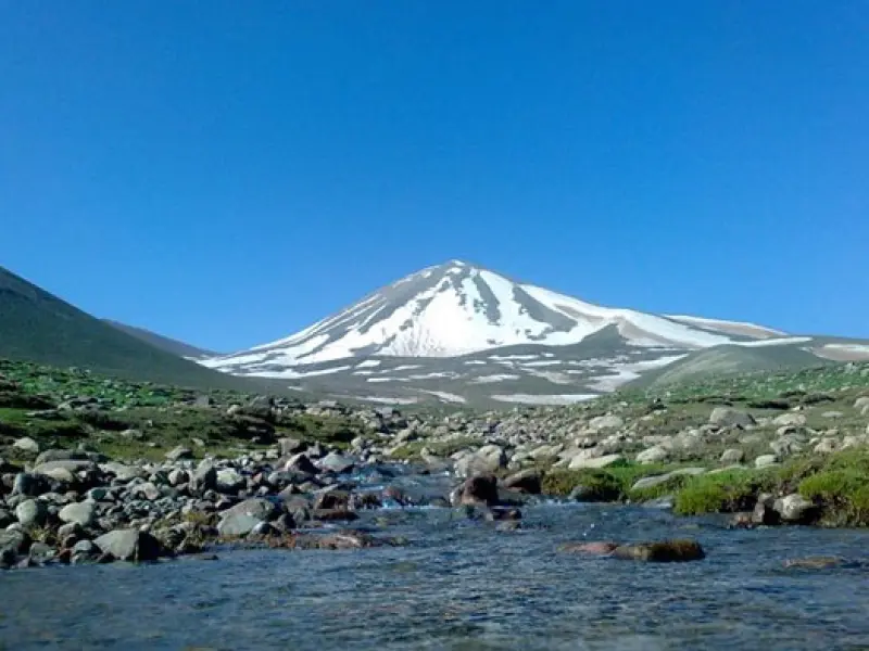
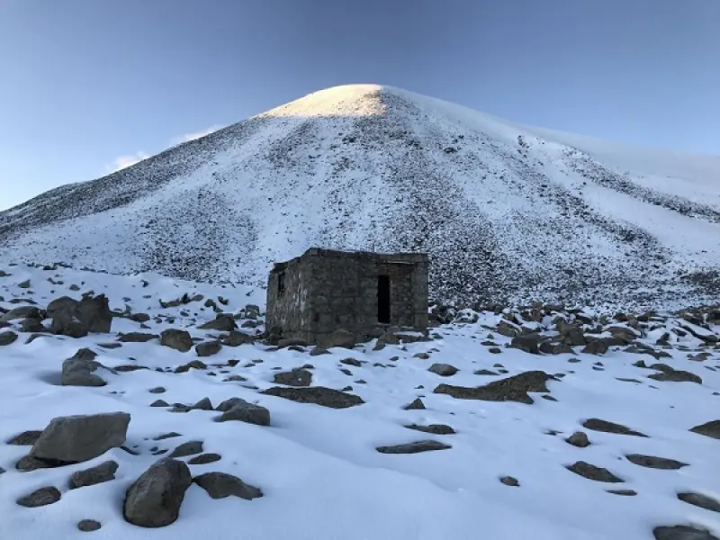
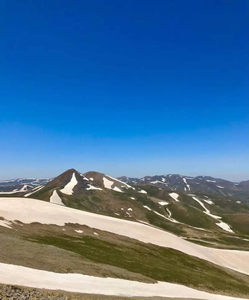
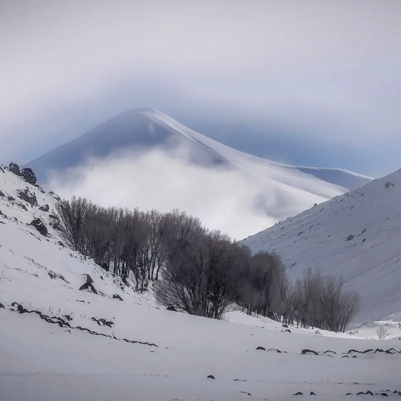
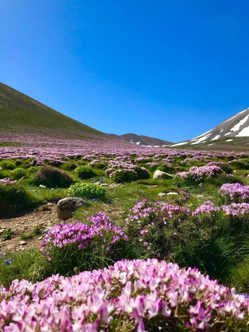
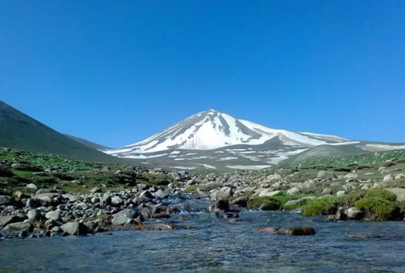
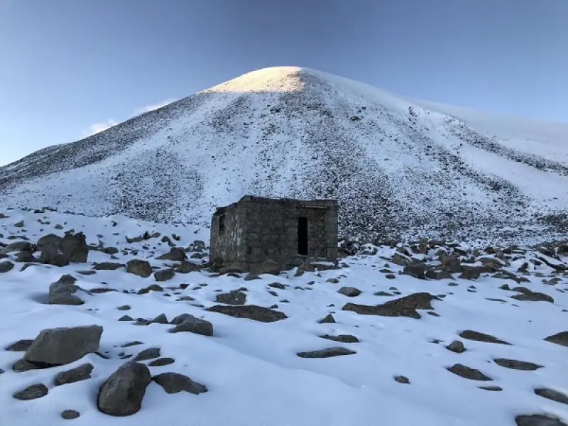
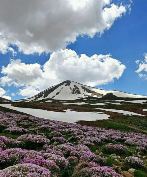
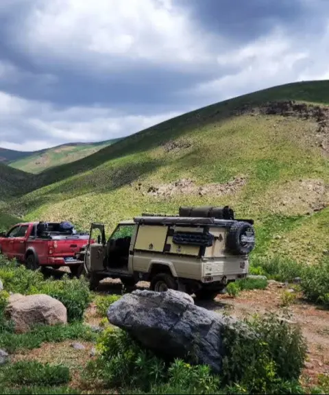
Kamal Peak (Ghoochgoli Dagh), at an elevation of 3,707 meters, is the highest peak of the Sahand mountain range and the highest point in East Azerbaijan Province. It lies within Bostanabad County, south of the famous village of Laqvan and the village of Samar Khazan. The northern slopes of Ghoochgoli descend gently through the Yanough Dagh (Burnt Mountain) range to the Tabriz plain. On the northern flank of Sahand stand Buyuk Dagh, Laqvan Dagh, Barakat Daghi, Demirchi Dagh, Zari Dagh, Alvan Dagh, Motal Dagh and Ghoochgoli Dagh, all overlooking the Tabriz and Bostanabad plains. Kamal, Jam, Sahand, Soltan, Demirli, Agh Dagh, Motal Daghi, Shir Daghi, Haram Daghi, Giro Daghi, Atashan and Darvish are among the most important peaks of the Sahand range.
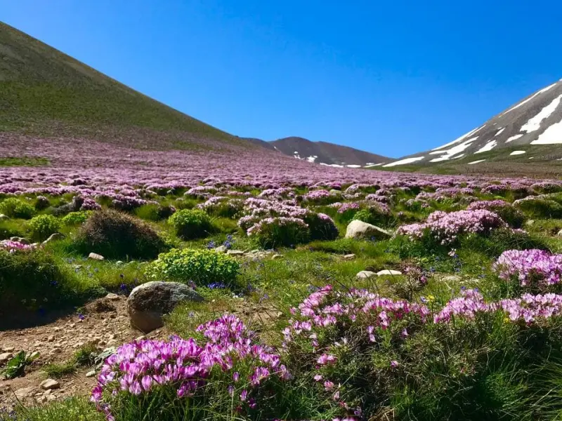
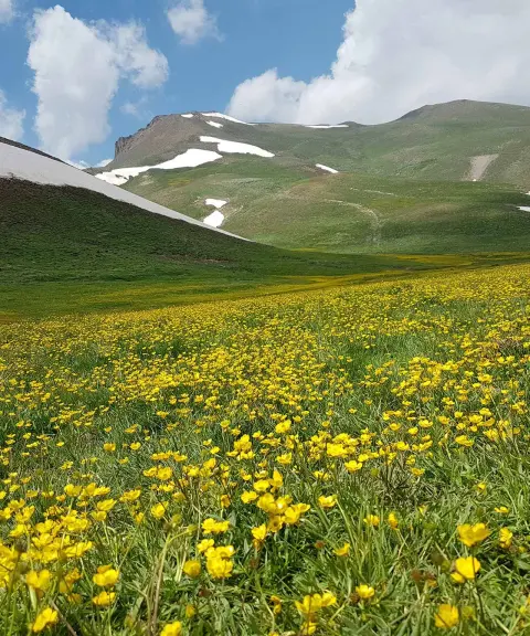
This region is very rich in flora and fauna. You may be interested to know that wheat, barley, watermelon and chickpeas are all grown here as rain-fed crops. Grassy meadows also cover every part of this mountain. In spring and summer, a wide variety of Iran's mountain plants grow here, including extraordinarily beautiful wildflowers. As for the wildlife, wild goats, ibex, wild rams and ewes, and hares are among the animals living in these highlands.
There are several routes to the summit of Kamal Peak, or Ghoochgoli Dagh. Some of these routes are popular among climbers, and most mountaineering clubs prefer to use them. Other routes are less frequented and are mostly used by locals. If you decide to take one of these routes, be sure to hire a local guide. One of the busiest routes to the summit of Ghoochgoli (Kamal Daghi) starts from the village of Samar Khazan. The best time to climb Kamal Peak is from Khordad to Mordad (late May to late August). From Tabriz it can be done as a compressed one-day trip, though allowing a day and a half is better. In general, the ascent takes about seven hours, although this may vary slightly depending on the group and its members' abilities. Note that this is a cold region, and for this reason there are many glaciers at its higher elevations. The climb to Kamal Peak is neither fully technical nor non-technical. In other words, the difficulty of the climb on this route is moderate.
Written by کیانا دهبندی Last updated
What you can do here, and what it takes
حدود هفت ساعت پیمایش و به آمادگی جسمانی نسبتا بالایی نیاز دارد.
Province East Azerbaijan
Province East Azerbaijan
Province East Azerbaijan
Province East Azerbaijan
Province East Azerbaijan


Unfortunately, no comments have been registered.