
 Mountain
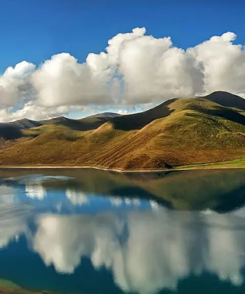

Tami Lake
Province Khuzestan
- Mountaineering
- Rowing
- Walking
- Fishing
- Swimming
- Cycling
- Horse Riding
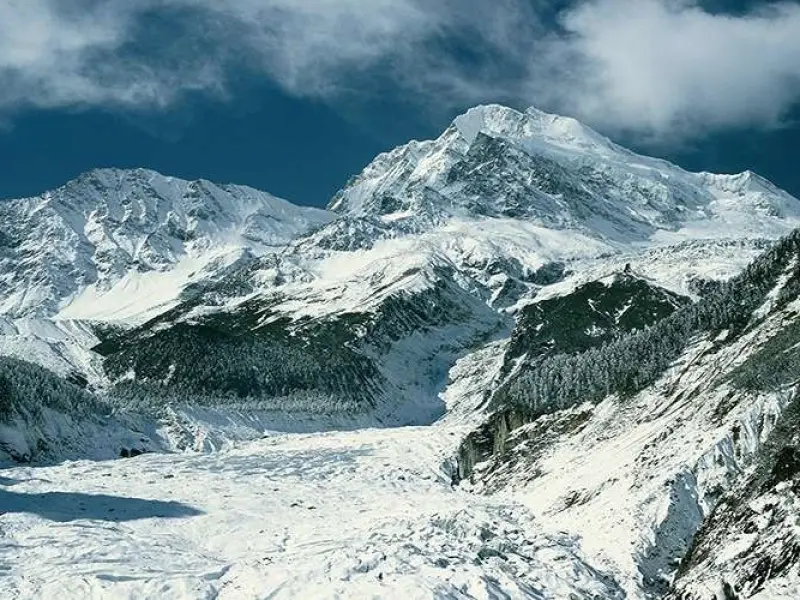
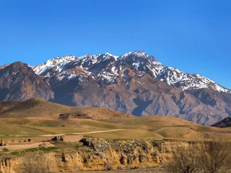
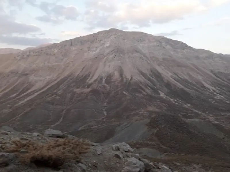
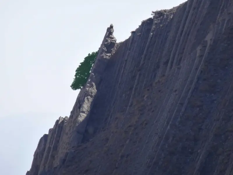
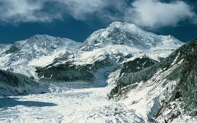
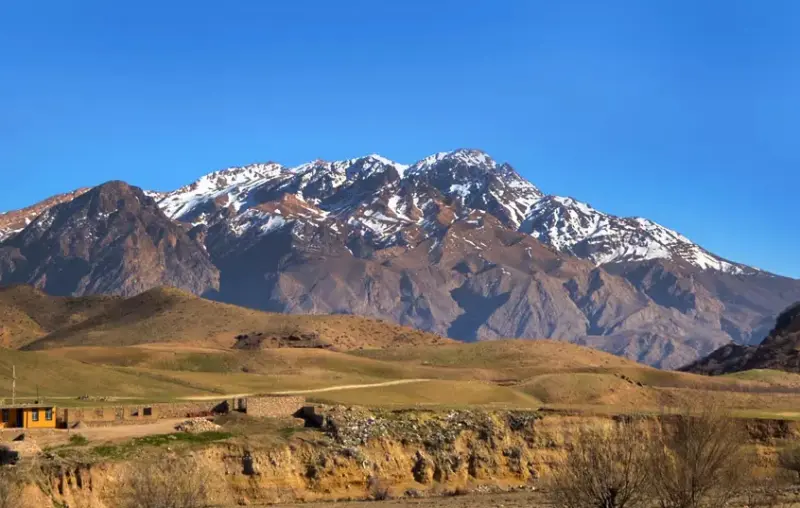
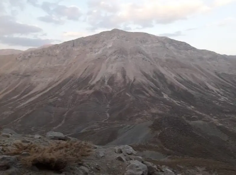
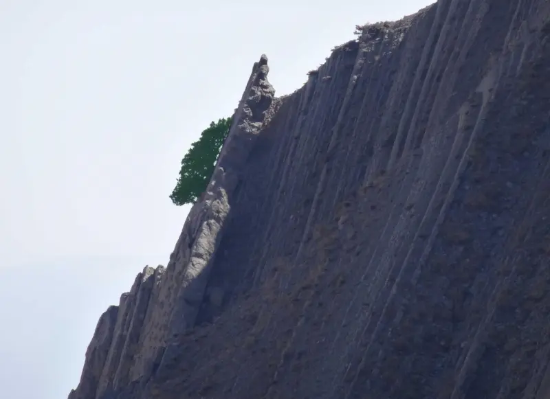
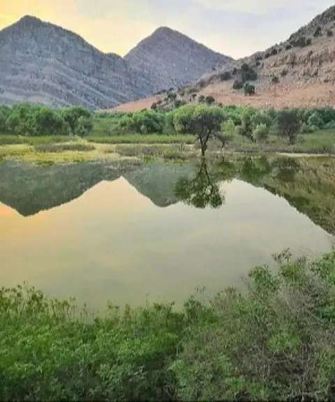
Mount Kino is the highest mountain range in Khuzestan Province. It lies in Andika County, in the Zagros Mountains, on the border between Khuzestan and Chaharmahal and Bakhtiari provinces. Lake Temi, which is fed by snowmelt, lies at the foot of this range. The mountain serves as a summer pasture (yeylaq) for the livestock-herding nomads of the neighbouring provinces, and it is covered with snow all year round. Because of its position, Mount Kino is also a passage for Bakhtiari nomads migrating to their summer or winter pastures. It is one of the snowiest peaks of the central Zagros, and despite its closeness to the hot plains of Khuzestan, it has permanent glaciers and snowfields.
The difficulty of climbing Kino Peak depends on several factors, such as the chosen route, the weather conditions and the climbers' level of physical fitness. In general, there are several routes to the summit. The eastern route, which starts from the Taraz Pass or the village of Labad, is known as the most common and relatively easiest route. The southern route has steep, hard-to-pass slopes and, because of the lack of water along the way, is more difficult. It is best suited to experienced climbers and can take between 12 and 14 hours. The northwestern route is long and exhausting, and it poses many challenges because it requires crossing rivers. This route is also difficult and demands a high level of physical fitness. Overall, the difficulty of climbing Kino Peak can range from moderate to hard, depending on the route chosen and the individual's fitness.
Written by کیانا دهبندی Last updated
What you can do here, and what it takes
سه مسیر مناسب برای کوهنوردی دارد که میتوانید با توجه به آمادگی جسمانی خود مسیر مناسب را انتخاب نمایید.
Province Khuzestan
Province Khuzestan
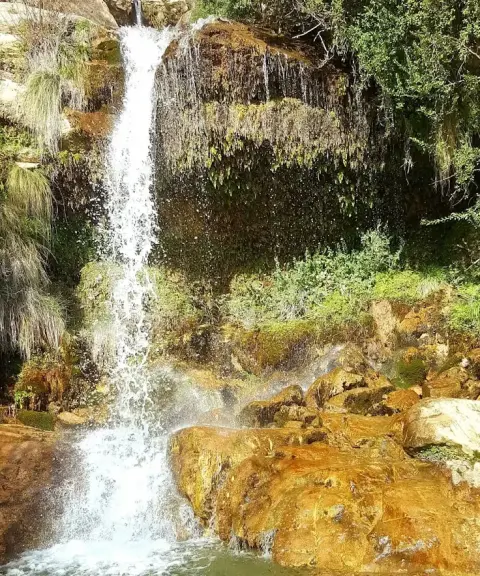
Province Khuzestan
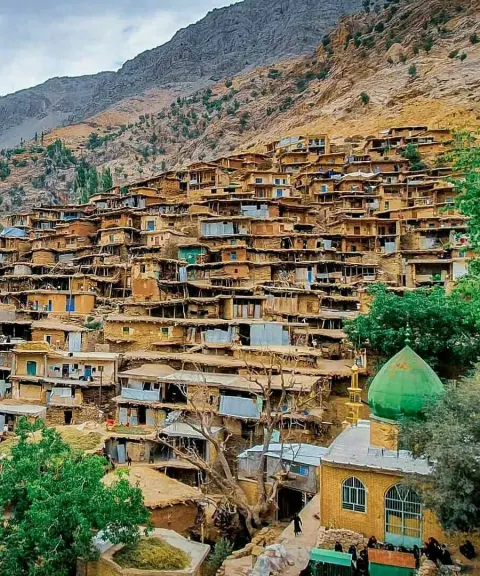
Province Chaharmahal and Bakhtiari
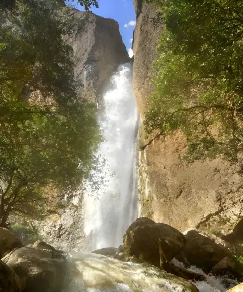
Province Isfahan
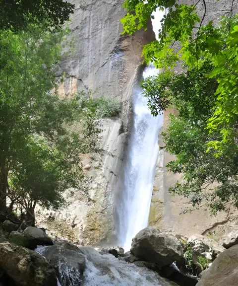
Province Isfahan


Unfortunately, no comments have been registered.