
 Desert (Kavir)
Dagh-e Patergan
A Symbol of the Desert and Ancient History in South Khorasan
- Desert (Kavir)
- South Khorasan, Qaen
- Altitude 626 m
- Ability level Beginner
Ability level:
Beginner
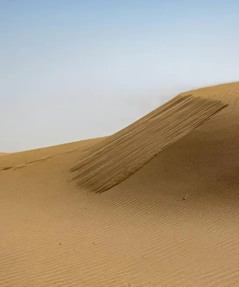
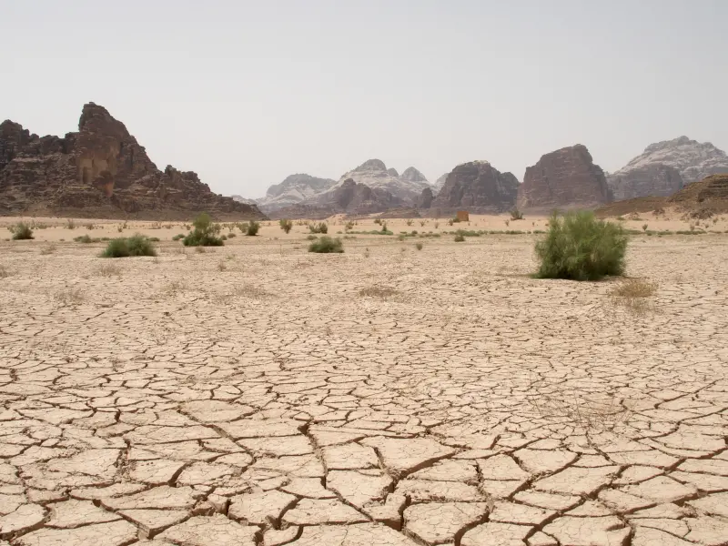
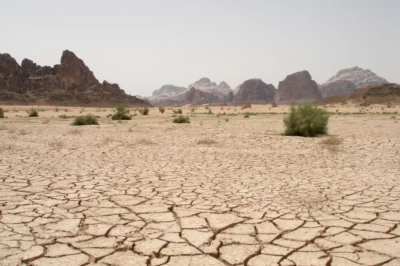
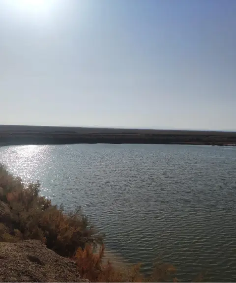
Dagh-e Patergan is one of the most remarkable desert and playa plains in Iran. It lies in the east of South Khorasan Province, on the border between Iran and Afghanistan. It is essentially an evaporation basin and the natural drainage point for the surface networks of eastern South Khorasan, and most of it lies within Iranian territory. It is the product of millions of years of erosion, sedimentation and evaporation in the closed basins of the Neogene period. Because of its distinctive geomorphology, it has great geological, ecological and tourism value. Dagh-e Patergan acts as the natural drain for all the surface networks of eastern South Khorasan, and all running and seasonal water from the highlands of Birjand, Sarbisheh and Zirkuh flows into it. As a result, a vast expanse of land is covered with salt crystals and white evaporite layers, and in the rainy season it turns into a shallow lake.
Vegetation in this area is very sparse and limited, but along the margins grow shrubs such as saxaul (taghe), tamarisk (gaz) and eskanbil. As wind-blown sands shift, they form small sand dunes and create a striking landscape in the Patergan desert. Because the groundwater table is high, shallow hand-dug wells have been made in some places for livestock and for watering animals, but their water is salty and unusable for humans. In addition, when it rains the surface of the dagh is covered with very sticky mud, and moving across it is dangerous. In wet seasons the water rises over a radius of several kilometres, and the surrounding villages and roads are exposed to the threat of flooding and sediment deposition. The dagh lies at an elevation of about 610 metres above sea level, east of Zirkuh, and a large part of it is in Iran. Its area is reported to exceed 2,125 square kilometres, and parts of it extend into Afghanistan. With its spread of salt deposits, its flat, level surface and its unique geological features, Dagh-e Patergan is of interest to anyone who loves desert landscapes and desert phenomena.
Dagh-e Patergan is also important historically and geologically. Footprints of large prehistoric animals, about 50 million years old, have been discovered in this area, showing that the region was once a marshy, water-rich land. The route to Dagh-e Patergan starts from the city of Qaen, heading east on the Gazik–Patergan road. After passing through the villages along the way, a dirt road leads to the dagh and allows vehicles to stop at its western edge, from where you continue on foot. A visit involves about 1.5 to 2 kilometres of easy walking, and along the way you can see small sand dunes, salt crystals, cracks in the ground surface and the reflection of light on the salt flat. The best time to visit is late winter to early spring (to see the lake-like view) or early autumn (for photographing the salt flat). The visual features of the area include the white of the salt and cracked earth, the reflection of the sky and clouds, total silence and an open horizon, which make it one of the best places in eastern Iran for night photography and stargazing.
Written by زهرا لنگری Last updated
Activities
What you can do here, and what it takes
-
Walking
زمینهای مسطح و گسترده دق برای پیادهروی طبیعی و تجربه کویرنوردی علاقهمندان مناسب است.
Specifications
Introduction of the location and specifications of Dagh-e Patergan
Location:
South Khorasan, Qaen
Coordinates:
33.45034011, 60.61675366
Open in maps
Height above mean sea:
626 meter
Floras:
Deserts and Dry Shrublands
Faunas:
Presence of Allergenic Insects
Transports:
Private car, Walking, Minibus, Bus
Tourist Attractions in Qaen
Attractions that are nearby

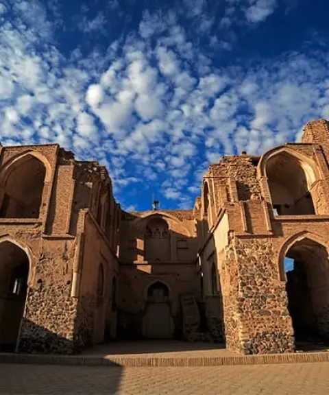
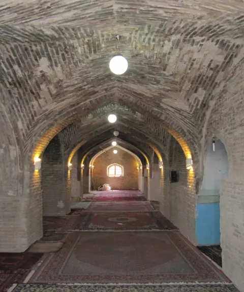
Afin Jame Mosque
Province South Khorasan
- Walking
A single-iwan architectural masterpiece of the Timurid era in South Khorasan
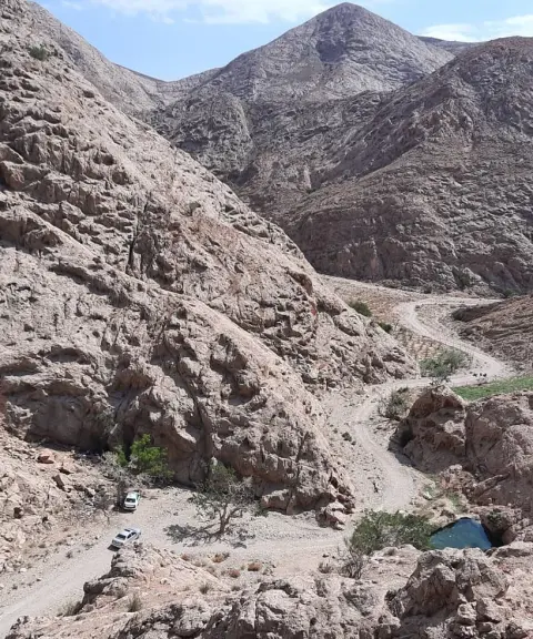
Hendovalan Jame Mosque
Province South Khorasan
- Walking
A Gem of Timurid Architecture in South Khorasan

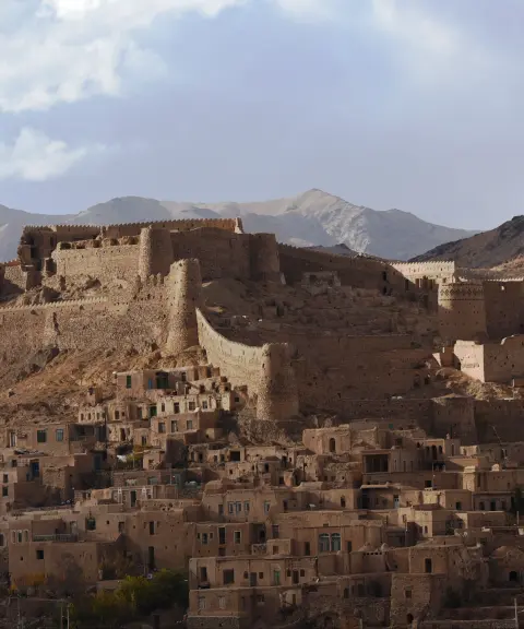
Shasku and Esfeden Protected Area
Province South Khorasan
- Walking
A valuable expanse of biodiversity in the desert lands of eastern Iran


Mazanabad Wetland
Province Razavi Khorasan
- Walking
Habitat of rare birds in the heart of the Khaf plains
Darmian and Sarbisheh Protected Area
Province South Khorasan
- Walking
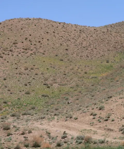
A pristine wildlife gem in eastern Iran
Related tags:
Unfortunately, no comments have been registered.