
 Attractions
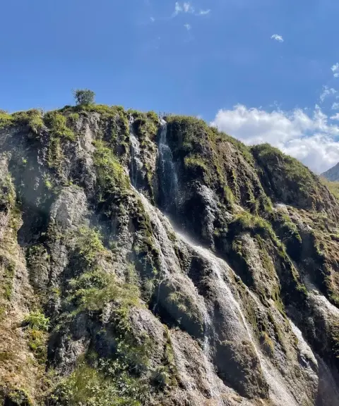

Derasaleh Waterfall
Province Mazandaran
- Walking
- Swimming
- Fishing
The Lost Paradise of Savadkuh in the Green Heights of the Alborz
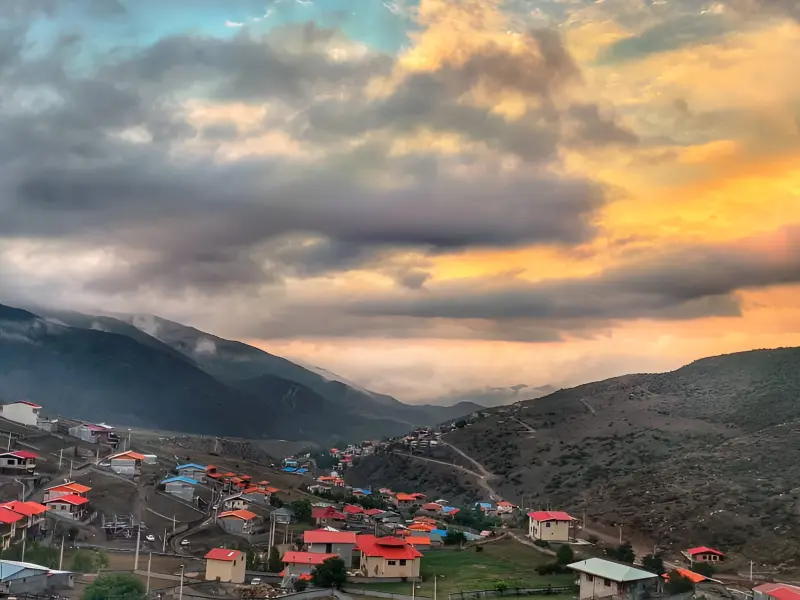
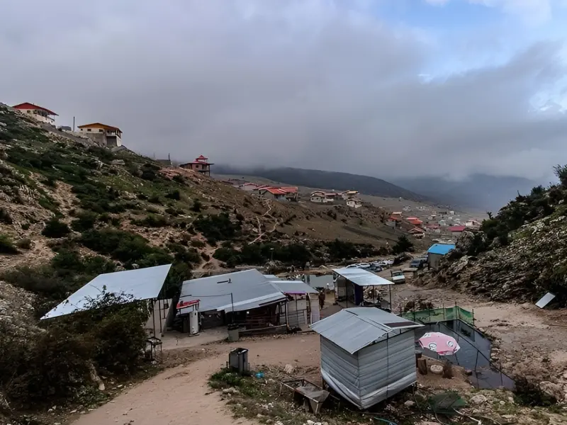
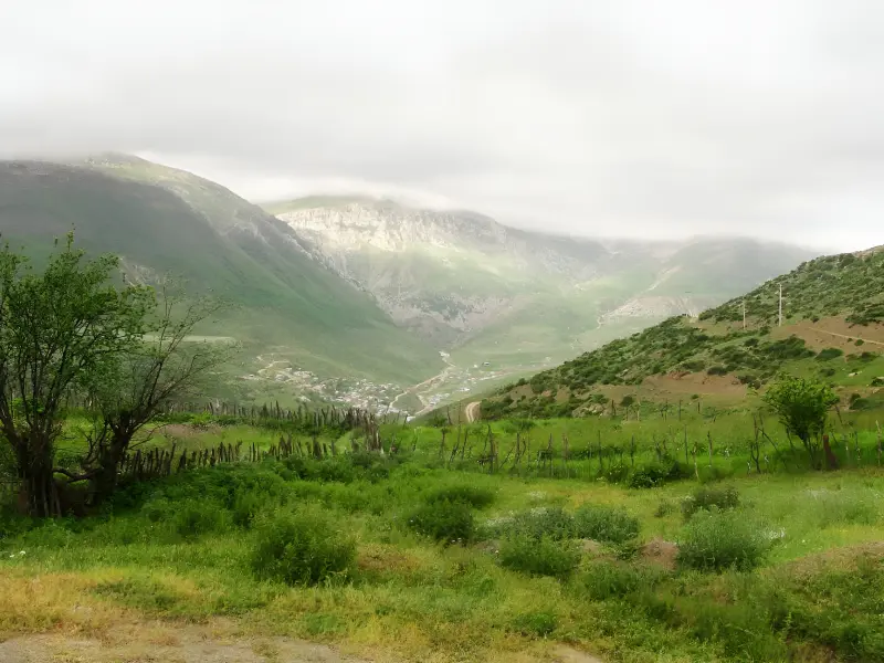
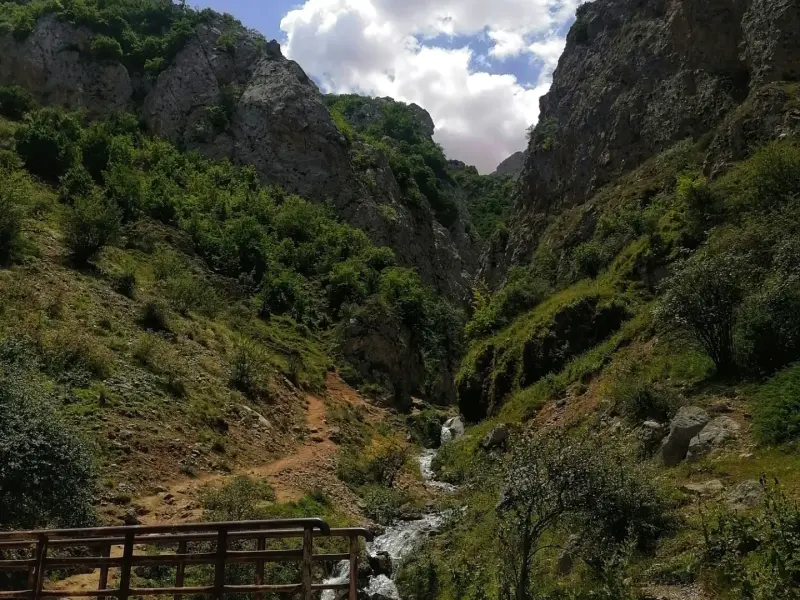
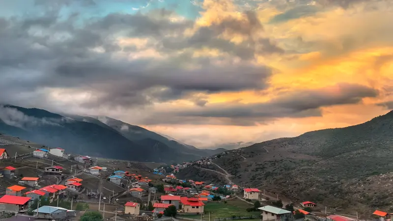
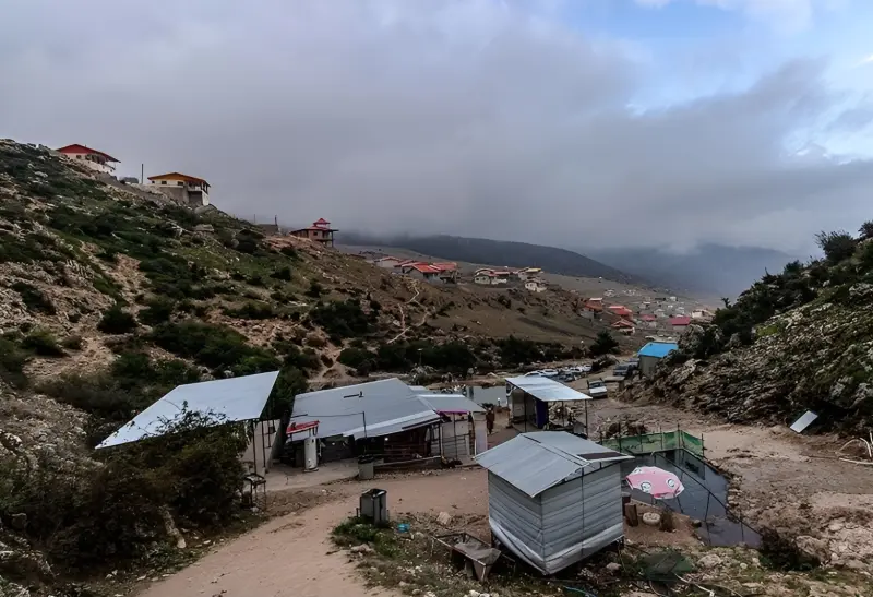
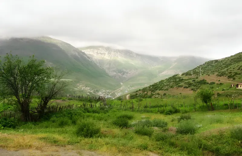
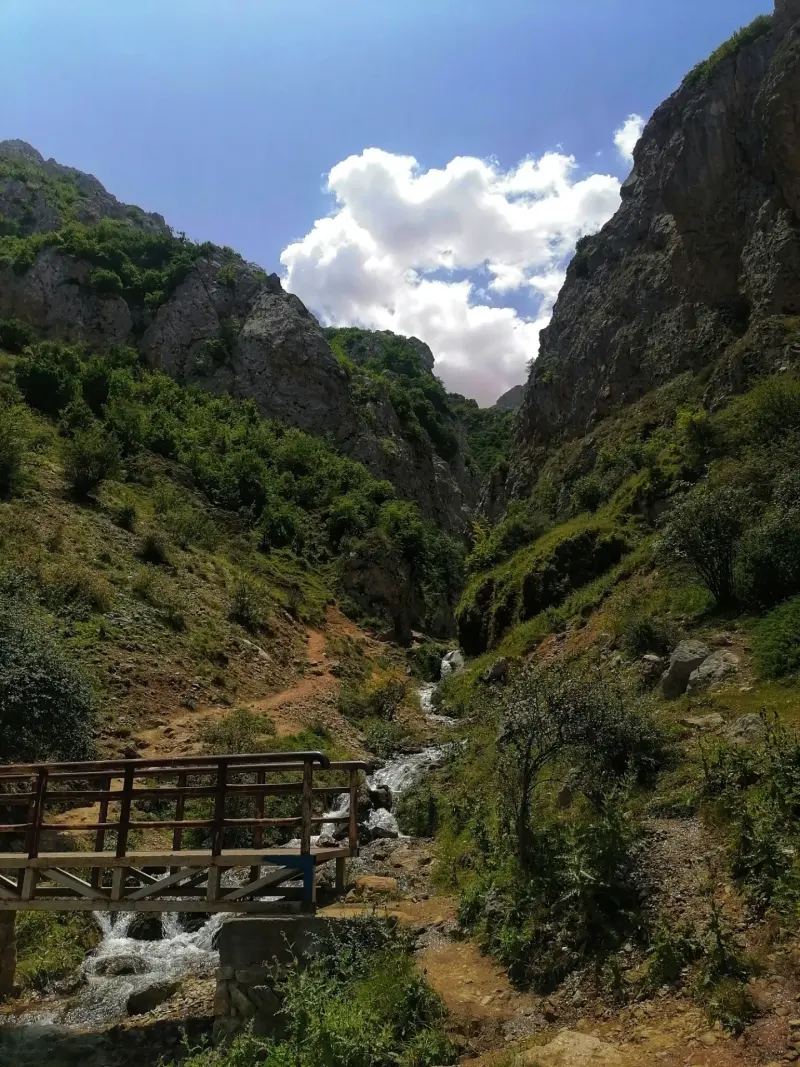
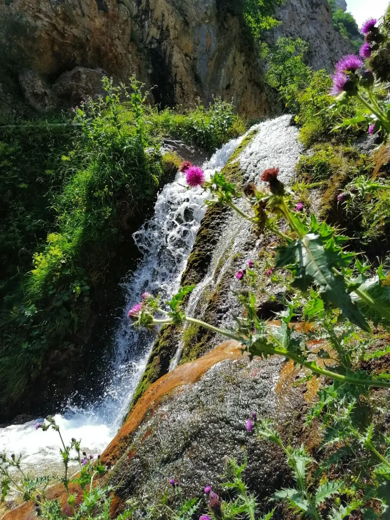
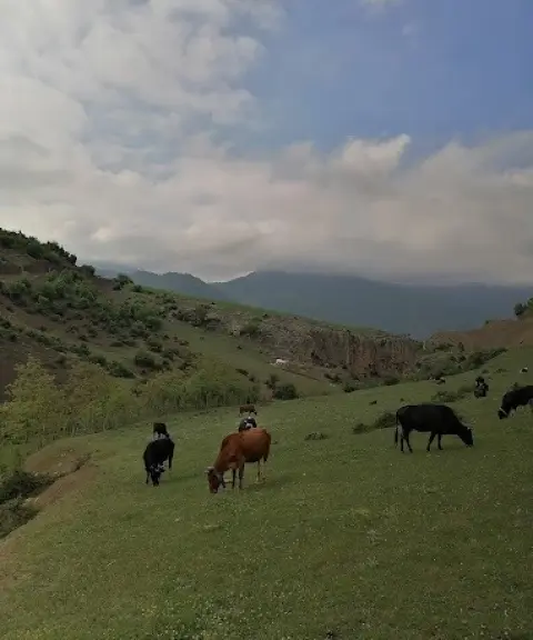
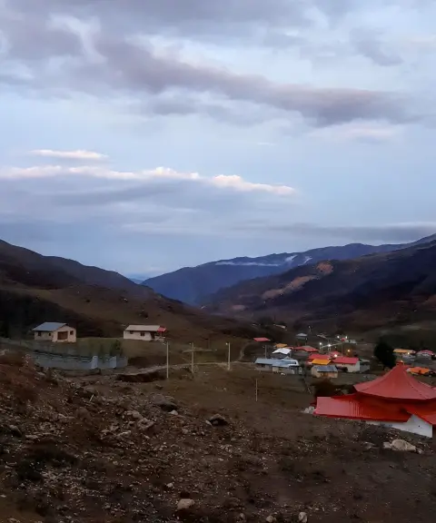
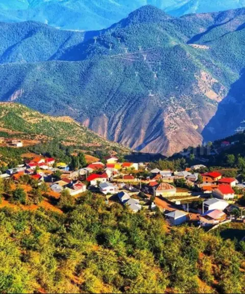
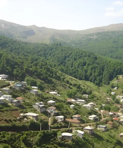
Derasaleh is a little-known summer pasture village in Savadkuh County, Mazandaran Province. It lies in the highlands of Valupey Rural District. About 40 to 45 kilometres from the city of Zirab, the village sits at the end of a beautiful valley called Shesh Rudbar, and its mountain location gives it a cool, pleasant climate. With views of wide meadows, high mountains and unspoiled nature, Derasaleh is one of the most attractive nature-tourism destinations in northern Iran. The old name of the area was "Dersara", meaning "precious land", which over time changed to Derasaleh. Many travellers still know it today as the "Lost Paradise".
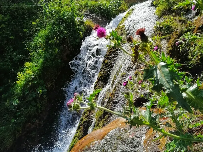
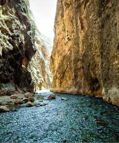
As for tourist attractions, Derasaleh's abundant springs, small and large waterfalls and lush pastures make it an ideal setting for nature tourism. Derasaleh Waterfall, about two kilometres from the village, is one of the area's most important sights, and its clear, plentiful water adds a stunning touch to the surrounding landscape. The village also has a notable history: the discovery of multi-storey tombs around it points to the age of the area and to a considerable population in the past. It is said that during the Qajar era the village was a resting place of Naser al-Din Shah, and the founding of traditional pahlavani wrestling in this area is even attributed to him. Derasaleh's local economy is based mainly on livestock farming, and the abundance of pastures and water sources provides favourable conditions for it.
To reach Derasaleh, first travel to Savadkuh County and the city of Zirab, then turn onto the Alasht road opposite the Zirab traffic police station. Continue until you reach the Lalehband fork, then take the road leading to Derasaleh. The final section is about 15 kilometres of dirt road passing through scenic natural landscapes. The best time to visit the village is spring and summer, when the countryside is at its greenest and the cool air, especially in summer, is very pleasant. When travelling to Derasaleh, it is essential to follow the principles of responsible nature tourism, including keeping the environment clean, avoiding damage to natural resources and respecting the lifestyle of the locals, so that this unspoiled nature stays untouched.
Written by ستایش عرب Last updated
What you can do here, and what it takes
مسیرهای کوهستانی و پاکوبهای اطراف روستا، امکان پیادهروی در دل طبیعت بکر را فراهم میکنند.
Province Mazandaran
Province Mazandaran
Province Mazandaran
Province Mazandaran
Province Mazandaran
Province Mazandaran


Unfortunately, no comments have been registered.