
 Gorge
- Ability level Beginner
- Routes 1 recorded route
Ability level:
Beginner
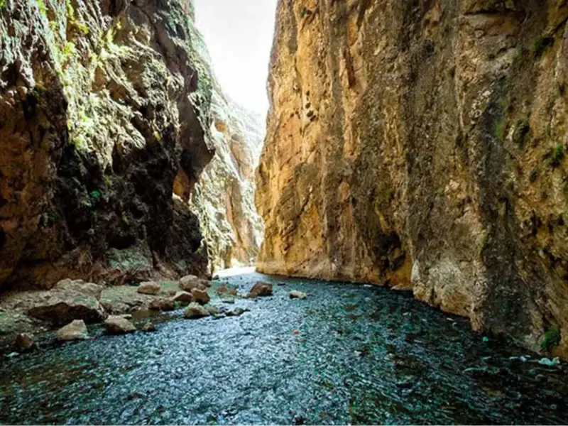
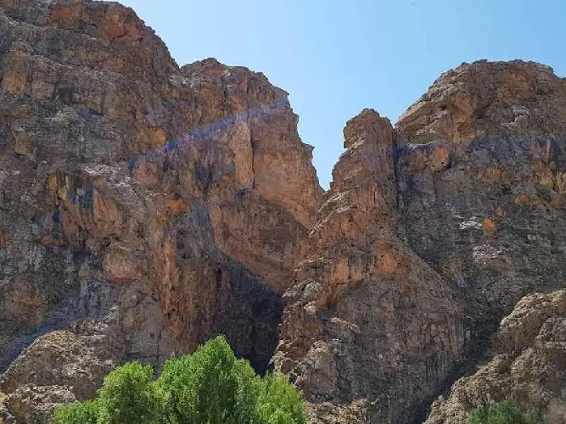
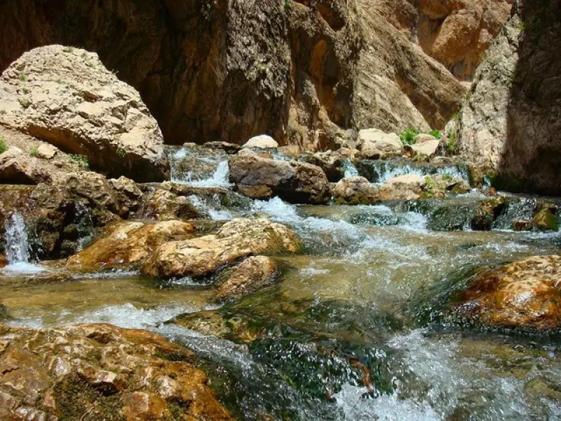
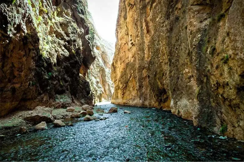
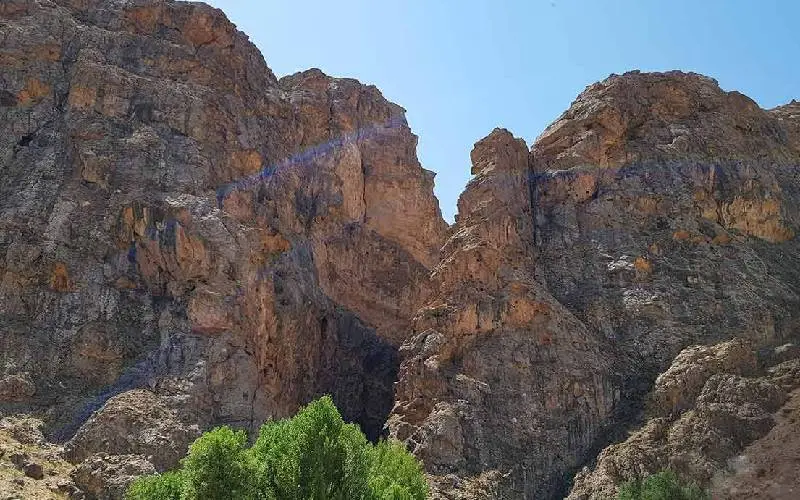
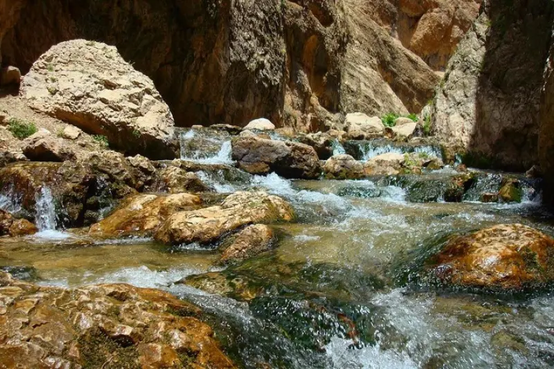
Vashi Gorge lies about 20 kilometers from Firuzkuh. At kilometer 2 of the Firuzkuh–Tehran road, a side road leads to the village of Jelizjand. Located 10 kilometers along this side road, the village is the gateway to Vashi Gorge. Vashi Gorge, also known as Savashi Gorge, can also be reached from the Haraz Road, behind the Vana Tunnel. In the Mazandarani language, the word "vash" means grass or lawn, so Vashi Gorge means a gorge with a grassy meadow.
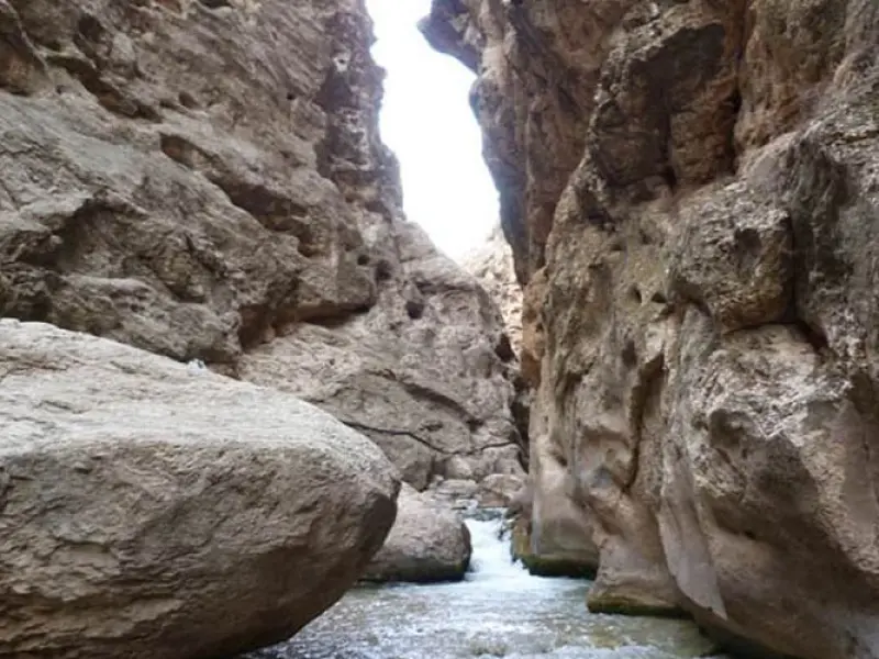
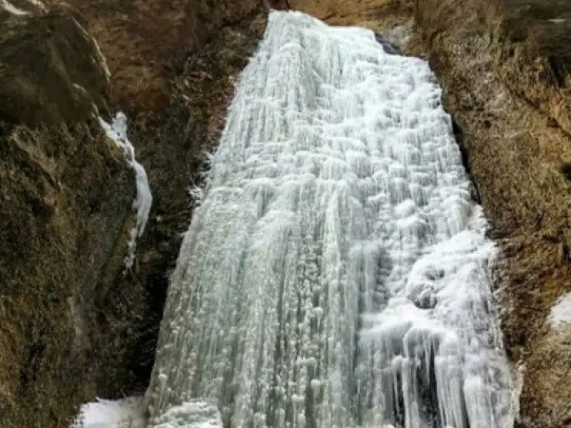
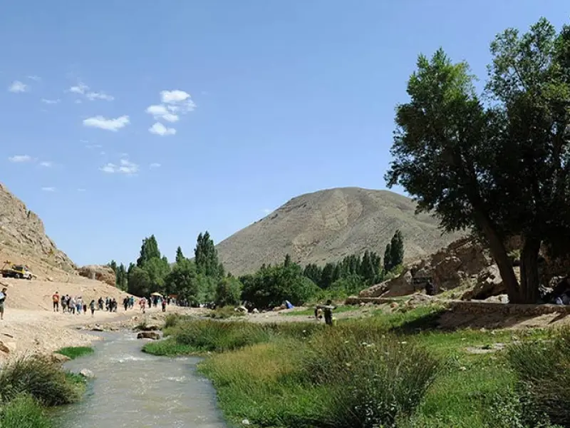
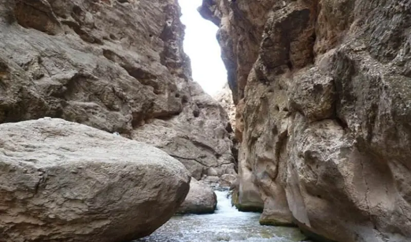
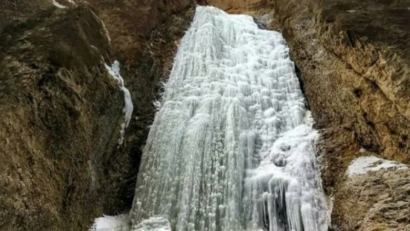
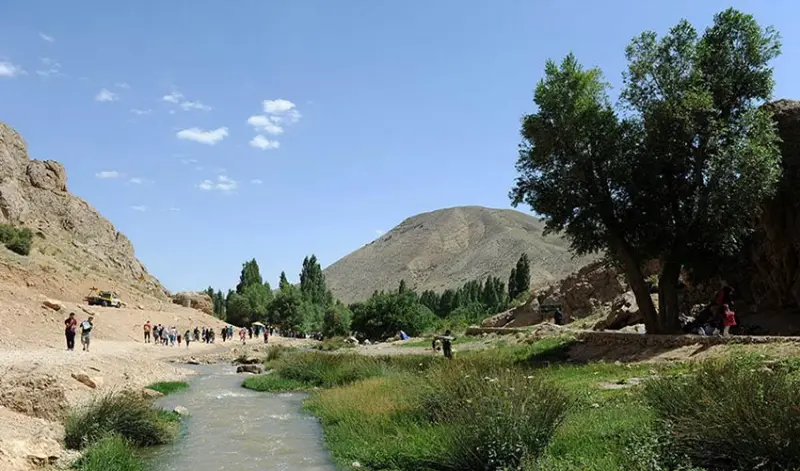
The site consists of two gorges: the first is known as "Vashi" and the second as "Sa". At the end of the second gorge there is a 15-meter waterfall. The hiking route from the start of the first gorge is divided into three sections. The first section runs from the first gorge to the beginning of the Savashi meadow (about 250 meters). The second is the walk across the Savashi meadow (about 1,700 meters). The third is the route through the second gorge to the waterfall (about 800 meters). After passing through the village and driving 4.5 kilometers along a road built across the meadow and beside water channels, you reach the starting point of the Savashi Gorge hike.
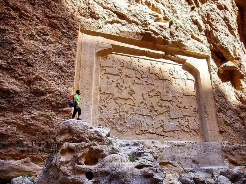
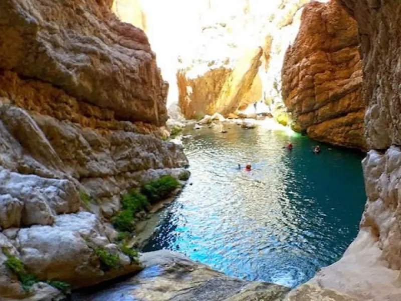
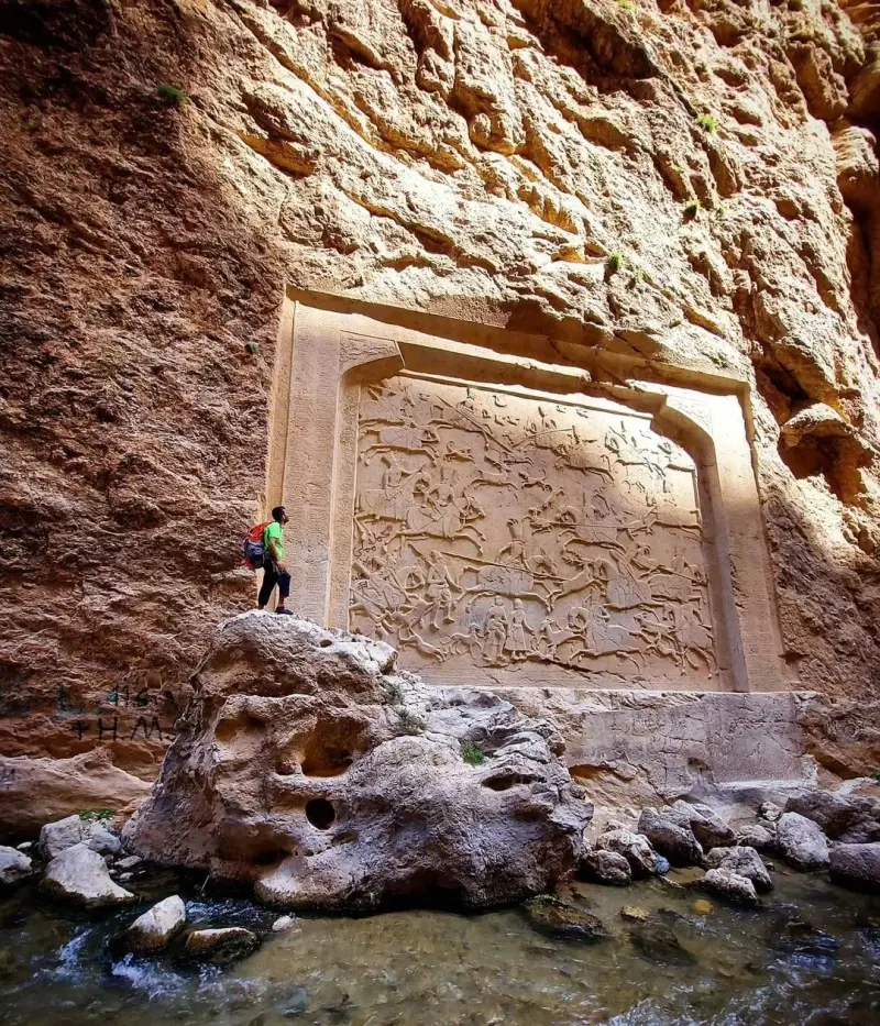
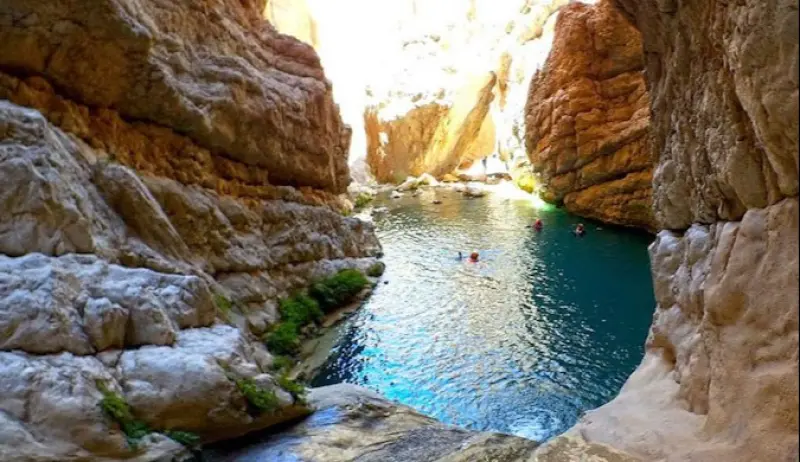
To reach the waterfall at the end of the trail, you need to pass through two gorges. The first is called "Vashi" and the second "Sa". Because the waterfall lies beyond these gorges, it is known as the "Savashi" waterfall. The waterfall is 15 meters high and forms a pool at its foot. On a one-day trip to Vashi Gorge, you can see the gorges, the Savashi meadow and the waterfall. For about 120 years, the Savashi meadow has been the territory of the Sangsari nomads. This beautiful gorge also has historical significance, and you can see traces of its past along the trail.
The best time to visit Vashi Gorge is during the hottest part of the year, in summer. It is best to plan your trip from late Khordad to mid-Shahrivar. However, if you intend to visit the gorge in Khordad or Shahrivar, check the weather conditions in the area and the temperature in the gorge before setting out.
Written by کیانا دهبندی Last updated
Activities
What you can do here, and what it takes
-
Mountaineering
پیمایشی چالشی است چون بخش زیادی از پیمایش در آب انجام میشود.
-
Horse Riding
برای افرادی که احساس خستگی و ناتوانی کنند امکان پیمایش با قاطر و اسب وجود دارد.
-
Swimming
حوضچه پایین آبشار فضای مناسبی برای شنا میباشد.
Specifications
Introduction of the location and specifications of Vashi Gorge
Location:
Tehran, Firuzkuh, Jelizjand Village
Coordinates:
35.87694641, 52.72790854
Open in maps
Height above mean sea:
1700 meter
Land Form:
Mountainous, Mountain
Faunas:
Presence of Predatory Animals, Presence of Herbivorous Animals
Transports:
Walking
Related Tourist Attractions
Attractions that are in the Gorge category

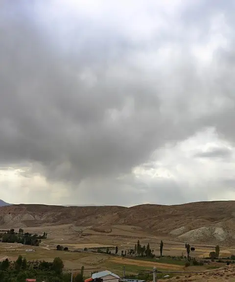

Dehin Village
Province Tehran
- Walking
- Mountaineering
A historic village between mountains and plains
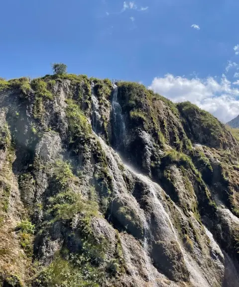

Derasaleh Waterfall
Province Mazandaran
- Walking
- Swimming
- Fishing
A Paradise in the Heart of Savadkuh
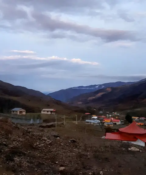
Cherat Village
Province Mazandaran
- Walking
- Mountaineering
- Canyoning
- Caving
- Rock Climbing
A lush summer pasture in the heights of the Central Alborz
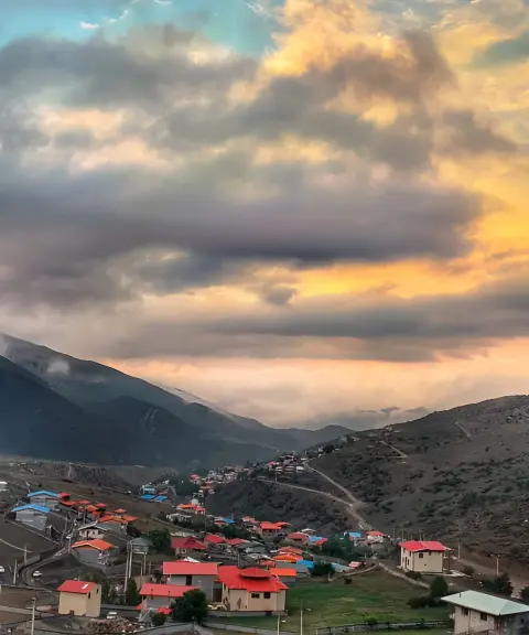
Derasaleh Village
Province Mazandaran
- Walking
The Lost Paradise of Savadkuh in the Green Heights of the Alborz
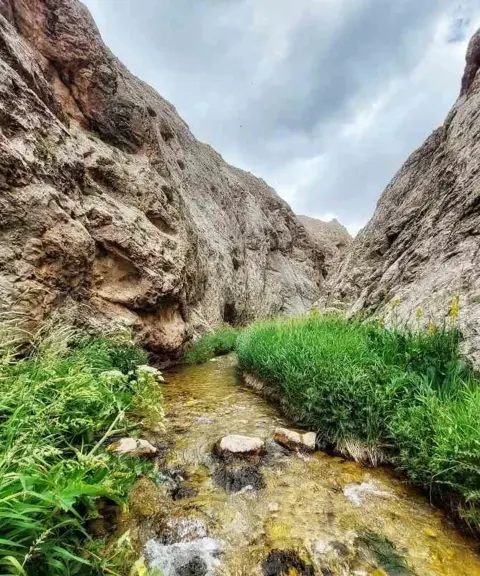
Mishineh Marg Gorge
Province Tehran
- Walking
- Mountaineering
- Canyoning
The Hidden Gem of Iran's Nature
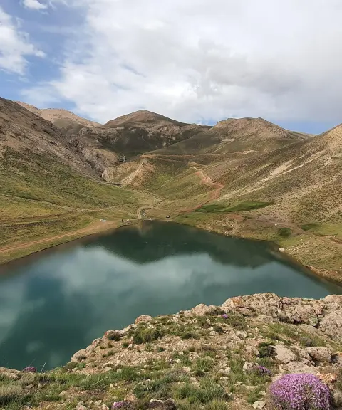

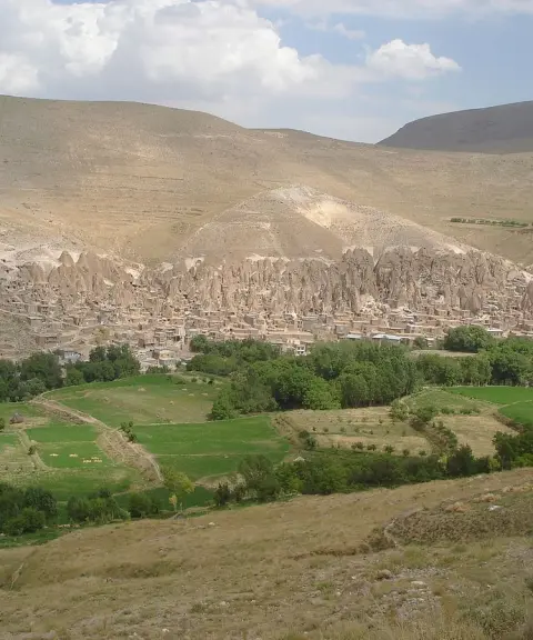
Related tags:
Unfortunately, no comments have been registered.