
 Attractions
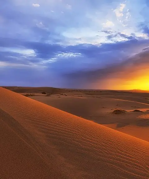
Cherat Village
A lush summer pasture in the heights of the Central Alborz
- Attractions
- Mazandaran, Alasht
- Altitude 2,103 m
- Ability level Beginner
Ability level:
Beginner
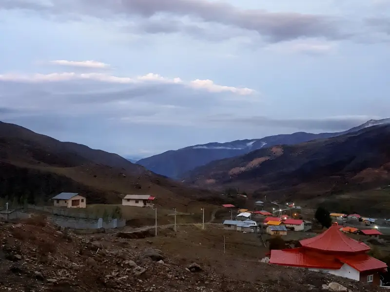
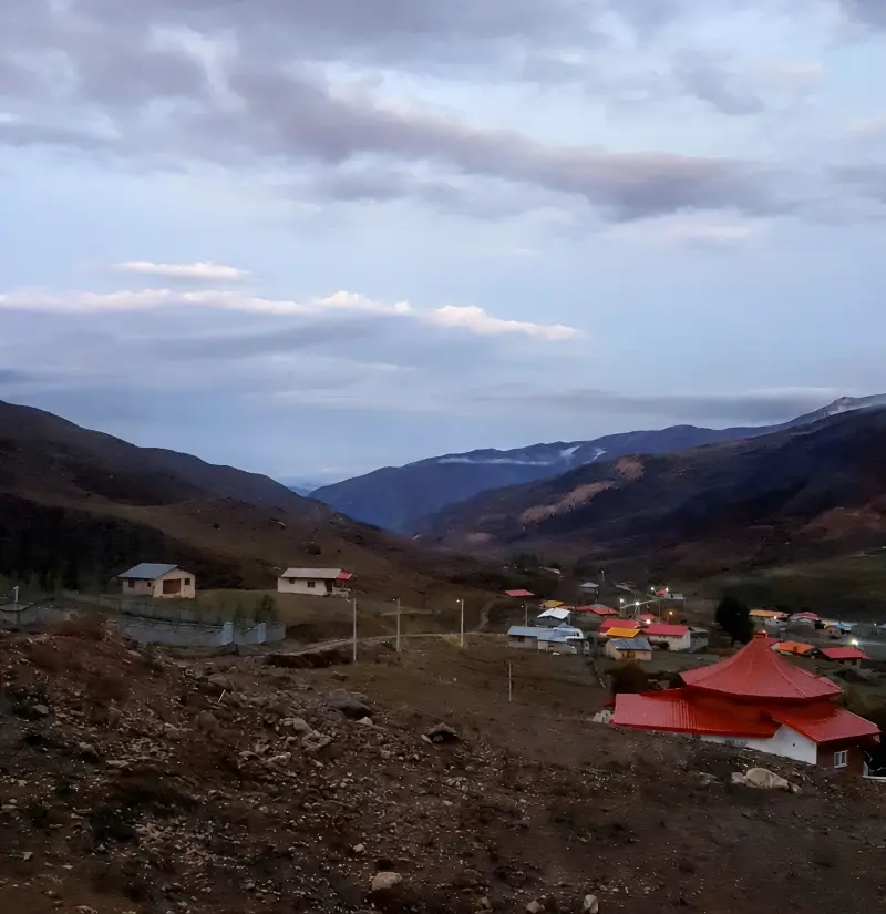
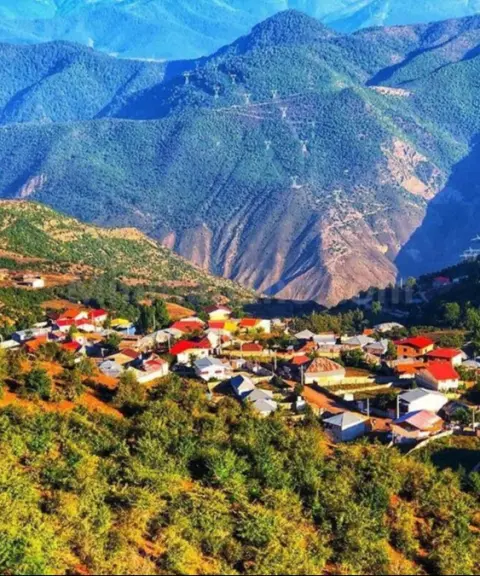
Cherat is a highland village with a pleasant climate in Savadkuh County, Mazandaran Province. It lies near the town of Alasht, in Valopi Rural District, about 22 km from Alasht, in a mountainous part of the Central Alborz range. To the south, the ridgeline marks the border between Tehran and Mazandaran provinces, and to the west and northwest the area is bounded by the Bandpey mountains of Babol. The high elevation, together with Cherat's setting among mountains and lush pastures, gives it a cool summer-pasture climate and mountain scenery. Much of the village area and its surrounding rangelands lie above 2,700 metres, and apart from the valleys where farming is possible, most of the land is used for grazing livestock. Cherat is also a village with a long history and is mentioned in the book Tarikh-e Khandan-e Mar'ashi (History of the Mar'ashi Dynasty). Before the 1336 earthquake (1957), it had about a thousand households, and the ruins of its old quarter can still be seen. The people of Cherat speak Mazandarani, and their traditional way of life has been closely tied to animal husbandry and the area's summer pastures.
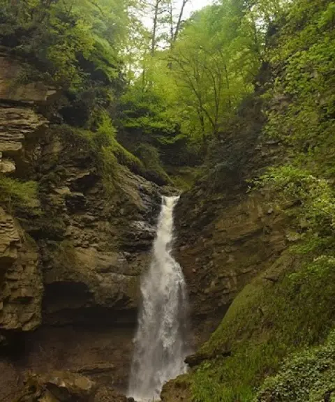
Cherat is home to a range of natural and historical attractions. The most important include its many springs, the Garchaling Waterfall, the Narem Gorge, Shahneshin Peak, ancient caves and the historic Cherat Bath. The Garchaling Waterfall, also known as Narem, Alasht and Pol-e Sefid, is about 10 metres high and pours over a beautiful rock face. The rocky valley behind the waterfall, with its tall walls and unspoiled scenery, is one of the area's sights, and climbers use it as a base for ascents of the surrounding heights, especially Mount Parchenan. Lipasht Cave, also called Sorkh Cave (Red Cave), is in Mount Lipasht. It has an arch-like entrance and attractive mineral formations, and the final section of the route to it is described as difficult and hard to pass. The old Cherat Bath, more than 200 years old, is one of the village's historical monuments. Besides these attractions, the many springs, lush pastures, mountain valleys and scenic landscapes make Cherat one of the best areas for ecotourism and nature tourism in Savadkuh. One of the sources of the Talar River also passes through the Cherat area, adding to the region's natural richness.
Cherat is reached via Alasht, about 22 km away. From Alasht, head toward the village of Karmozd, then turn onto the Cherat road and continue for about another half hour to reach the village. Another route to Cherat starts near the Pol-e Apun bridge, before the fork to Alasht and Karmozd, but it is a dirt road in relatively poor condition. Because the area is a mountainous summer pasture and the access road is unpaved, spring and summer are the best times to visit Cherat, when the weather is milder and the nature and pastures are greener. When visiting Cherat and its surroundings, do not leave litter, damage vegetation, pollute the springs, or disturb local herders and their livestock, and travel along natural trails without harming the environment or historical sites. Safety precautions and suitable equipment are essential when traversing gorges, caves and rocky routes.
Written by زهرا لنگری Last updated
Activities
What you can do here, and what it takes
-
Walking
مسیرهای روستایی و مراتع سرسبز اطراف چرات برای پیادهروی و گشتوگذار در طبیعت ییلاقی مناسب هستند.
-
Mountaineering
ارتفاعات اطراف چرات و قله شاهنشین برای کوهنوردی و پیمایش مسیرهای کوهستانی مناسب هستند.
-
Canyoning
دره صخرهای پشت آبشار گرچلینگ و تنگه نارم برای پیمایش و درهنوردی مناسباند.
-
Caving
غار لیپشت یا سرخغار در کوه لیپشت مقصدی مناسب برای علاقهمندان به غارنوردی است.
-
Rock Climbing
دیوارههای صخرهای اطراف آبشار گرچلینگ و دره نارم امکان انجام فعالیتهای صخرهنوردی را فراهم میکنند.
Specifications
Introduction of the location and specifications of Cherat Village
Location:
Mazandaran, Alasht
Coordinates:
35.97750000, 52.68250000
Open in maps
Height above mean sea:
2103 meter
Floras:
Semi-humid mountain climate
Faunas:
Presence of Predatory Animals, Presence of Allergenic Insects, Presence of Herbivorous Animals
Transports:
Private car, Minibus, Bus
Native Languages:
Tabari
Tourist Attractions in Alasht
Attractions that are nearby


Derasaleh Waterfall
Province Mazandaran
- Walking
- Swimming
- Fishing
A Paradise in the Heart of Savadkuh
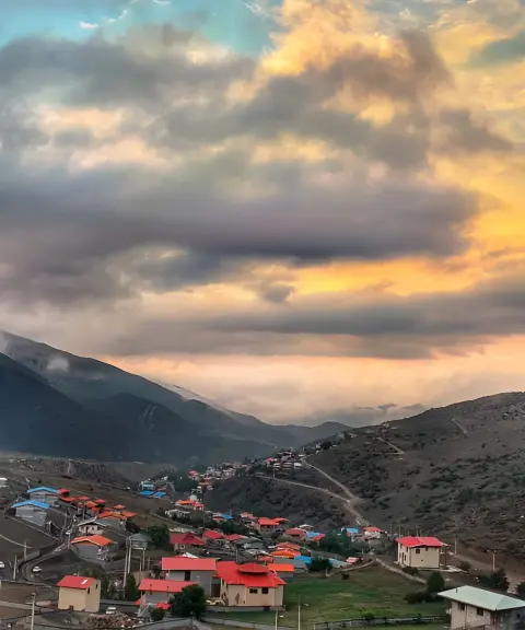
Derasaleh Village
Province Mazandaran
- Walking
The Lost Paradise of Savadkuh in the Green Heights of the Alborz
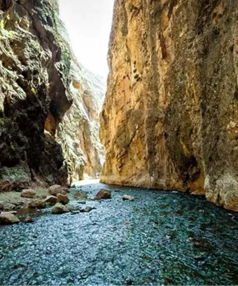

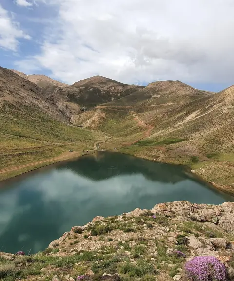

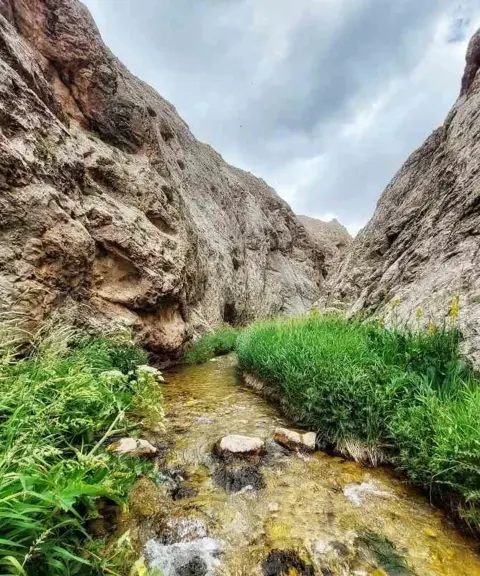
Mishineh Marg Gorge
Province Tehran
- Walking
- Mountaineering
- Canyoning
The Hidden Gem of Iran's Nature
Alasht Village
Province Mazandaran
- Walking
- Cycling
- Horse Riding
The Summer Pasture Paradise of Mazandaran
Related tags:
Unfortunately, no comments have been registered.