
 Mountain
- Ability level Advanced
- Routes 1 recorded route
Ability level:
Advanced
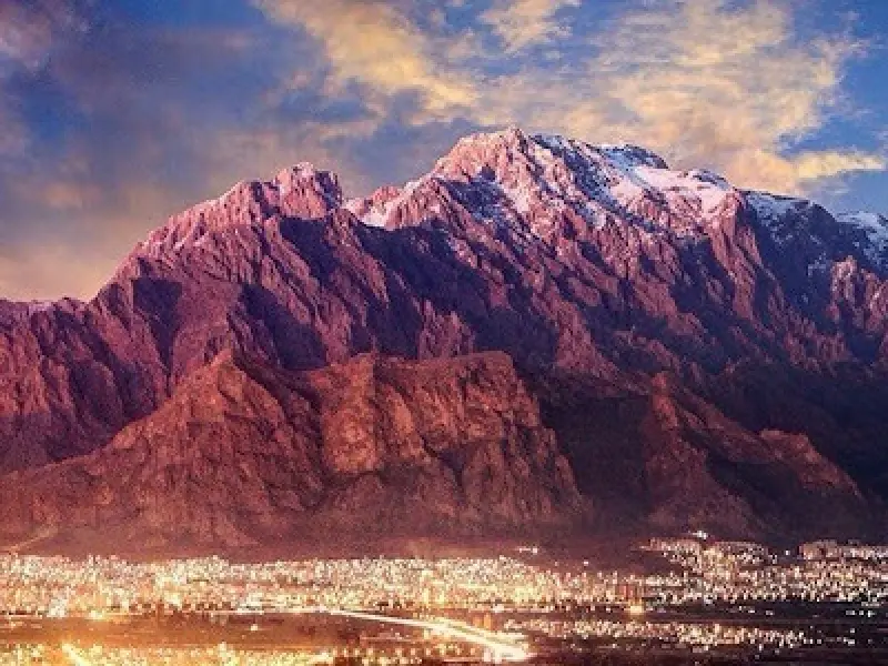
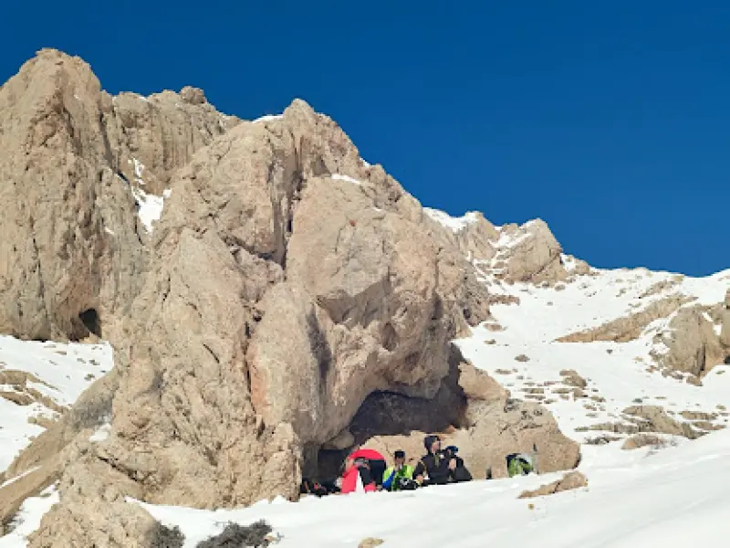
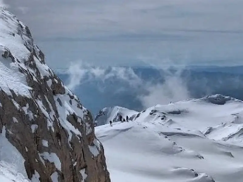
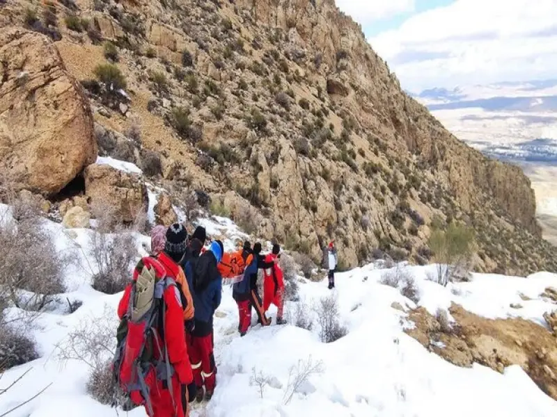
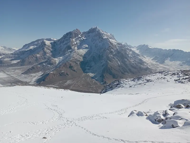
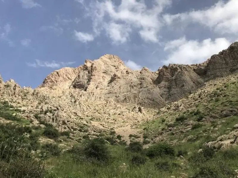
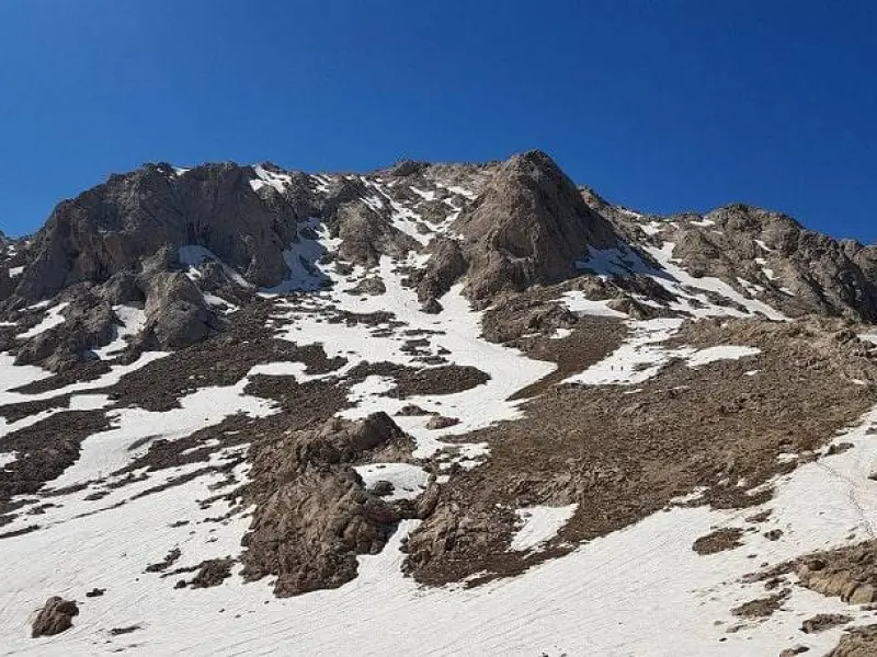
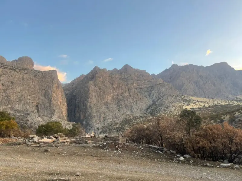
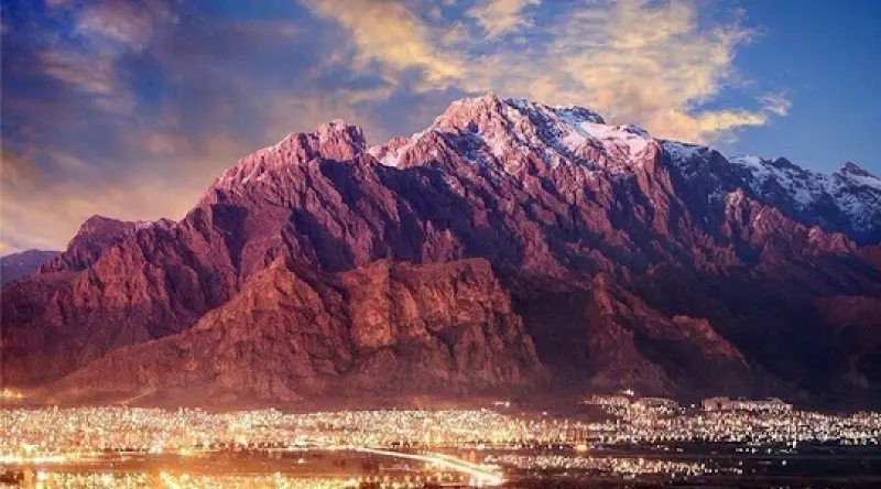
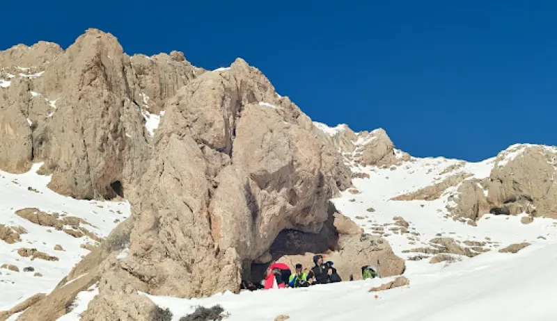
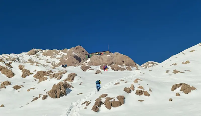
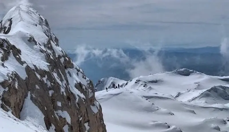
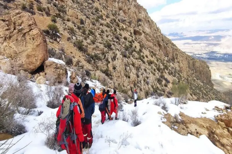
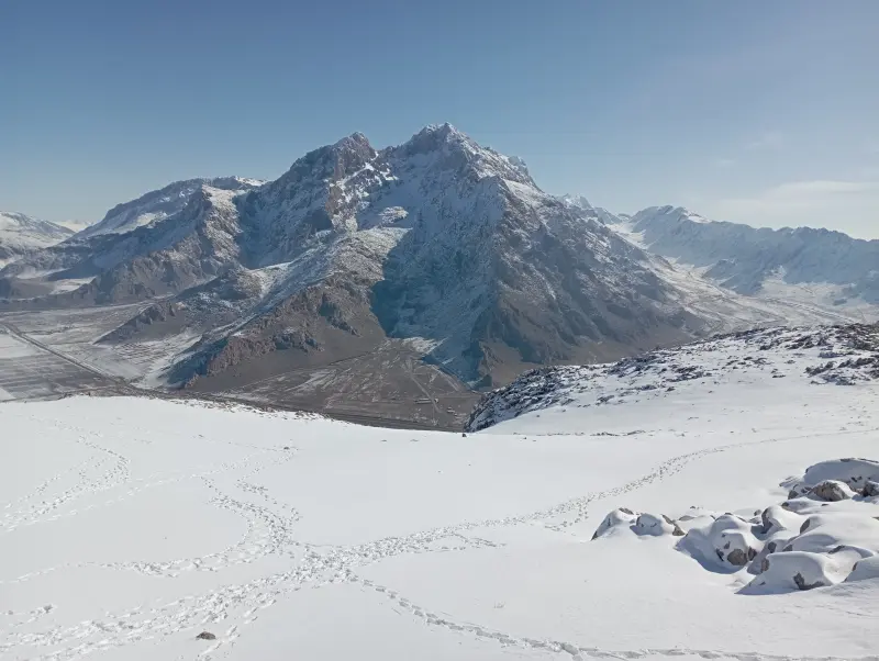
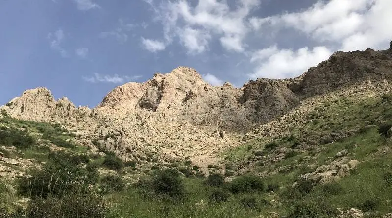
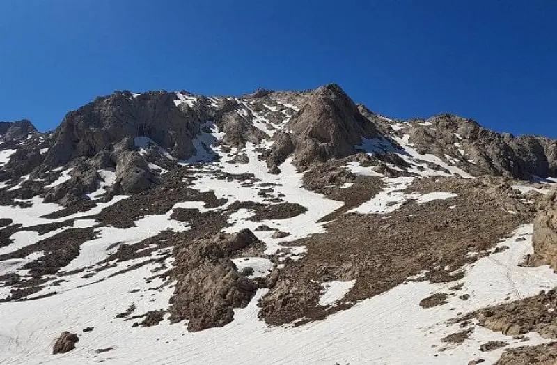
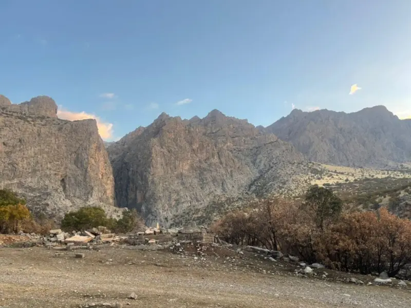
Parav (Pir-Ab) Peak, also known as Sheikh Ali Khan, though it is rarely called by this name today, is the highest peak of the Parav mountain range and the highest peak in Kermanshah Province. For this reason, Parav is one of the peaks of the Simorgh Project of Iran's mountains. Parav is also counted among the 1,515 ultra-prominent peaks of the world. It lies eight kilometres northeast of the city of Kermanshah and is known as one of the main destinations for mountaineers in the region. In some Kurdish dialects, "Par" means "a lot" and "Av" means "water", so Parav means "a region full of water".
The Parav range stretches from the northwest to the northeast of Kermanshah. It is about 80 kilometres long and covers an area of roughly 980 square kilometres, and it forms part of the Zagros Mountains in western Iran. In the northwest the Parav range joins the Shahu range, while in the southeast the famous Gamasiab River separates it from the Garin range. The rural districts of Payravand and Miyan Darband lie to the southwest of the range, and the rural districts of Dinavar and Bilavar lie to the northeast. The main high ridge of the Parav range has numerous peaks higher than 3,000 metres. The main ridge runs from west to east and includes, in order, the peaks of Kheraman, Qeteh Charmi, Parav, Namazgah, Shavdalan, Sehkal, Zanhan, Bisotun, Ban Barzeh and others.
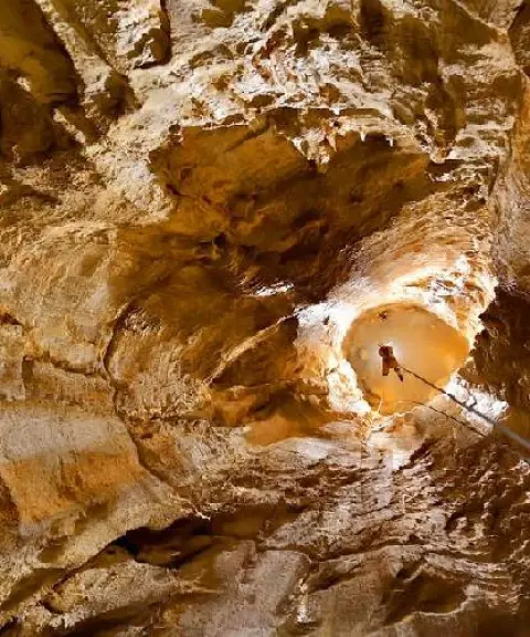
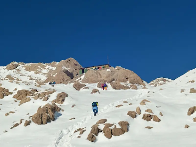
The Parav range contains one of the deepest limestone layers on Earth, and the pressures of the Alpine orogeny have created many fissures in it. For this reason, some of the deepest caves in Iran, such as Parav Cave, Jujar, Qizhlan and Chah Ghar Qala, are located in this range. The Parav range contains one of the deepest limestone layers on Earth, and the pressures of the Alpine orogeny have created many fissures in it. For this reason, some of the deepest caves in Iran, such as Parav Cave, Jujar, Qizhlan and Chah Ghar Qala, are located in this range. At present, the usual and most common route to the summit of Parav is the southern route. It begins at the cement factory, 20 kilometres east of Kermanshah (on the Kermanshah–Bisotun road), and at the village of Chalabeh. Judging by the local dialect, the village's original name must derive from "Chal Aveh", meaning a place where water collects.
Written by زهرا لنگری Last updated
Activities
What you can do here, and what it takes
-
Mountaineering
تجهیزات کوهنوردی همراه داشته باشید.
-
Walking
کفش مناسب پیادهروی برای گشتوگذار از وسایل ضروری است.
Specifications
Introduction of the location and specifications of Parav Peak
Location:
Kermanshah, Kermanshah
Coordinates:
34.41843500, 47.24321100
Open in maps
Height above mean sea:
3405 meter
Land Form:
Mountainous, Mountain
Floras:
Temperate Grasslands
Faunas:
Presence of Predatory Animals, Presence of Allergenic Insects, Presence of Herbivorous Animals
Transports:
Private car, Walking, Only with technical climbing equipment
Tourist Attractions in Kermanshah
Attractions that are nearby

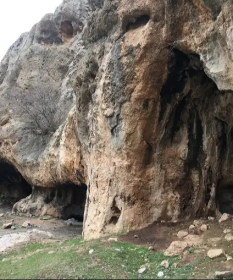


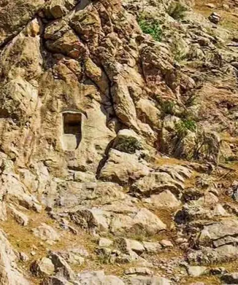
Bernaj Rock-Cut Tomb
Province Kermanshah
- Walking
- Mountaineering
A thousand-year-old stone mystery in the heart of the Harsin mountains
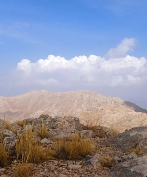
Yafteh Peak
Province Kermanshah
- Mountaineering
- Walking
Unfortunately, no comments have been registered.