
 Attractions
Chogha Zanbil
A Remarkable Legacy of the Ancient Elamite Civilization
- Attractions
- Khuzestan, Shush
- Altitude 85 m
- Ability level Family
Ability level:
Family
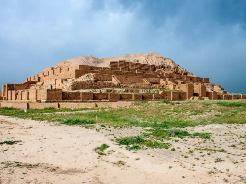
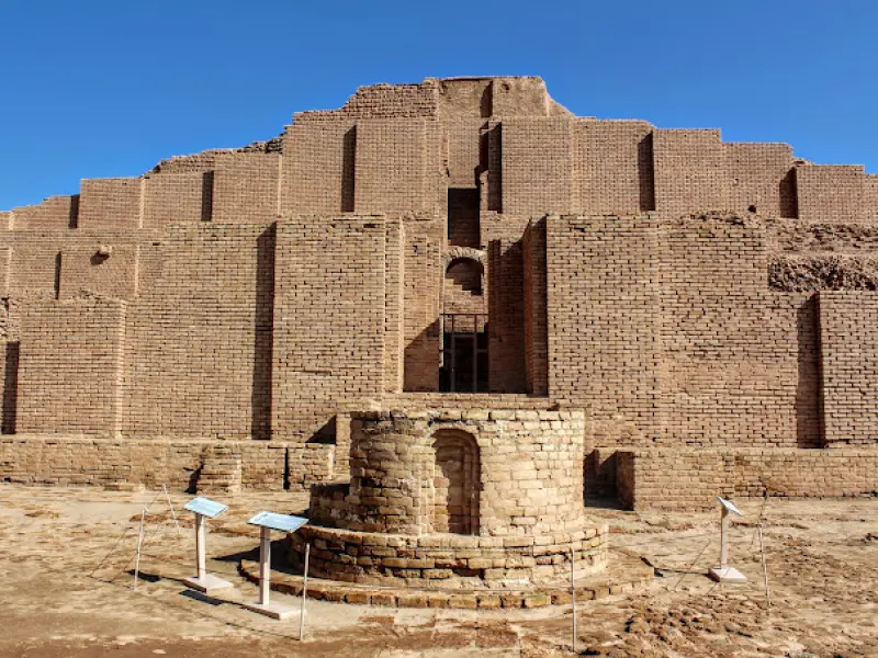
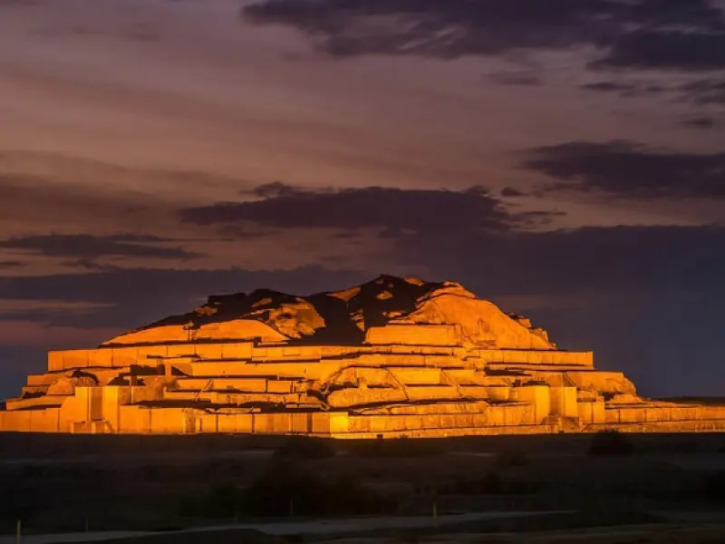
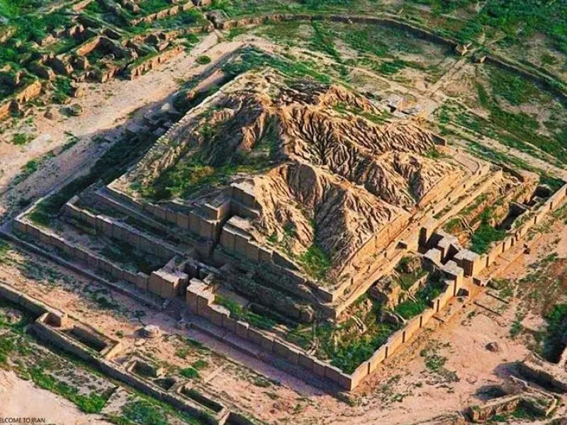
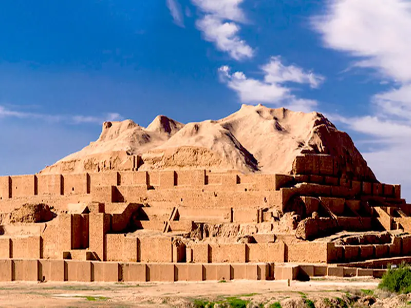
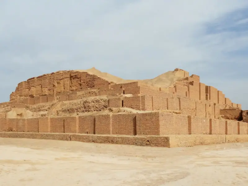
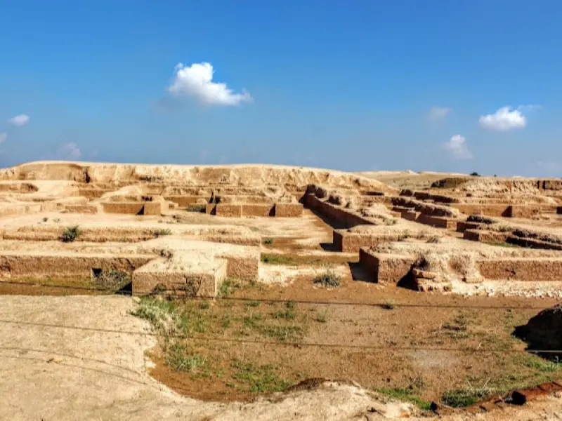
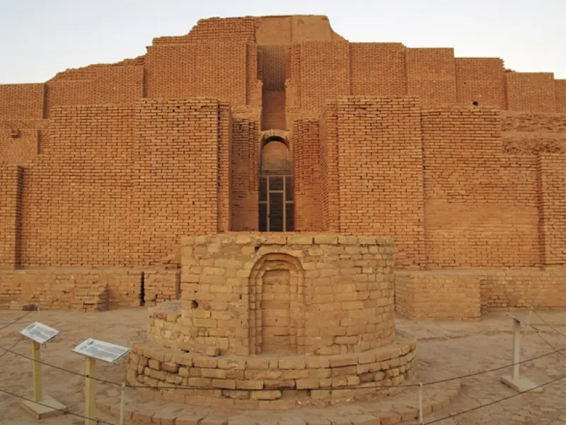
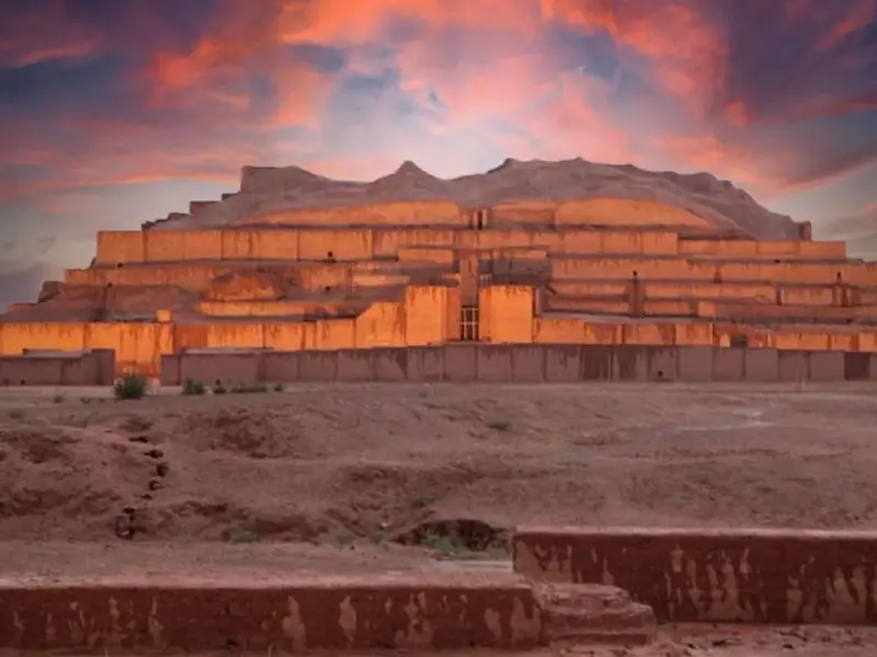
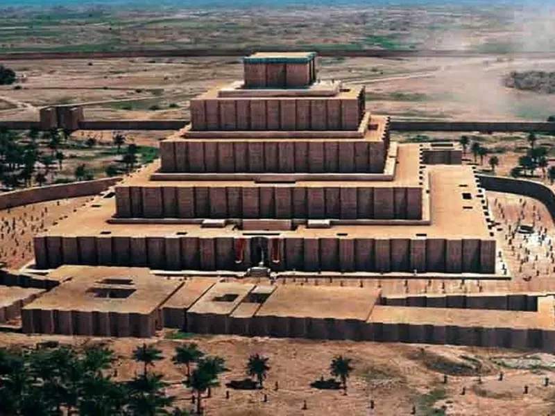
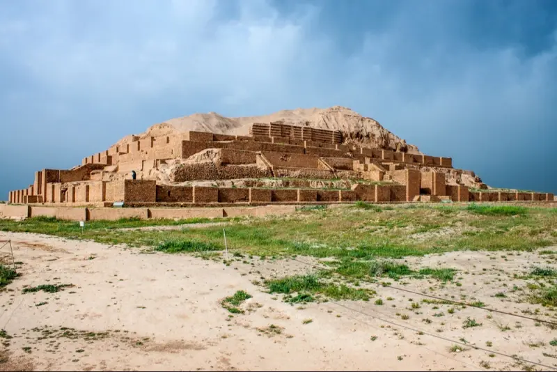
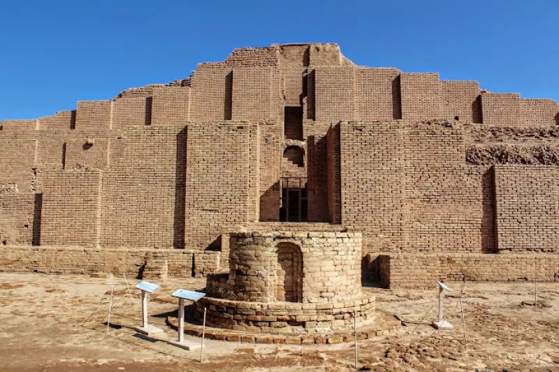
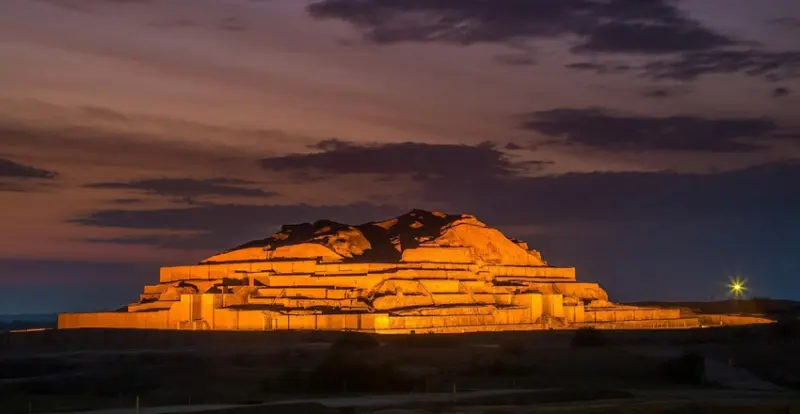
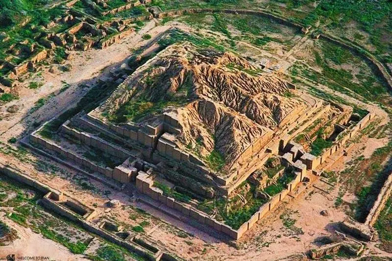
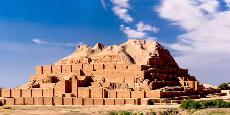
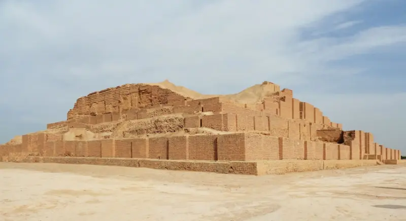
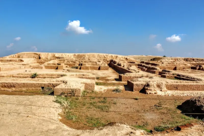
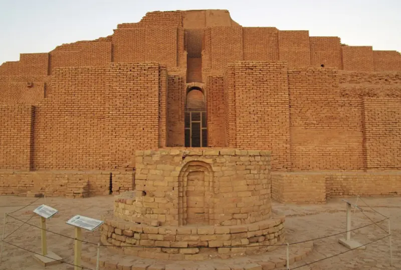
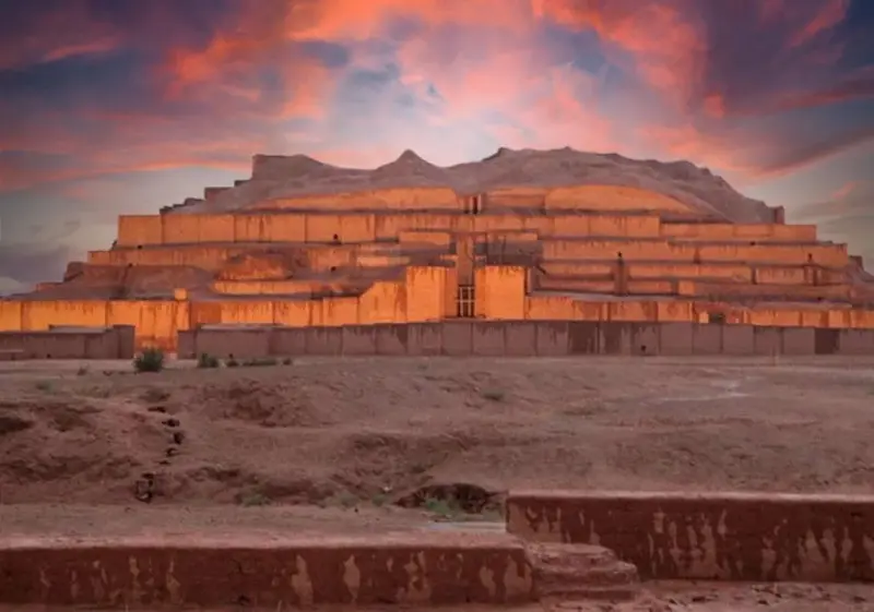
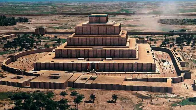
The Ziggurat of Dur-Untash, known in Persian as Chogha Zanbil, is an ancient Elamite temple built around 1250 BCE. The name of the structure appears as Dūr Untaš in Assyrian and Āl Untaš dNapiriša in Elamite. In the Luri language, "Chogha" means hill and "Zanbil" means basket. The ziggurat was the central part of the ancient city of Dur-Untash (Untash) and stands near the city of Susa in Khuzestan Province. In 1979, Chogha Zanbil became the first Iranian site to be inscribed on the UNESCO World Heritage List, and it has since been regarded as one of the outstanding symbols of ancient religious architecture.
The architecture of the Chogha Zanbil ziggurat is unique in many respects, and it ranks alongside the ziggurats of Mesopotamia as one of the most important ancient religious structures. The monument is significant not only historically but also as a symbol of a civilization that flourished in Iran before the Achaemenid era. Many Orientalists consider Chogha Zanbil the oldest known religious building in Iran and see it as evidence of the advances in architecture and engineering made in the Elamite period.
Chogha Zanbil is located in southwestern Iran, in Shush County in Khuzestan Province. It lies close to the ancient site of Haft Tappeh, 35 kilometers west of the historic city of Shushtar and 40 kilometers southeast of the city of Susa. Because it lies west of the Dez River, the temple belongs administratively to Shush County. Chogha Zanbil can be reached by the Susa–Ahvaz road, as well as by the road from Shushtar to Haft Tappeh (the Karun Agro-Industry road).
Written by زهرا لنگری Last updated
Activities
What you can do here, and what it takes
-
Walking
کفش پیادهروی به همراه داشته باشید..
Specifications
Introduction of the location and specifications of Chogha Zanbil
Location:
Khuzestan, Shush
Coordinates:
32.00909490, 48.52166533
Open in maps
Height above mean sea:
85 meter
Floras:
Deserts and Dry Shrublands
Faunas:
Presence of Allergenic Insects
Transports:
Private car, Walking
Tourist Attractions in Khuzestan
Attractions that are nearby

Karkheh National Park
Province Khuzestan
- Walking
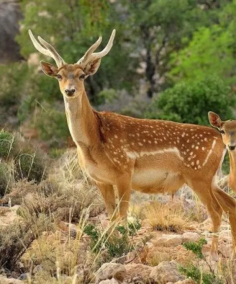
The Last Habitat of the Persian Fallow Deer in the Heart of Khuzestan
Shadorvan Bridge (Band-e Qaisar)
Province Khuzestan
- Walking
A masterpiece of Sasanian-era hydraulic engineering



Shushtar Historical Hydraulic System
Province Khuzestan
- Walking
The finest historical water structure
Related tags:
Unfortunately, no comments have been registered.